Sour Howes and Sallows
Tue 9 Sep 2003
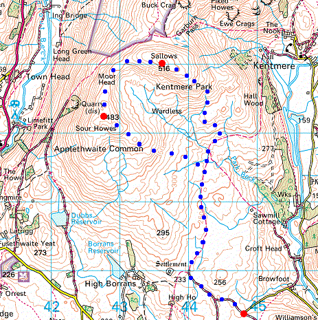
Route: End of Browfoot Lane - Capple Howe - Sour Howes - Moor Head - Sallows - Kentmere Park - End of Browfoot Lane
Distance: 6.75 miles
Ascent: 1,200ft
Time: 2 hours 30 minutes
With: On Own
Notes:
Sunshine and showers
© Crown copyright. All rights reserved. Licence number AL100038401
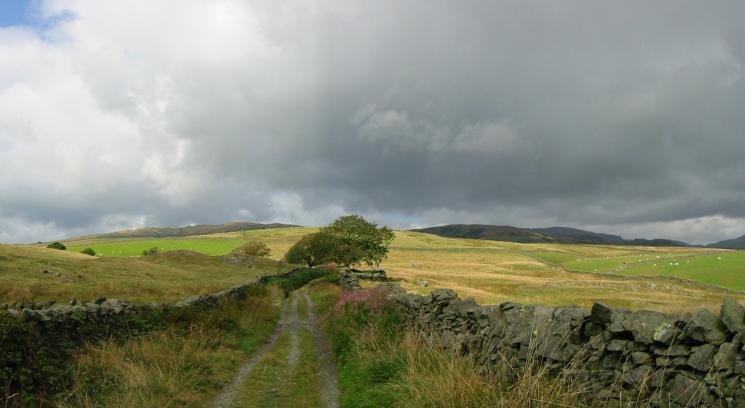
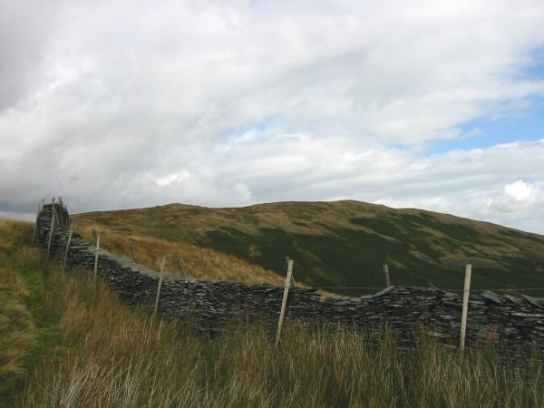
The track at the start of the walk. Sour Howes is to the left of the tree, Sallows to the right
Sallows from the Ings to Kentmere bridleway
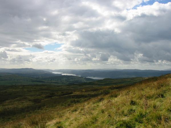
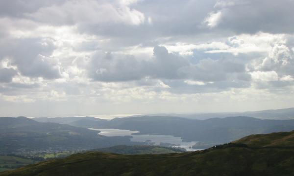
Windermere from the ascent of Capple Howe
Sour Howes and Sallows from Capple Howe
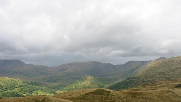
Red Screes and Caudale Moor from the summit of Sour Howes

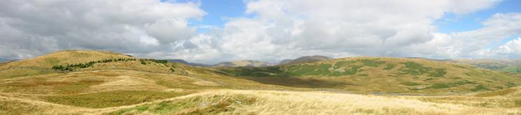
360 Panorama from Sour Howes' summit
Troutbeck Tongue catching the sunlight in the centre with Caudale Moor behind
Sallows from the ridge from Sour Howes
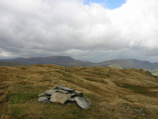
Looking back to Sour Howes from Sallows summit
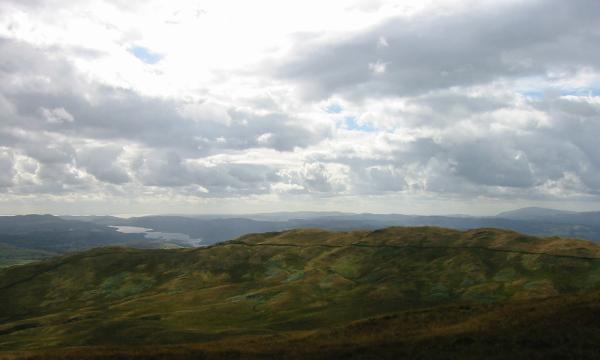
Windermere from Sallows summit

360 Panorama from Sallows' summit
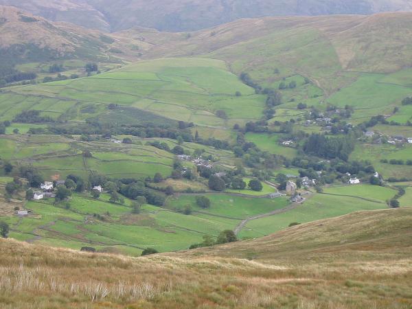
Kentmere village from the descent
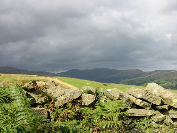
The eastern arm of the Kentmere Horseshoe from the start / finish of the walk
Previous Walk: Knipescar Common (Sun 7 Sep 2003)
Next Walk: Yewbarrow (Fri 12 Sep 2003)