Pike O'Blisco and Cold Pike
Wed 20 Aug 2003
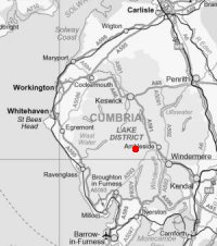
Route: Wrynose Pass - Black Crag - Pike O'Blisco - Red Tarn - Cold Pike - Wrynose Pass
Distance: 3.75 miles
Ascent: 1,750ft
Time: 2 hours 15 minutes
With: On Own
Notes:
Cloud broken, base approx. 3,000ft, cool wind on the tops
© Crown copyright. All rights reserved. Licence number AL100038401
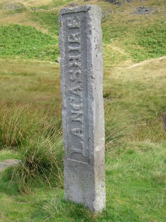
Three Shire Stone
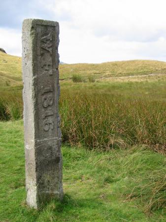
Three Shire Stone
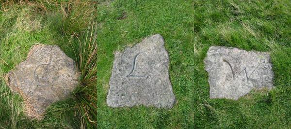
Three Shire Stones. Three Stones have traditionally marked the adjoining counties of Cumberland, Westmorland and Lancashire
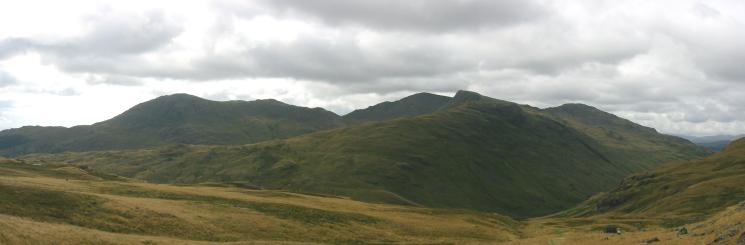
Wetherlam, Swirl How, Great Carrs and Grey Friar
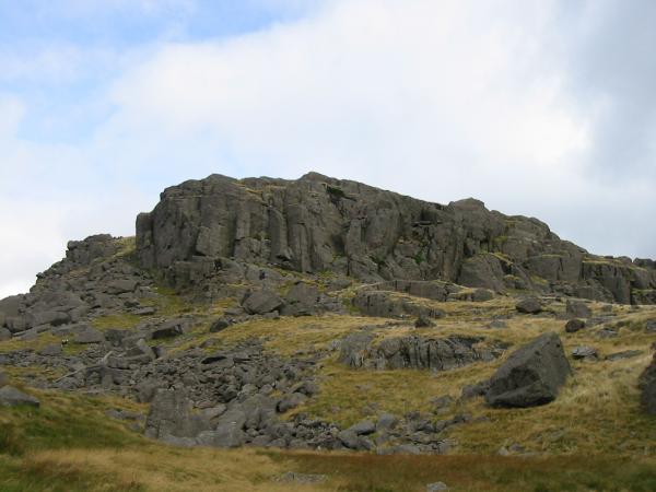
Black Crag
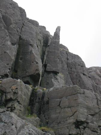
Wainwright's 'The Needle', Black Crag
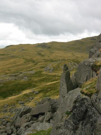
Wainwright's 'The Needle', Black Crag
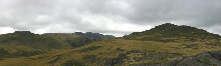
Cold Pike, Crinkle Crags and Pike O' Blisco from Black Crag
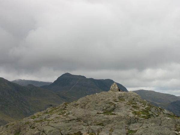
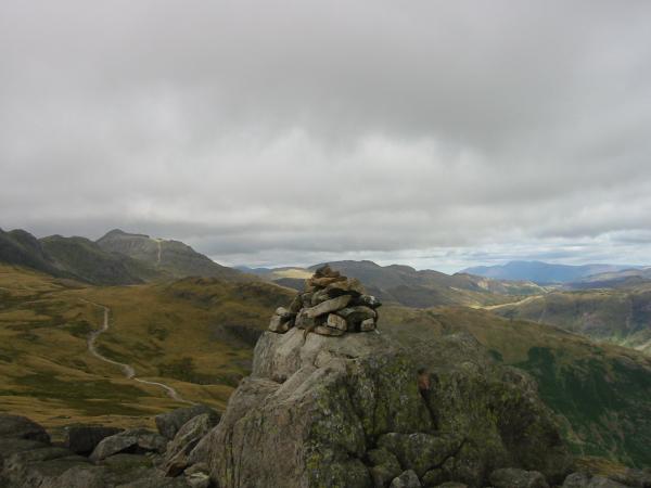
Bowfell from Pike O' Blisco's summit
Pike O' Blisco's summit cairn

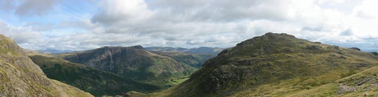
360 Panorama from Pike O' Blisco's summit
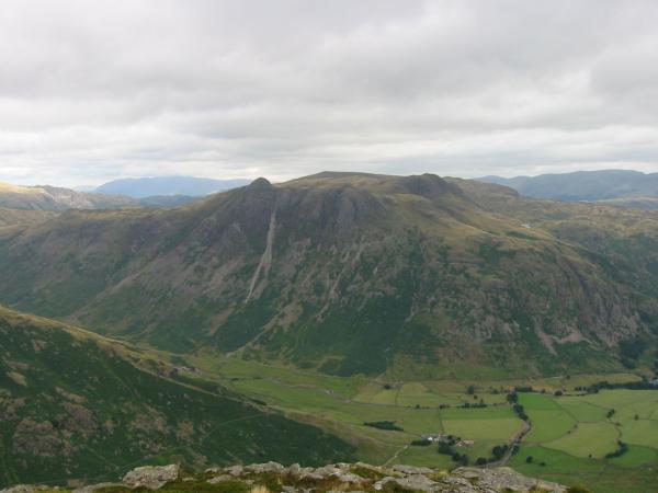
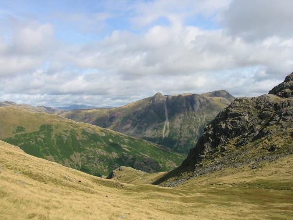
The Langdale Pikes from Pike O' Blisco's summit
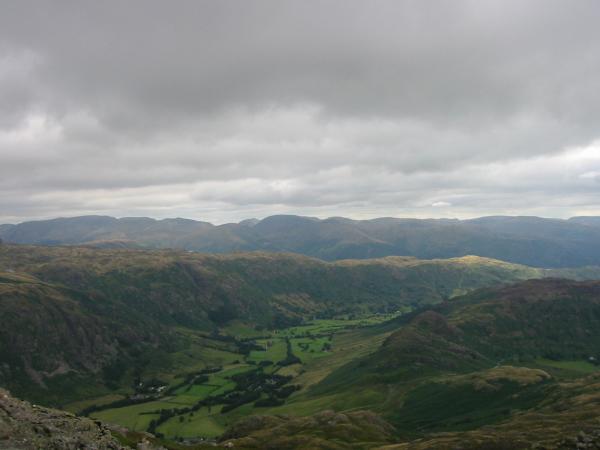
The view east from Pike O' Blisco's summit. Great Langdale, the Blea Rigg ridge and the eastern fells
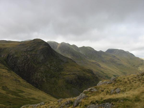
Great Knott, Crinkle Crags and Bowfell from Pike O' Blisco
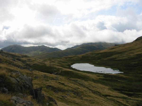
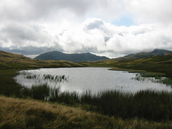
Looking down on Red Tarn
Wetherlam from Red Tarn
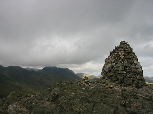
The Langdale Pikes
The Langdale Pikes and Pike O' Blisco from the ascent of Cold Pike
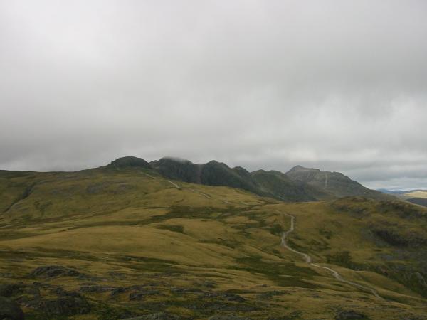
The path to Crinkle Crags
Cold Pike summit

360 Panorama from Cold Pike's summit
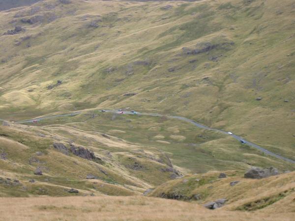
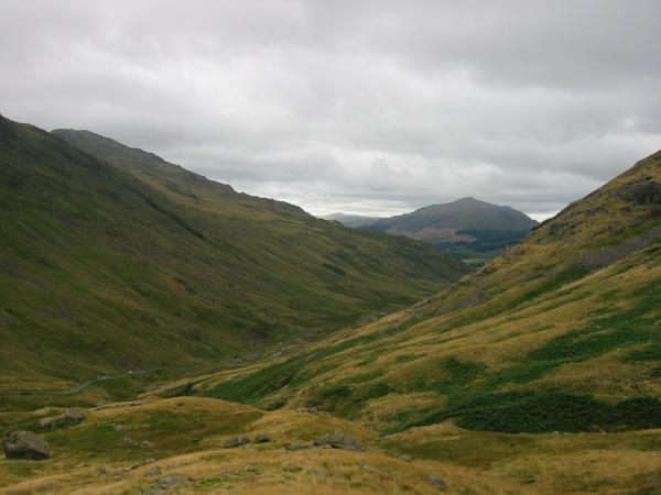
Looking down on Wrynose Pass
Looking west to Harter Fell fom the descent back to Wrynose Pass
Previous Walk: Robinson, Hindscarth and Dale Head (Sat 16 Aug 2003)
Next Walk: Great Gable South Traverse (Sun 24 Aug 2003)