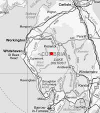
Robinson, Hindscarth and Dale Head
Sat 16 Aug 2003
Route: Buttermere Village - High Snockrigg - Buttermere Moss - Robinson - Littledale Edge - Hindscarth - Hindscarth Edge - Dale Head - Honister Pass
Distance: 6.50 miles
Ascent: 2,950ft
Time: 5 hours 40 minutes
With: Anne, Roger & Ann Hiley, Jill, Nigel, Richard & Matthew Batchelor, Andy Wallace and Lorraine Grundy (for part)
Notes:
Sunshine, warm
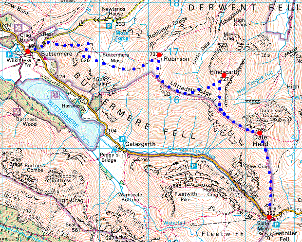
© Crown copyright. All rights reserved. Licence number AL100038401
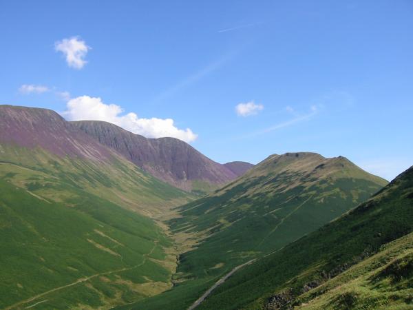
Sail Beck and Knott Rigg from the ascent of High Snockrigg
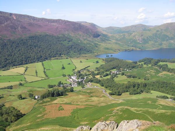
Looking back down on Buttermere village
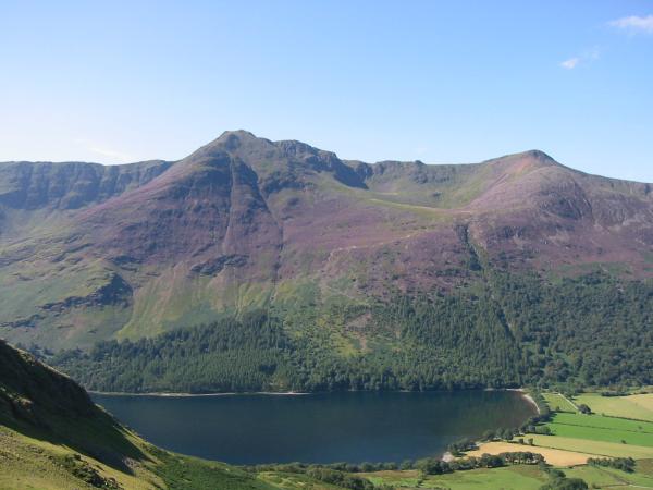
Looking across Buttermere to High Stile and Red Pike
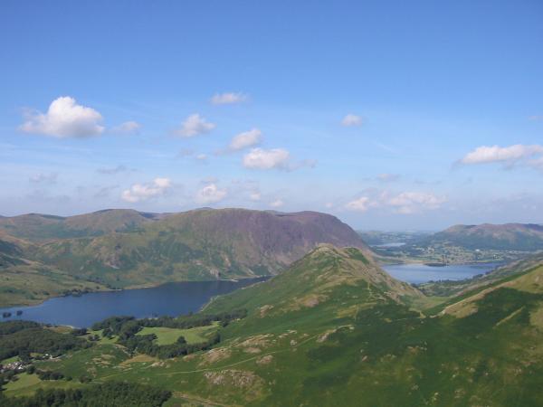
Rannerdale Knotts with Mellbreak behind, Crummock Water and Loweswater

Northerly panorama from High Snockrigg: The Grasmoor Fells, Blencathra, Catbells, Clough Head and Robinson
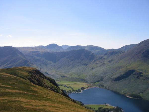
Haystacks with Great Gable, Scafell Pike and Kirk Fell behind from High Snockrigg
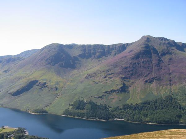
High Crag and High Stile from High Snockrigg

Southerly panorama from High Snockrigg: Fleetwith Pike to Grasmoor

Grasmoor, Wandope, Eel Crag, Sail and Scar Crags from the ascent of Robinson
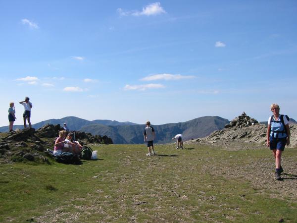
Robinson's summit

Skiddaw and Blencathra from Robinson

The Helvellyn ridge from Robinson

Hindscarth, Littledale Edge, Dale Head and Honister Pass
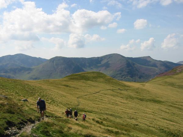
Ascending Hindscarth
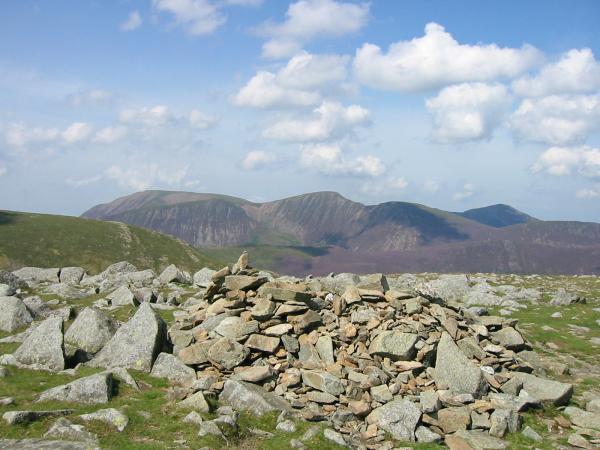
Grasmoor, Eel Crag, Sail and Grisedale Pike from Hindscarth's summit

360 Panorama from Hindscarth's summit
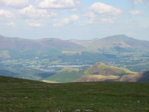
Catbells with Blencathra behind from Hindscarth
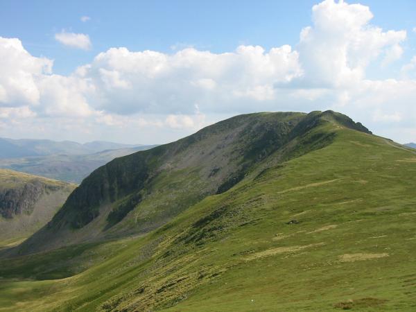
Dale Head
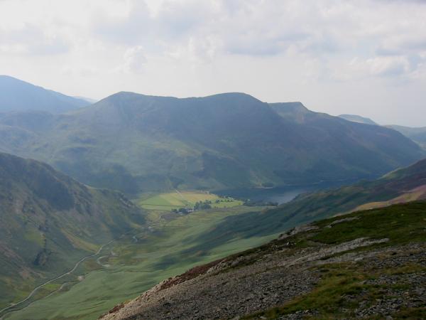
Buttermere and the High Stile ridge
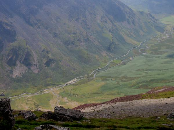
Looking down on Gatesgarthdale
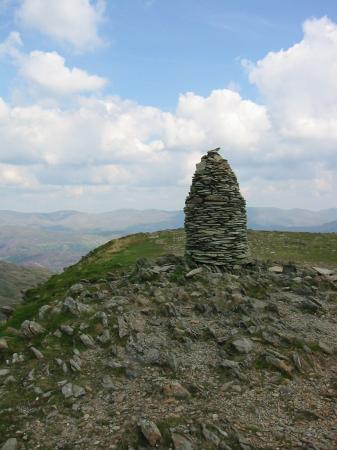
Dale Head summit cairn
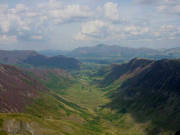
Newlands valley from Dale Head's summit
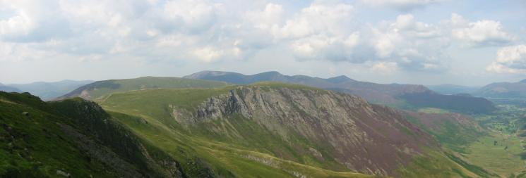
Robinson and Hindscarth from Dale Head's summit

The view south from Dale Head's summit
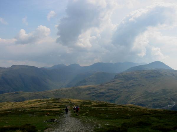
The view south from the descent to Honister Hause
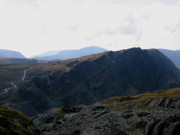
Honister Crag
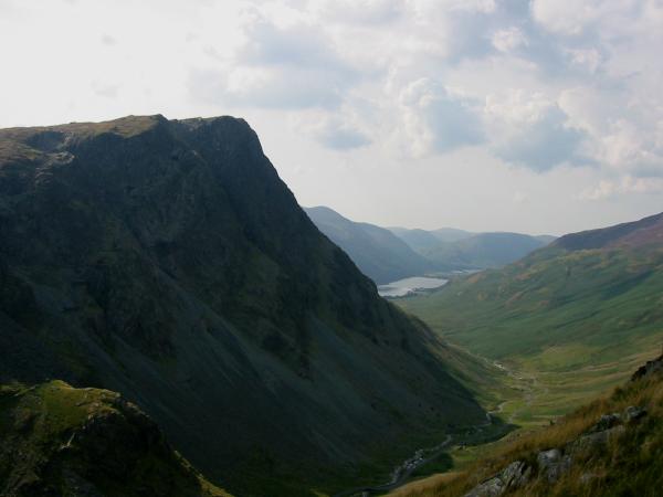
Honister Crag
Previous Walk: Upper Borrowdale (Fri 8 Aug 2003)
