Rannerdale Knotts and Rannerdale Bluebells
Sun 18 May 2003
Route: Cinderdale Common - Rannerdale - Low Bank - Rannerdale Knotts - Hause Point - Cinderdale Common
Distance: 3.50 miles
Ascent: 800ft
Time: 1 hour 50 minutes
With: Anne and Ann Hiley
Notes:
Windy, rain showers
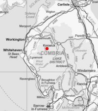
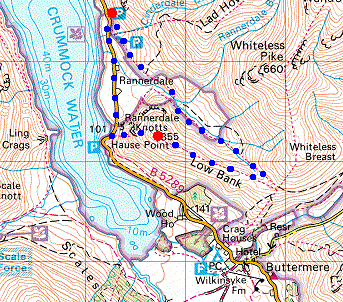
© Crown copyright. All rights reserved. Licence number AL100038401
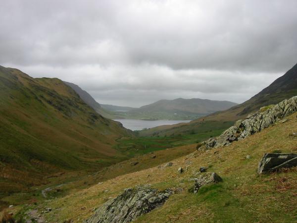
Rannerdale Knotts from Cinderdale Common
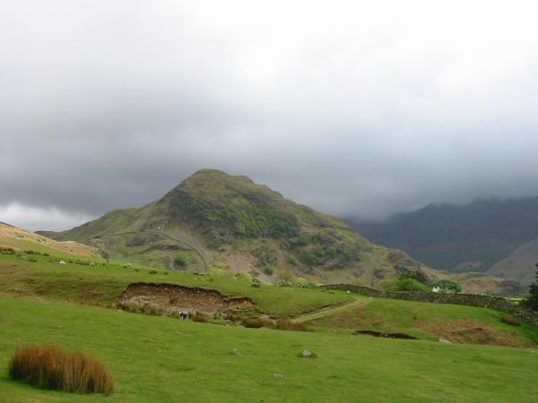
Whiteless Pike and the Rannerdale Bluebells
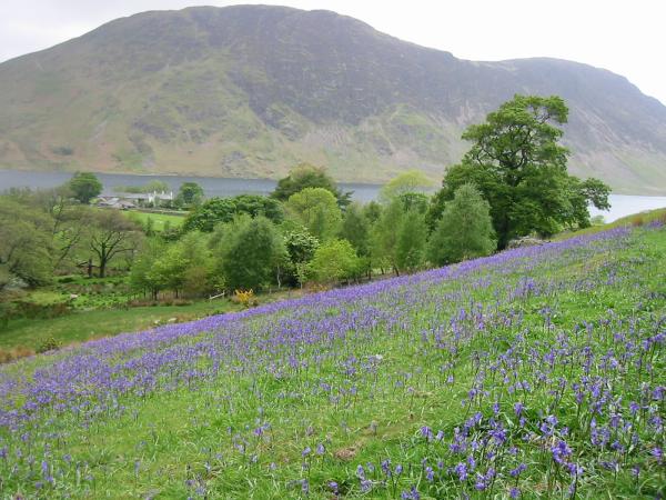
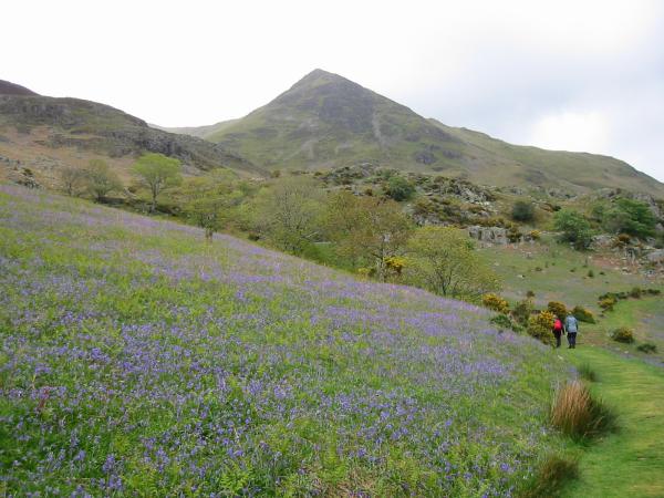
Mellbreak and the Rannerdale Bluebells
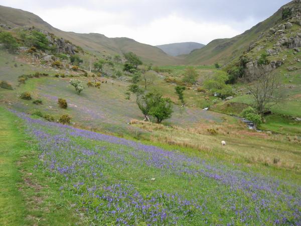
Rannerdale Bluebells
Looking back down Rannerdale with the 'blue hazy' of the Bluebells
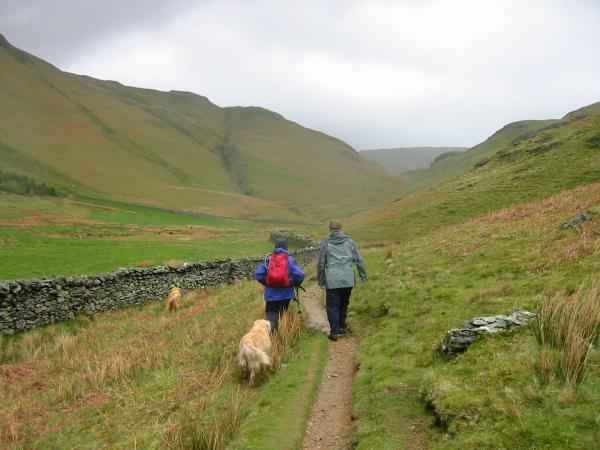
Heading up the valley
The view back down the valley towards Loweswater, Low Fell and Crummock Water
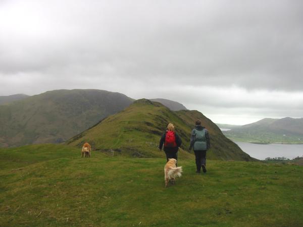
Heading along Low Bank
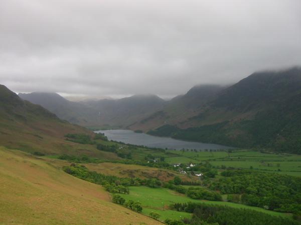
Buttermere
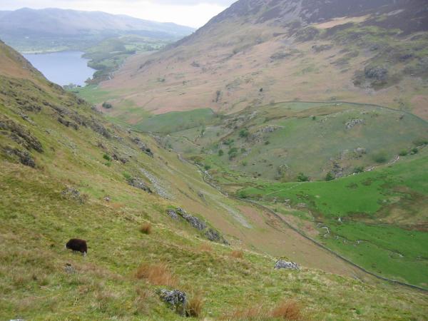
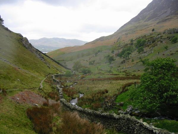
Looking down into Rannerdale
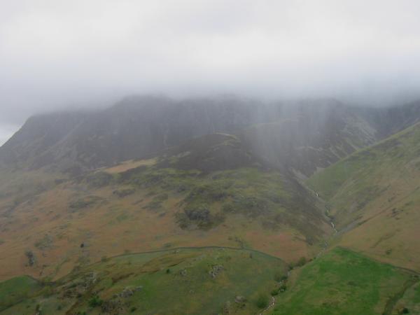
Rain and cloud hide Grasmoor
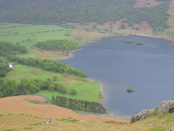
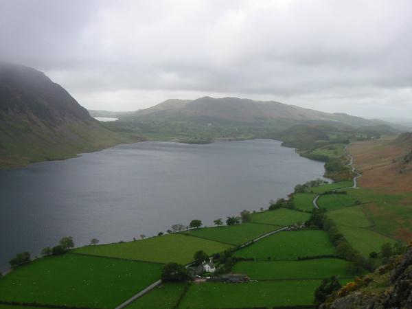
The head of Crummock Water
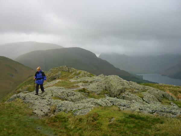
Ann on the ridge with High Snockrigg and Robinson behind
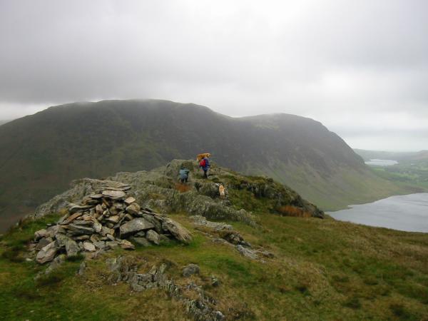
Mellbreak, Loweswater and Crummock Water from Rannerdale Knotts summit
Low Fell and Crummock Water from the descent
Previous Walk: Castle Crag and High Doat (Sat 17 May 2003)
Next Walk: Grey Crag, Harrop Pike, Tarn Crag (Sat 24 May 2003)