Caudale Moor and High Street
Sat 12 Apr 2003
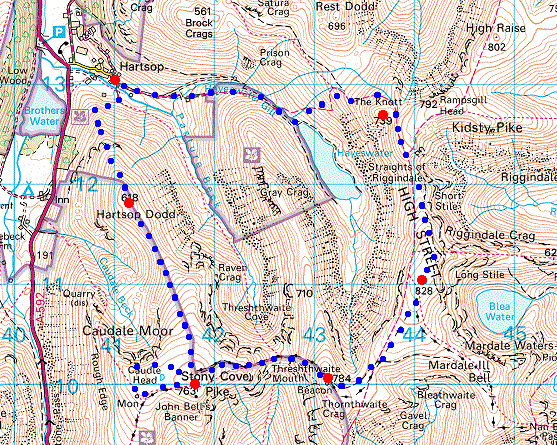
Route: Hartsop - Hartsop Dodd - Caudale Moor (Stony Cove Pike) - Threshthwaite Mouth - Thornthwaite Crag - High Street - The Knott - Hayeswater - Hayeswater Gill - Hartsop
Distance: 9.00 miles
Ascent: 3,100ft
Time: 4 hours 55 minutes
With: Anne
Notes:
Warm, sunny, hazy
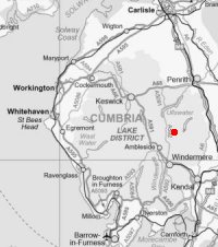
© Crown copyright. All rights reserved. Licence number AL100038401
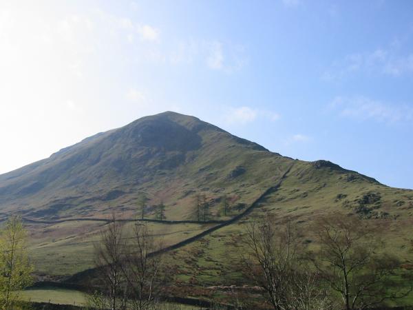
Hartsop Dodd from Hartsop
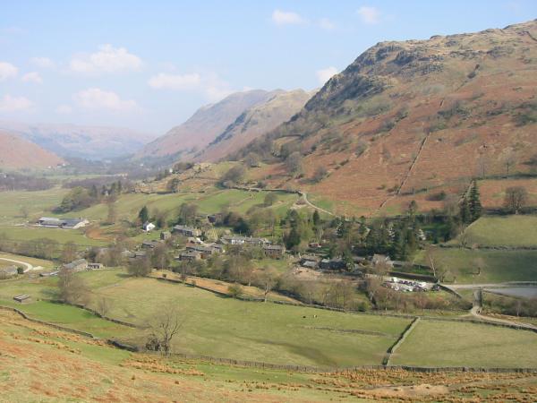
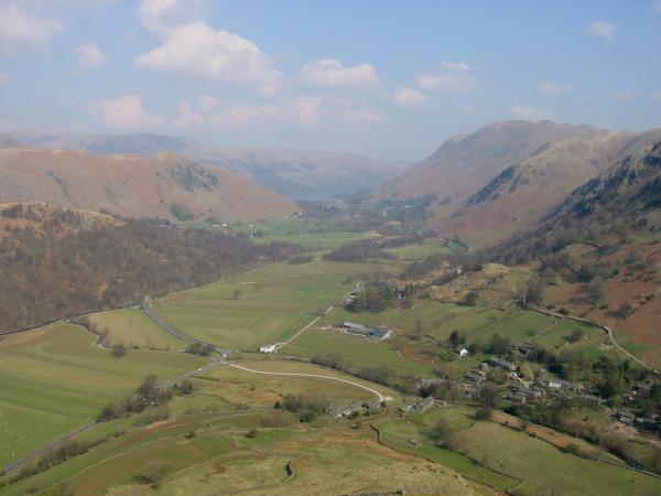
Looking back down on Hartsop
Hartsop Above How and Brothers Water
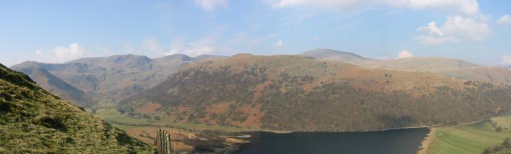
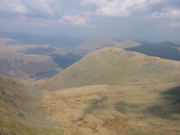
Patterdale with Ullswater in the distance from the north ridge of Hartsop Dodd
Angletarn Pikes, Brock Crags and Rest Dodd
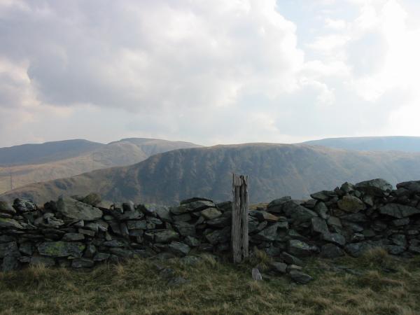
The wooden post marking the top of Hartsop Dodd with Gray Crag behind

360 Panorama from Hartsop Dodd's summit
Looking west to Dovedale from Hartsop Dodd
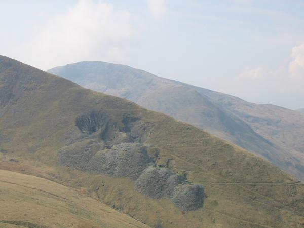
Caudale Quarry on the side of Rough Edge, Caudale Moor with Red Screes behind
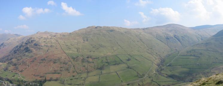
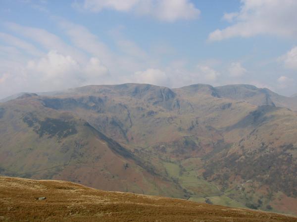
Looking back towards Hartsop Dodd from the route up Caudale Moor
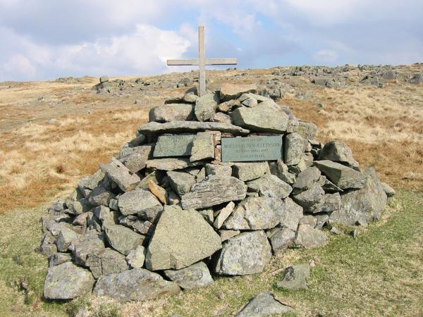
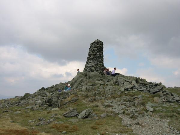
Atkinson Monument
Hartsop Dodd from Caudale Head
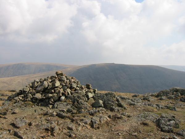
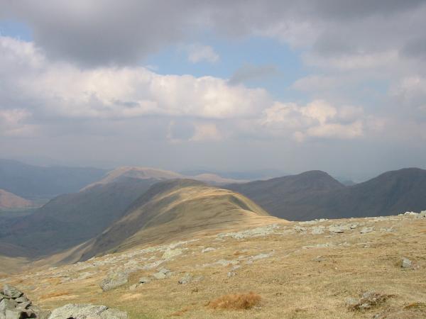
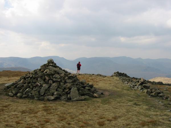
Thornthwaite Beacon from Stony Cove Pike, the top of Caudale Moor

360 Panorama from Caudale Moor (Stony Cove Pike)'s summit
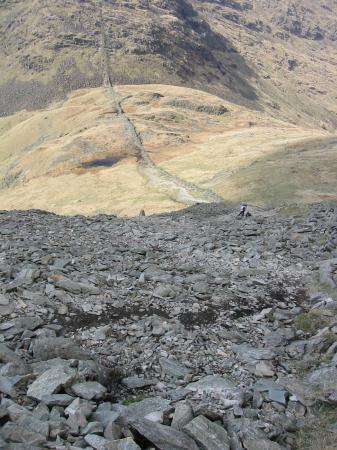
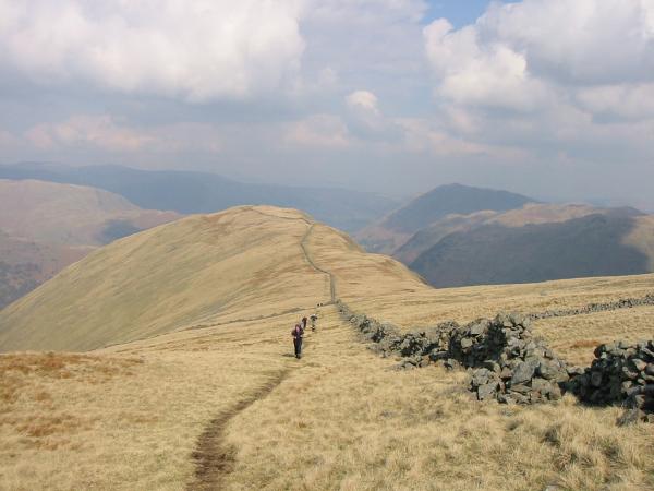
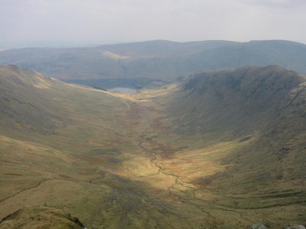
Looking back down to Threshthwaite Mouth from the climb up Thornthwaite Crag
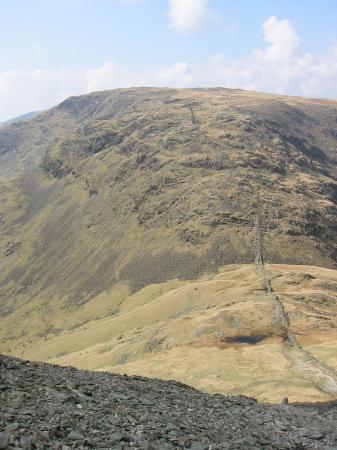
Looking back across to Caudale Moor from the climb up Thornthwaite Crag
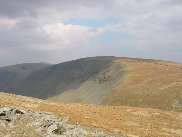
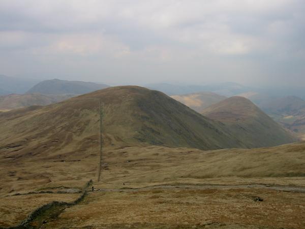
Gray Crag from Thornthwaite Crag
Thornthwaite Beacon

360 Panorama from Thornthwaite Crag's summit
High Street from Thornthwaite Crag
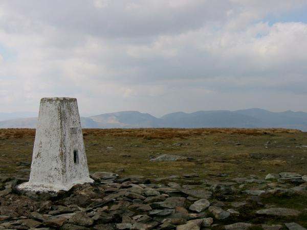
High Street trig point with Fairfield and the Helvellyn ridge in the distance
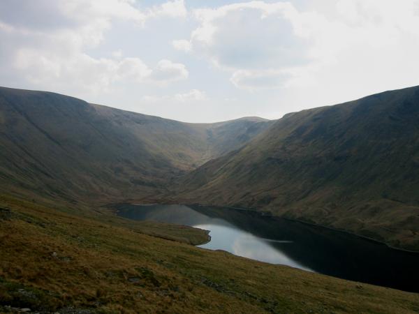
Harter Fell and Blea Water
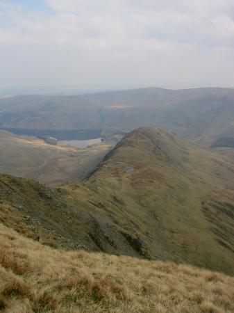
Rough Crag and Haweswater
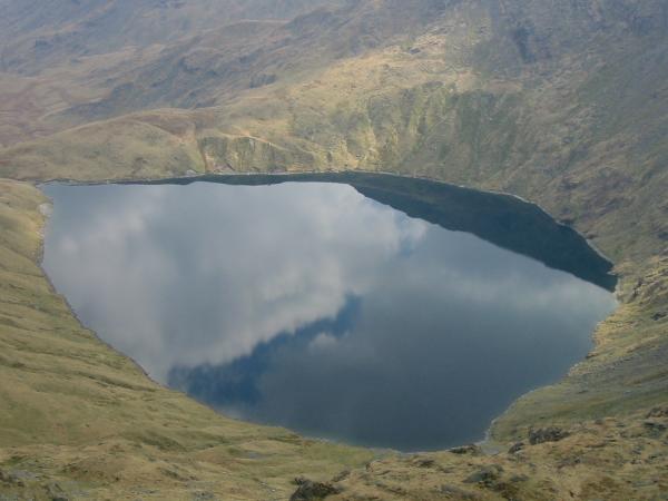
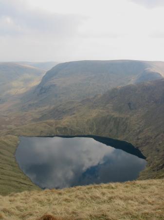
Blea Water
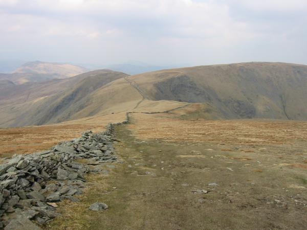
Straights of Riggindale
Riggindale
The Knott summit, looking towards Fairfield and Helvellyn
Rest Dodd and The Nab from The Knott
Hayeswater with Thornthwaite Crag to the right of centre on the skyline from the descent off The Knott
Previous Walk: Walla Crag (Fri 11 Apr 2003)
Next Walk: Heughscar Hill from Askham (Sun 13 Apr 2003)