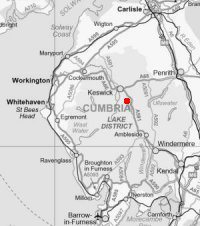
Fells around the foot of Thirlmere
Sat 4 Feb 2012
Route: Thirlmere Dam End - Raven Crag - Castle Crag Fort - The Benn - Shoulthwaite Gill - Smaithwaite - Bridge End Farm - Great How - Thirlmere Dam End
Distance: 6.25 miles
Ascent: 1,725ft
Time: 3 hours 10 minutes
With: On own
Notes:
Overcast, windy. The weather took a dive with reduced visibility and snow/sleet for the second half of the walk.
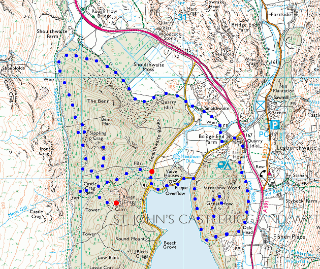
© Crown copyright. All rights reserved. Licence number AL100038401
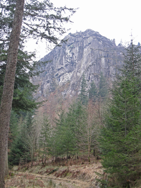
Raven Crag from below
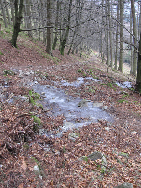
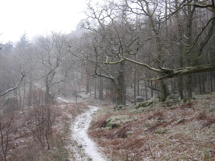
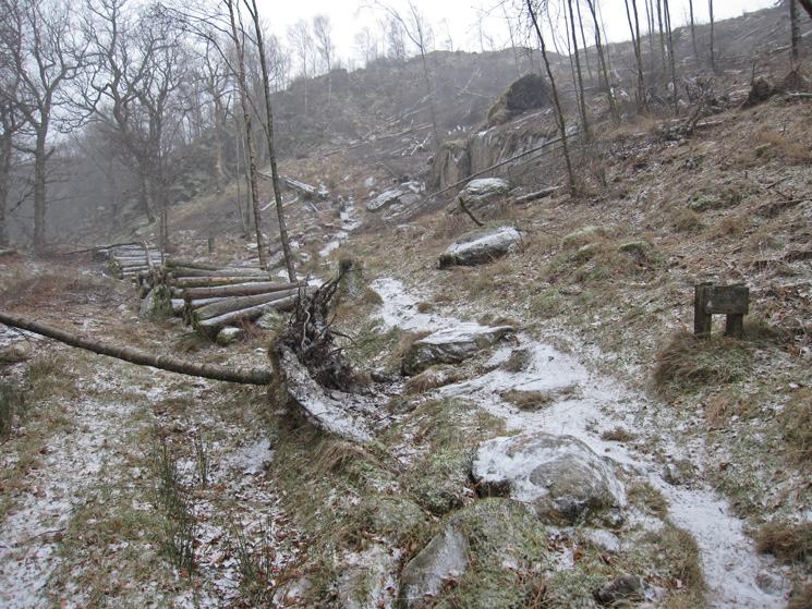
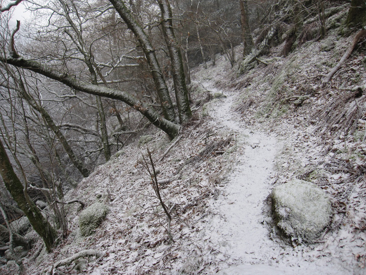
Looking back down the path up through the woods
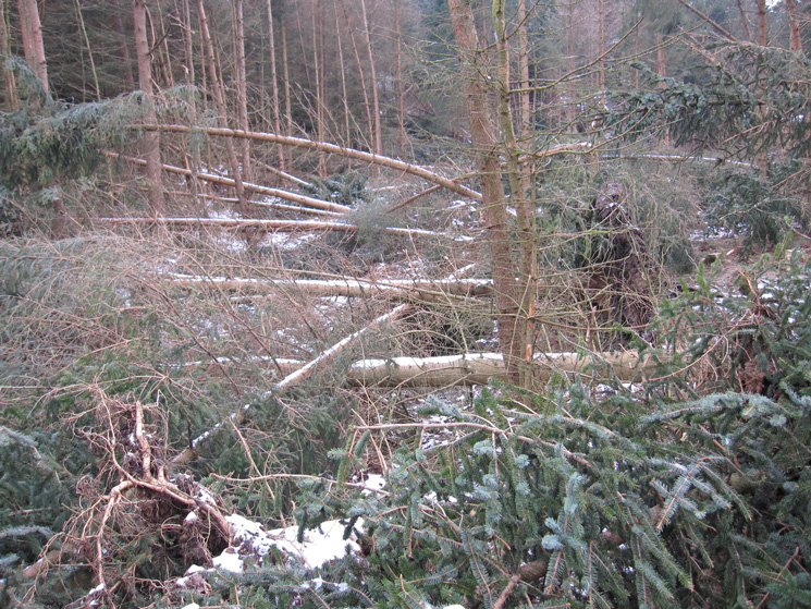
The Permissive Path to Raven Crag's summit is closed 'Due to Unsafe Trees'. Windblown to you and me. Guess I'll need to find a way round.
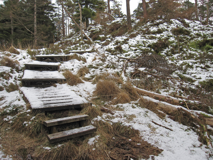
Back on the path above the windblown
Raven Crag's summit
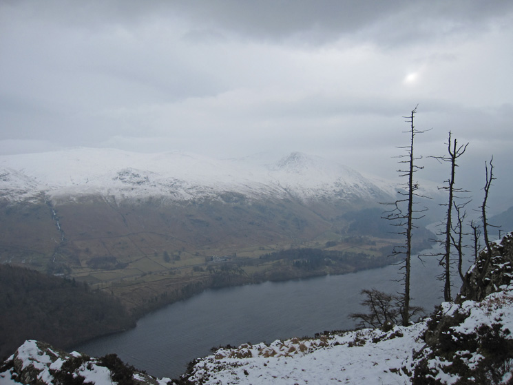
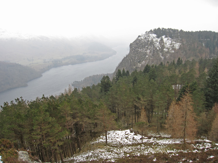
Over Thirlmere towards Helvellyn from Raven Crag's summit
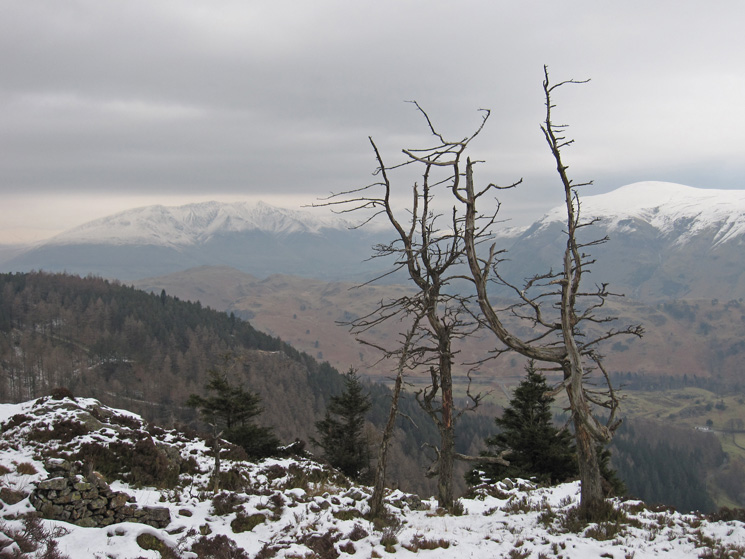
Blencathra (left) and Clough Head (right) from Raven Crag
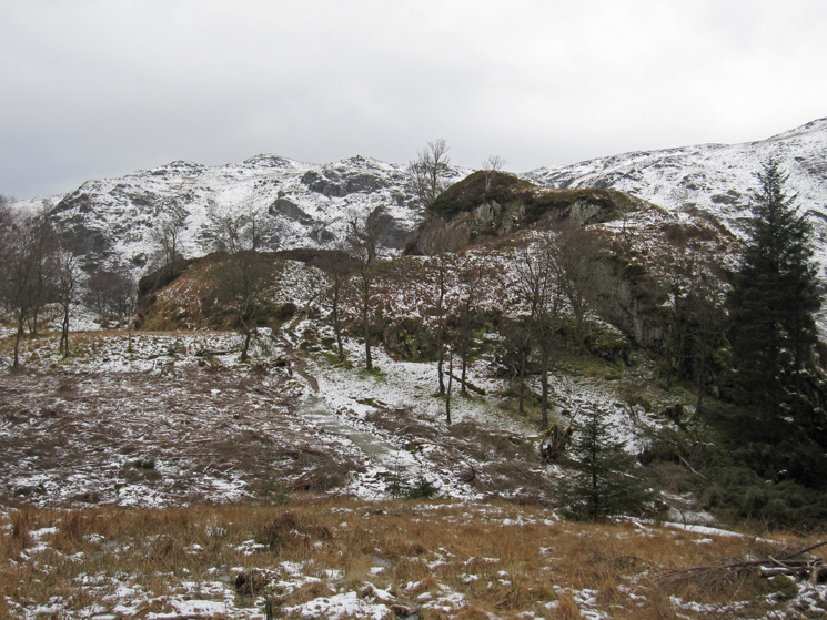
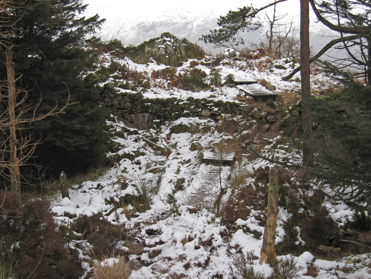
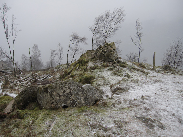
Castle Crag Fort
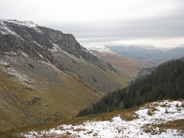
Shoulthwaite Gill from Castle Crag Fort
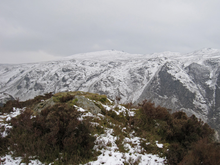
High Seat from The Benn's summit
Thirlmere and Raven Crag from The Benn's summit
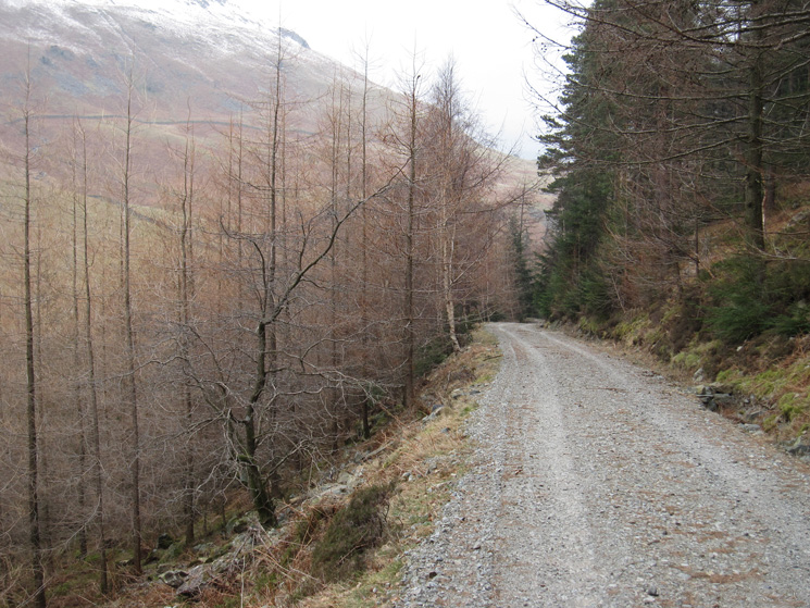
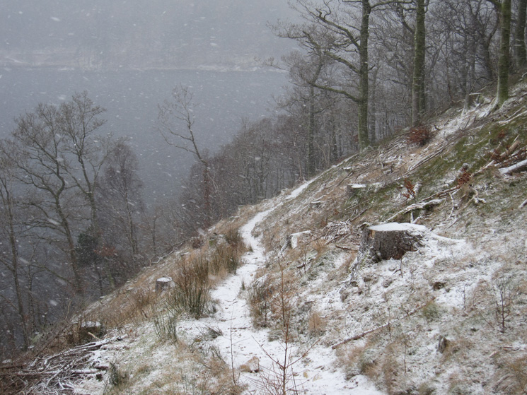
Forest track, Shoulthwaite Gill
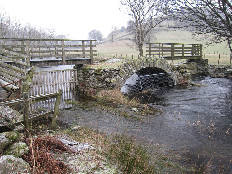
Old packhorse bridge across St John's Beck
Path up Great How
Right at this junction for the summit
Great How's old summit cairn. Tree felling now allows access to the true summit
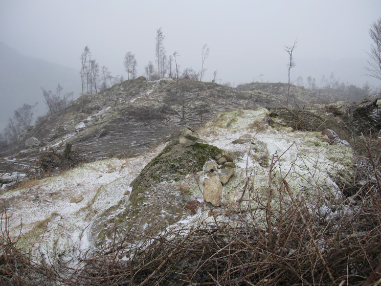
Looking back to the 'old' summit from the 'new', Great How
Round the bottom of Great How, above Thirlmere
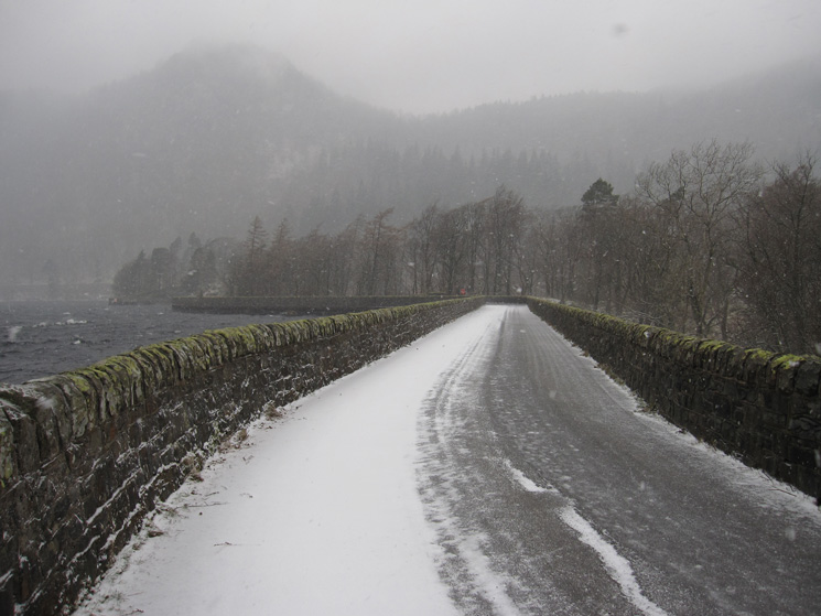
The path to the dam
Raven Crag can just be made out from Thirlmere's dam
Previous Walk: Stybarrow Dodd plus from Glenridding (Thu 2 Feb 2012)
Next Walk: Angletarn Pikes, Angle Tarn and Brock Crags from Patterdale (Sun 5 Feb 2012)