Rannerdale Knotts
Sat 18 Jan 2003
Route: Hause Point, Crummock Water - Rannerdale Knotts - Low Bank - Rannerdale - Hause Point
Distance: 2.50 miles
Ascent: 800ft
Time: 1 hour 20 minutes
With: Anne
Notes:
Windy, cloud base approx. 2,500ft, we managed to avoid the rain
© Crown copyright. All rights reserved. Licence number AL100038401
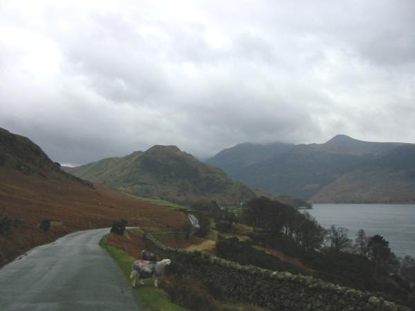
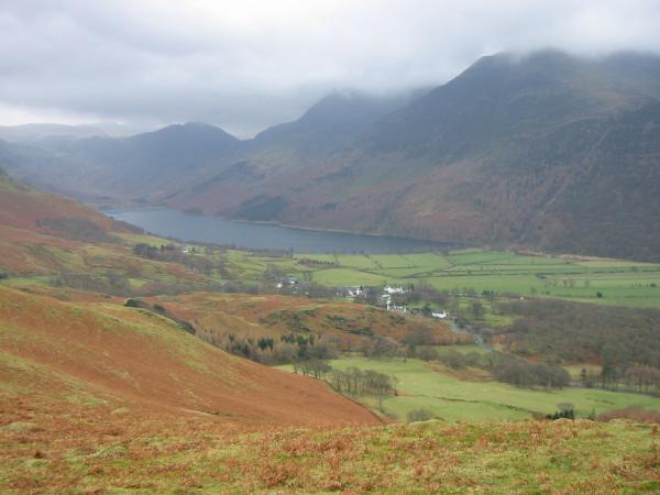
Rannerdale Knotts with Red Pike seen across Crummock Water
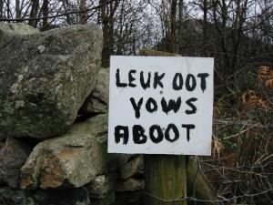
Warning sign for tourists
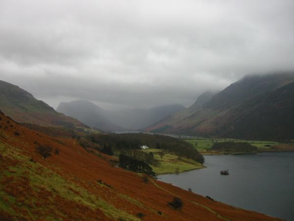
Wood House between Buttermere and Crummock Water
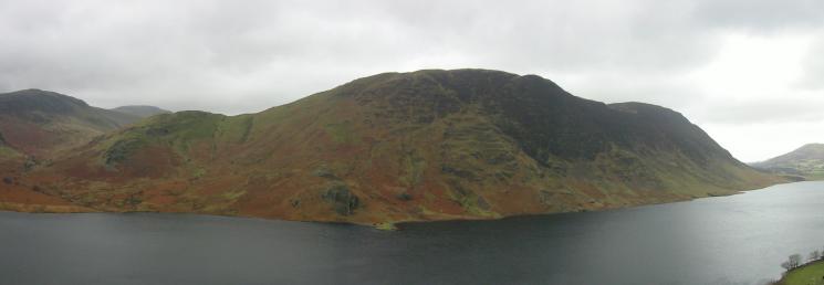
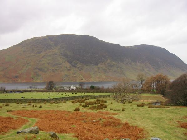
Mellbreak
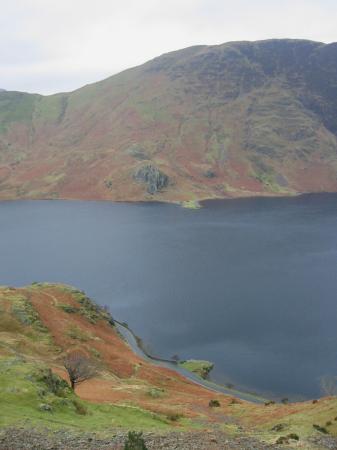
Looking across Crummock Water to High and Low Ling Crags
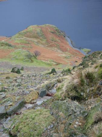
Looking back down on Hause Point
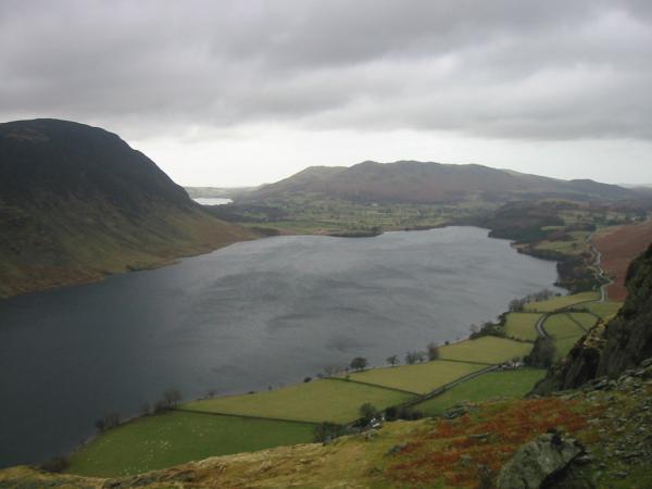
Crummock Water, Loweswater and Low Fell
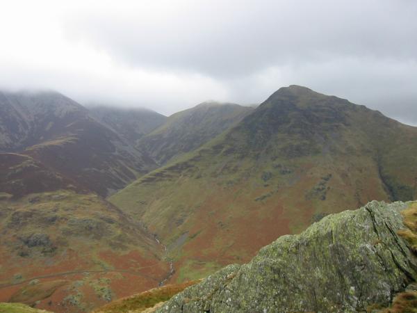
Whiteless Pike out of the cloud from near Rannerdale Knotts' summit
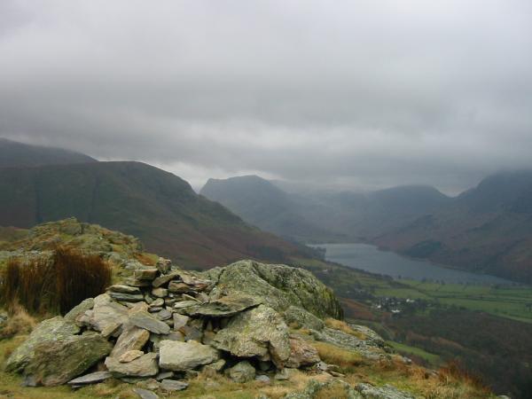
High Snockrigg, Honister Crag and Buttermere from Rannerdale Knotts summit

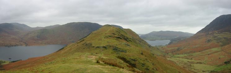
360 Panorama from Rannerdale Knotts' summit
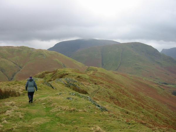
Heading along Low Bank with Robinson now almost out of the cloud
Buttermere village from Low Bank
Looking back towards Rannerdale Knotts summit
Rannerdale
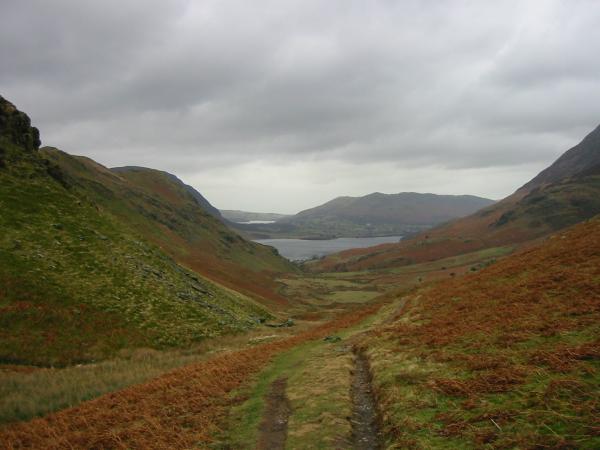
Looking down Rannerdale with Low Fell in the distance
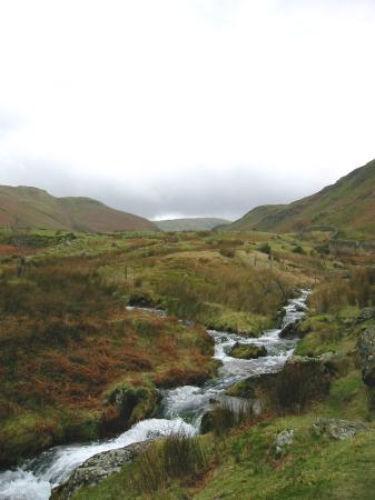
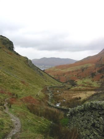
Looking back up Rannerdale
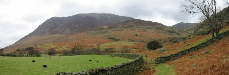
Rannerdale Farm and Mellbreak
Grasmoor
Previous Walk: Red Screes (Sat 11 Jan 2003)