Longside Edge and Skiddaw
Sat 21 Dec 2002
Route: High Side, nr Bassenthwaite village - Watches - The Edge - Ullock Pike - Long Side - Carl Side - Carlside Tarn - Skiddaw - Bakestall - Broad End - Barkbethdale - High Side
Distance: 8.50 miles
Ascent: 3,150ft
Time: 4 hours 45 minutes
With: Anne
Notes:
Overcast but cloud well above the tops, snow above 2,000ft

© Crown copyright. All rights reserved. Licence number AL100038401
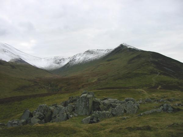
Longside Edge and Ullock Pike from Watches
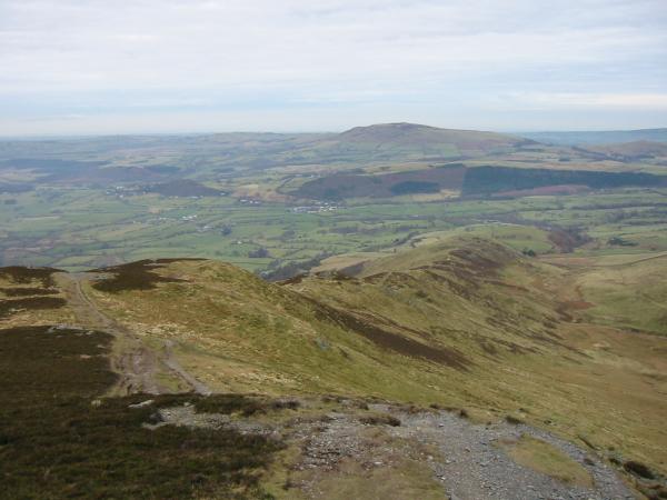
Looking northwards back down The Edge with Binsey in the distance

Long Side and Ullock Pike
Skiddaw, Little Man, Carl Side, Long Side and Ullock Pike

Derwent Water from Ullock Pike summit

360 Panorama from Ullock Pike's summit
Long Side and Derwent Water. The dark fell, near right, is Dodd
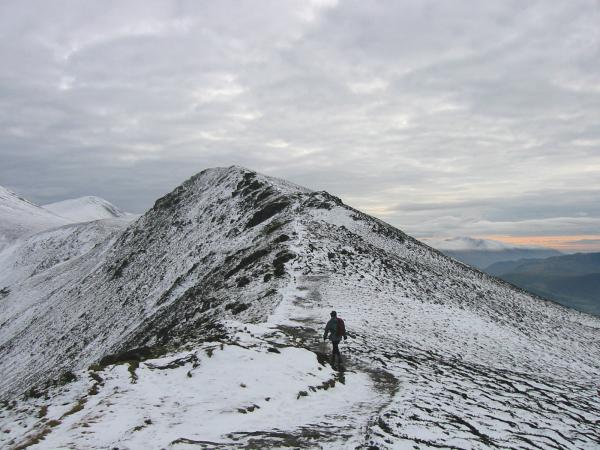
Heading for Long Side

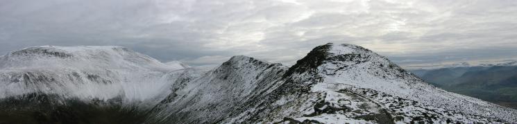
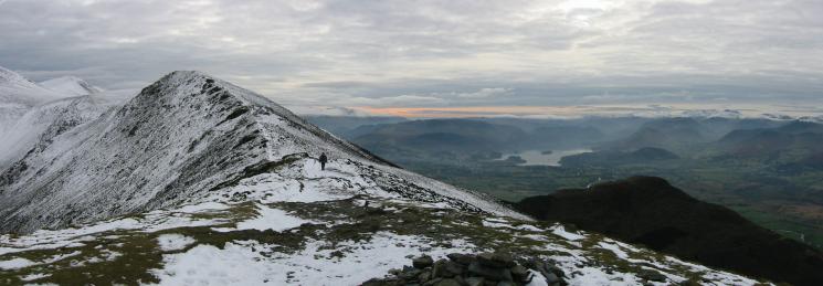
360 Panorama from Long Side's summit
The Northwestern fells from Long Side's summit
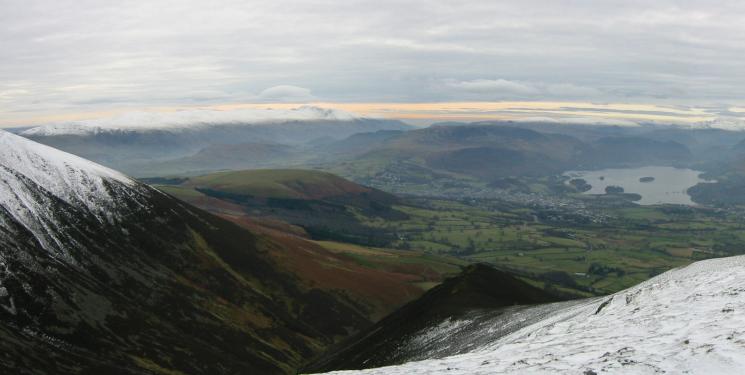
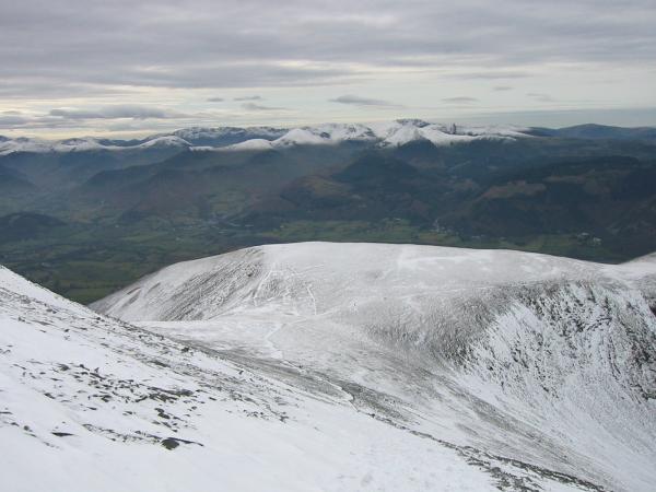
The Helvellyn ridge, Latrigg and Derwent Water from Carl Side
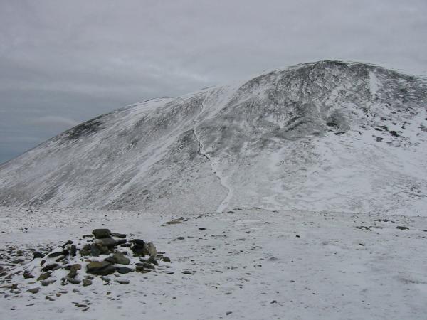
The path up Skiddaw from Carl Side's summit cairn
Looking back down on Carl Side from the route up Skiddaw

Ascending Skiddaw from Carl Side
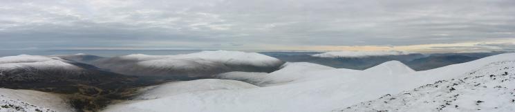
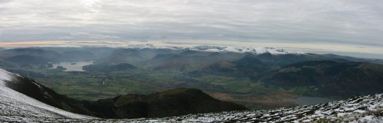
Southwesterly panorama from Skiddaw south's summit

Blencathra from Skiddaw's summit

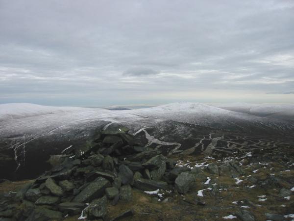
360 Panorama from Skiddaw's summit

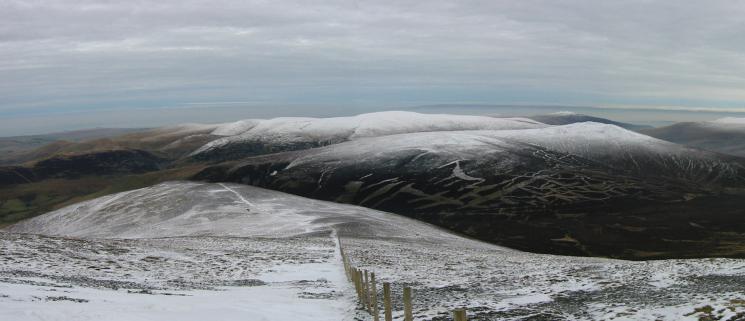
Looking back to Skiddaw on the right. The Helvellyn ridge can be seen centre left over Lonscale Fell
Looking down on Bakestall
Knott and Great Calva from AW's summit cairn on Bakestall

360 Panorama from Bakestall's summit
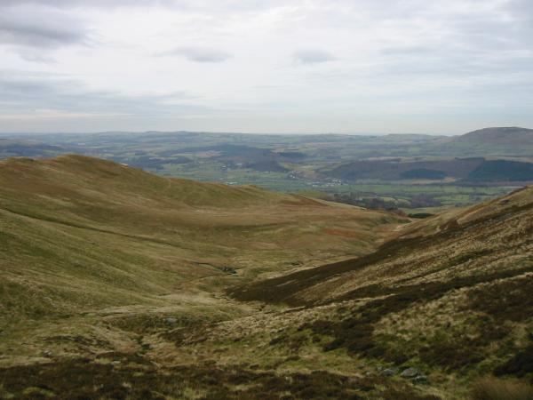
Barkbethdale
Previous Walk: Mellbreak (Sun 15 Dec 2002)
Next Walk: Catbells (Wed 25 Dec 2002)