Catbells
Wed 25 Dec 2002
Route: Hawes End - Skelgill Bank - Catbells - Hause Gate - Manesty - Derwent Water - High Brandelhow - Low Brandelhow - Hawes End
Distance: 5.00 miles
Ascent: 1,250ft
Time: 2 hours 30 minutes
With: Anne
Notes:
Mild, rain showers
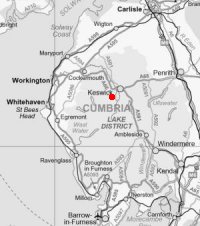
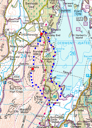
© Crown copyright. All rights reserved. Licence number AL100038401
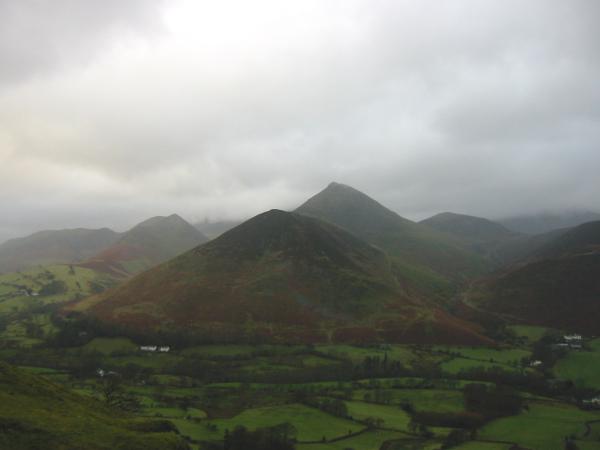
Rowling End and Causey Pike from Catbells north ridge, with Ard Crags on the left and Outerside on the right
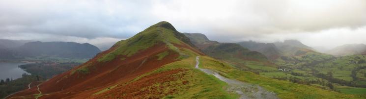
Catbells with Maiden Moor behind
Newlands
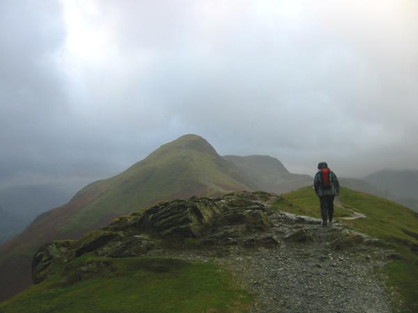
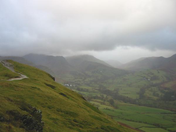
Catbells from its north ridge (Skelgill Bank)
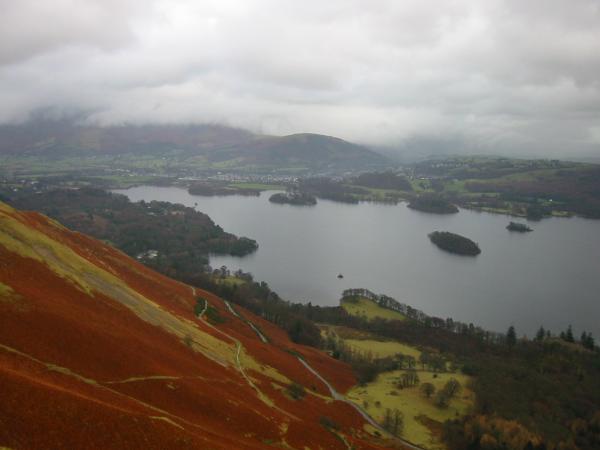
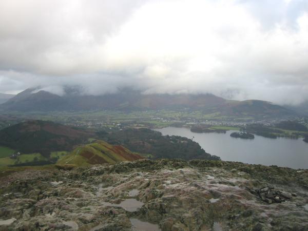
Looking down on Derwent Water from Catbells
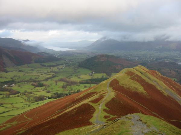
Bassenthwaite Lake and Swinside from Catbells north ridge
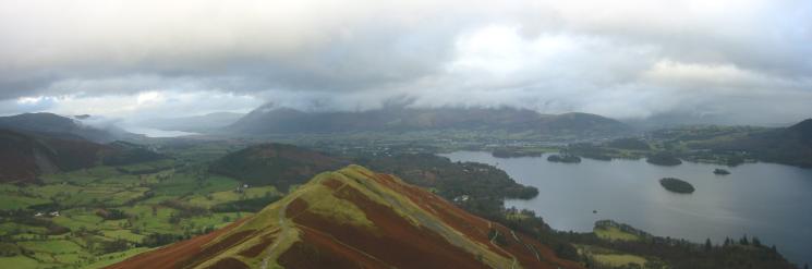
Northerly panorama from Catbells north ridge
Skiddaw hidden in cloud from Catbells summit

360 Panorama from Catbells summit
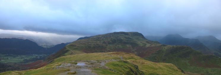
Maiden Moor from Catbells
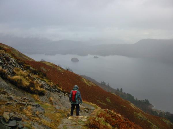
Descending from Hause Gate
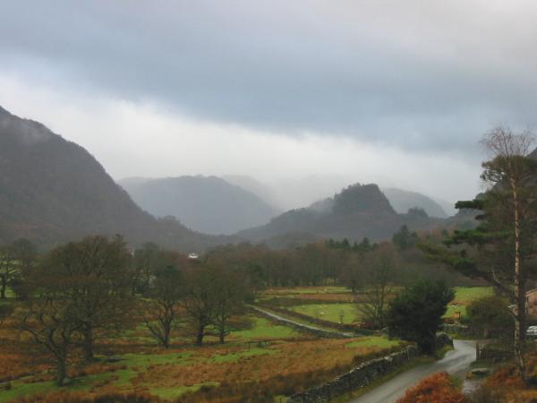
Castle Crag, Borrowdale from Manesty
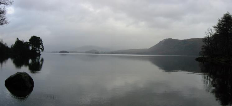
Walla Crag from Abbot's Bay, Derwent Water
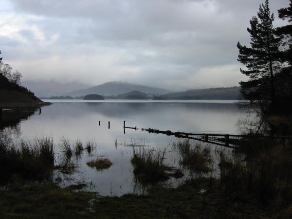
Brandelhow Bay, Derwent Water
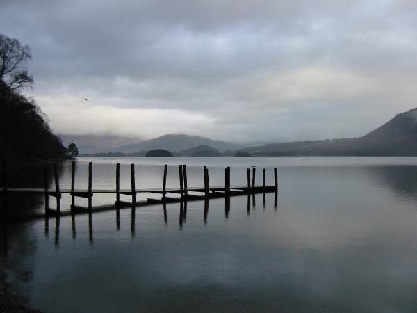
Brandelhow Landing Stage, Derwent Water
Previous Walk: Longside Edge and Skiddaw (Sat 21 Dec 2002)
Next Walk: Saint Sunday Crag (Sat 28 Dec 2002)