Loweswater Fells
Sun 20 Oct 2002
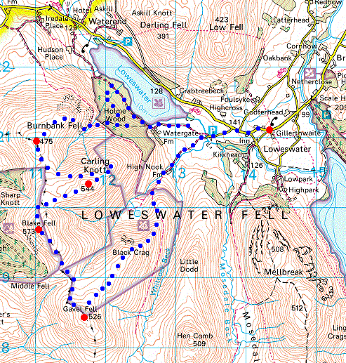
Route: Loweswater Village - Maggie's Bridge - High Nook Farm - Gavel Fell - Blake Fell - Carling Knott - Burnbank Fell - Holme Wood - Loweswater - Maggie's Bridge - Loweswater Village
Distance: 9.00 miles
Ascent: 2,100ft
Time: 5 hours 10 minutes
With: Anne and Roger & Ann Hiley
Notes:
Overcast, bitterly cold wind
© Crown copyright. All rights reserved. Licence number AL100038401
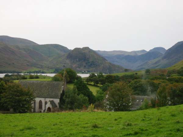
Looking over Loweswater church to Rannerdale Knotts
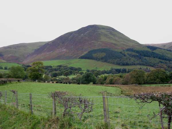
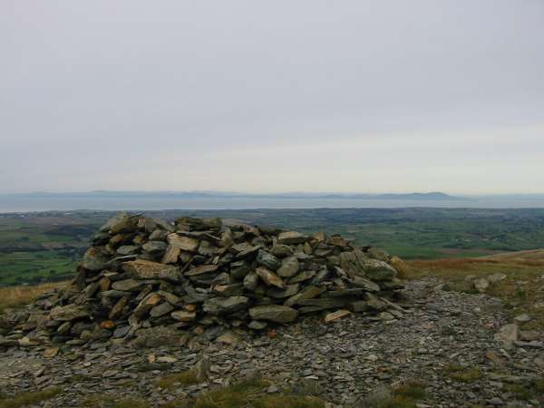
Carling Knott
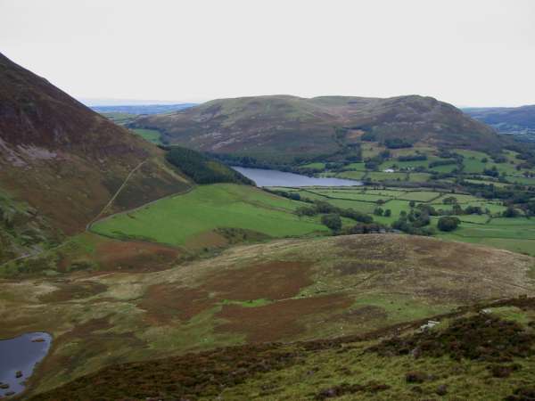
Darling Fell and Low Fell from above High Nook Farm on Gavel Fell's northeast ridge
Mellbreak and Hen Comb from Gavel Fell's northeast ridge
Honister Crag/Fleetwith Pike, the High Stile Ridge and Pillar from Gavel Fell summit

360 Panorama from Gavel Fell's summit
Blake Fell and Carling Knott
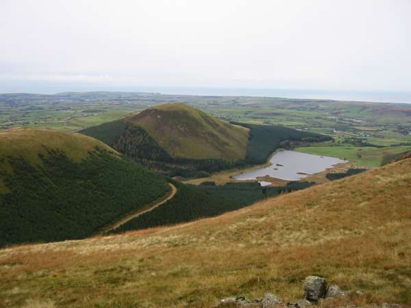
Knock Murton and Cogra Moss
Criffel (right of centre) in Scotland across the Solway Firth from Blake Fell summit
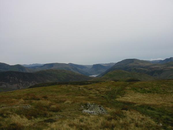
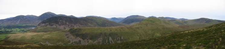
The Buttermere Fells from Blake Fell summit

360 Panorama from Blake Fell's summit
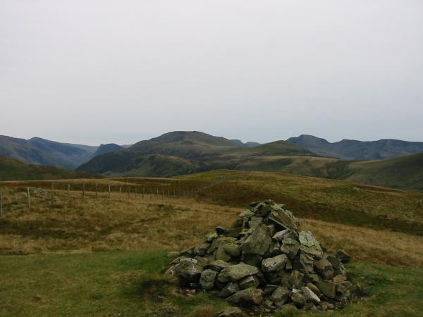
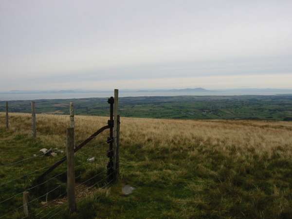
Skiddaw and the northwest fells from Carling Knott summit

360 Panorama from Carling Knott's summit
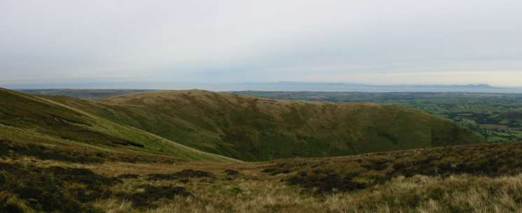
Panorama from the northeast end of Carling Knott
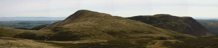
Burnbank Fell from Carling Knott
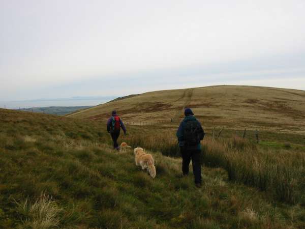
Heading for Burnbank Fell
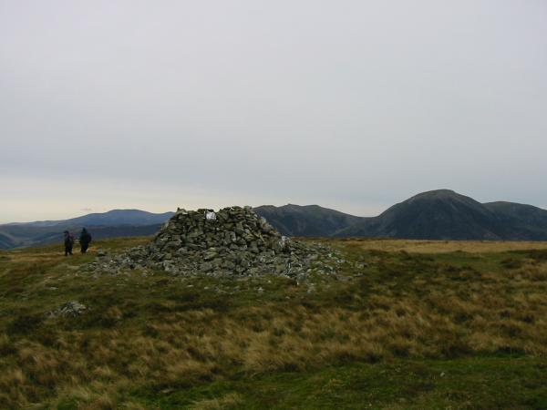
Burnbank Fell summit

360 Panorama from Burnbank Fell's summit
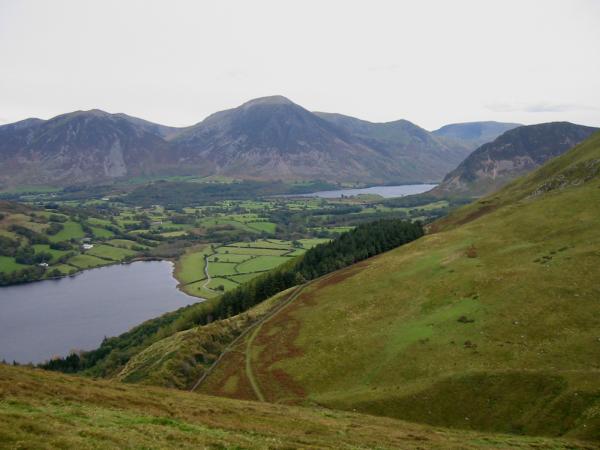
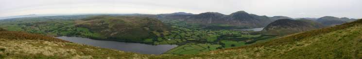
Loweswater and Crummock Water
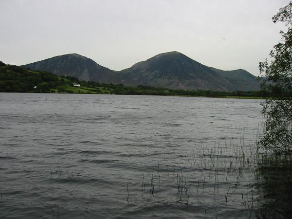
A grey day. Whiteside and Grasmoor seen across Loweswater
Previous Walk: High Seat plus (Sat 19 Oct 2002)
Next Walk: Circuit from Hartsop (Sat 26 Oct 2002)