Circuit from Hartsop
Sat 26 Oct 2002
Route: Hartsop - Brock Crags - Satura Crag - The Nab - Rest Dodd - The Knott - Hayeswater - Hartsop
Distance: 7.25 miles
Ascent: 2,900ft
Time: 3 hours 50 minutes
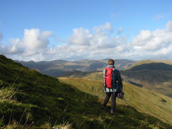
With: Anne
Notes:
Sunshine and blue sky to start but it clouded over. Windy at times
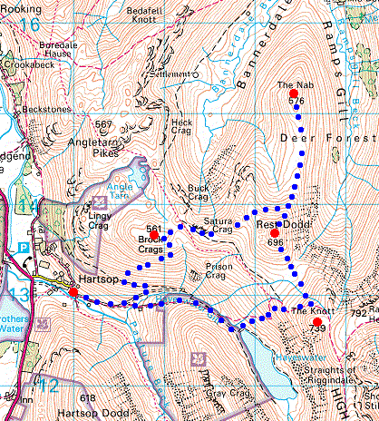
© Crown copyright. All rights reserved. Licence number AL100038401
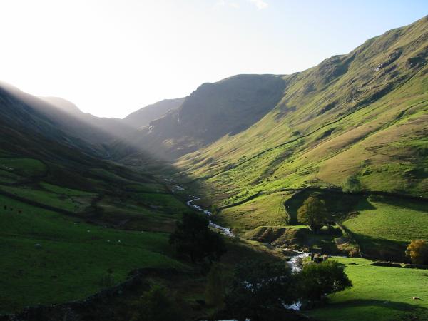
Pasture Bottom
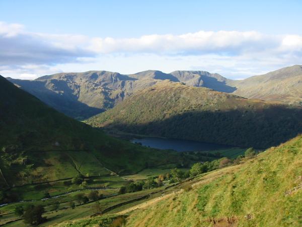
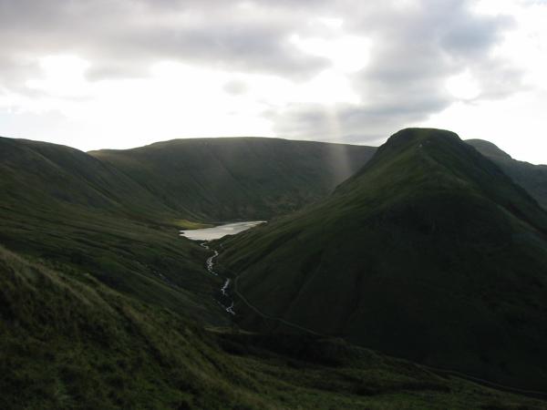
Looking back down on Brothers Water with the wooded Hartsop Above How ridge and Fairfield behind
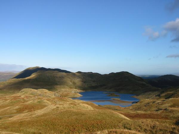
Hayeswater with High Street behind and Gray Crag on the right
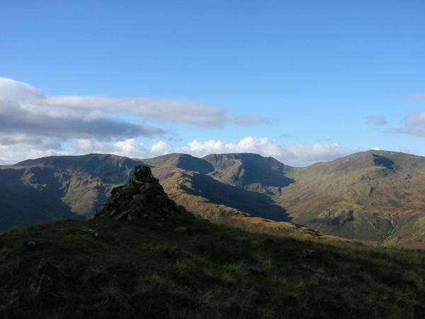
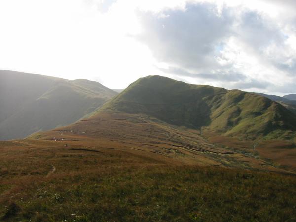
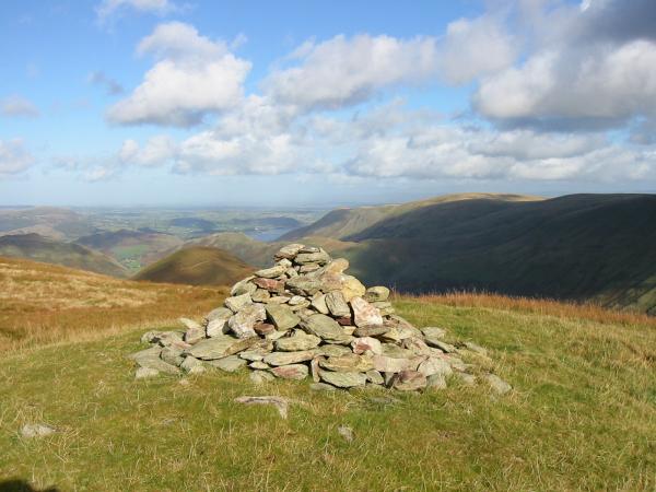
Fairfield from Brock Crags summit

360 Panorama from Brock Crags summit
Place Fell and Angle Tarn
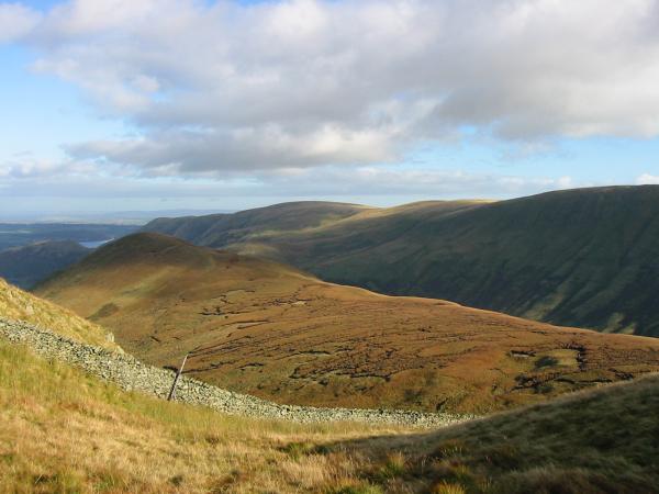
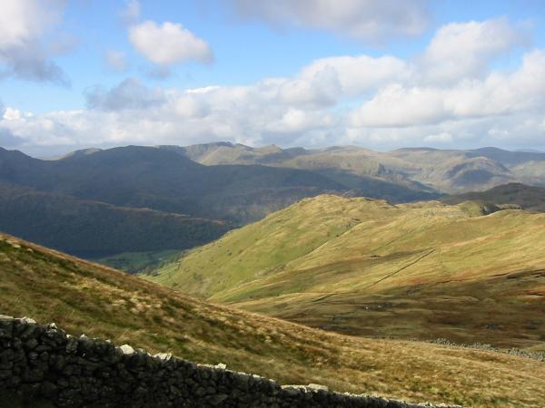
Looking over Satura Crag to the Helvellyn range
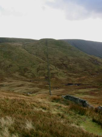
The Nab and the peat hags to get there
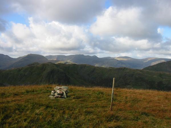
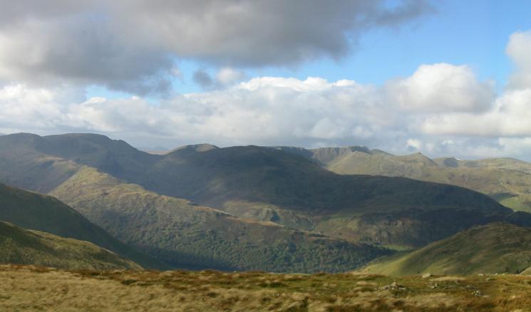
The Helvellyn range from The Nab's summit

360 Panorama from The Nab's summit
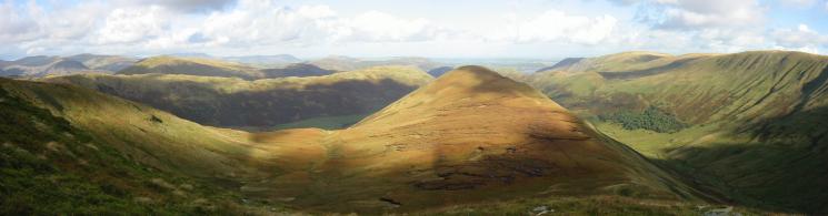
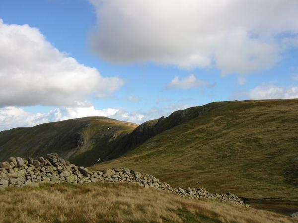
Rest Dodd from The Nab
Northerly panorama from the climb up Rest Dodd
Catstycam and the Dodds from the climb up Rest Dodd
Looking north from Rest Dodd's summit

360 Panorama from Rest Dodd's summit
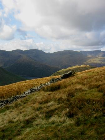
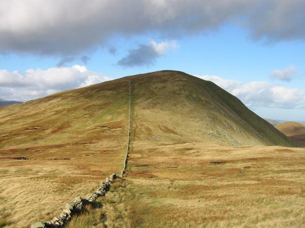
The Knott from Rest Dodd, just follow the wall
Great Gable, 14 miles away, can just be seen above Deepdale Hause (from Rest Dodd)
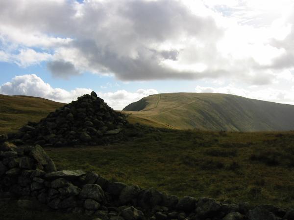
Looking back to Rest Dodd from the climb up The Knott
The Straits of Riggindale and High Street from The Knott's summit
High Raise, Martindale and Rampsgill Head from The Knott

360 Panorama from The Knott's summit
Fairfield, Saint Sunday Crag, Helvellyn and Catstycam from The Knott
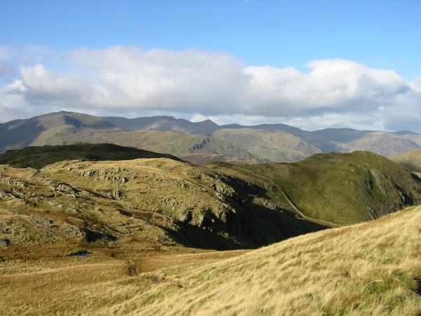
Looking over Brock Crags to the Helvellyn Range from descent off The Knott
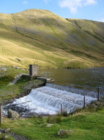
The Knott from Hayeswater weir
Previous Walk: Loweswater Fells (Sun 20 Oct 2002)
Next Walk: Lord's Seat Circuit (Sat 2 Nov 2002)