Loughrigg from Silverthwaite
Sat 12 Oct 2002
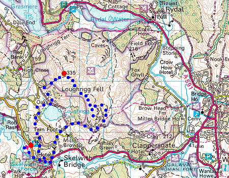
Route: Silverthwaite - Skelwith Force - Loughrigg Tarn - Loughrigg Fell - Ivy Crag - Tarn Foot - Skelwith Bridge - Skelwith Force - Silverthwaite
Distance: 4.00 miles
Ascent: 1,100ft
Time: 2 hours 30 minutes
With: Anne
Notes:
Sunshine and showers
© Crown copyright. All rights reserved. Licence number AL100038401
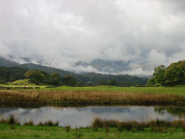
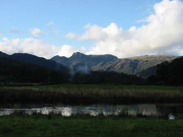
The Langdale Pikes breaking out of the cloud from the River Brathay
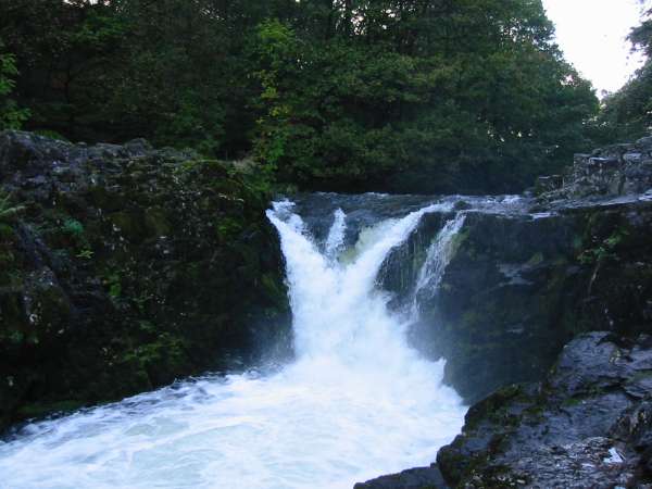
Skelwith Force
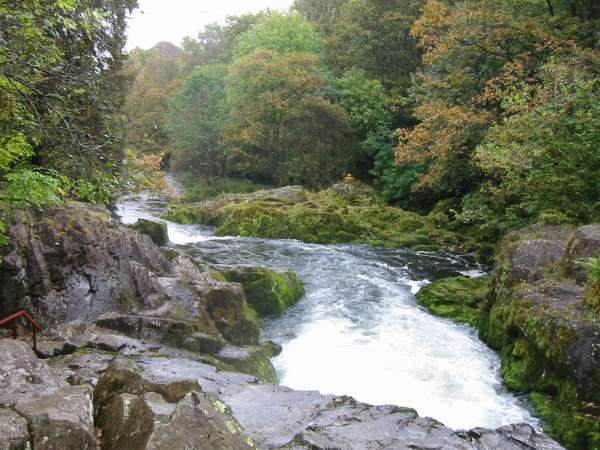
The River Brathay below Skelwith Force
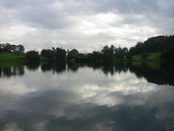
Loughrigg Tarn
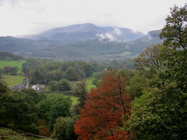
Wetherlam and Elter Water from the climb up Loughrigg Fell
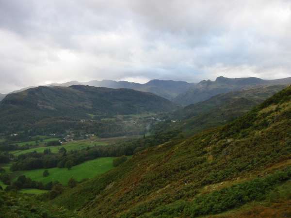
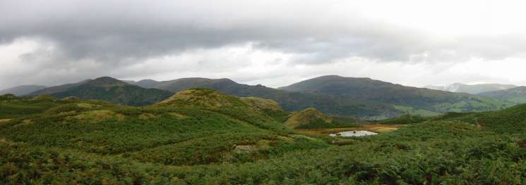
Lingmoor Fell with Pike O' Blisco, Crinkle Crags and Bowfell and the Langdale Pikes on the skyline
Looking towards the Langdale Pikes from Loughrigg Fell summit
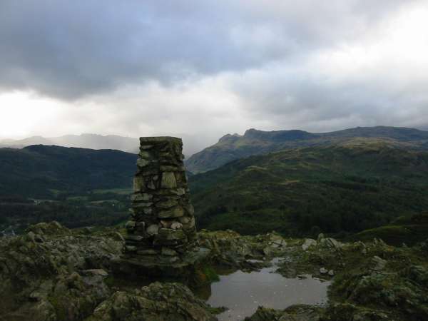
Grasmere from Loughrigg Fell's summit
The Nab Scar - Heron Pike - Great Rigg ridge, the Dove Crag - High Pike - Low Pike ridge, Red Screes, Ill Bell ridge
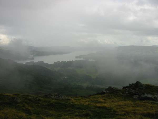
Windermere through the cloud from Ivy Crag
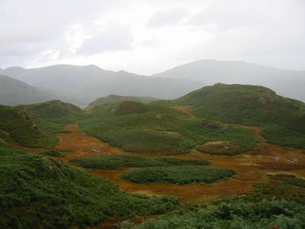
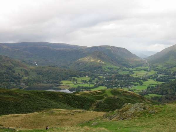
Marshland on Loughrigg Fell with the High Pike - Low Pike ridge and Red Screes in the distance

Bowfell and the Langdale Pikes
The Langdale Pikes now in sunshine from the River Brathay
Previous Walk: Back o' Skidda fells (Sun 6 Oct 2002)
Next Walk: Buttermere Trio (Sun 13 Oct 2002)