Buttermere Trio
Sun 13 Oct 2002
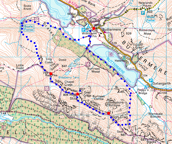
Route: Buttermere Village - Scale Force - Lingcomb Edge - Red Pike - High Stile - High Crag - Gamlin End - Buttermere - Buttermere Village
Distance: 9.00 miles
Ascent: 2,630ft
Time: 5 hours 15 minutes
With: Anne
Notes:
Overcast, cold in the wind on the tops
© Crown copyright. All rights reserved. Licence number AL100038401
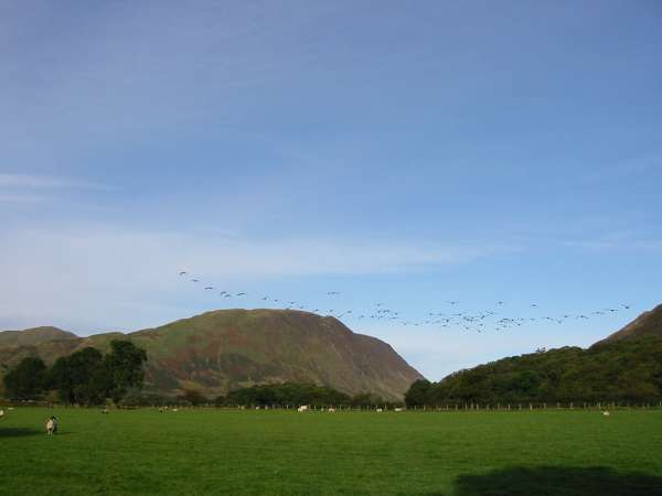
Geese flying towards Mellbreak
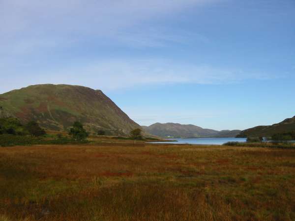
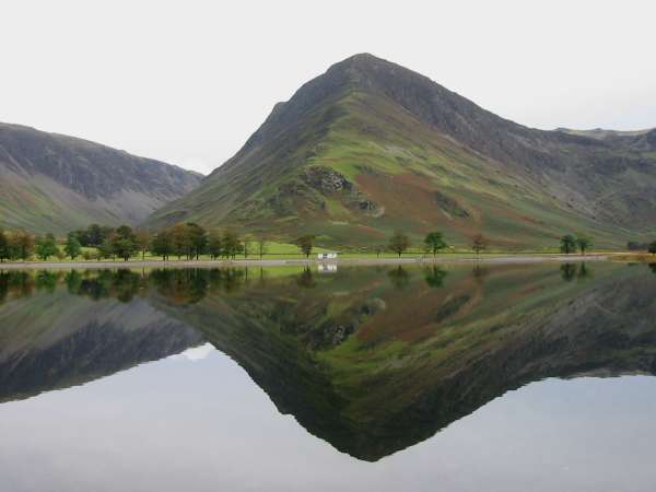
Mellbreak and Crummock Water
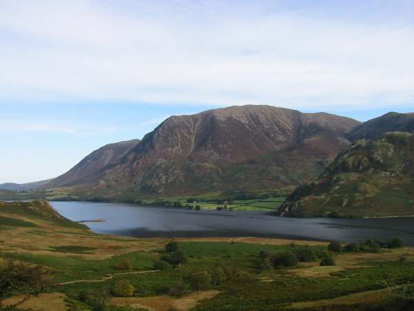
Looking across Crummock Water to Grasmoor
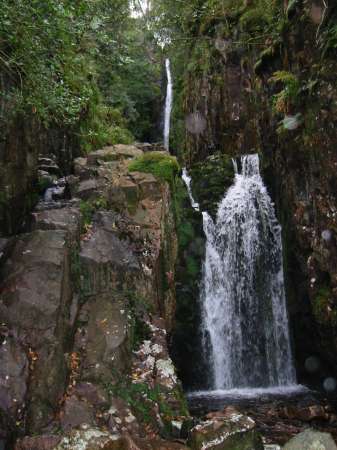
Scale Force. The upper fall in the photo is the main one
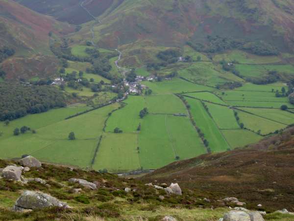
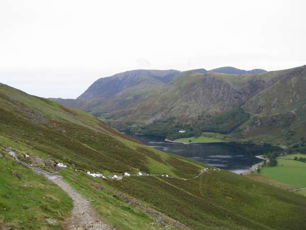
Looking down on Buttermere village
The view back down Lingcomb Edge to the Loweswater Fells with Scotland in the distance
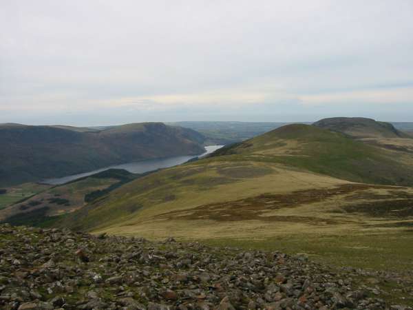
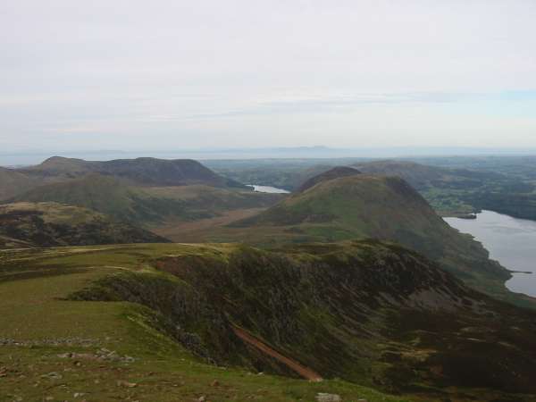
Ennerdale Water and the ridge to Starling Dodd and Great Borne
The Loweswater Fells and Grasmoor from near Red Pike's summit. Blencathra can be seen in the distance (top right)
High Stile from Red Pike's summit

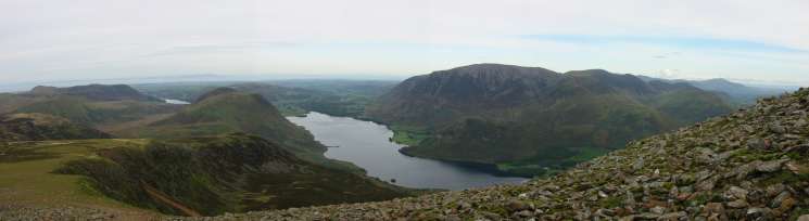
360 Panorama from Red Pike's summit
Red Pike, Dodd and Bleaberry Tarn
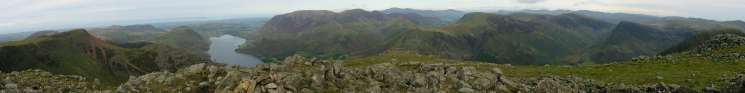
Panorama from the top of High Stile's north east ridge
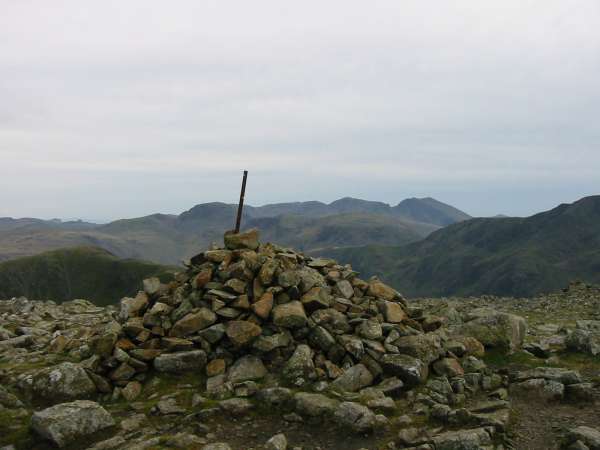
Great Gable and the Scafells from High Stile's summit

360 Panorama from High Stile's summit
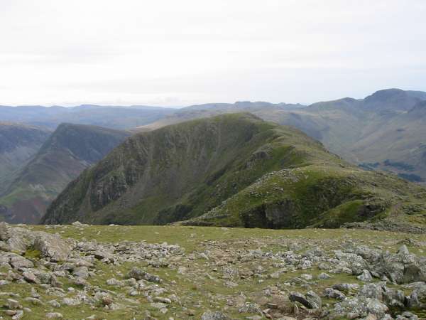
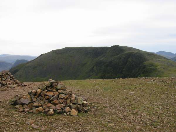
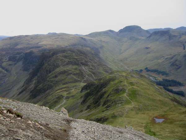
High Crag from High Stile
Looking across Ennerdale to Pillar
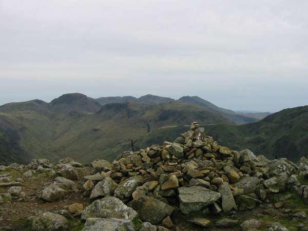
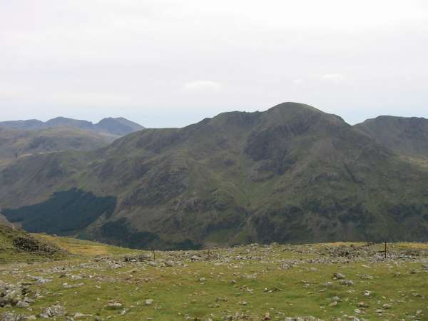
Great Gable and Kirk Fell with the Scafells behind from High Crag summit

360 Panorama from High Crag's summit
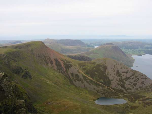
Looking down on Haystacks and Seat from Gamlin End
The Scath Gap Pass footpath down into the Buttermere valley, under repair
Fleetwith Pike
Previous Walk: Loughrigg from Silverthwaite (Sat 12 Oct 2002)
Next Walk: High Seat plus (Sat 19 Oct 2002)