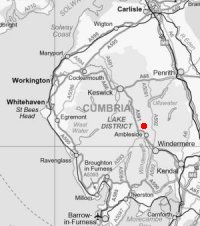
Fairfield Horseshoe
Sun 7 Jul 2002
Route: Ambleside - Nook Lane - Low Sweden Bridge - Low Pike - High Pike - Dove Crag - Hart Crag - Link Hause - Fairfield - Great Rigg - Erne Crag top - Heron Pike - Nab Scar - Rydal Park - Ambleside
Distance: 12.00 miles
Ascent: 3,440ft
Time: 5 hours 10 minutes
With: On Own
Notes:
Dry, high cloud, sunny
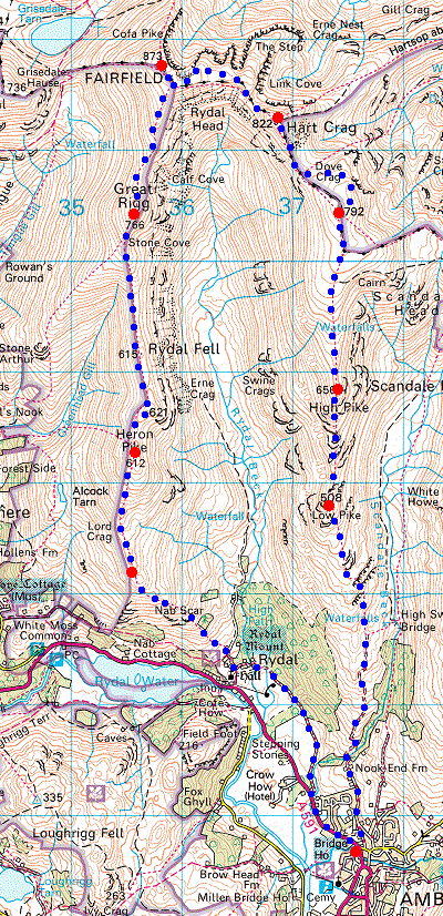
© Crown copyright. All rights reserved. Licence number AL100038401
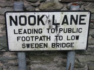
The start of the Fairfield Horseshoe, Nook Lane, Ambleside
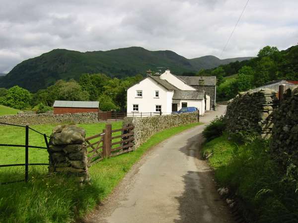
Nook End Farm and the west arm of the Fairfield Horseshoe (Nab Scar, the double top of Heron Pike and Great Rigg)
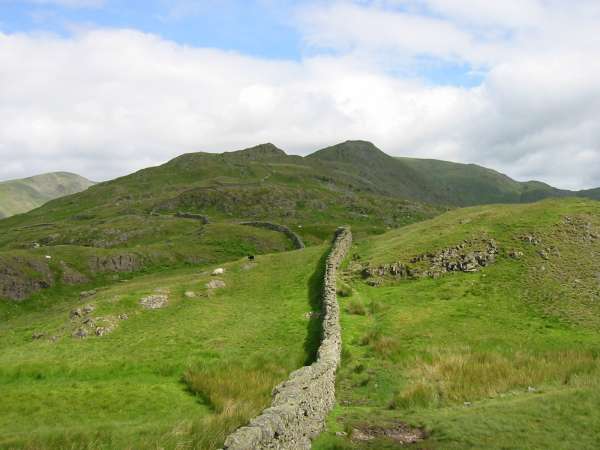
Low Pike and High Pike from low down the ridge
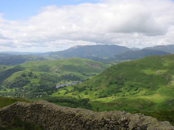
View south west from near Low Pike summit
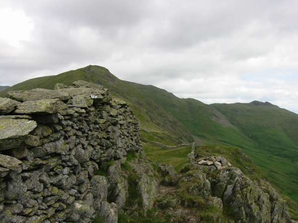
High Pike and Little Hart Crag from Low Pike summit
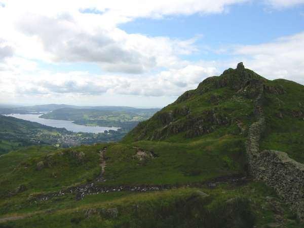
Windermere and near Low Pike summit
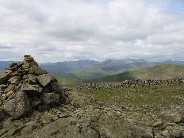
Westwards to the high fells from Dove Crag summit

360 Panorama from High Pike's summit

360 Panorama from Dove Crag's summit
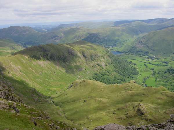
The Far Eastern Fells, Hartsop above How, Brothers Water and Dovedale from Dove Crag
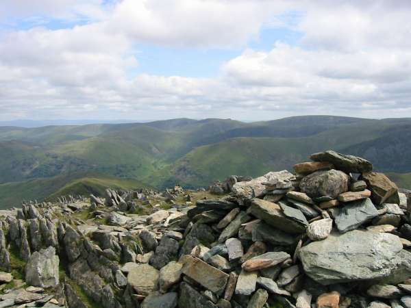
The Far Eastern Fells from Hart Crag's summit (southeast and higher cairn)
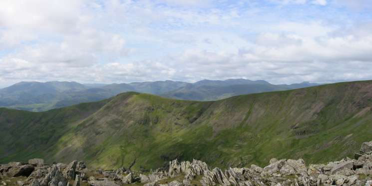
Looking west over Great Rigg to the high fells from Hart Crag's northwestern summit cairn
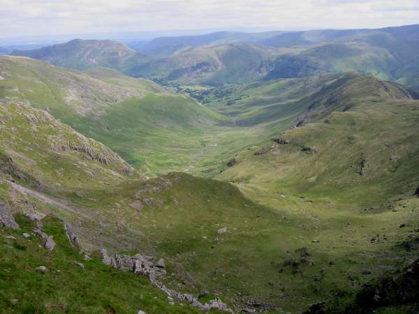
Deepdale from Link Hause
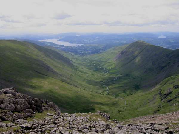
Rydal Beck and Windermere
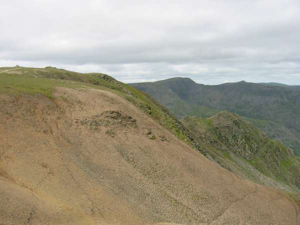
Fairfield's summit and Cofa Pike with Helvellyn and the point of Catstycam above Striding Edge in the distance

Northerly Panorama from Fairfield's summit
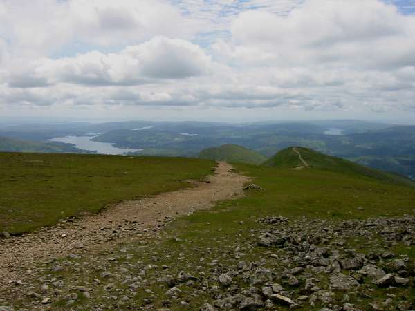
The motorway to Great Rigg from Fairfield

Looking back to Dollywaggon Pike and Fairfield from near Great Rigg's summit
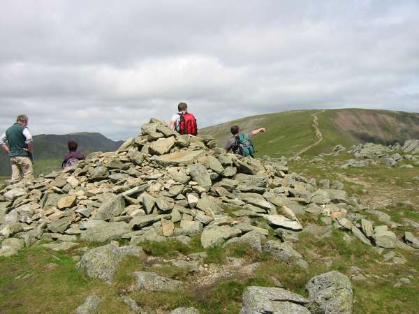
Fairfield from Great Rigg's summit cairn

360 Panorama from Great Rigg's summit
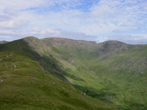
Great Rigg, Fairfield and Hart Crag surrounding Rydal Head from Heron Pike
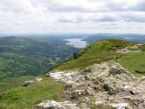
Windermere from Heron Pike summit

360 Panorama from Heron Pike's summit
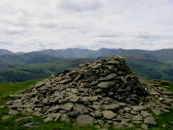
The Langdale Fells from Nab Scar's summit cairn
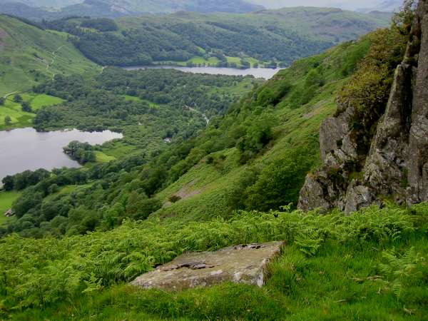
Rydal Water and Grasmere from the yard square stone block on Nab Scar marking the Thirlmere aqueduct vertically below
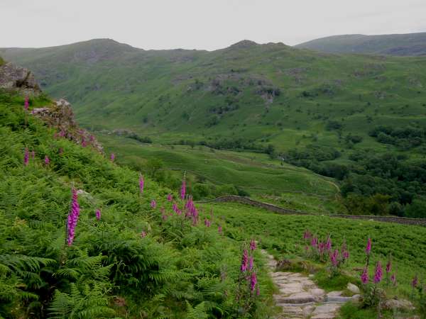
High Pike and Low Pike from the descent to Rydal from Nab Scar
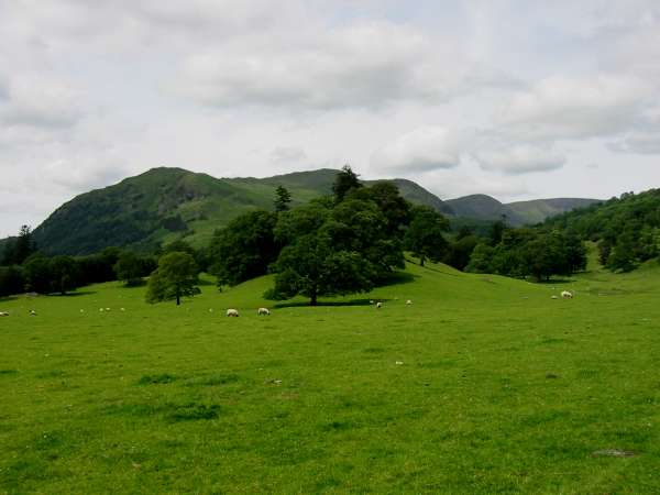
Nab Scar, the double top of Heron Pike, Great Rigg and the flat top of Fairfield from Rydal Park
Previous Walk: Hobcarton Skyline (Sat 6 Jul 2002)
