The Greenburn Round
Sat 29 Jun 2002
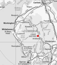
Route: Grasmere Village - Underhelm - Steel Fell - Steel Fell Tarn - Calf Crag - Gibson Knott - Helm Crag - Grasmere Village
Distance: 8.50 miles
Ascent: 2,370ft
Time: 3 hours 40 minutes
With: Anne
Notes:
Cloud base approx. 2,000ft, light drizzle in the air at times
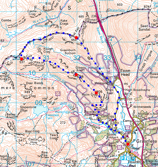
© Crown copyright. All rights reserved. Licence number AL100038401
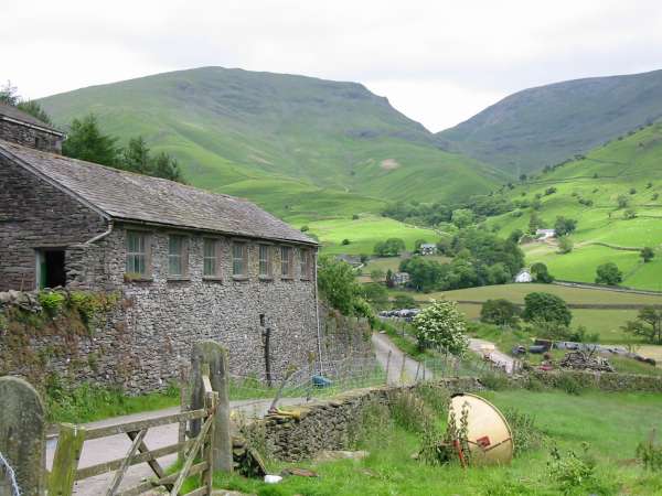
Seat Sandal from Underhelm
Steel Fell's southeast ridge, our line of ascent
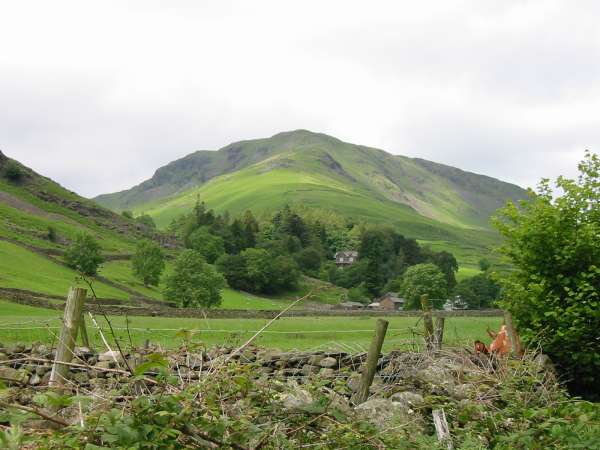
Helm Crag from low down Steel Fell's southeast ridge
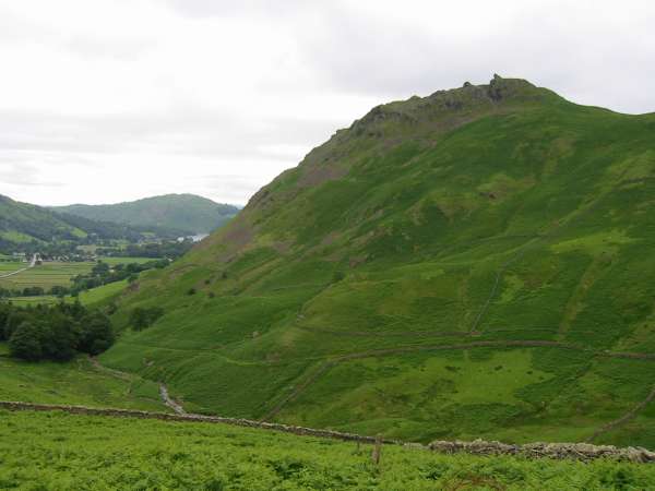
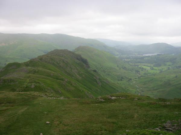
The main road (A591) and Helm Crag from higher up the ridge, Steel Fell
The main road (A591) and Helm Crag from Steel Fell
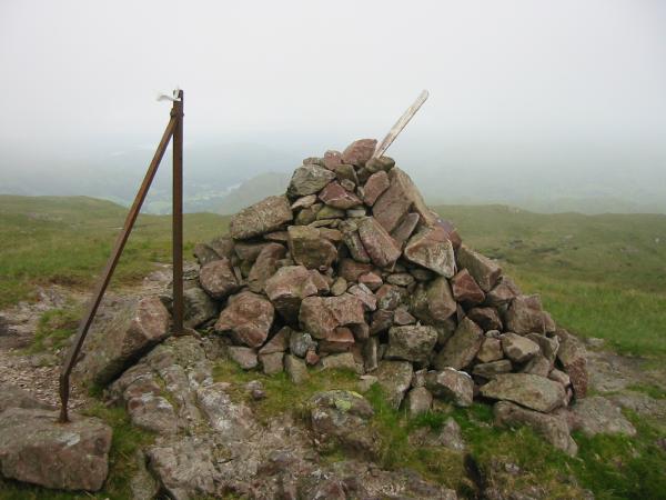
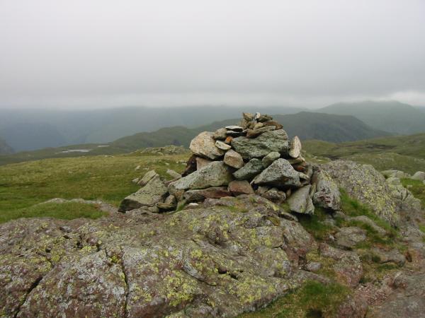
Steel Fell's summit cairn
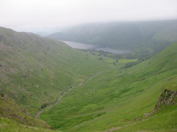
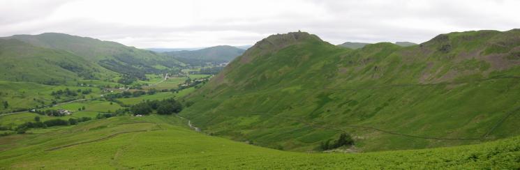
Wythburn valley and Thirlmere
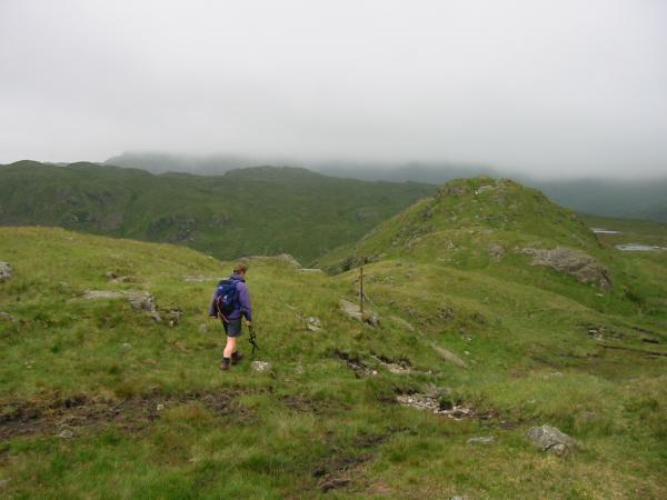
Heading towards Calf Crag (seen centre visible skyline) from Steel Fell
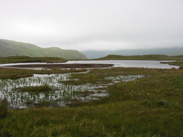
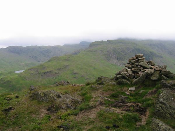
The large tarn on the ridge, Steel Fell
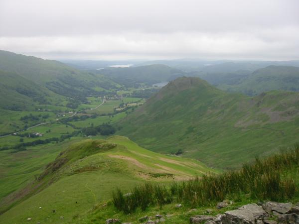
Steel Fell and Seat Sandal, far right with its top in cloud from Calf Crag summit
The Gibson Knott - Helm Crag ridge and Far Easedale
Easedale Tarn and Tarn Crag from Gibson Knott's summit
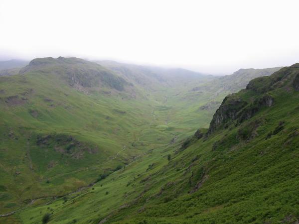
Far Easedale
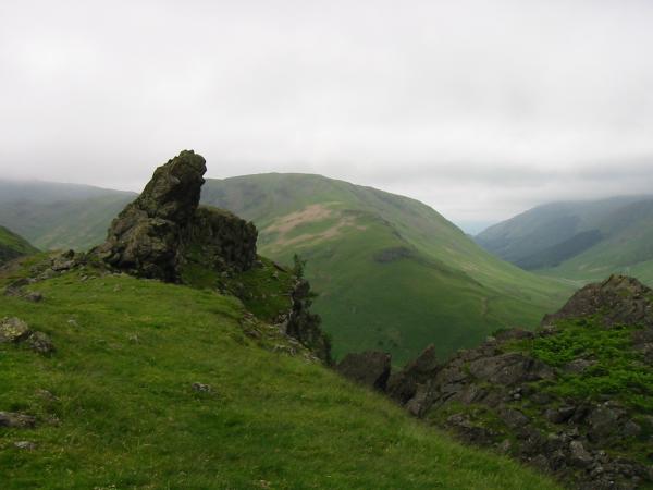
Helm Crag from its ridge with Gibson Knott
Looking back at Far Easedale and Gibson Knott
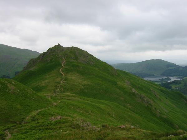
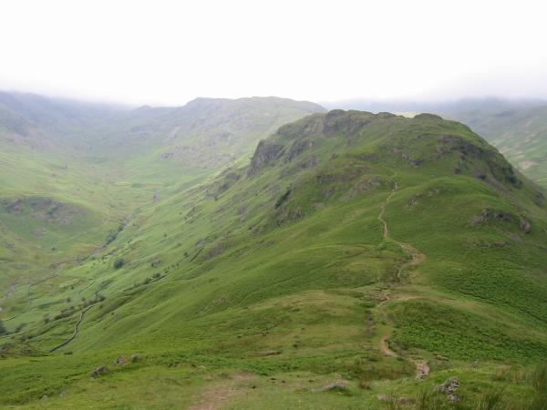
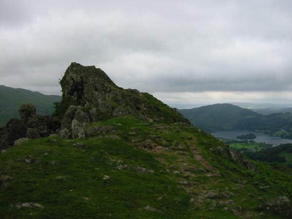
The Howitzer, Helm Crag summit and Steel Fell's southeast ridge
Lion and The Lamb, Helm Crag with Grasmere and Loughrigg Fell in the distance
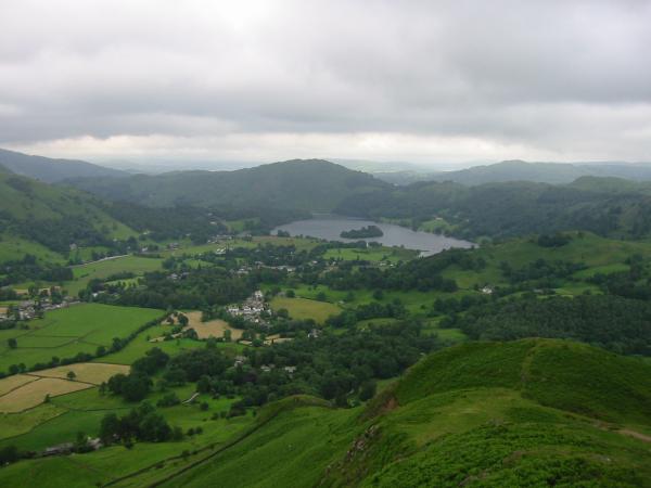
Grasmere, village and lake from Helm Crag
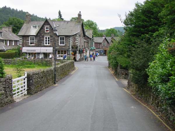
Easedale Road back into the centre of Grasmere
Previous Walk: Hesk Fell and The Pike (Thu 27 Jun 2002)
Next Walk: Silver How, Blea Rigg and Easedale Tarn (Wed 3 Jul 2002)