Lingmoor Fell
Sat 13 Apr 2002
Route: Blea Tarn carpark - Blea Tarn - Side Gates - above the intake wall, Little Langdale - east ridge - Lingmoor Fell - northwest ridge - col with Side Pike - road - Bleatarn House - Blea Tarn carpark
Distance: 4.50 miles
Ascent: 1,100ft
Time: 3 hours 10 minutes
With: Anne, Mum and Dad
Notes:
Dry, light winds, overcast, cloud base above fells
© Crown copyright. All rights reserved. Licence number AL100038401
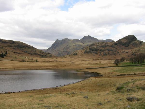
Langdale Pikes and Side Pike from Blea Tarn
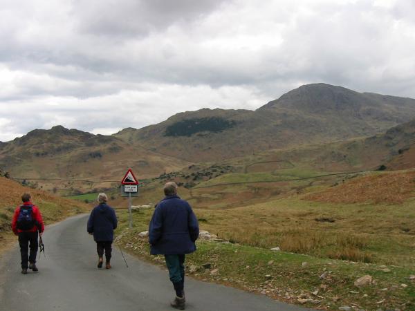
Heading towards Little Langdale with Wetherlam ahead
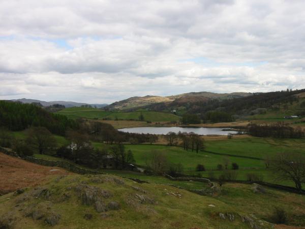
Little Langdale Tarn with Black Crag behind
Little Langdale from above the intake wall, Lingmoor Fell
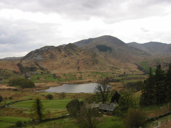
Little Langdale Tarn with Wetherlam behind
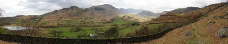
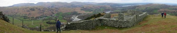
Little Langdale panorama from Lingmoor Fell
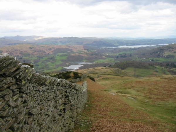
Looking down Lingmoor Fell's east ridge to Elter Water and Windermere
Easterly panorama from Lingmoor Fell's east ridge
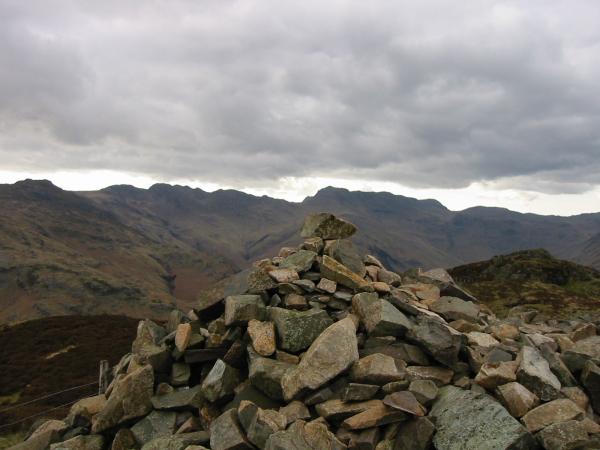
Crinkle Crags and Bowfell from Lingmoor Fell summit

360 Panorama from Lingmoor Fell summit
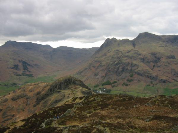
Bowfell and the Langdale Pikes from Lingmoor Fell
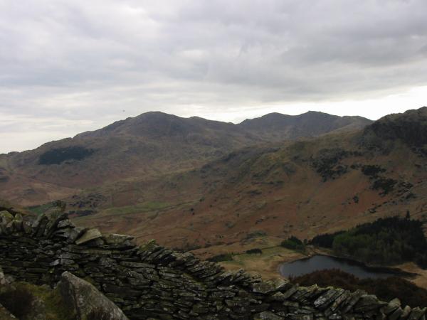
Wetherlam, Swirl How, Great Carrs and Blea Tarn from Lingmoor Fell's northwest ridge

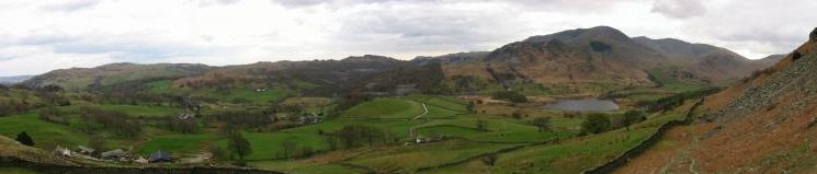
Langdale valley panorama from Lingmoor Fell's northwest ridge
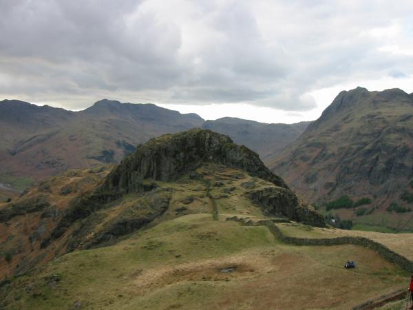
Side Pike, Great Langdale
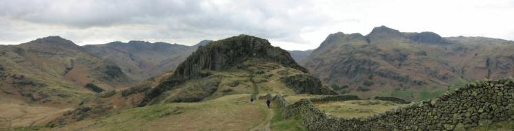
Side Pike and Great Langdale panorama from Lingmoor Fell's northwest ridge
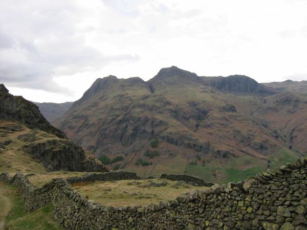
The Langdale Pikes (Pike O' Stickle, Loft Crag, Harrison Stickle, Pavey Ark) and Sergeant Man from Lingmoor Fell
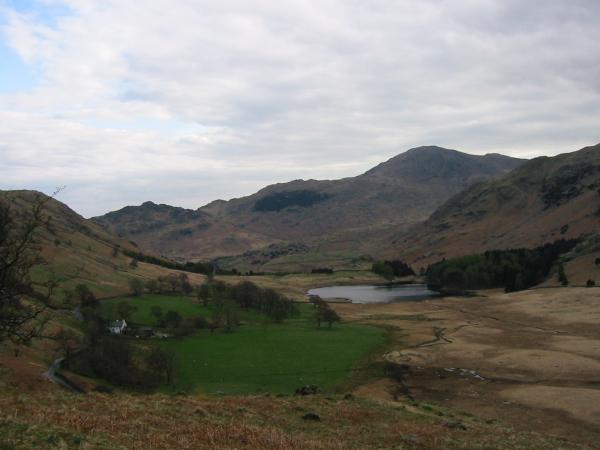
Blea Tarn and Wetherlam from the descent off Lingmoor Fell
Previous Walk: Great Gable from Honister Hause (Sat 6 Apr 2002)
Next Walk: Hallin Fell (Sun 14 Apr 2002)