50th Helvellyn
Fri 13 Jan 2012
Route: Dunmail Raise - Raise Beck - Grisedale Tarn - Dollywaggon Pike - High Crag - Nethermost Pike - Swallow Scarth - Helvellyn - Swallow Scarth - Birk Side - Wythburn path - Permissive path - Dunmail Raise
Distance: 7.00 miles
Ascent: 2,700ft
Time: 4 hours
With: On own
Notes:
Wall to wall blue sky and sunshine, hardly any wind
© Crown copyright. All rights reserved. Licence number AL100038401
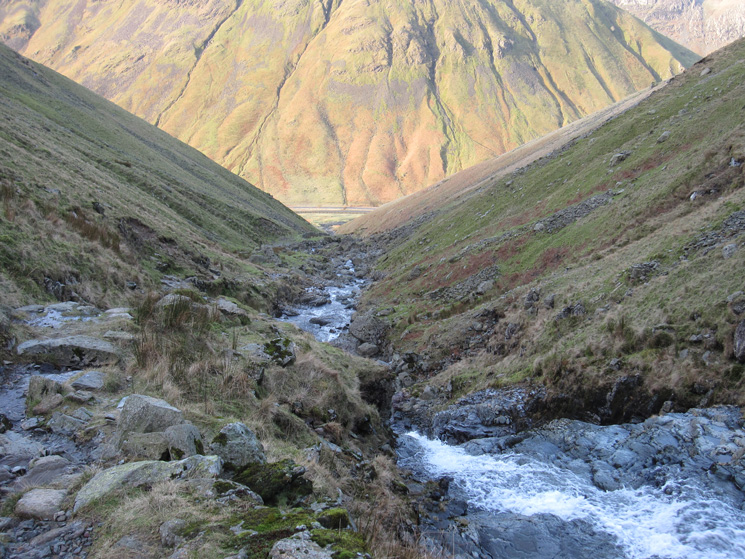
Looking back down to Dunmail Raise from the path by Raise Beck
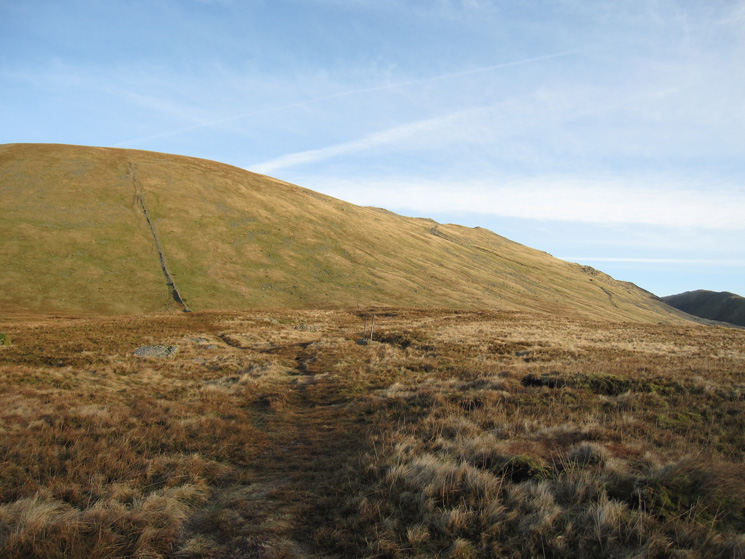
Dollywaggon Pike, from here you can go straight up by the wall or use the zig-zags on the right
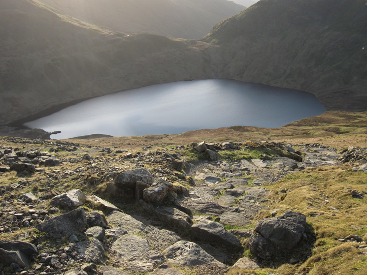
Looking back down on Grisedale Tarn
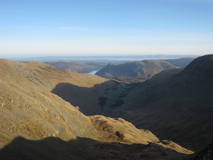
Grisedale
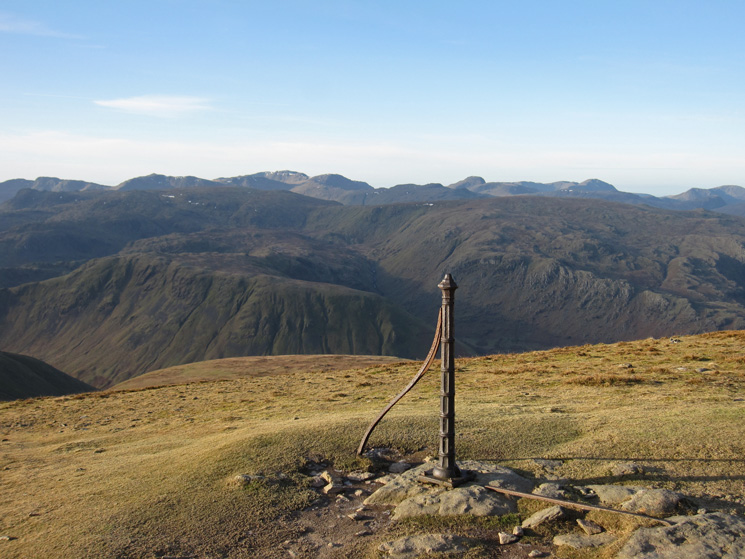
The view west from The Post on Dollywaggon Pike
The High Stile ridge on the far left skyline and the north western fells from Dollywaggon Pike's summit
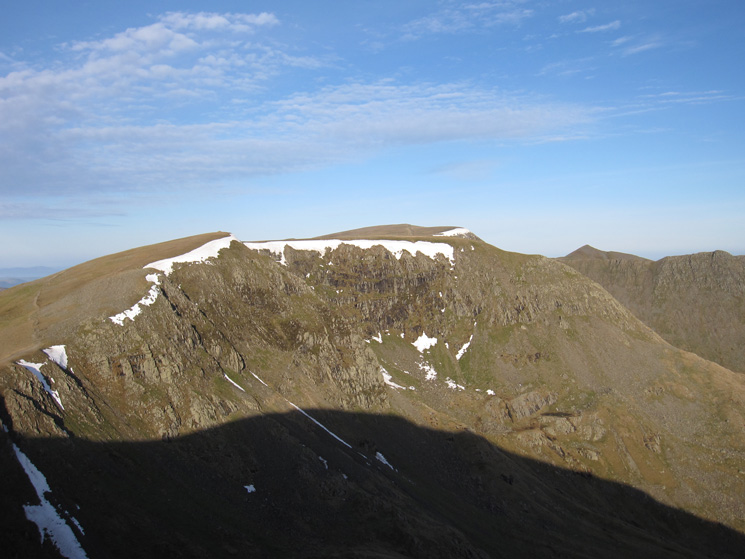
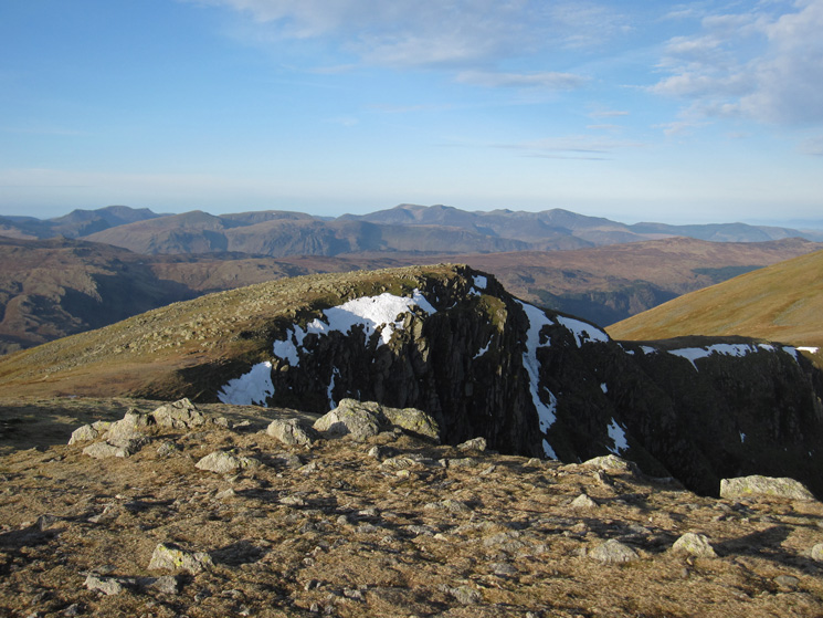
High Crag, Nethermost Pike, Helvellyn and Catstycam from Dollywaggon Pike's summit
High Crag, the main path skirts its summit. I took the minor path up through the scree
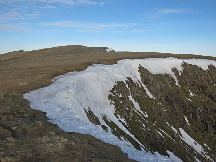
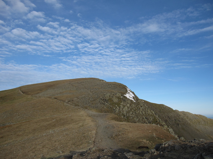
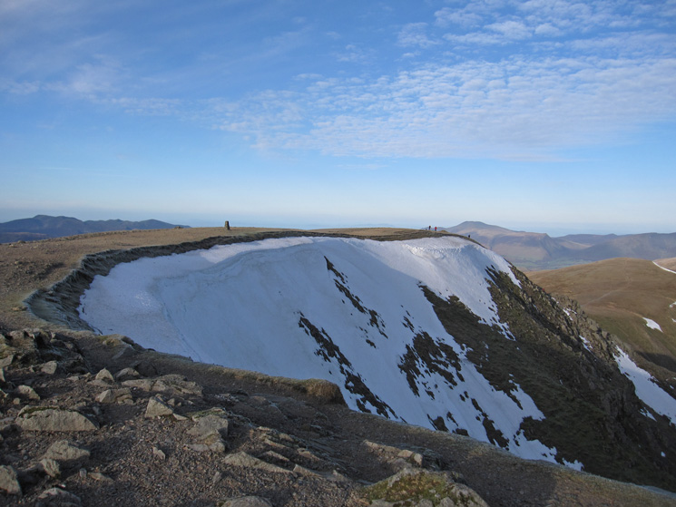
The remains of the cornice and the flat top of Nethermost Pike
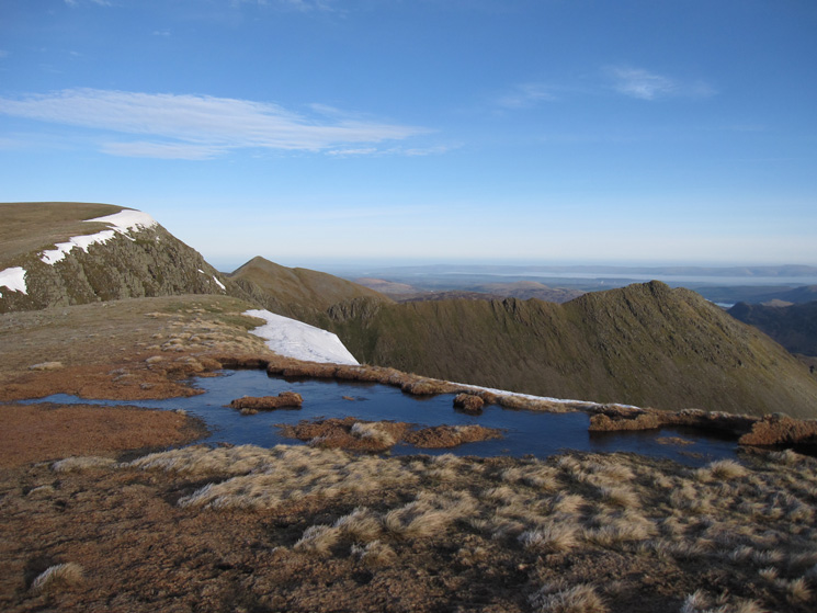
Striding Edge from Nethermost Pike
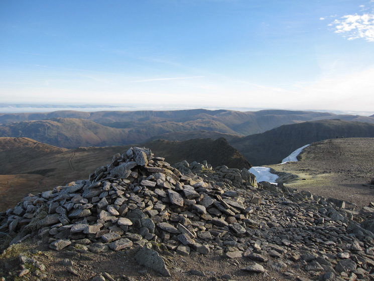
The far eastern fells from Helvellyn's summit carin
Helvellyn's summit
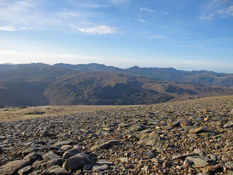
West over High Raise and Ullscarf to Crinkle Crags, Bowfell, Scafell Pike, Great Gable, Pillar and the High Stile ridge
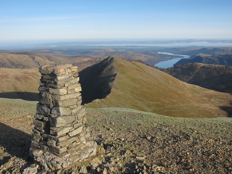
Helvellyn's summit trig point, Catstycam and Ullswater
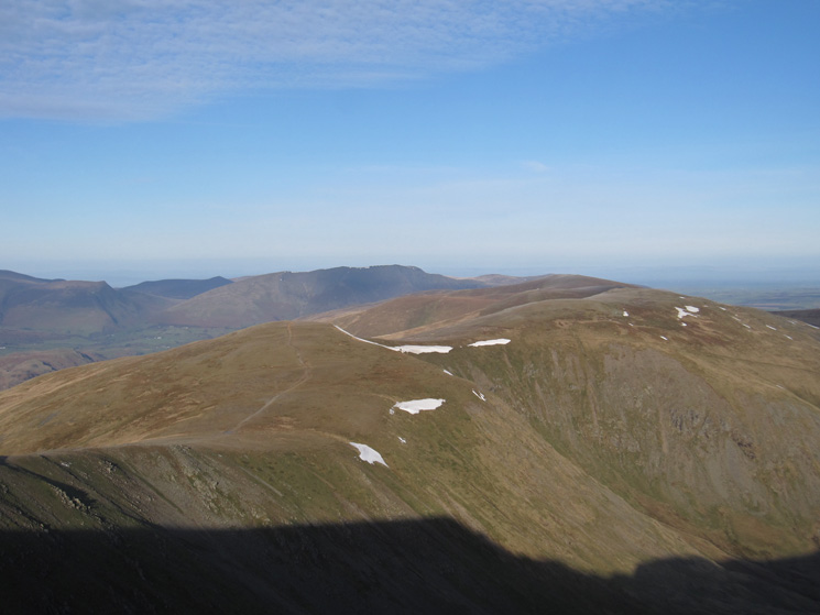
Helvellyn Lower Man and the Skiddaw fells
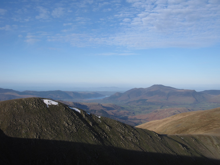
White Side, Raise and the Dodds with Great Calva and Blencathra in the distance
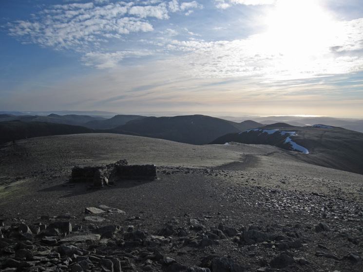
Helvellyn's cross shelter as I look south into the sun
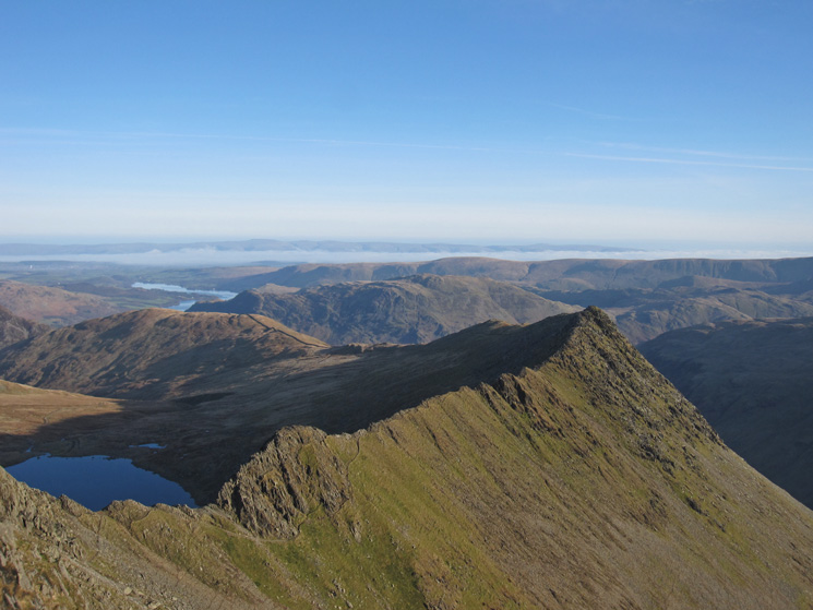
Striding Edge and part of Red Tarn, there is a cloud inversion in the Eden Valley, the North Pennines in the far distance
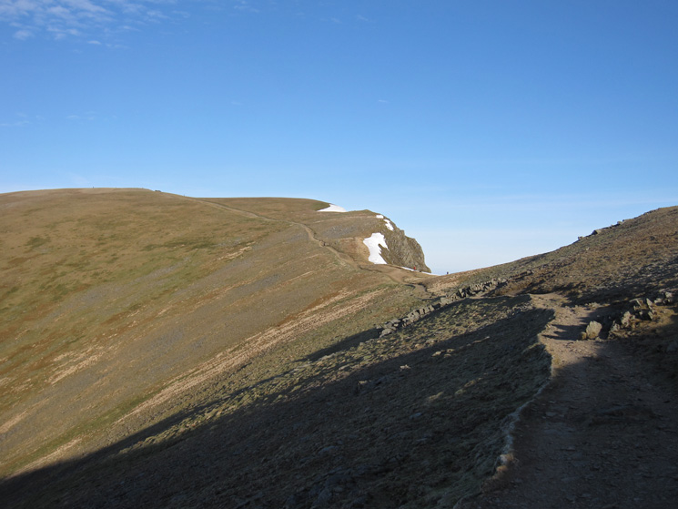
Looking back to Helvellyn's summit and Swallow Scarth
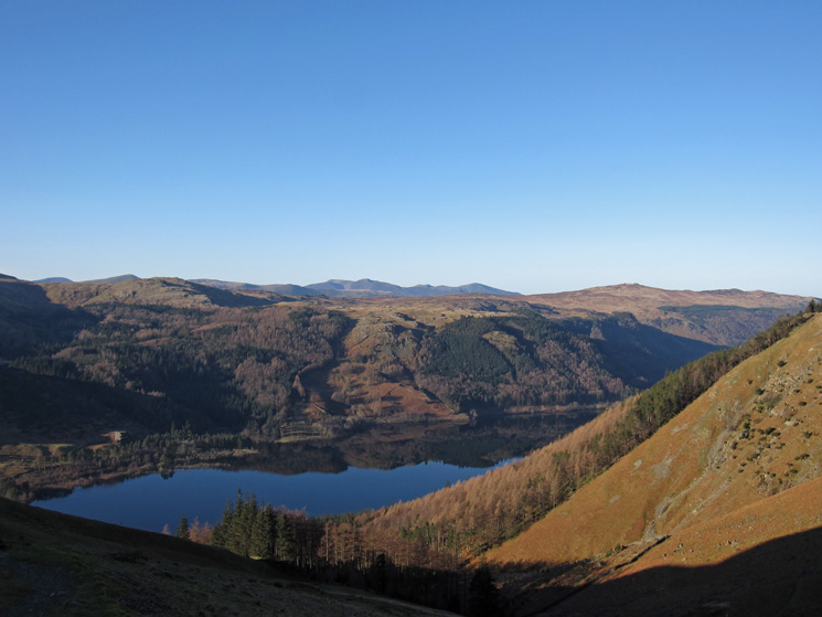
Thirlmere reflections
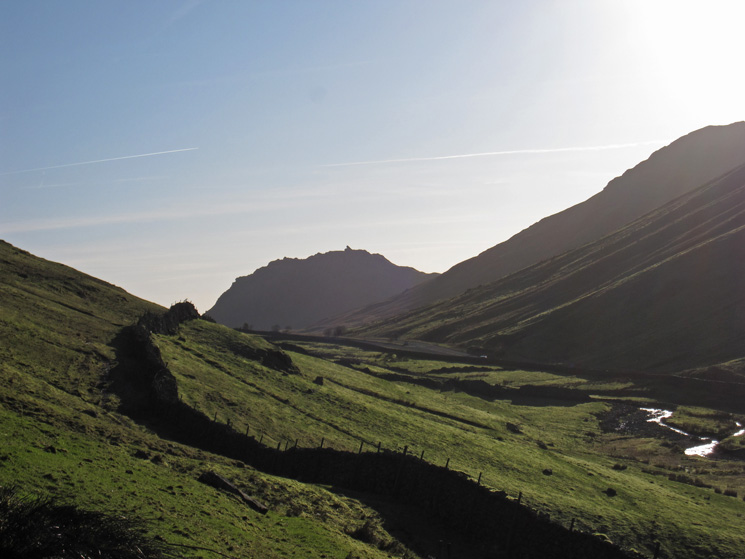
Almost back at Dunmail Raise, Helm Crag beyond
Previous Walk: Harter Fell from Mardale Head (Sun 8 Jan 2012)
Next Walk: Lord's Seat (Sat 14 Jan 2012)