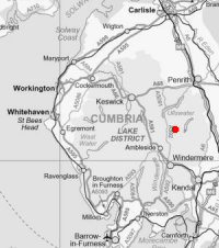
Ten Fells from Hartsop
Tue 1 Oct 2013
Route: Hartsop - Brock Crags - Satura Crag - The Nab - Rest Dodd - The Knott - Rampsgill Head - High Raise - Kidsty Pike - Straits of Riggindale - High Street - Thornthwaite Crag - Gray Crag - Hayeswater - Hartsop
Distance: 12.25 miles
Ascent: 4,050ft
Time: 6 hours 10 minutes
With: Peter Huzan
Notes:
Dull, overcast, windy. But great to escape work on a Tuesday and head onto the fells
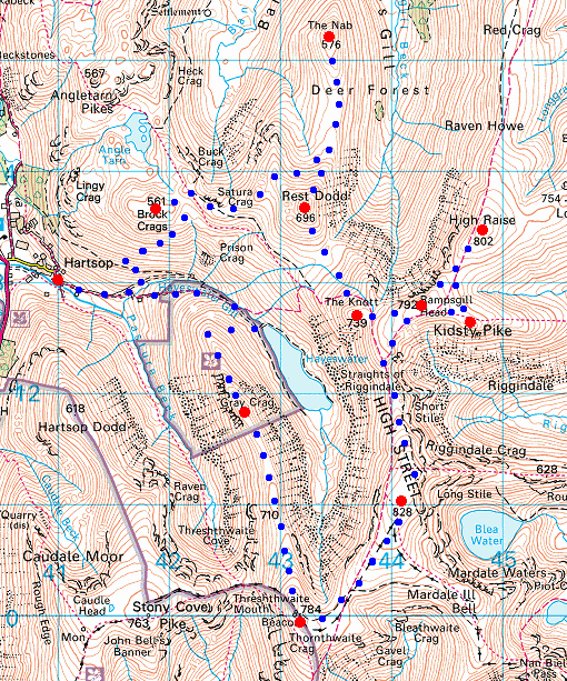
© Crown copyright. All rights reserved. Licence number AL100038401
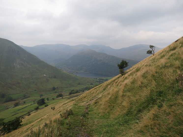
Brothers Water and Hartsop Above How from the path up Brock Crags
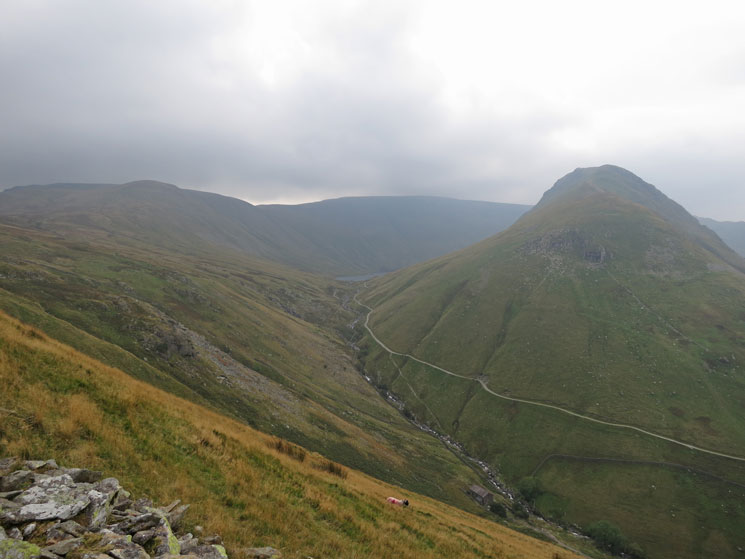
Gray Crag and a glimpse of Hayeswater
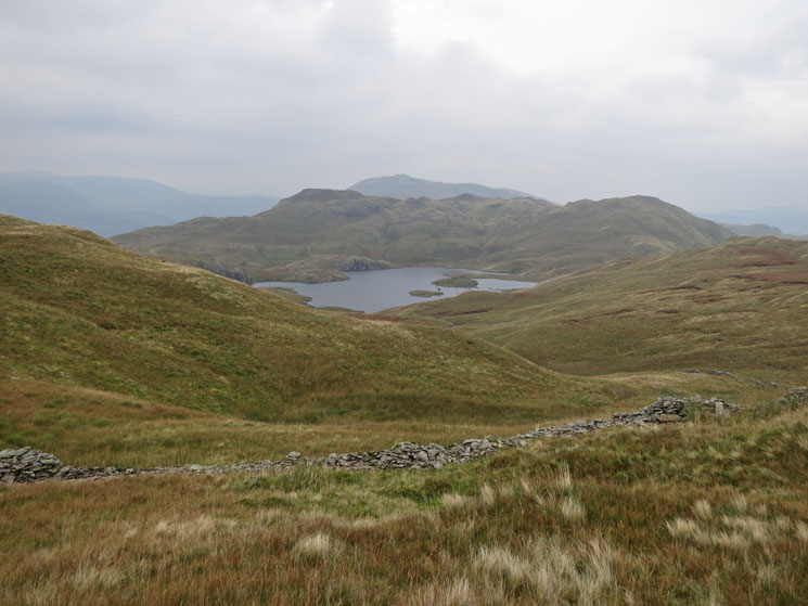
Angle Tarn to the north
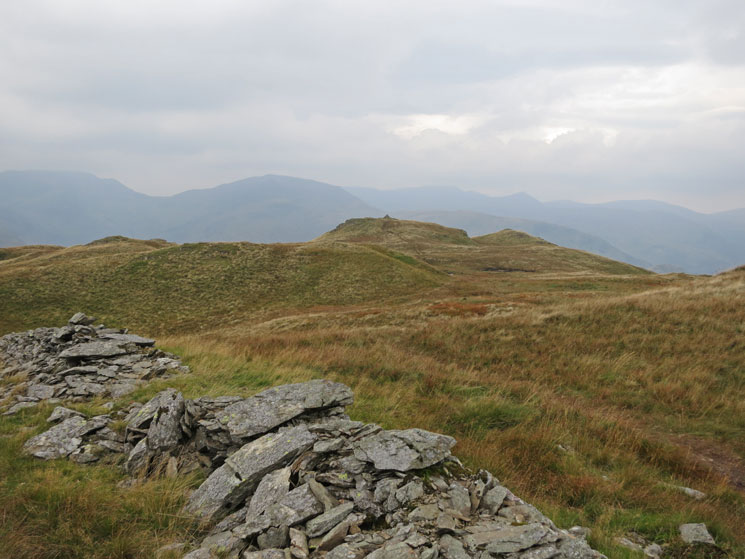
Looking across to Brock Crags summit
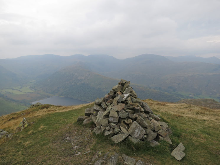
East from Brock Crags summit
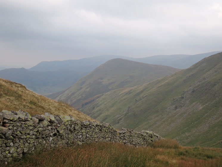
The Nab, we are heading there next
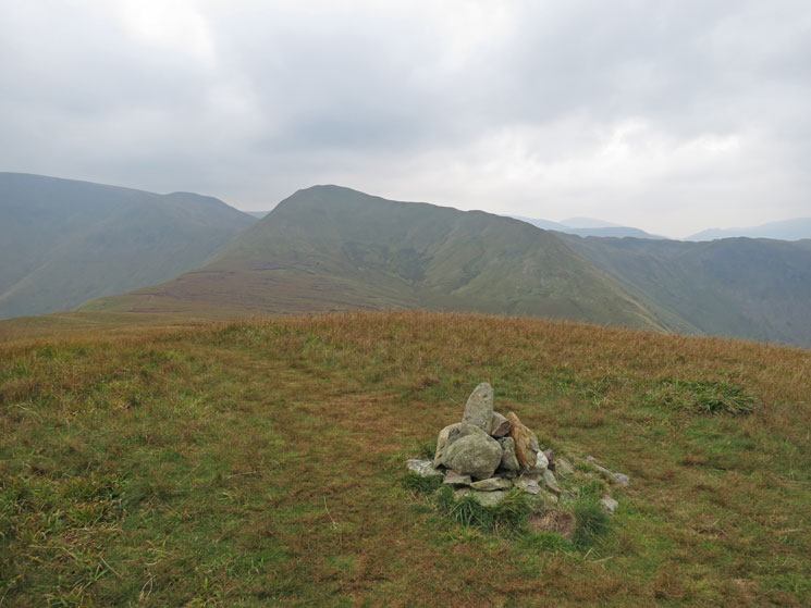
Rest Dodd from The Nab's summit
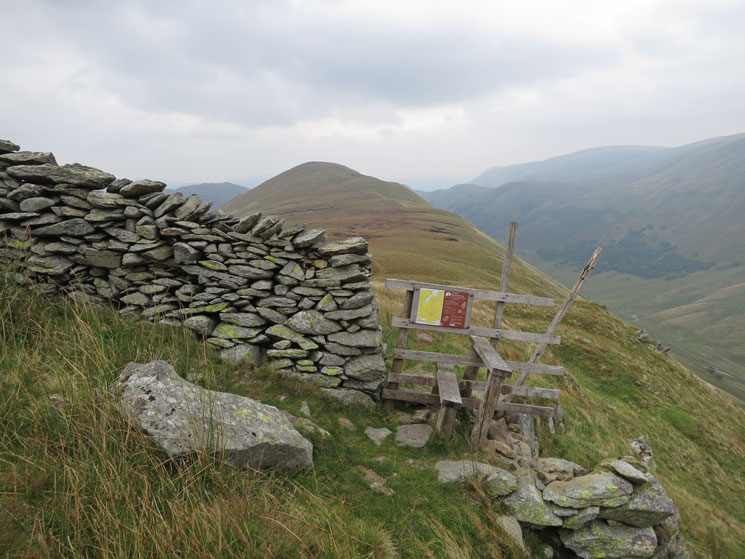
The Nab from the wall/stile at the foot of Rest Dodd's north ridge
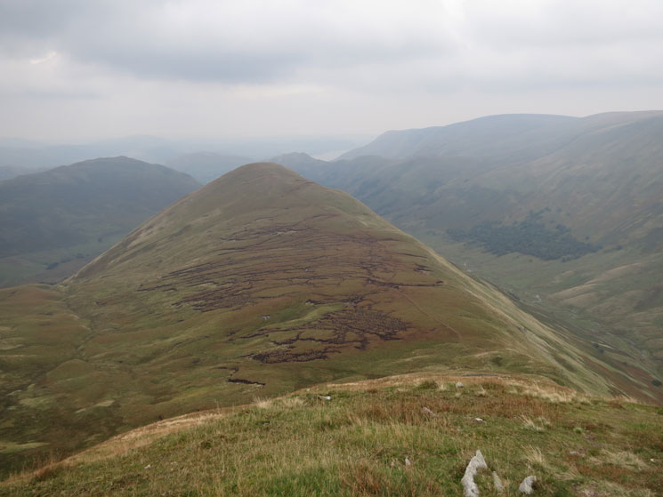
The Nab from Rest Dodd's north ridge
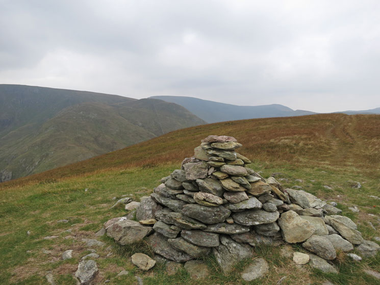
Towards The Knott from Rest Dodd's summit
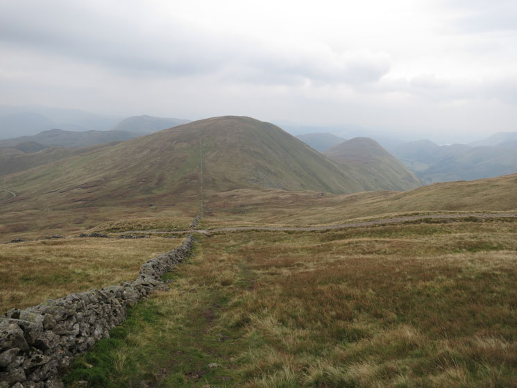
Rest Dodd and The Nab from the climb up The Knott
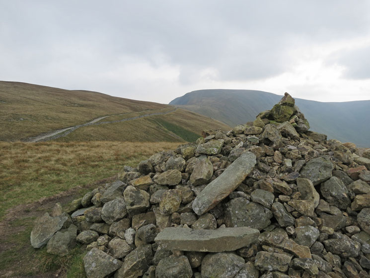
High Street from The Knott
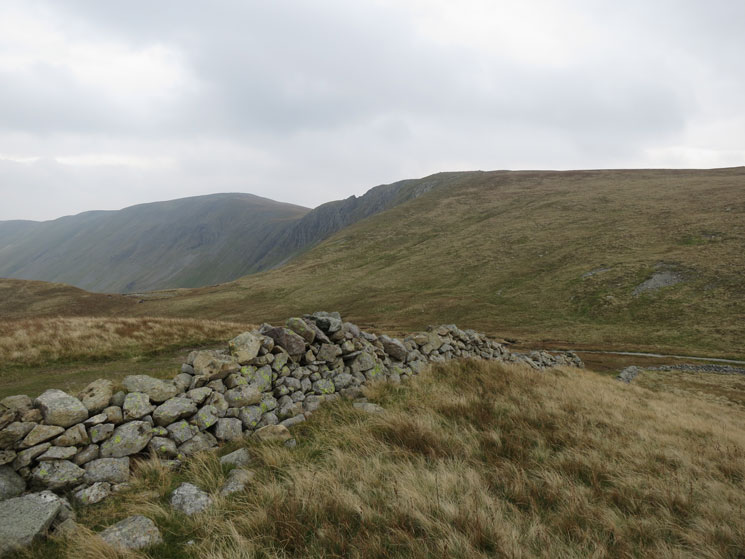
High Raise and Rampsgill Head from The Knott
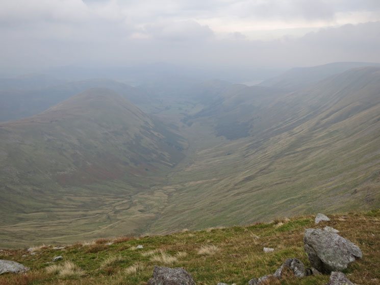
Ramps Gill from Rampsgill Head
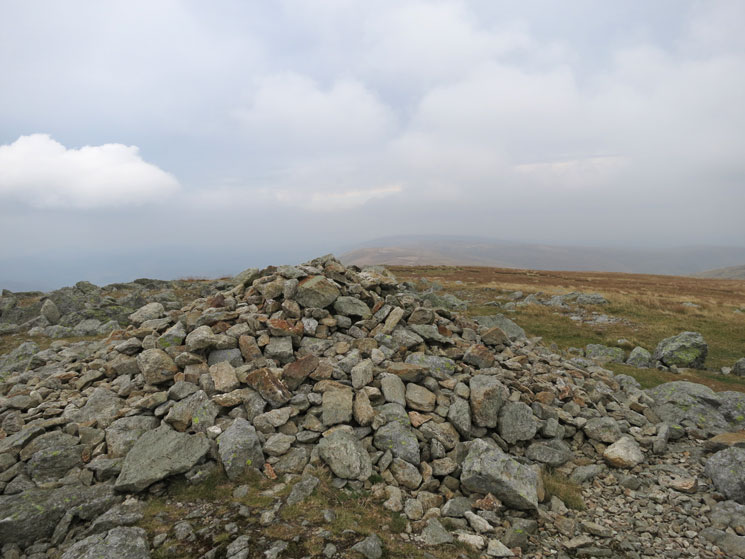
High Raise summit
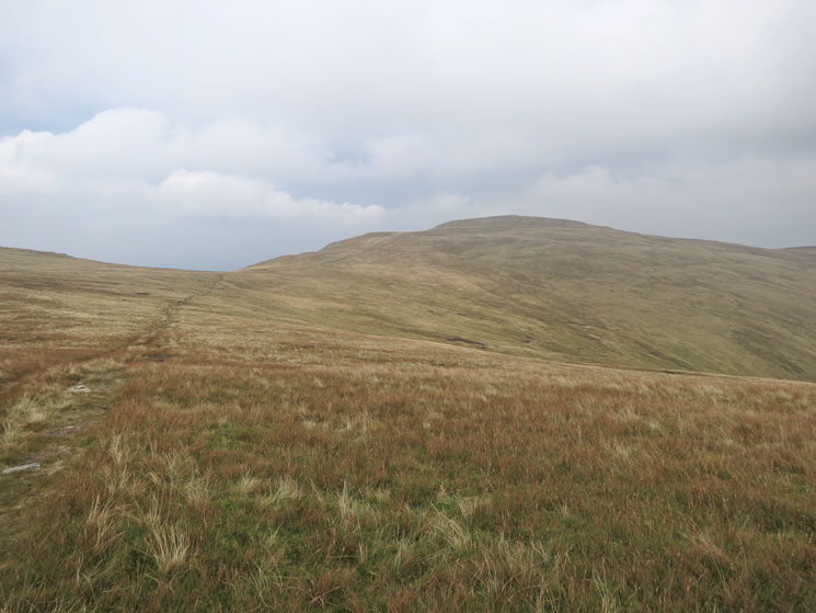
Looking back to High Raise as we head for Kidsty Pike
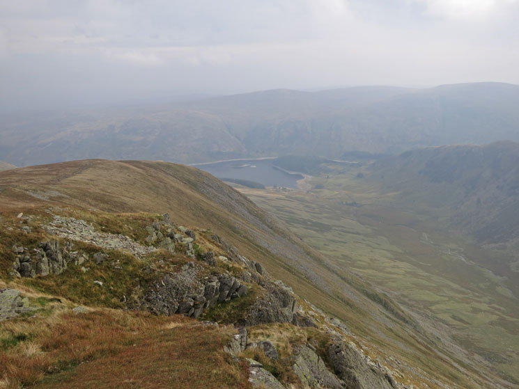
Riggindale and Haweswater far below from Kidsty Pike's summit
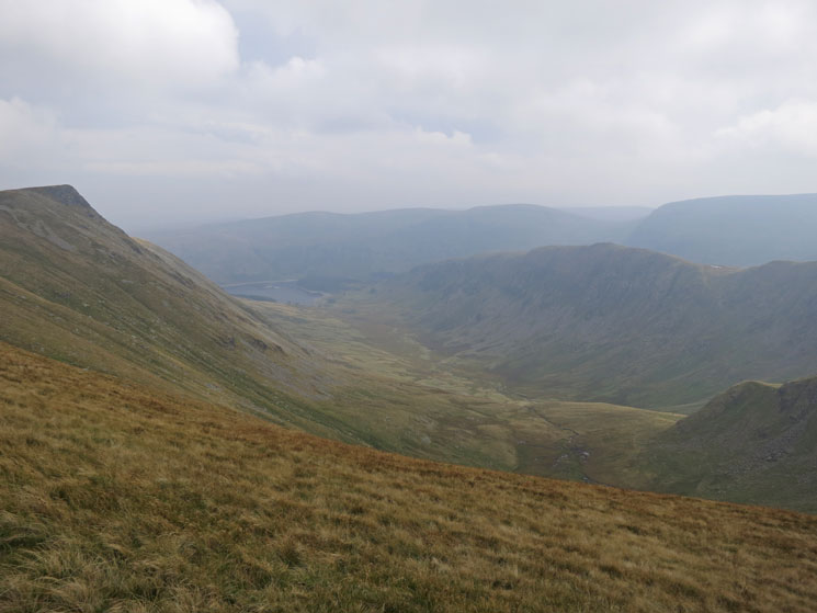
Riggindale with Kidsty Pike on the left and Rough Crag on the right
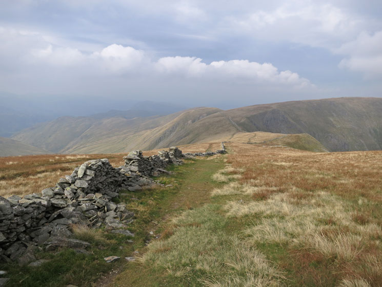
The Straits of Riggindale
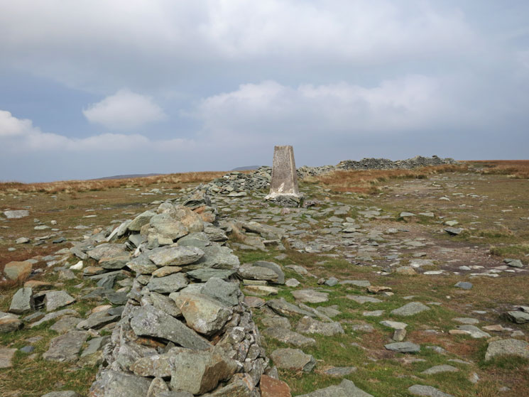
High Street summit
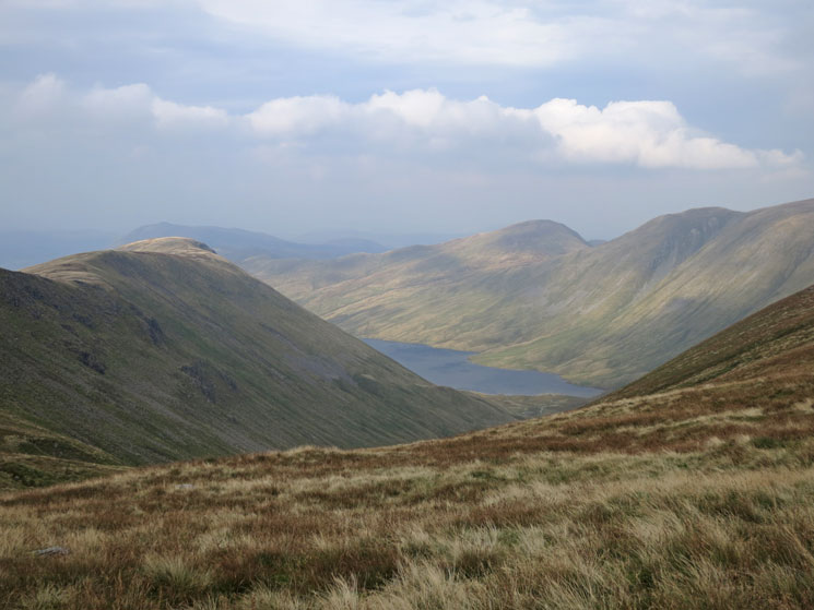
Hayeswater with Gray Crag on the left and Rest Dodd and The Knott on the right
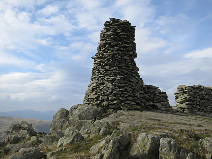
Thornthwaite Beacon
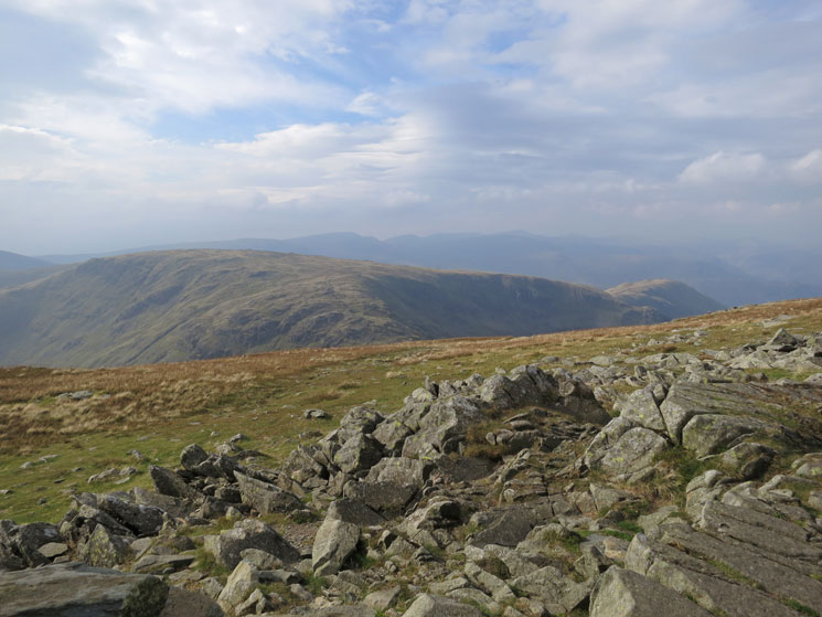
Stony Cove Pike/Caudale Moor and Hartsop Dodd, two fells too far today
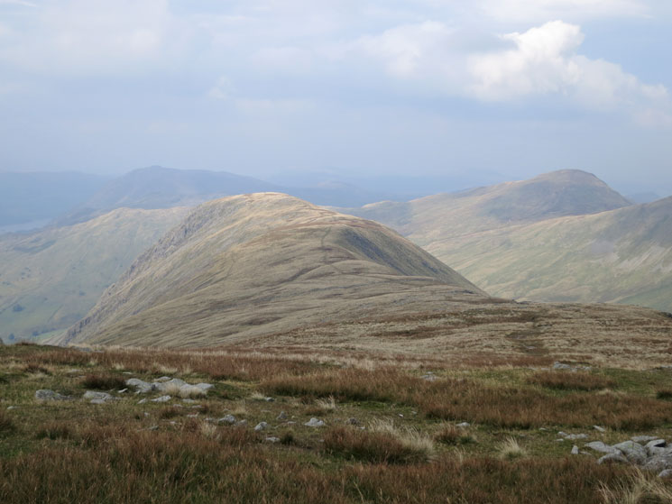
Gray Crag, our last fell of the day
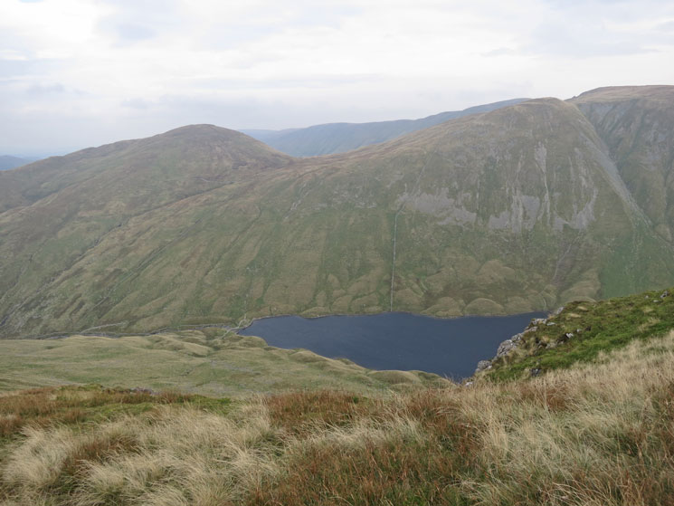
Hayeswater far below as we descend off Gray Crag
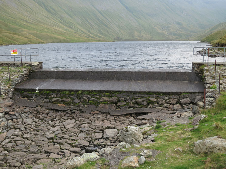
Hayeswater Dam built in 1908
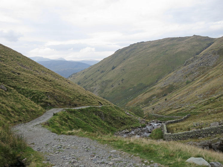
The track down from Hayeswater dam to Hartsop
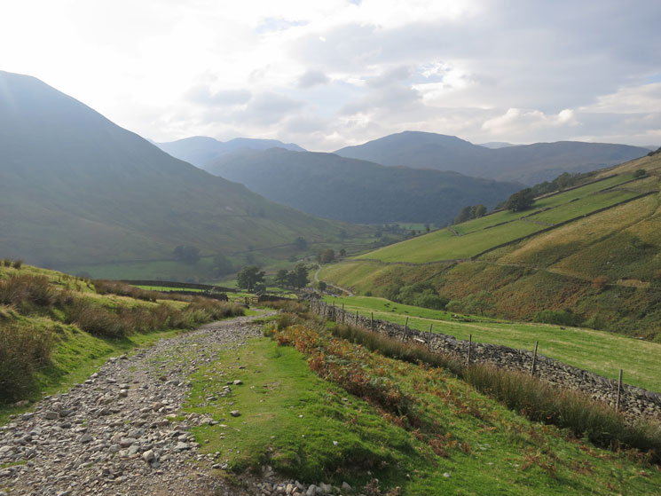
Track to Hartsop
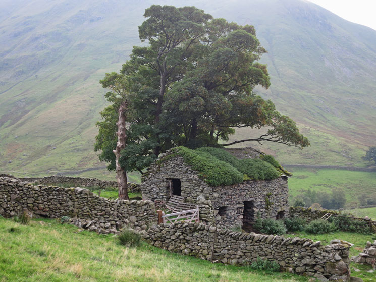
One of the most photographed barns in Lakeland
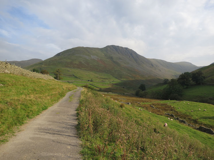
Looking back to Gray Crag
Previous Walk: Wetherlam from Tilberthwaite (Sat 14 Sep 2013)
Next Walk: A Newlands Round (Wed 2 Oct 2013)
