Over Catbells and around Derwent Water
Mon 23 May 2011
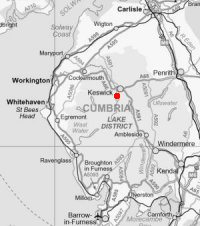
Route: Moot Hall, Keswick - Portinscale - Hawes End - Catbells - Hause Gate - Manesty - Grange in Borrowdale - Lodore - Derwent Water - Calfclose Bay - The Ings - Friar's Crag - Moot Hall
Distance: 10.50 miles
Ascent: 1,500ft
Time: 4 hours 20 minutes
With: Peter Huzan
Notes:
Forecast
West or Southwest 50 to 70mph with gusts to 100mph over ridges and summits. Risk of being blown over. Severe wind chill.
- Dawn - 0900: Heavy Rain. 100% chance of rain
- 0900 - 1200: Heavy Rain. 90% chance of rain
- 1200 - 1500: Heavy rain showers. 70% chance of rain
- 1500 - Dusk: Heavy rain showers. 90% chance of rain
So a delayed start until noon. We had a rain free walk but it was very, very, very windy on Catbells. All the recent rain meant that Derwent Water had expanded and there was no way we could use the Chinese Bridge so we had to cross the River Derwent at Grange.
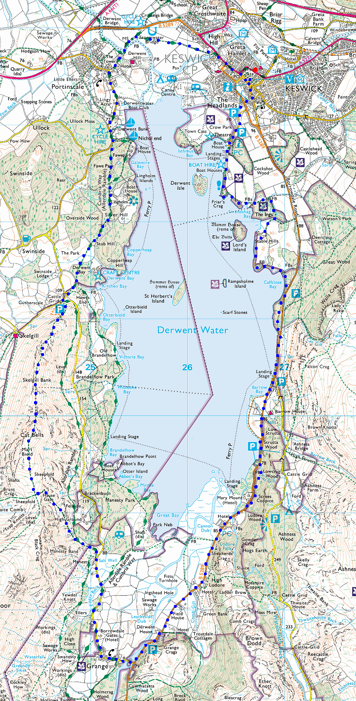
© Crown copyright. All rights reserved. Licence number AL100038401
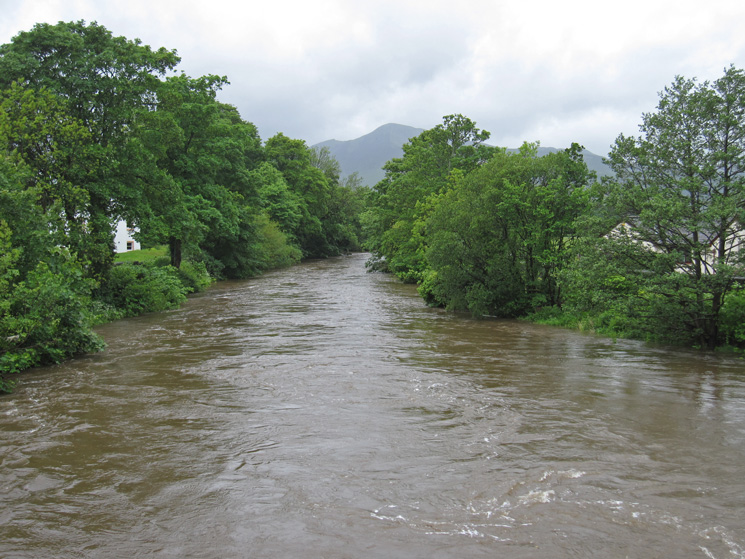
Lots of water in the River Greta as we head out of Keswick
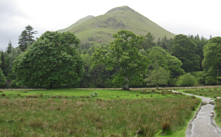
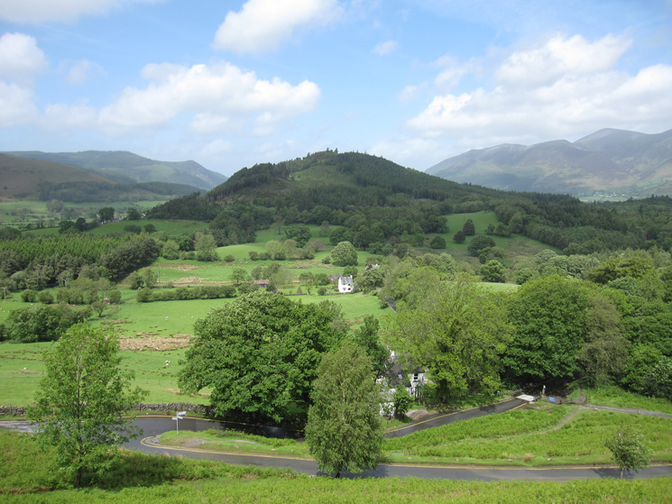
Catbells from The Park
Looking back to Swinside as we head up Skelgill Bank
The Skiddaw fells and Blencathra
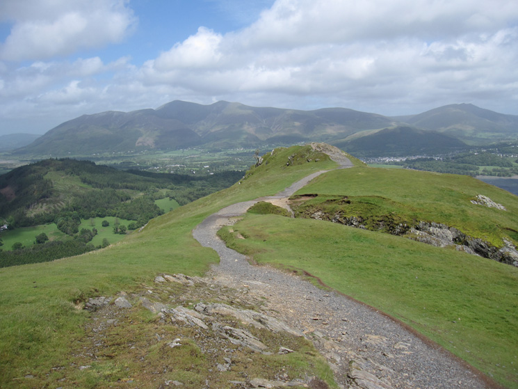
The northwestern fells
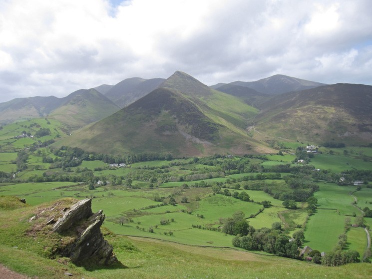
Looking towards Hindscarth, Robinson and the Newlands valley
Catbells from Skelgill Bank
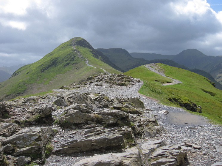
Skelgill Bank
Catbells' summit from low down
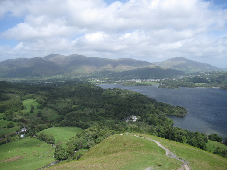
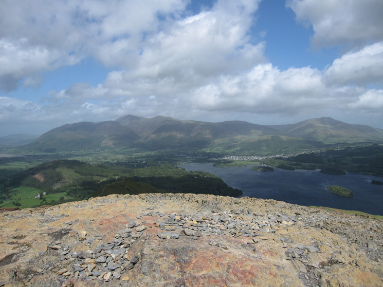
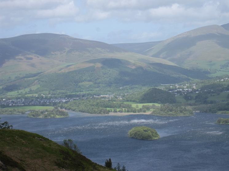
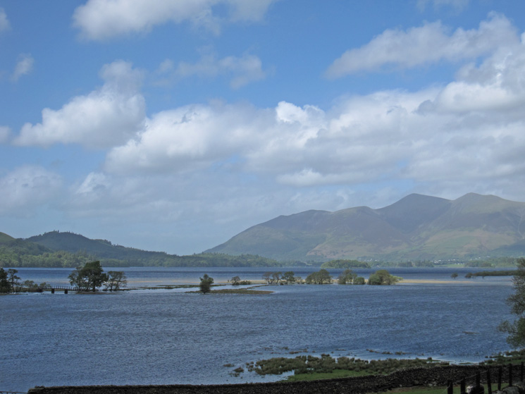
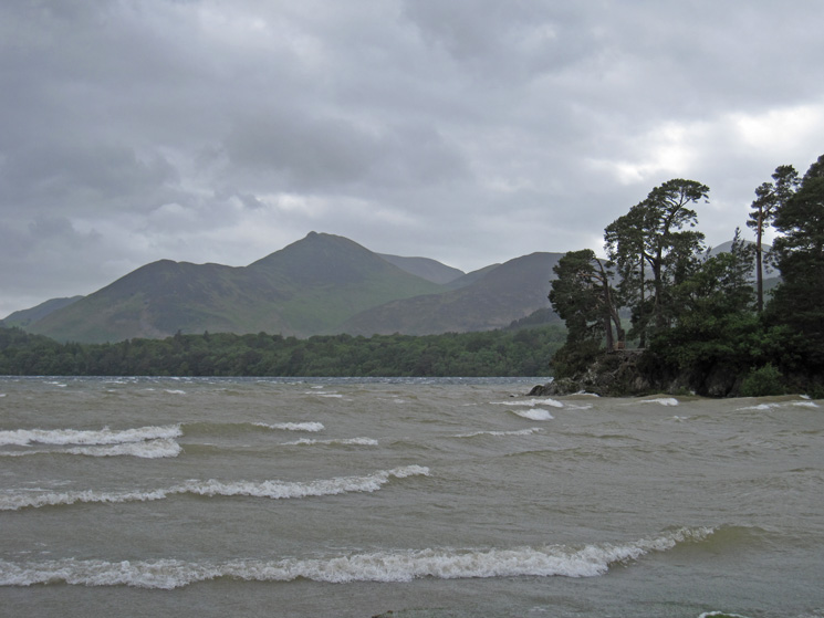
The extended head of Derwent Water
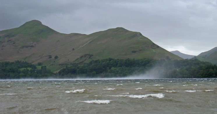
A squall heads down Derwent Water
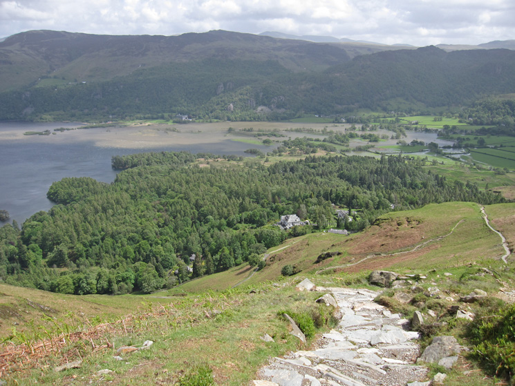
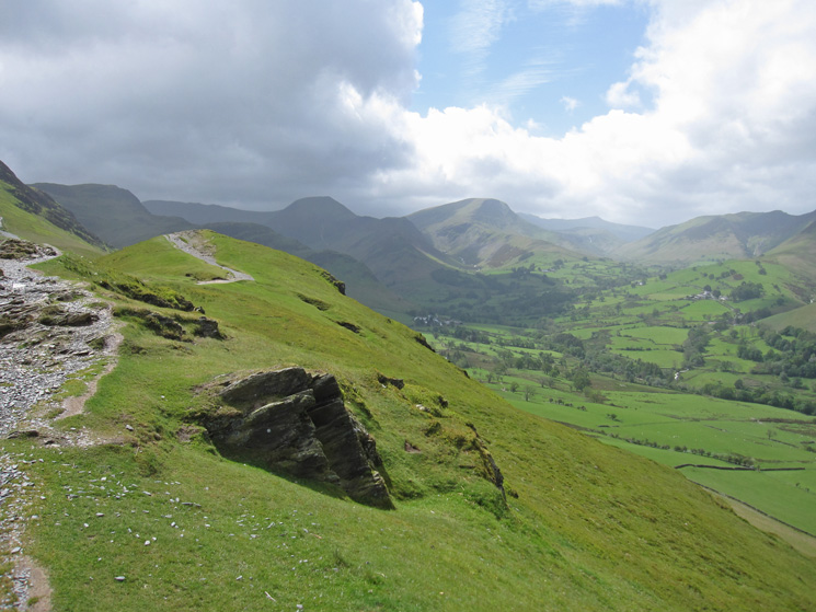
The descent from Hause Gate
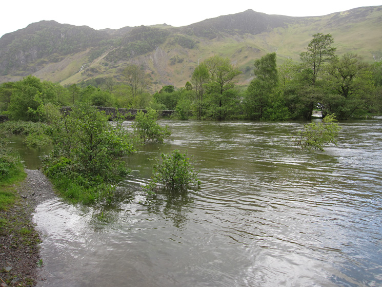
The River Derwent at Grange
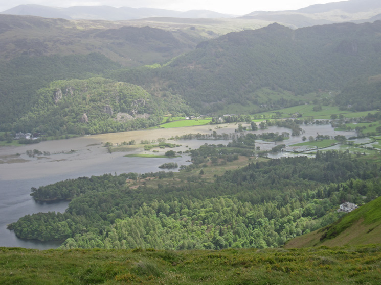
The River Derwent has burst its banks. The Chinese Bridge we had intended to use is on the far right
A flooded Cannon Dub with the Chinese Bridge on the left
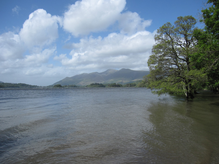
Derwent Water proper
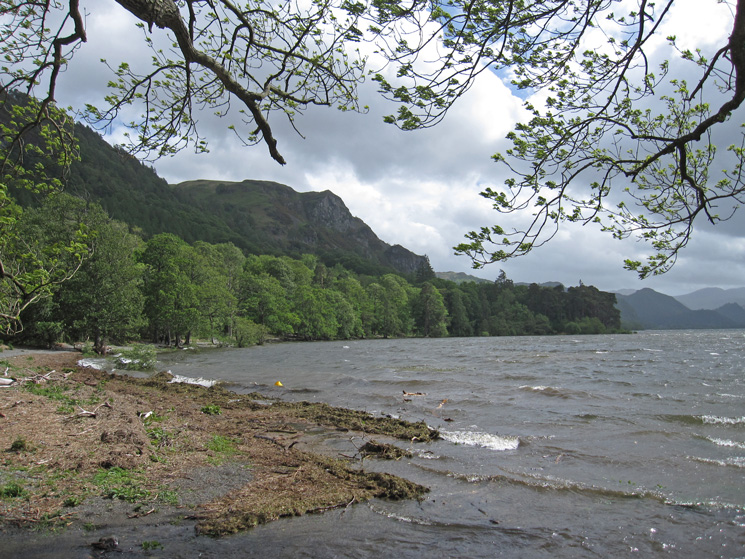
Falcon Crag and Calfclose Bay
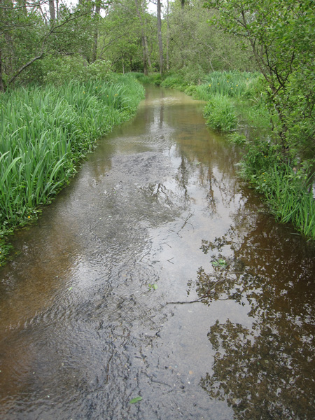
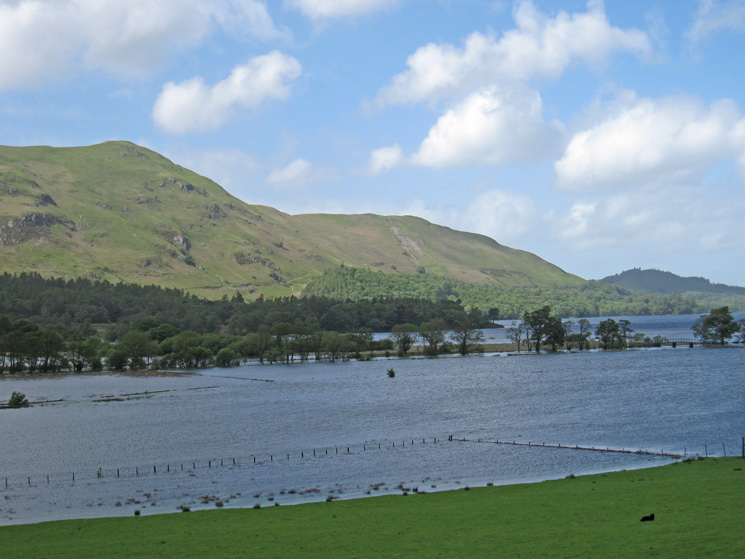
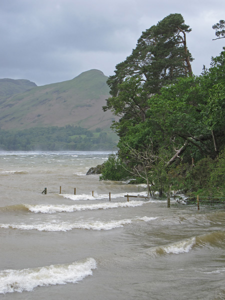
The Ings, flooded
Causey Pike and Friar's Crag
A squall passes in front of Catbells
Catbells behind Friar's Crag
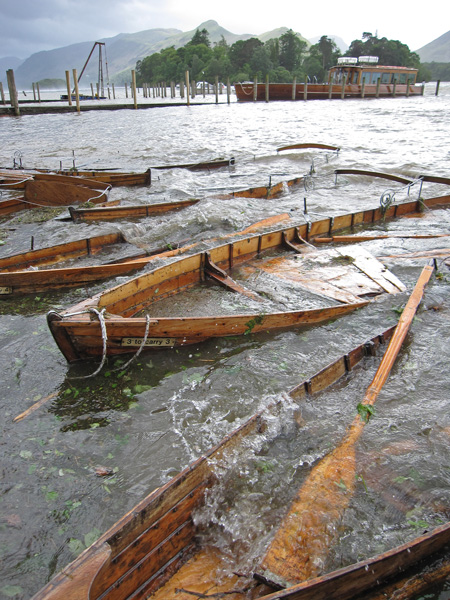
Swamped
Previous Walk: Loughrigg Fell (Sun 22 May 2011)
Next Walk: Grange Fell (Sun 10 Jul 2011)