Caw Fell to Steeple from Ennerdale
Sat 4 Sep 2010
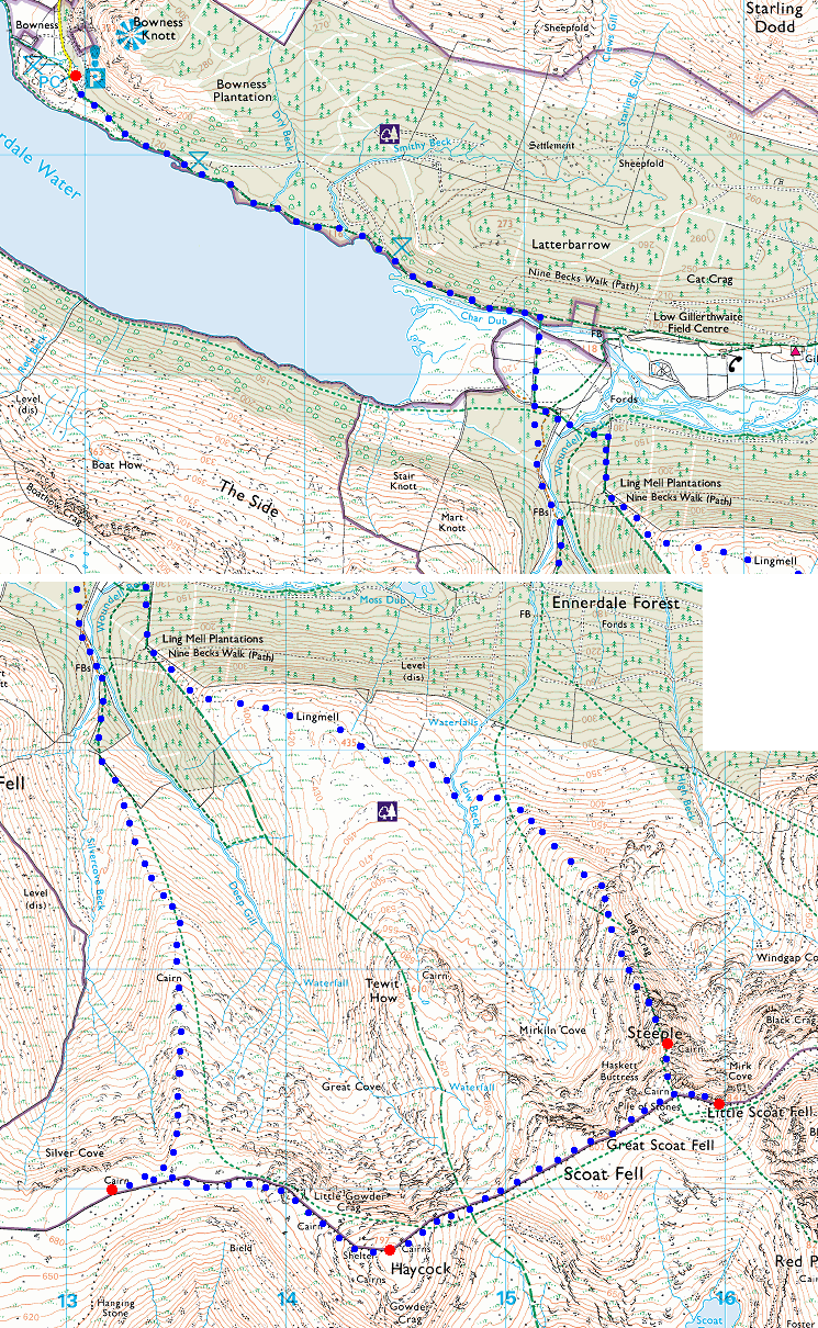
Route: Bowness car park, Ennerdale - Ennerdale Water - Irish Bridge - Caw Fell's north ridge - Caw Fell - Little Gowder Crag - Haycock - Little Scoat Fell - Steeple - Steeple's north ridge - Lingmell - Irish Bridge - Ennerdale Water - Bowness car park
Distance: 11.00 miles
Ascent: 3,050ft
Time: 7 hours 30 minutes
With: Anne and members of the OFC
Notes:
Neil Haslewood's 214 Wainwright completion walk
Windy on the tops, broken cloud, hazy
© Crown copyright. All rights reserved. Licence number AL100038401
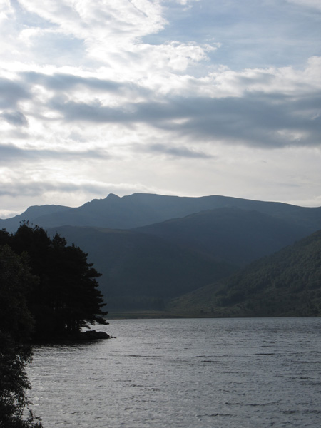
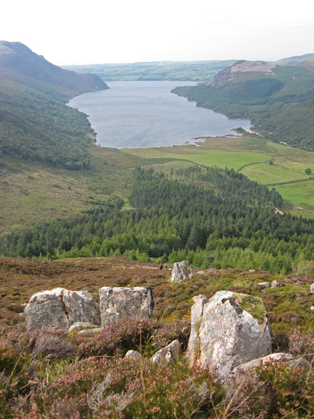
Steeple, today's target, is the pointed fell on the skyline, seen here across Ennerdale Water
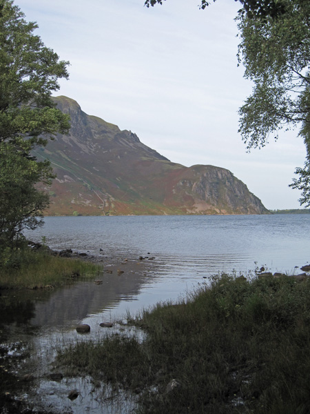
Crag Fell and Anglers' Crag on the far side of Ennerdale Water
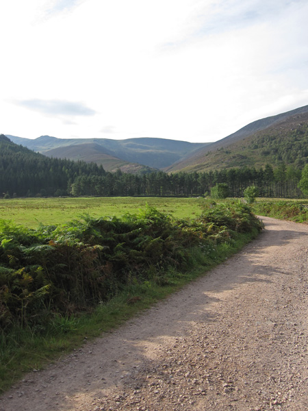
Caw Fell (middle skyline) and our ascent ridge to the left from near Irish Bridge
Great Borne on the other side of the valley from the start of the ridge
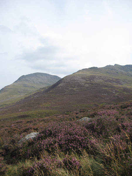
Great Borne and Starling Dodd from about three quarters of the way up Caw Fell's north ridge
Ascending the ridge
Iron Crag
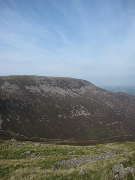
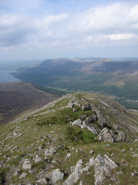
Looking down Caw Fell's north ridge
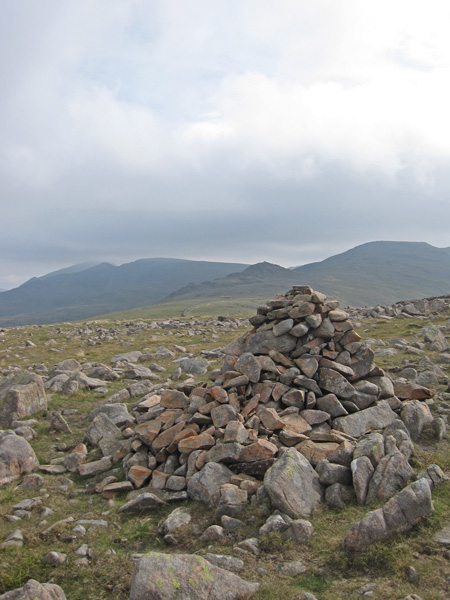
Caw Fell's summit cairn
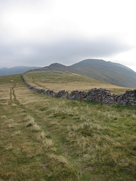
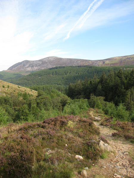
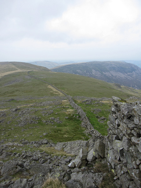
Little Gowder Crag and Haycock, just follow the wall
Looking back to Caw Fell and Iron Crag from Little Gowder Crag
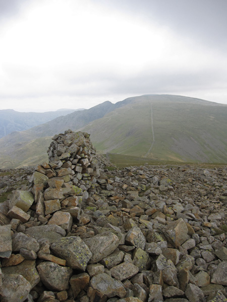
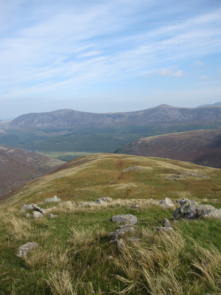
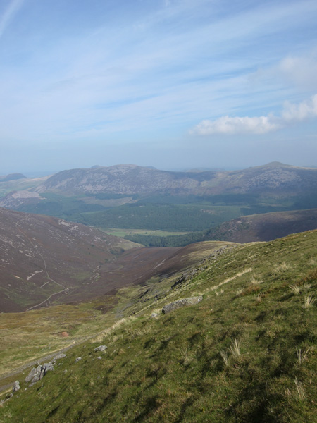
Steeple and Scoat Fell from Haycock's summit
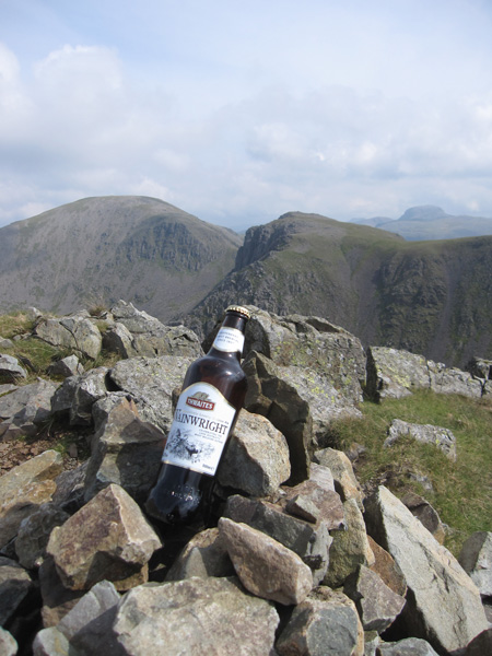
Black Crag with Pillar behind from Scoat Fell's summit
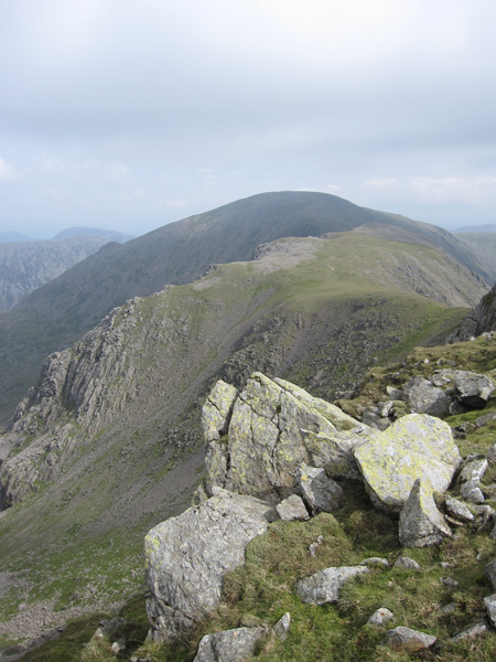
Steeple across Mirk Cove from Scoat Fell
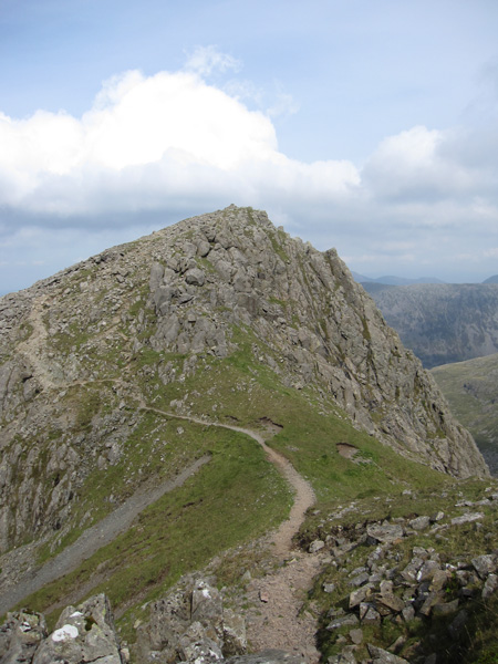
Steeple
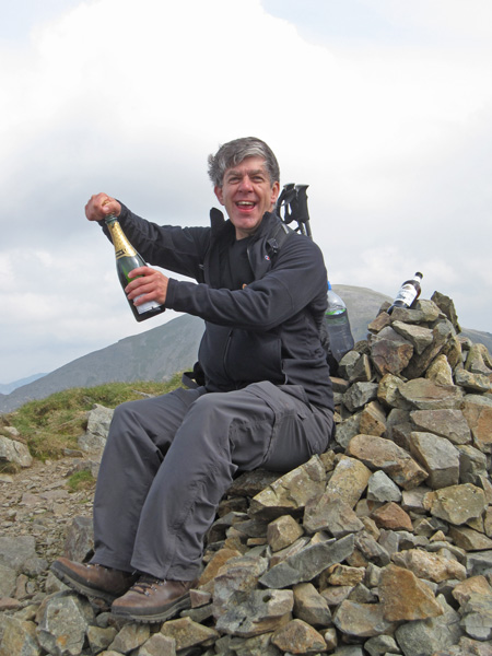
Neil's 214
Pillar, Black Crag and Great Gable from Steeple's summit
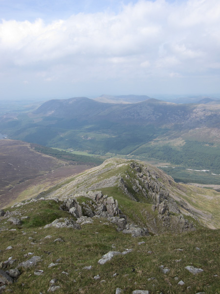
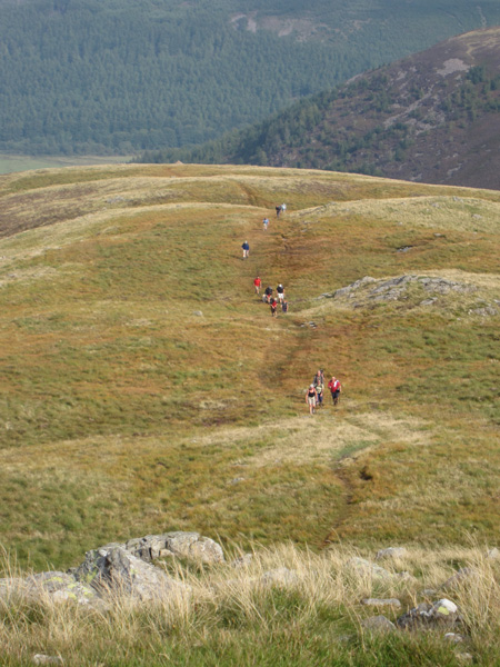
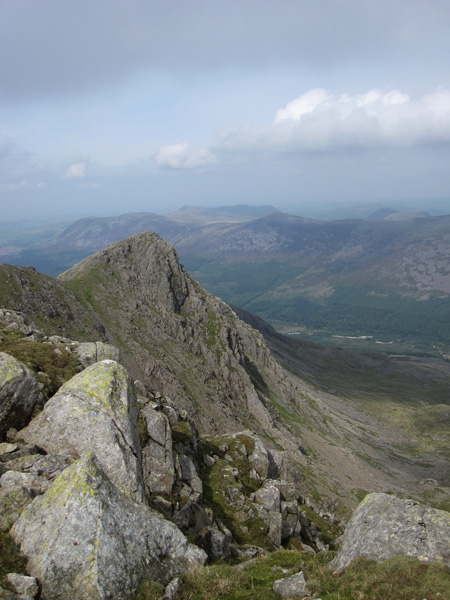
Steeple's north ridge
Steeple's north ridge
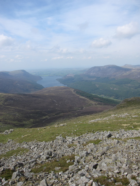
A heather covered Lingmell and Ennerdale Water
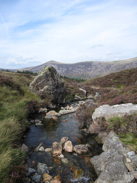
Starling Dodd from Low Beck
Looking back up at Steeple's north ridge with Pillar behind
The steep descent off Lingmell back into Ennerdale
Previous Walk: A sunset walk to Angle Tarn (Fri 3 Sep 2010)