Scafell Pike plus from Seathwaite
Wed 30 Jun 2010
Route: Seathwaite, Borrowdale - Stockley Bridge - Grains Gill - Esk Hause - Calf Cove - Great End - Ill Crag - Broad Crag - Scafell Pike - Lingmell - Corridor Route - Sty Head - Styhead Tarn - Taylorgill Force - Seathwaite
Distance: 10.25 miles
Ascent: 3,650ft
Time: 6 hours 5 minutes
With: On own
Notes:
Blue sky, sunshine, scattered clouds, not much wind

© Crown copyright. All rights reserved. Licence number AL100038401
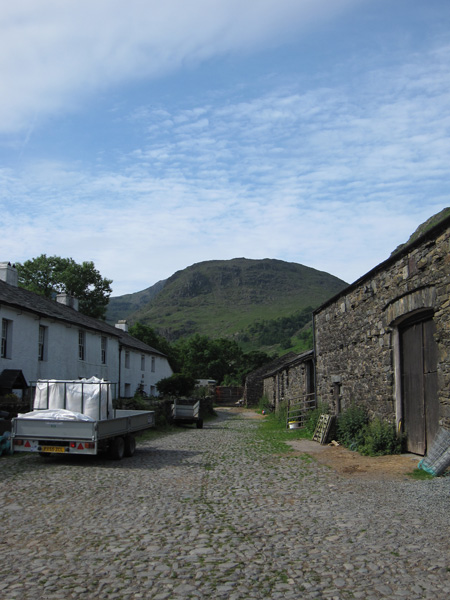
Seathwaite Farm, Borrowdale
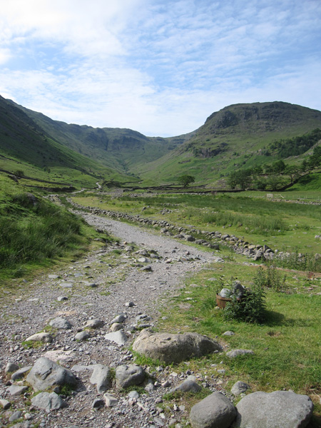
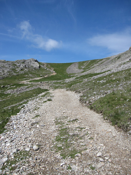
The main track out of Seathwaite
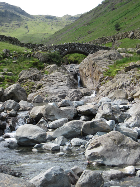
Stockley Bridge
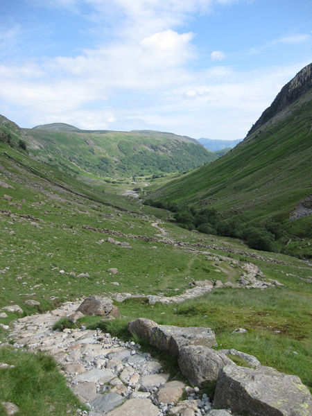
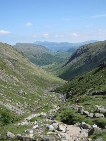
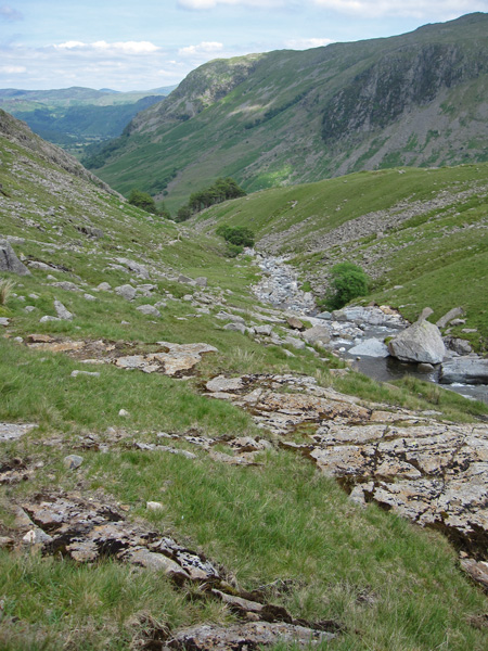
Looking back down Grains Gill
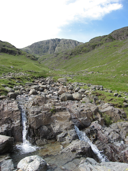
Up towards Great End

The footbridge across Grains Gill
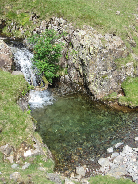
An inviting pool
Grains Gill becomes Ruddy Gill
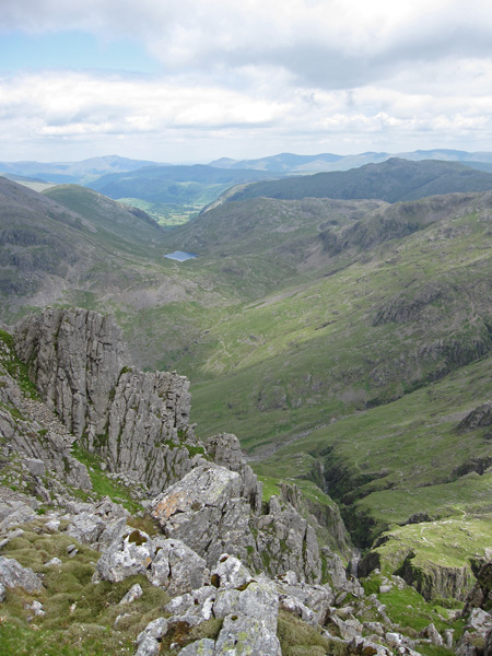
The view north with Skiddaw in the far distance
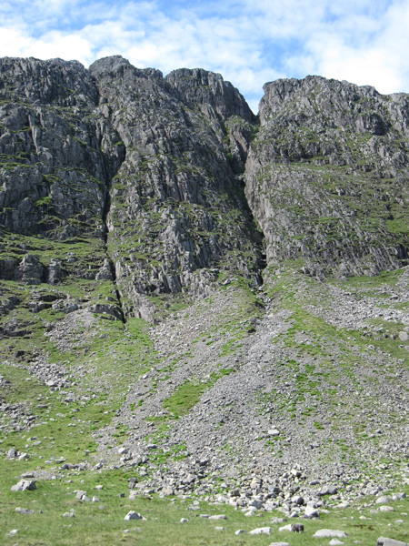
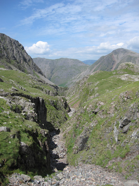
South-East and Central gullies on Great End
Great Gable and Green Gable
Great Gable plus and Sprinkling Tarn from the Esk Hause path
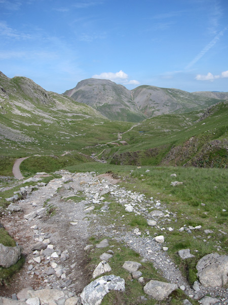
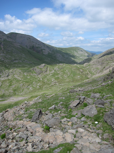
Calf Cove
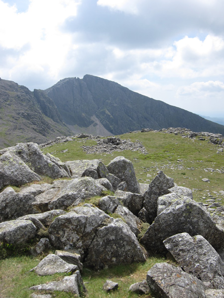
Esk Pike with Bowfell behind from Great End's summit
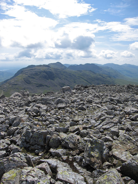
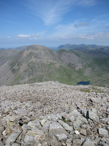
Ill Crag and Broad Crag with Scafell Pike behind from Great End
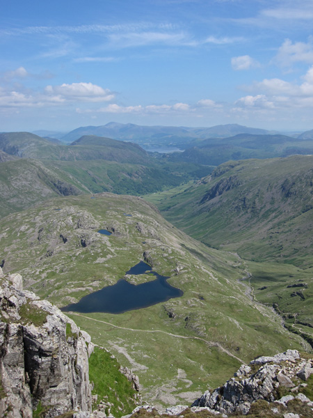
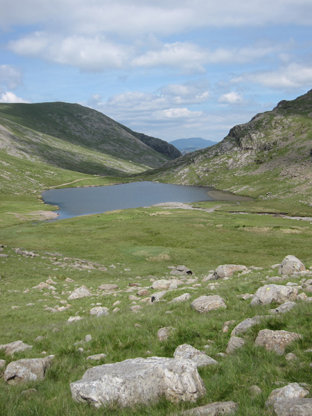
Sprinkling Tarn below
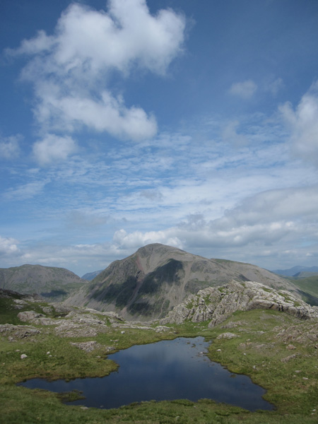
Great Gable and Styhead Tarn
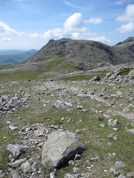
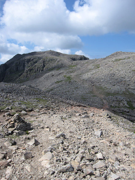
Ill Crag ahead

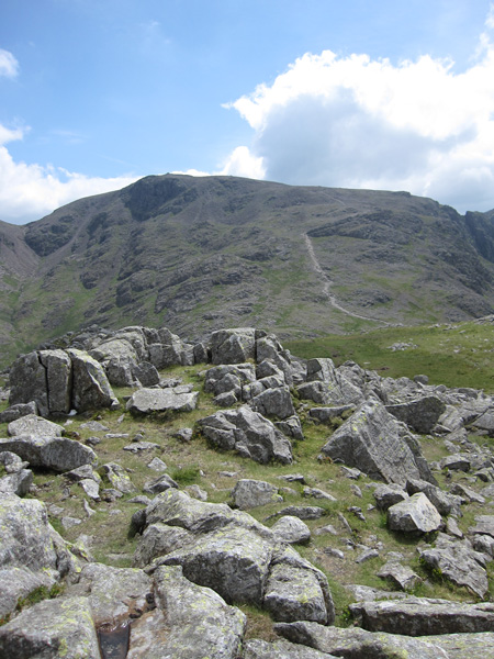
Broad Crag with the top of Scafell Pike above
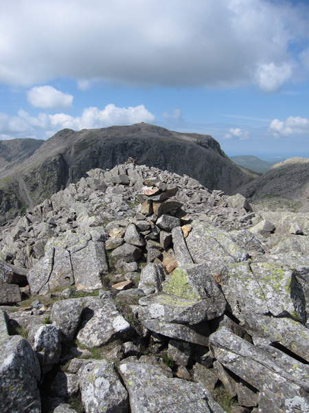
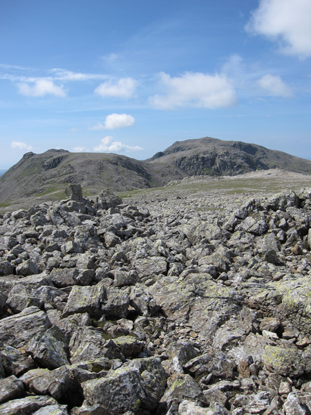
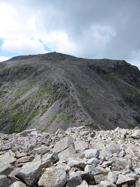
Scafell Pike from Ill Crag's summit
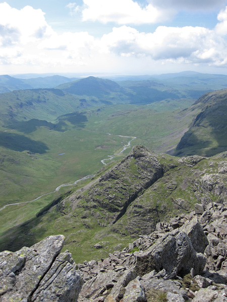
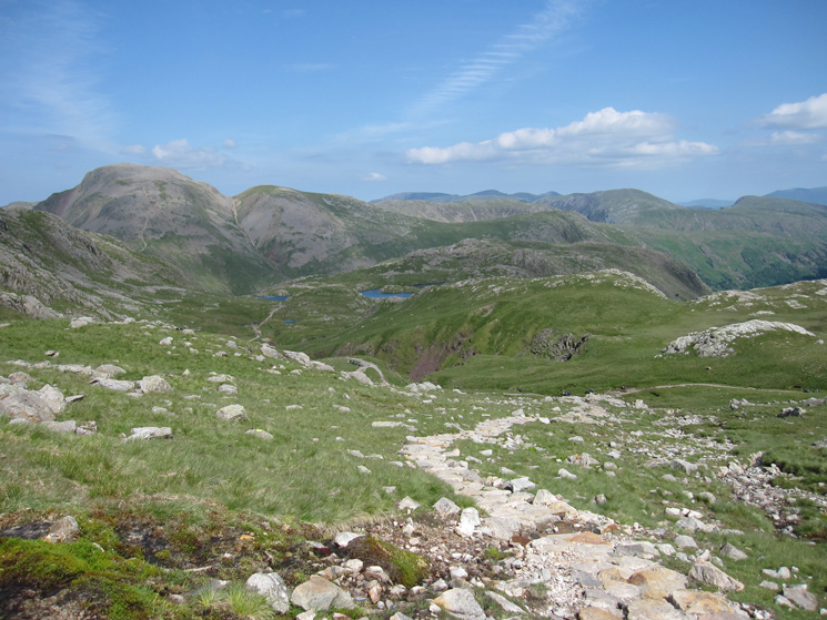
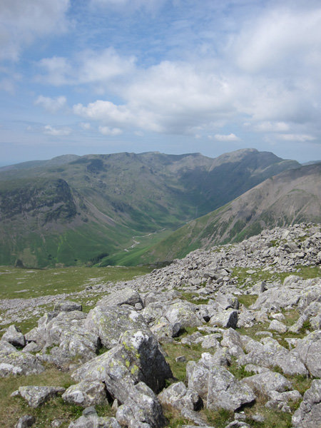
Pen and Great Moss below
The highway to Scafell Pike
The last climb to Scafell Pike's summit
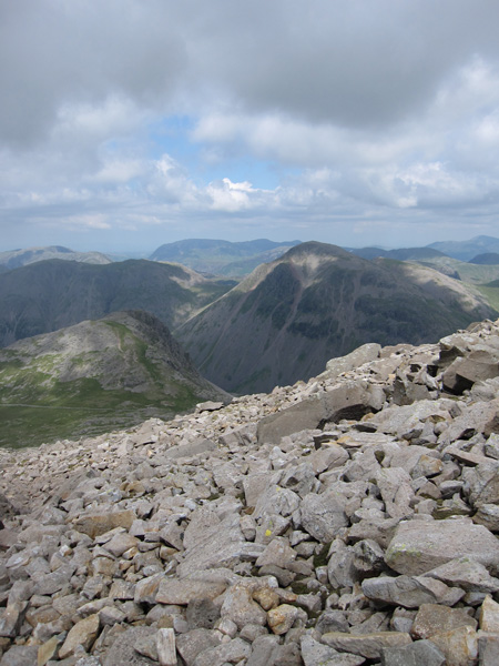
Lingmell and Great Gable from the descent off Scafell Pike
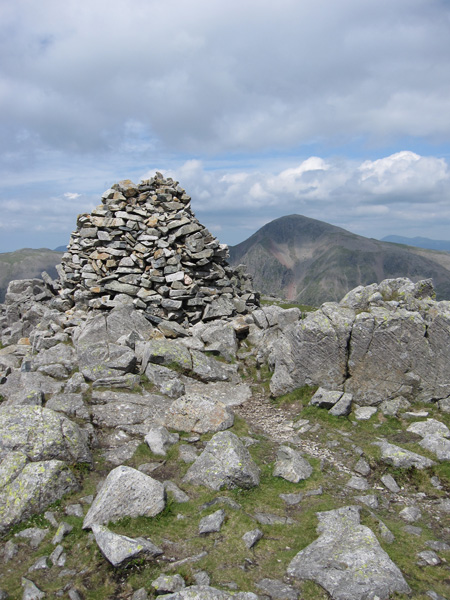
Lingmell's summit cairn and Great Gable
North from Lingmell
Scafell from Lingmell
Scafell Pike from Lingmell
Mosedale from Lingmell
The top of Piers Gill
Great Gable from the Corridor Route
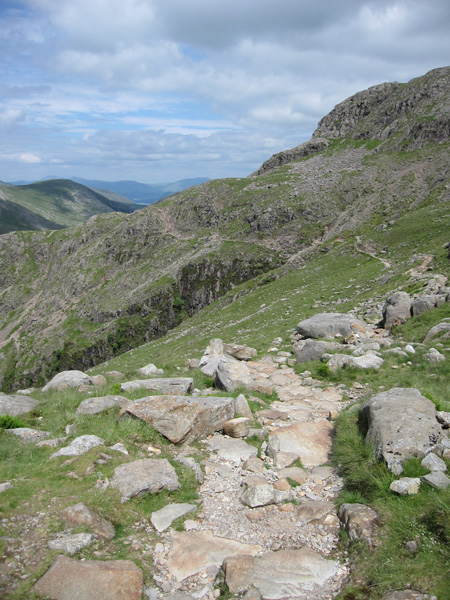
The Corridor Route
The Corridor Route as I head for Sty Head
Styhead Tarn
Styhead Gill
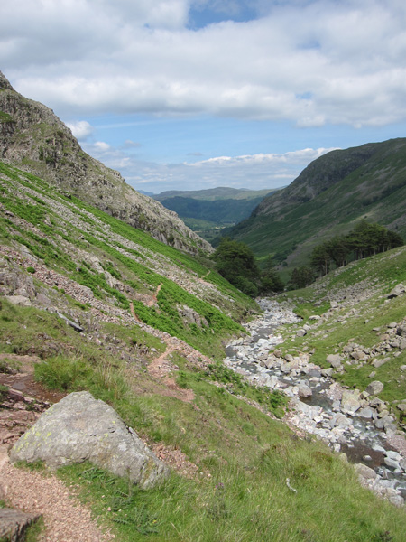
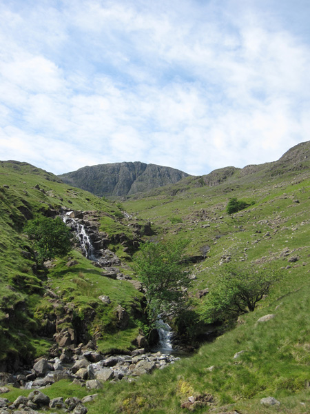
Styhead Gill above Taylorgill Force
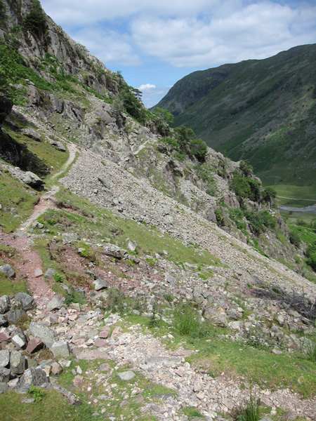
The path to Seathwaite, a quieter one than the main route via Stockley Bridge
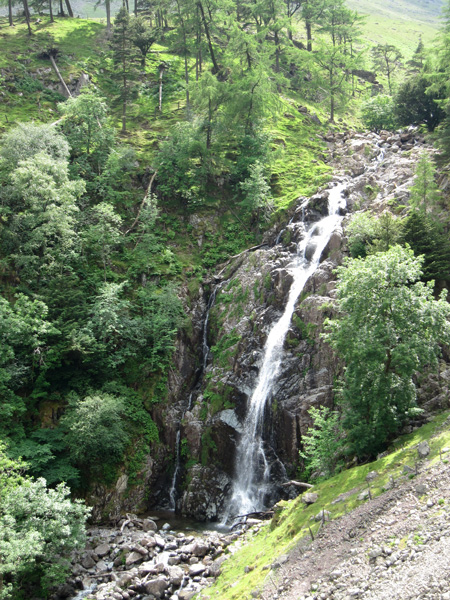
Taylorgill Force
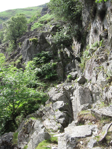
Looking back at a short scrambling section
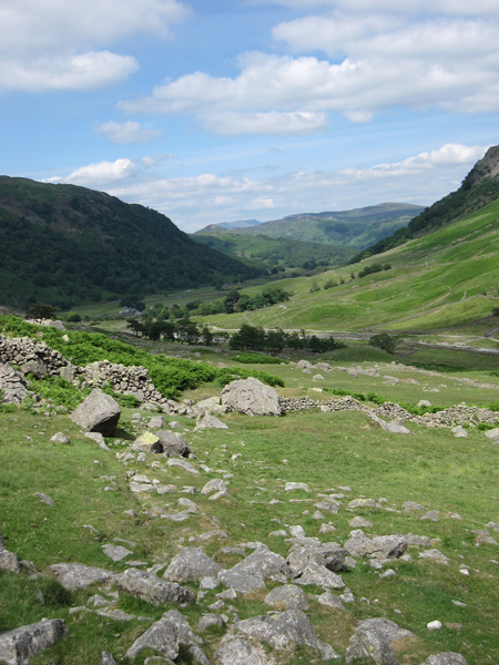
Towards Seathwaite
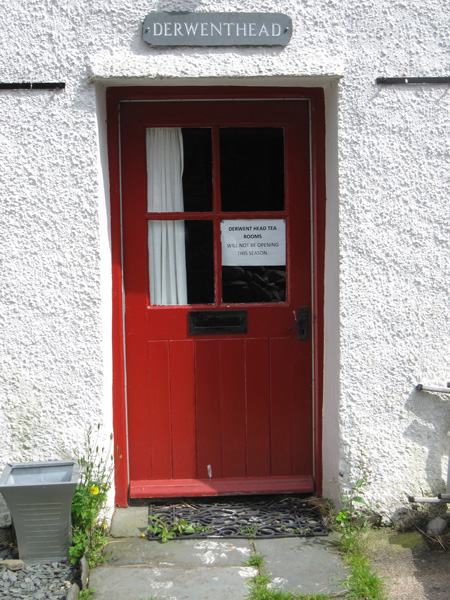
The tea rooms at Seathwaite are closed for the season. No ice cream then!
Previous Walk: Helvellyn from Swirls (Tue 22 Jun 2010)
Next Walk: Riggindale Round (Thu 29 Jul 2010)