Dollywaggon Pike to Helvellyn
Sun 17 Nov 2013
Route: Dunmail Raise - Raise Beck - Grisedale Tarn - Dollywaggon Pike - High Crag - Nethermost Pike - Swallow Scarth - Helvellyn - Swallow Scarth - Birk Side - Wythburn path - Permissive path - Dunmail Raise
Distance: 7.00 miles
Ascent: 2,700ft
Time: 3 hours 30 minutes
With: On own
Notes:
A walk in the clouds. Drizzle, becoming heavier and rain by the end. Cold in the wind.
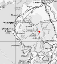
© Crown copyright. All rights reserved. Licence number AL100038401
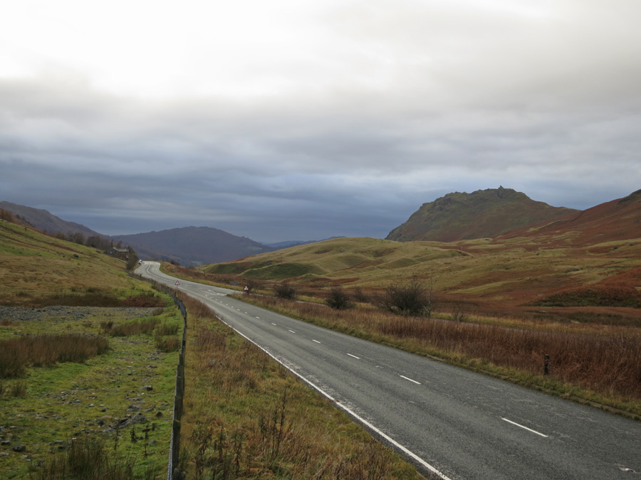
Helm Crag from Dunmail Raise

Looking back down Raise Beck to Dunmail Raise
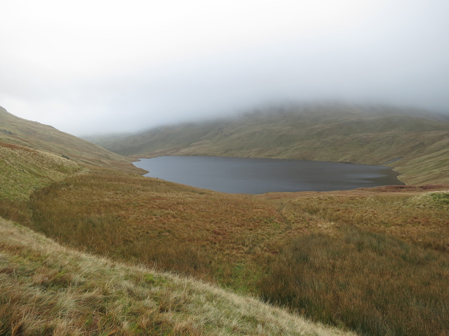
Grisedale Tarn, just below the cloud
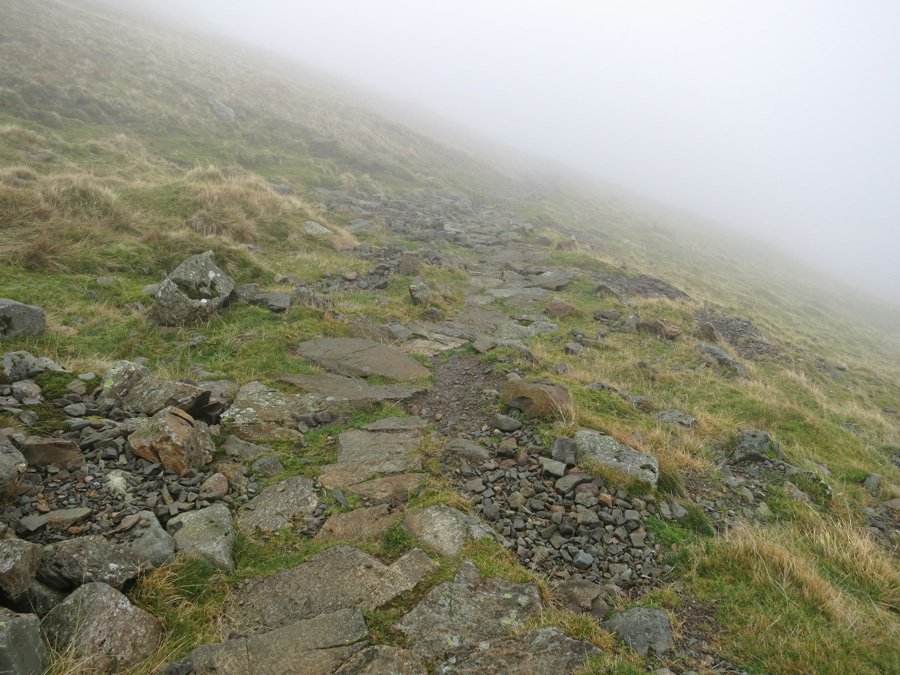
Looking down the Dollywaggon Pike zig-zags as I get into the cloud
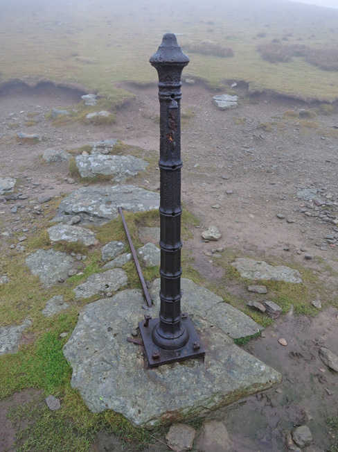
The Post, just below Dollywaggon Pike's summit, its marked on the OS map
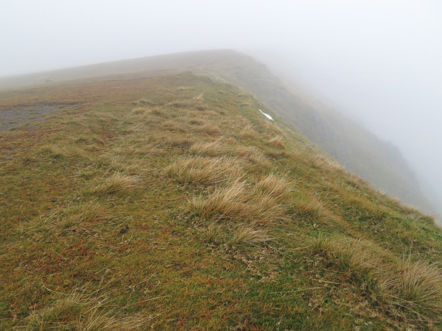
On the way to Nethermost Pike
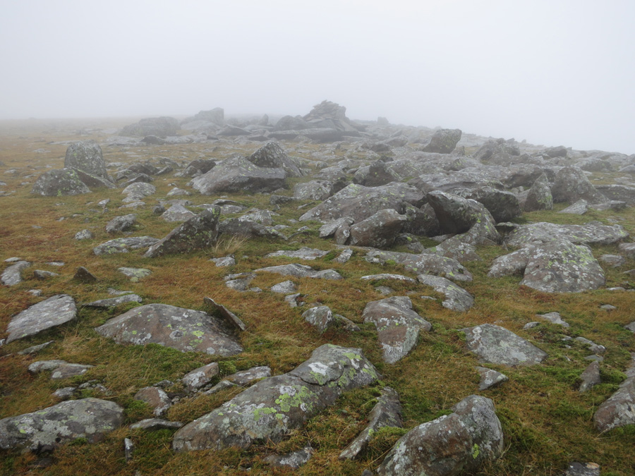
Nethermost Pike's summit
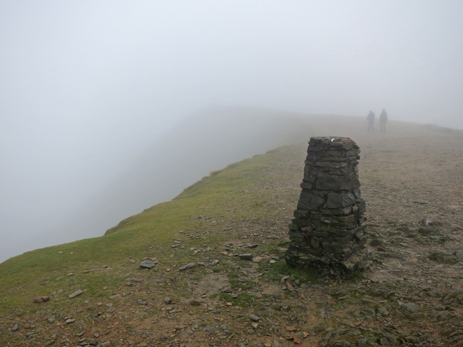
Helvellyn's summit
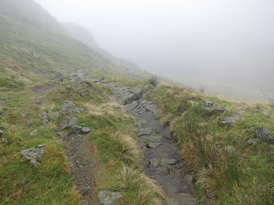
About to descend into Comb Gill as I head down towards Wythburn Church
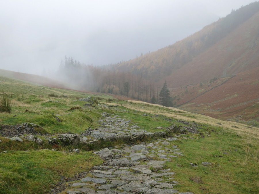
Comb Gill
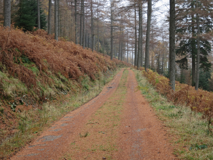
On the permissive path back to Dunmail Raise
Previous Walk: Loughrigg Fell (Sat 16 Nov 2013)
Next Walk: Skiddaw plus (Sat 23 Nov 2013)