Knipescar Common from Bampton Grange
Thu 22 May 2008
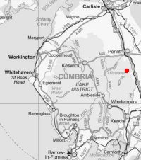
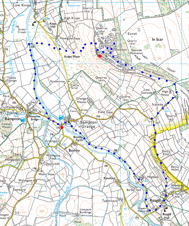
Route: Bampton Grange - Rosgill - Scarside - Knipescar Common - River Lowther - Bampton Grange
Distance: 6.00 miles
Ascent: 600ft
Time: 2 hours 5 minutes
With: On Own
Notes:
Overcast (high cloud) to start but breaking up, staying hazy
© Crown copyright. All rights reserved. Licence number AL100038401
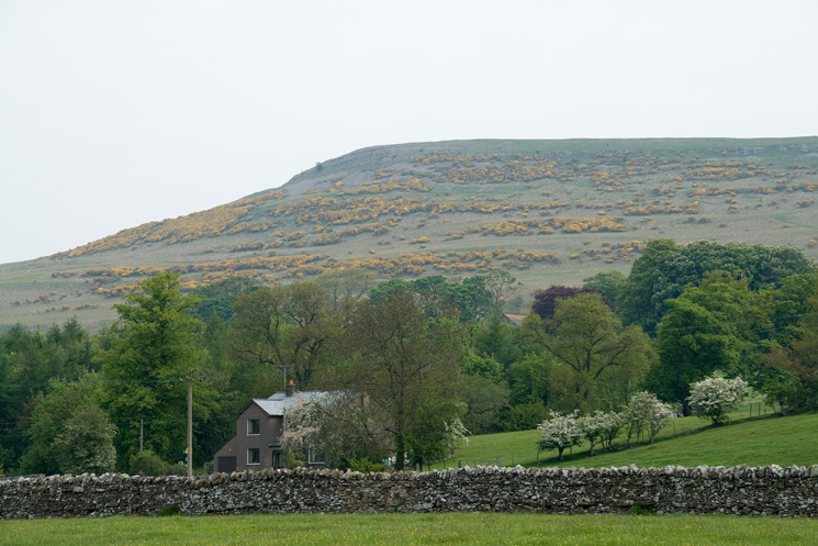
Knipe Scar from near Bampton Grange
At Hegdale between Bampton Grange and Rosgill
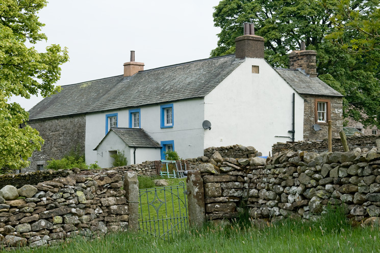
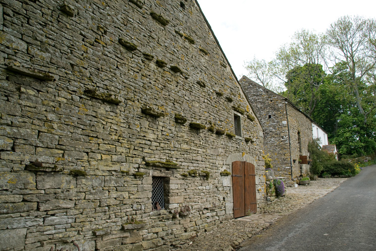
Hegdale farmhouse
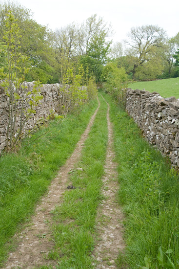
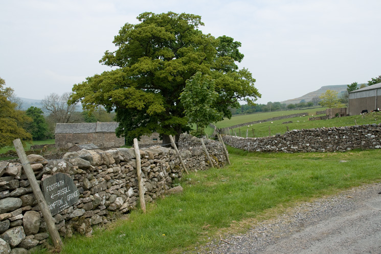
The old walled lane above Rosgill
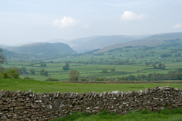
Looking towards Haweswater from the Shap - Bampton Grange road
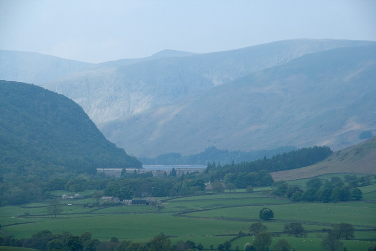
Zooming in on Haweswater Dam
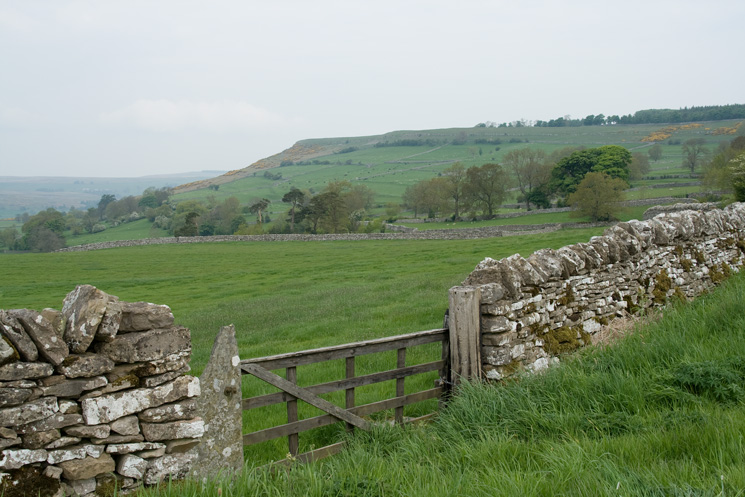
Knipe Scar from the road
Scarside
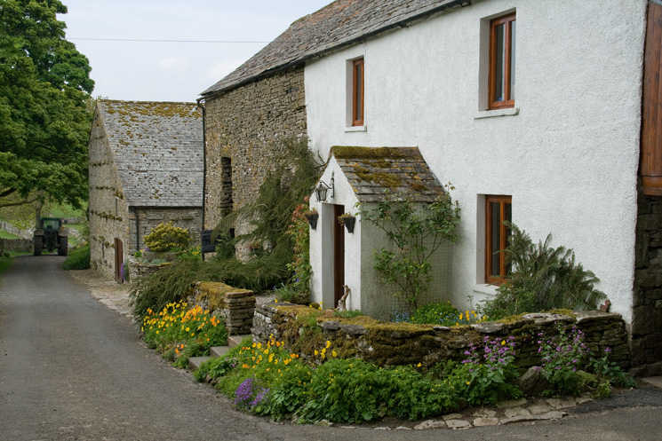
Scarside
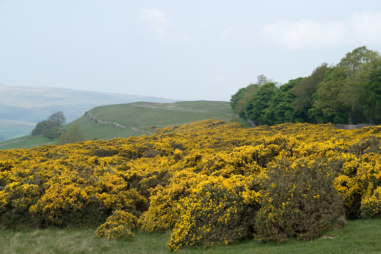
Knipescar Common

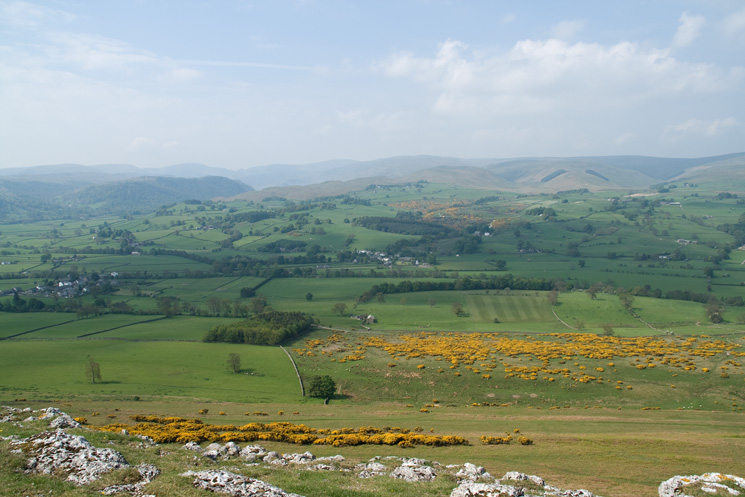
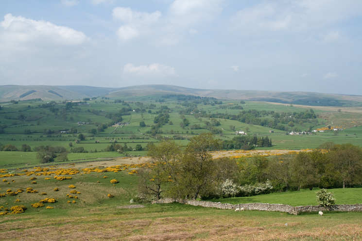
The Haweswater fells from Knipescar Common
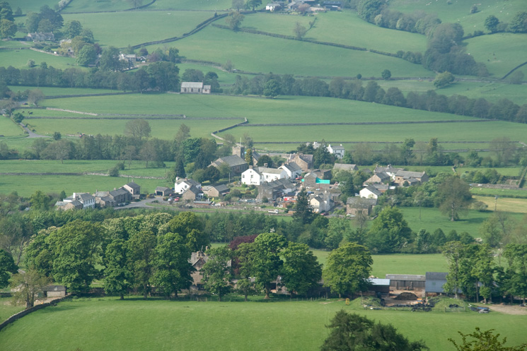
Zooming in on Bampton Grange
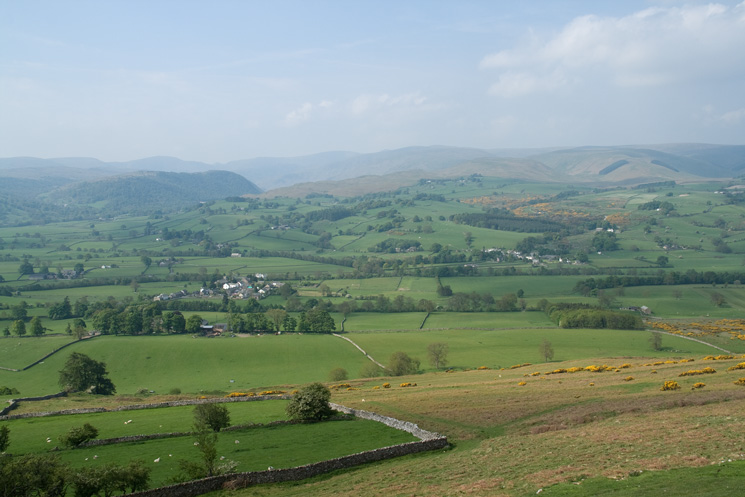
The Haweswater fells from Knipescar Common
Knipe Scar
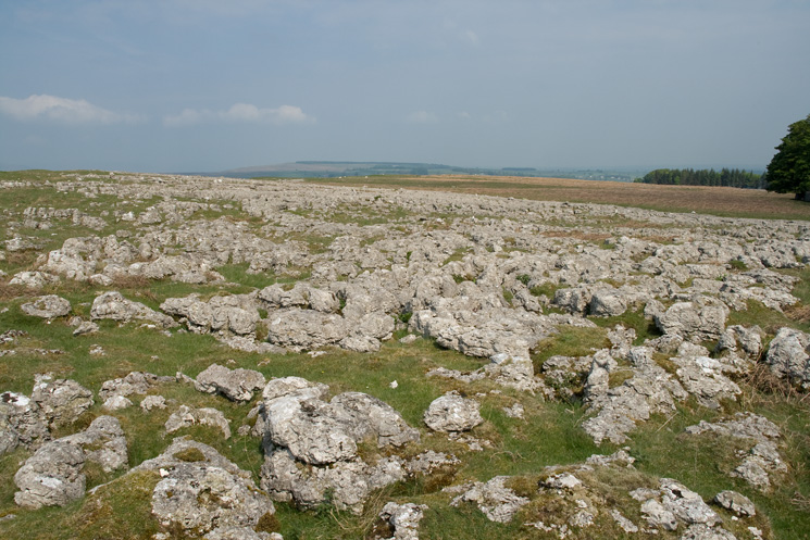
Limestone pavement on the top of Knipescar Common
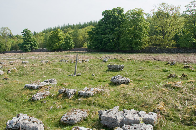
Stone Circle on Knipescar Common
The Haweswater fells from Knipescar Common's summit
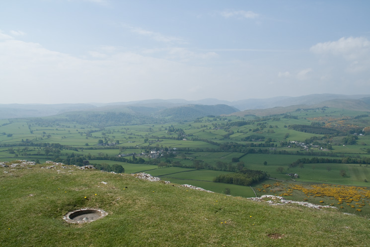
The trig point on Knipescar Common
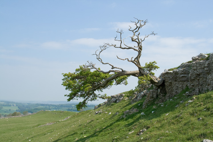
Tree at the north end of Knipe Scar
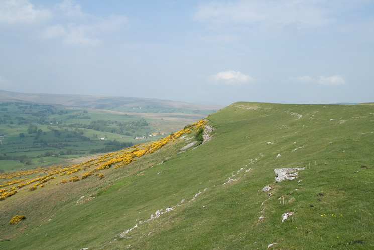
Looking across to Loadpot Hill from Knipe Scar
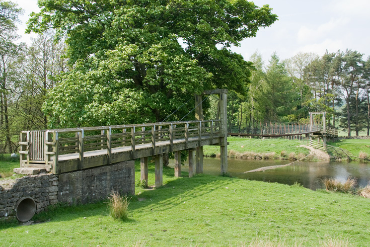
Suspension bridge across the River Lowther
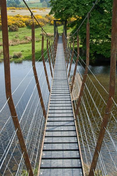
Suspension bridge across the River Lowther

Knipe Scar from beside the River Lowther
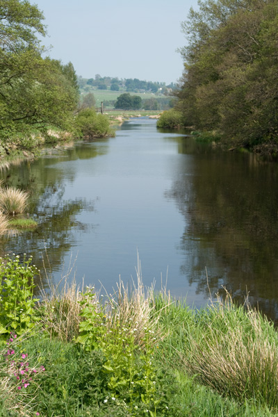
River Lowther
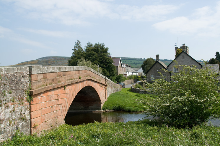
Bampton Grange with Knipescar Common in the distance
Previous Walk: Combe Gill Round (Thu 1 May 2008)
Next Walk: The Old Crown Round (Sat 24 May 2008)