High Raise from Bampton
Wed 25 Oct 2006
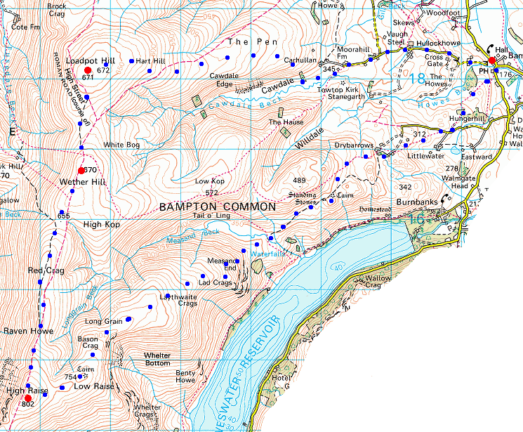
Route: Bampton - Cawdale - The Pen - Loadpot Hill - Wether Hill - Red Crag - Redcrag Tarn - Raven Howe - High Raise - Low Raise - Long Grain - Measand End - Measand Beck - standing stones - Four Stones Hill - Drybarrows - Bampton
Distance: 12.75 miles
Ascent: 2,700ft
Time: 5 hours
With: On Own
Notes:
Overcast high cloud made it a grey day but the tops were all clear and the forecasted rain arrived after I had finished.
© Crown copyright. All rights reserved. Licence number AL100038401
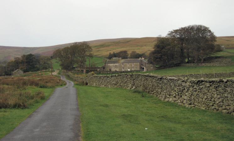
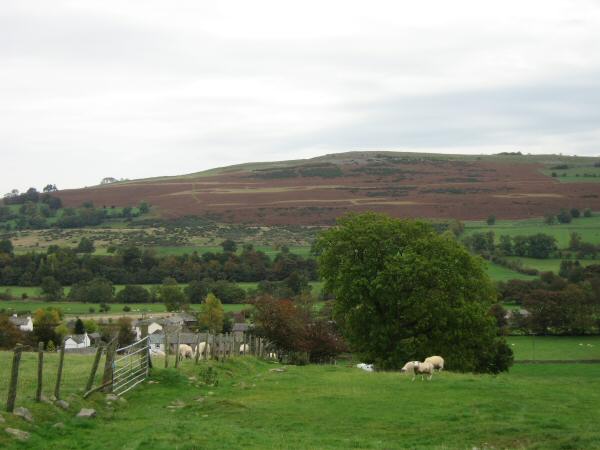
Moorahill Farm with The Pen leading to Loadpot Hill directly behind
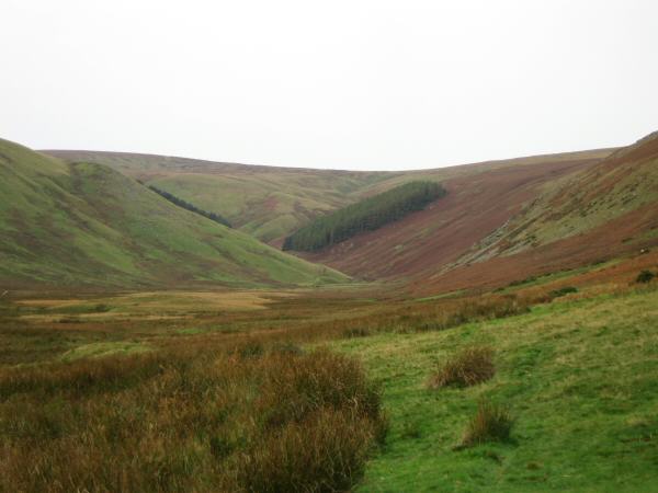
Cawdale
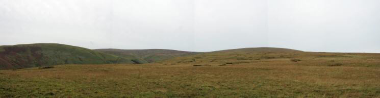
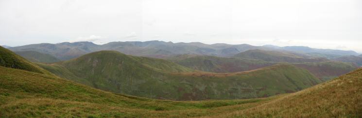
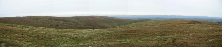
Panorama of grass from The Pen
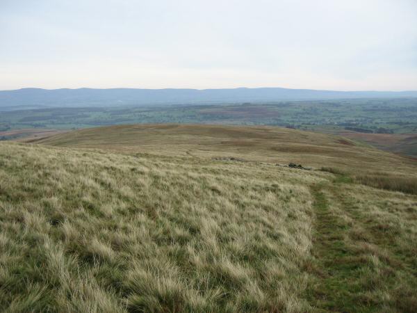
Looking back down on The Pen with the North Pennines in the distance from Loadpot Hill
The northern fells from Loadpot Hill's summit
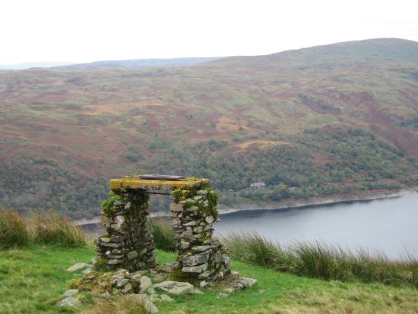
The view south from all that remains of Lowther House. The highest point on the skyline is High Raise.
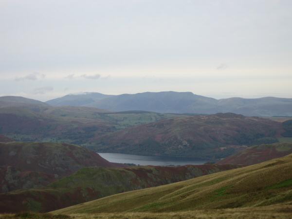
A glimpse of Ullswater with Blencathra on the skyline and a touch of cloud on Skiddaw (left)
High Raise, Rampsgill Head and The Knott from Red Crag
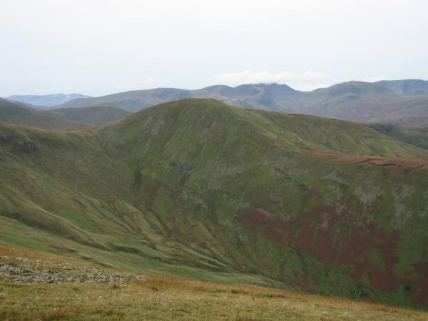
Rest Dodd with the Fairfield fells behind
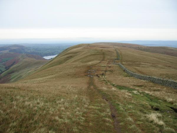
Looking back north down the ridge from my ascent of High Raise. The path follows the line of High Street the old roman road
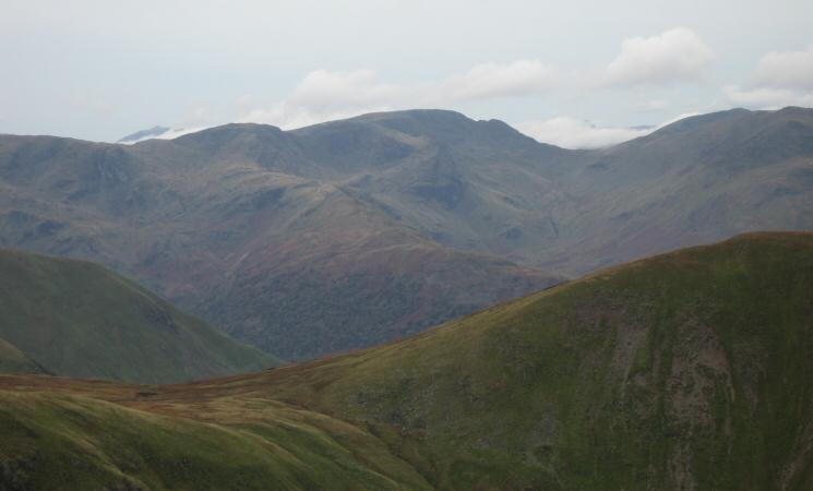
Rest Dodd and The Nab with Fairfield, the Helvellyn range, Skiddaw and Blencathra on the skyline
Zooming in on Fairfield
Kidsty Pike (not looking like a pike from this angle) with Mardale Ill Bell and High Street behind from High Raise's summit
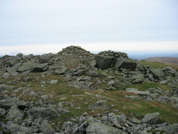
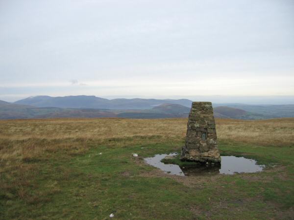
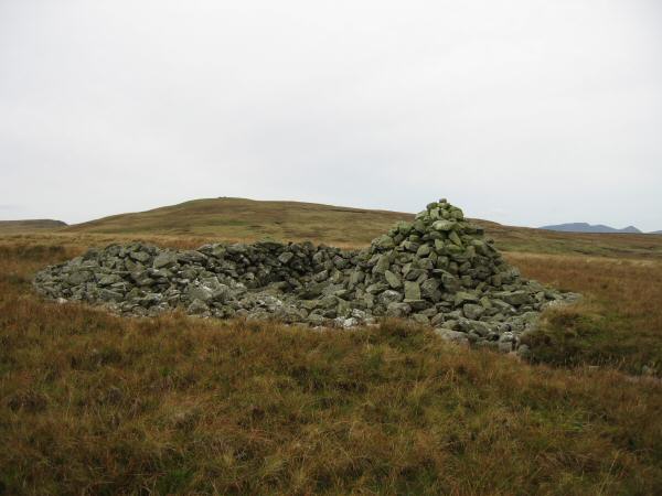
High Raise (Martindale)'s summit
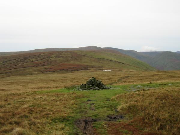
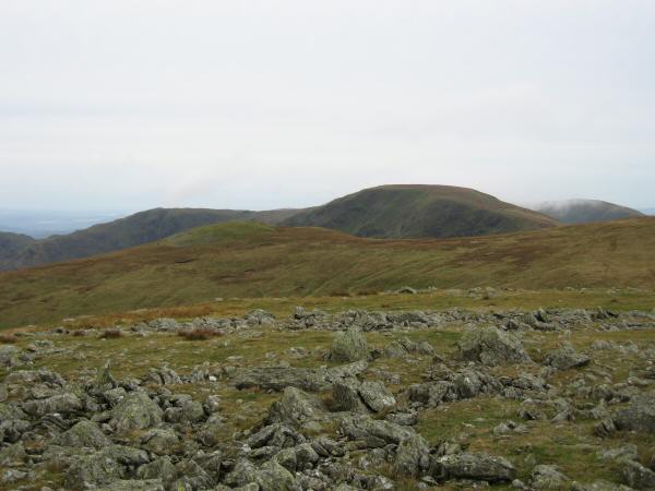
Looking back to High Raise from Low Raise
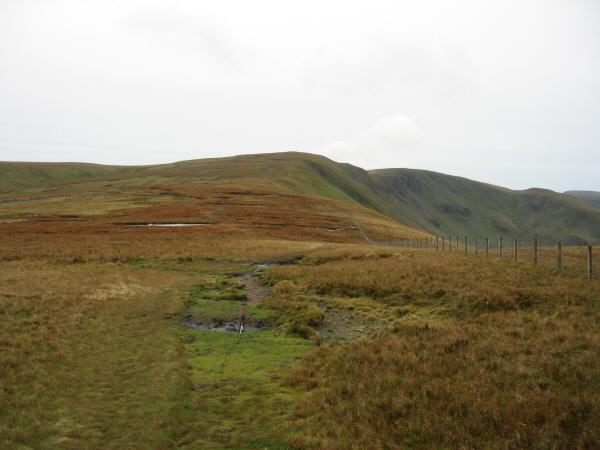
Red Crag, Keasgill Sike, High Kop (Wether Hill) and Long Grain with the quad bike tracks I followed to Measand End
The remains of a survey point above Lad Crags. The Haweswater Hotel can be seen on the far side of the reservoir
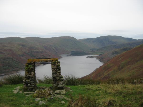
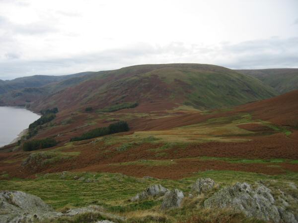
Haweswater with Branstree and Harter Fell at its head

Bampton Fell (unnamed on the OS map) and Haweswater from Measand End
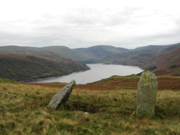
Haweswater from the standing stones next to Four Stones Hill
Looking back towards Measand End and Long Grain from Four Stones Hill
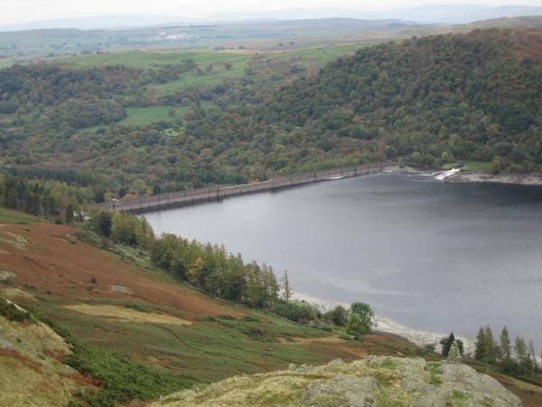
Haweswater dam from Four Stones Hill
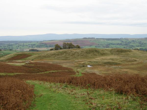
The path heading to Drybarrows with Cross Fell the high point on the skyline
Knipescar Common from above Bampton
Previous Walk: Walla Crag (Sat 21 Oct 2006)
Next Walk: Troutbeck Tongue (Sat 28 Oct 2006)