Troutbeck Tongue
Sat 28 Oct 2006
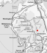
Route: Troutbeck Church - above Limefitt Park - Long Green Head - south ridge - Troutbeck Tongue - slate bridge - Troutbeck Park Farm - Hagg Bridge - Ing Bridge - Ing Lane - A592 - Troutbeck Church
Distance: 6.50 miles
Ascent: 1,050ft
Time: 2 hours 25 minutes
With: On Own
Notes:
Rain from start to finish. Very wet underfoot. Cloud down.
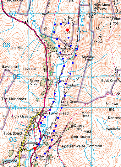
© Crown copyright. All rights reserved. Licence number AL100038401
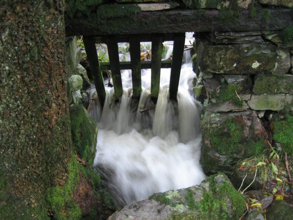
Lots of water coming off the fells after the recent heavy rain
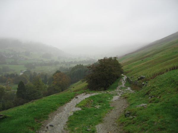
Looking up the Troutbeck valley from above Limefitt Park

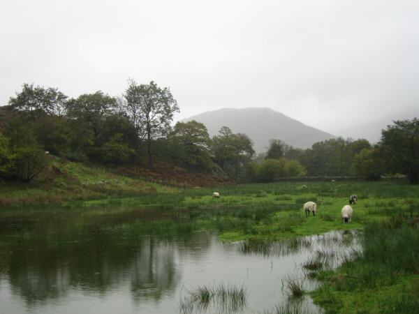
Flooded fields and Troutbeck Tongue just visible in the cloud ahead
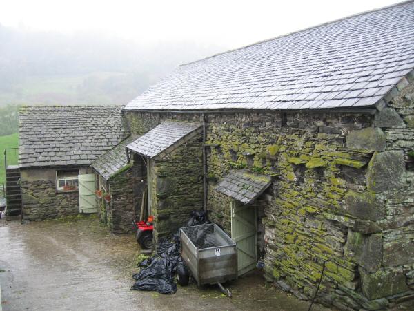
Farm building, Long Green Head
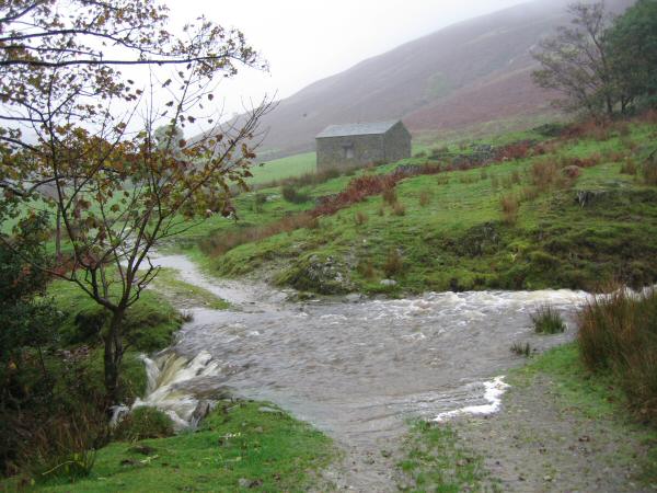
Ford, above boot depth!
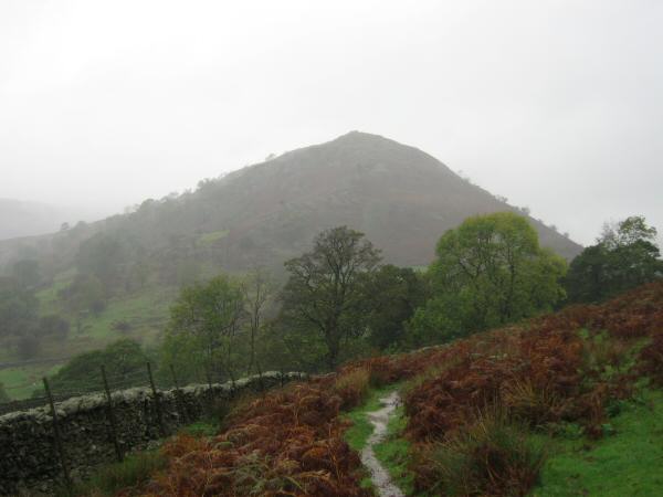
Troutbeck Tongue
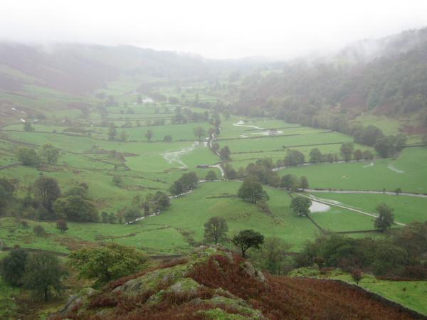
The Troutbeck valley from my ascent of Troutbeck Tongue
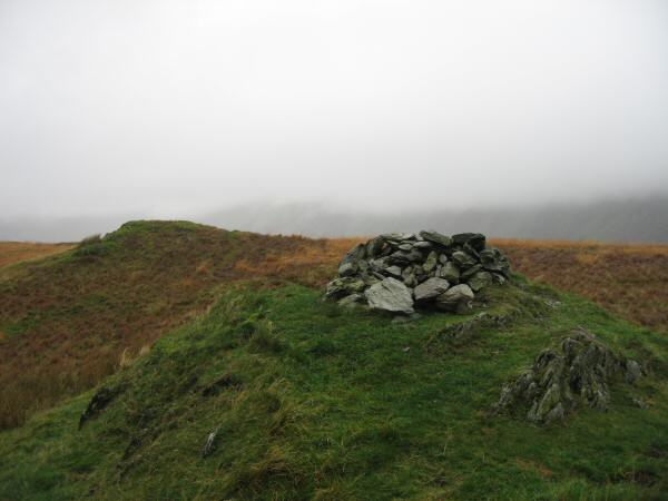
Troutbeck Tongue summit
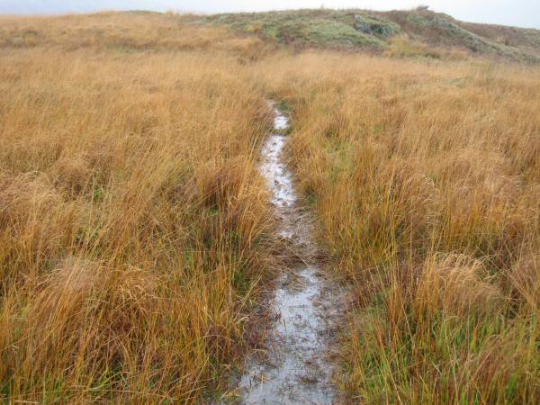
The path leaving the summit northwards
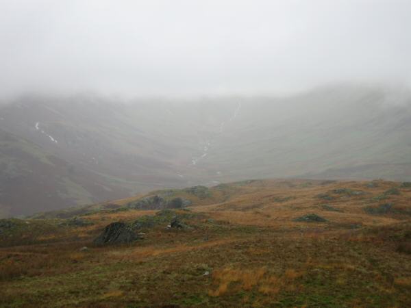
The view north towards Threshthwaite Mouth
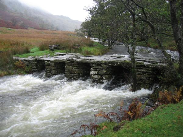
Slate bridge across Trout Beck
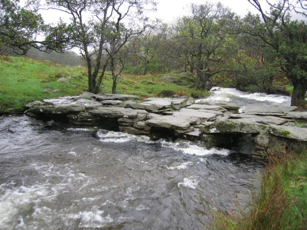
Slate bridge across Trout Beck
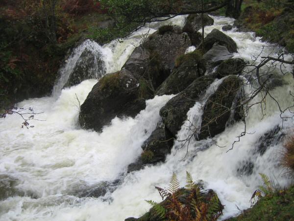
Trout Beck in full flood
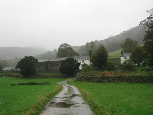
Troutbeck Park Farm
Looking back towards Troutbeck Tongue from Ing Lane
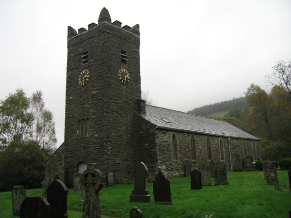
Troutbeck Church
Previous Walk: High Raise from Bampton (Wed 25 Oct 2006)
Next Walk: Newlands: Catbells to Ard Crags (Sun 29 Oct 2006)