Fellbarrow and Low Fell
Sat 19 Aug 2006
Route: Loweswater car park - old road to Mosser - Fellbarrow - Smithy Fell - Low Fell - Low Fell (south top) - Darling Fell - old road to Mosser - Loweswater - Loweswater car park
Distance: 5.25 miles
Ascent: 1,600ft
Time: 2 hours 20 minutes
With: On Own
Notes:
Overcast with showers
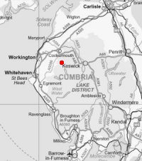
© Crown copyright. All rights reserved. Licence number AL100038401
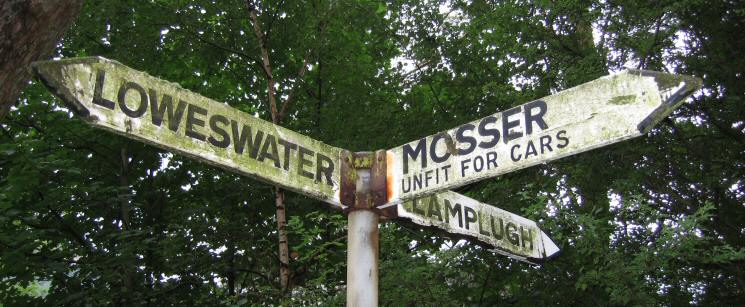
Sign post at the start of the Mosser road
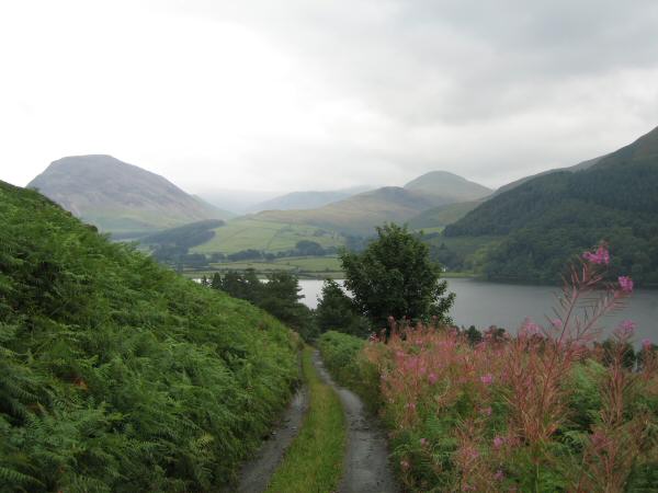
Mellbreak on the left and Hen Comb just right of centre from the old road to Mosser
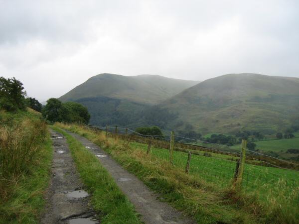
Carling Knott and Burnbank Fell from the old road to Mosser
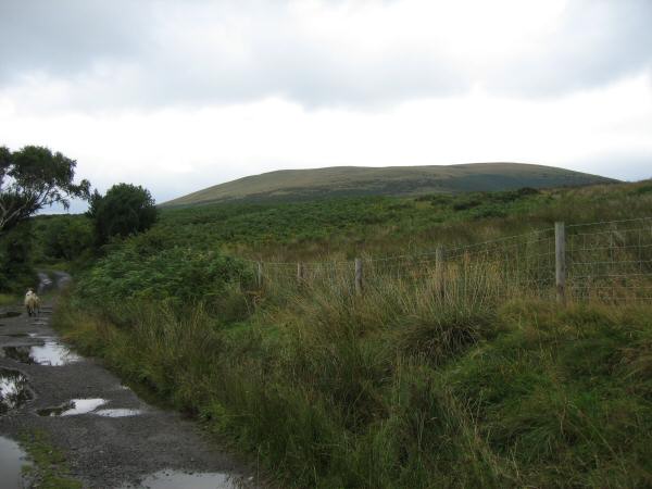
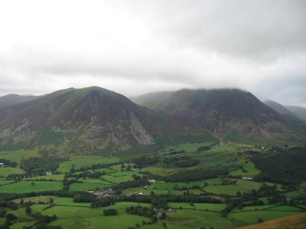
Fellbarrow from the old road to Mosser
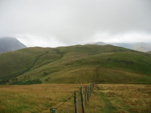
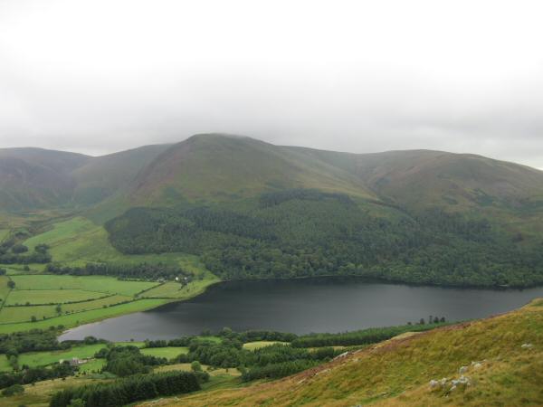
Looking south towards Low Fell from Fellbarrow
Fellbarrow from near Watching Crag
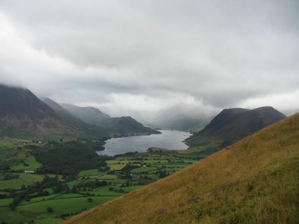
Crummock Water
Whiteside and Grasmoor from Low Fell
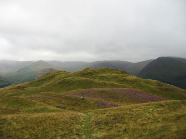
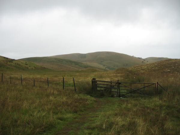
Low Fell's southern and lower top
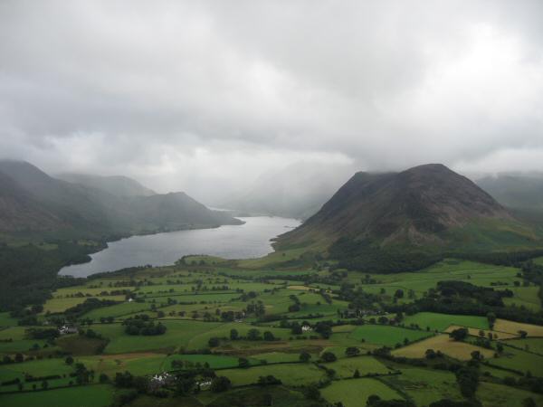
Crummock Water and Mellbreak from Low Fell's southern top
Carling Knott from Low Fell's southern top
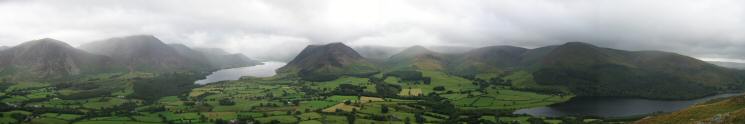
Southerly panorama from Low Fell's southern top
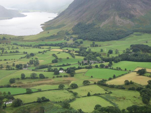
Looking down on Loweswater's church (centre of photo)
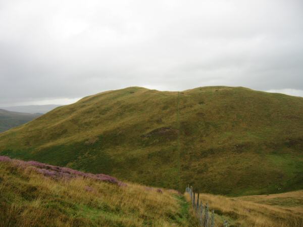
Darling Fell from Low Fell
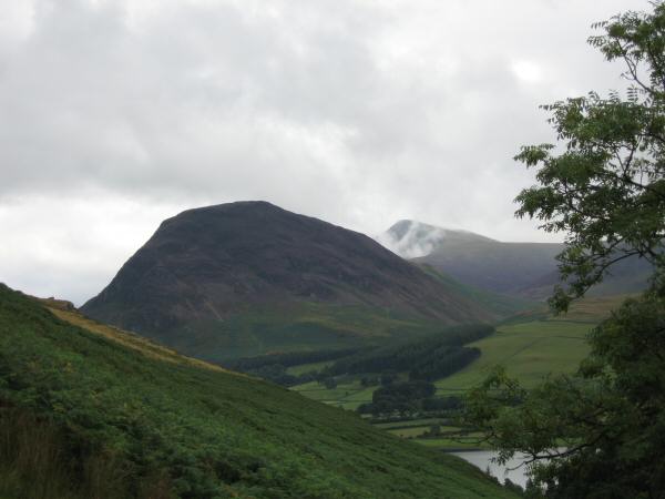
Mellbreak with Red Pike appearing out of the cloud behind
Hen Comb

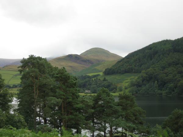
Carling Knott reflecting in Loweswater
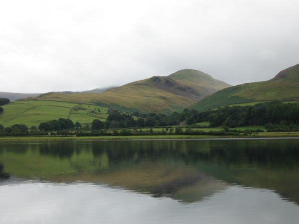
Hen Comb reflecting in Loweswater
Previous Walk: The full High Stile ridge (Sun 13 Aug 2006)
Next Walk: Helvellyn, Nethermost Pike and Dollywaggon Pike (Sun 20 Aug 2006)