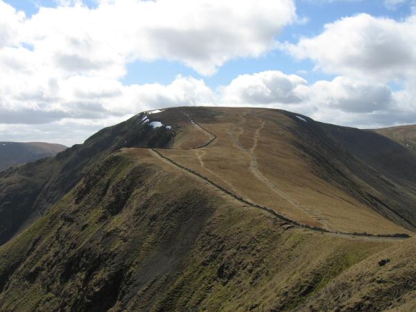
High Street from Hartsop
Sun 16 Apr 2006
Route: Hartsop - Gray Crag - Thornthwaite Crag - High Street - Straits of Riggindale - Rampsgill Head - The Knott - Rest Dodd - The Nab - Satura Crag - Brock Crags - Hartsop
Distance: 10.75 miles
Ascent: 3,750ft
Time: 5 hours 55 minutes
With: David & Jennifer Hall
Notes:
Sunshine and scattered/broken cloud, strong wind, one short shower as we headed for Rest Dodd from The Knott
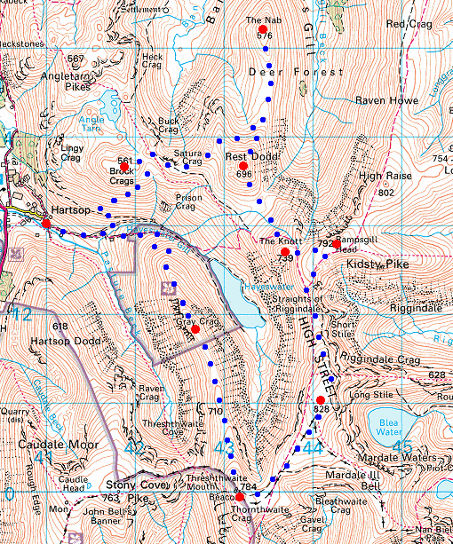
© Crown copyright. All rights reserved. Licence number AL100038401
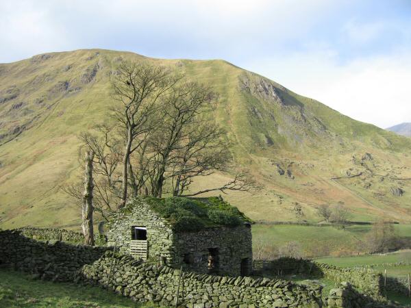
An old barn just outside the village of Hartsop with Hartsop Dodd behind
Looking across to Brock Crags with the filter house bottom right from the slopes of Gray Crag
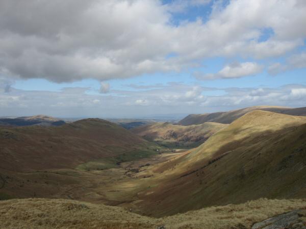
The view north west from Gray Crag
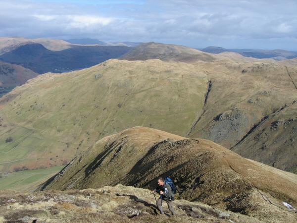
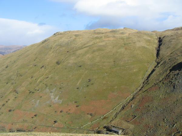
Ascending Gray Crag
Looking over Hartsop Dodd to Dove Crag, Hart Crag and Fairfield
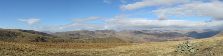
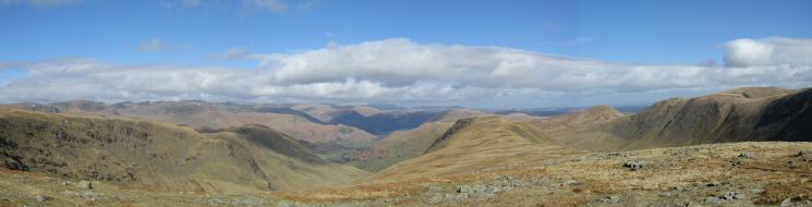
Westerly panorama from Gray Crag's summit
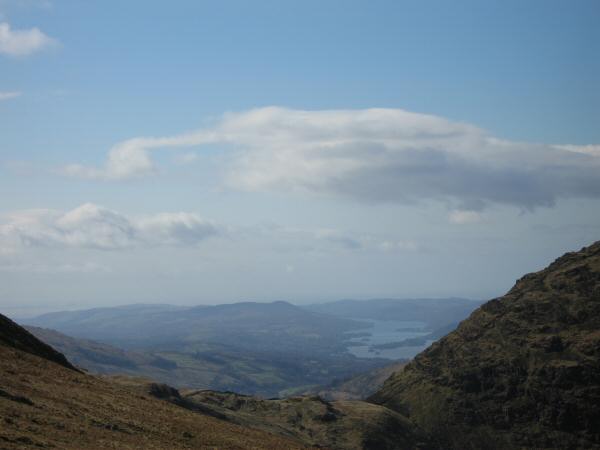
Looking through Threshthwaite Mouth to Windermere
Northerly panorama from the Gray Crag - Thornthwaite Crag ridge
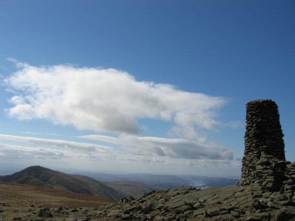
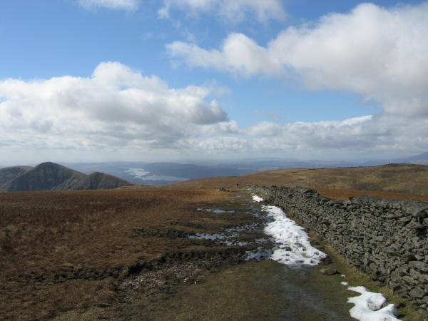
High Street from Thornthwaite Beacon
The Ill Bell ridge and Windermere from Thornthwaite Beacon
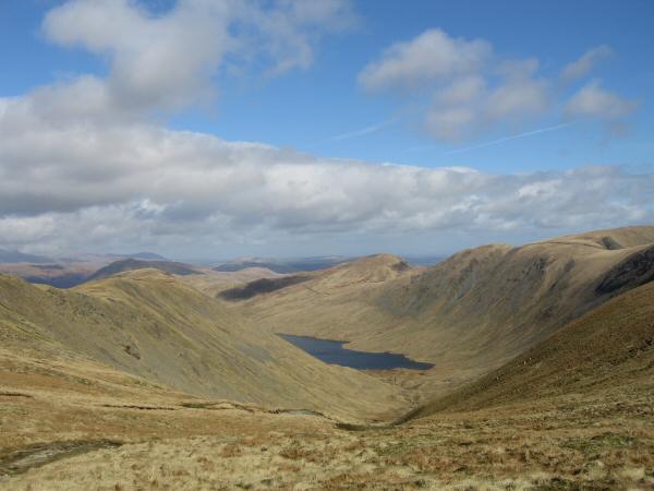
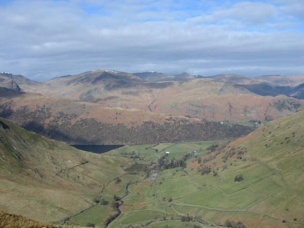
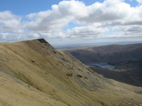
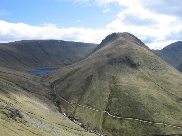
Hayswater with Gray Crag on the left, Rest Dodd behind and The Knott / The Straits of Riggindale on the right
The Ill Bell ridge (left) and Thornthwaite Beacon (right) from the wall over High Street's summit
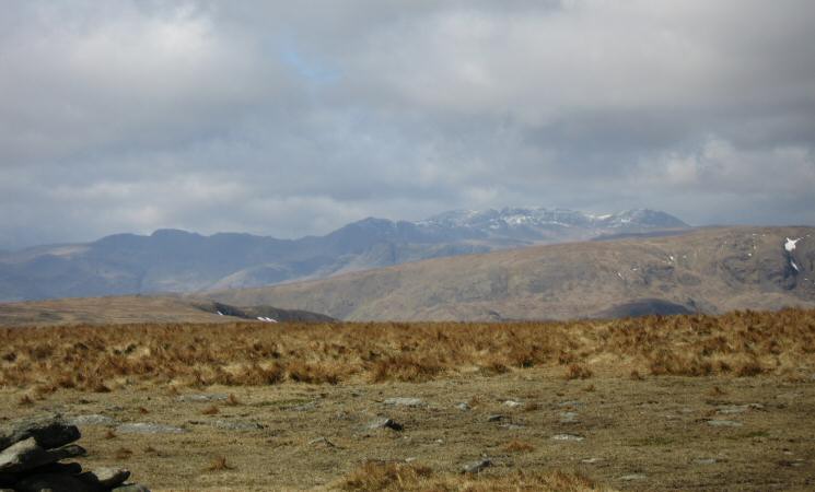
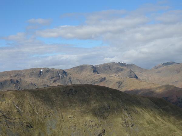
Crinkle Crags, Bowfell, the Scafells and Great End from High Street's summit
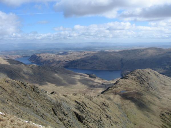
Long Stile leading to Rough Crag, Haweswater and the North Pennines in the distance from High Street
Looking back to the Straits of Riggindale and High Street
Kidsty Pike

360 Panorama from Rampsgill Head summit
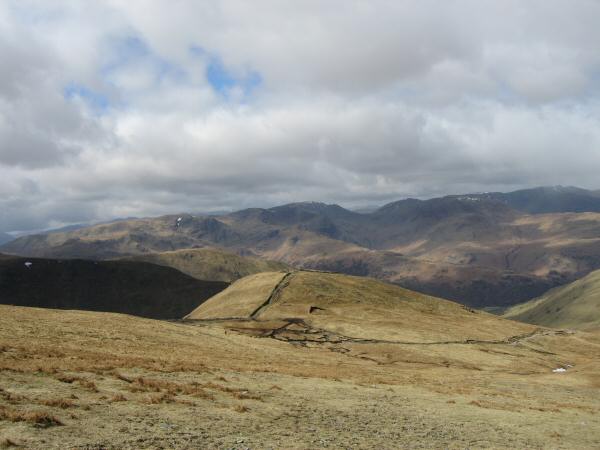
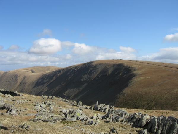
The Knott with the eastern fells behind
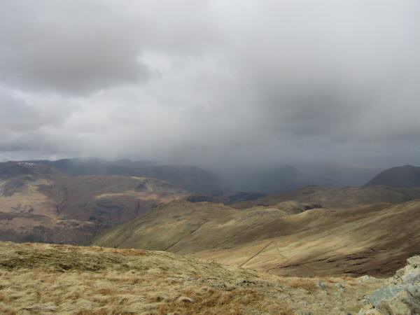
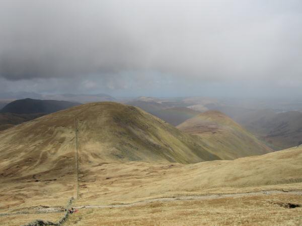
The weather closing in to the north west of us
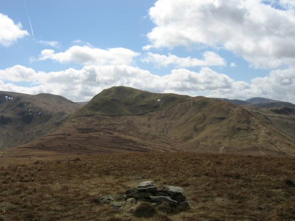
Rest Dodd and The Nab from The Knott
The Nab from Rest Dodd
Rest Dodd from The Nab's summit
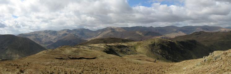
Westerly panorama from the slopes of Rest Dodd
Bannerdale
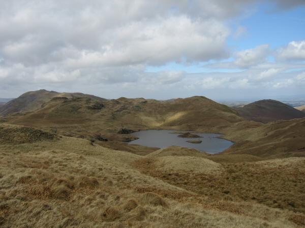
Angle Tarn from Brock Crags
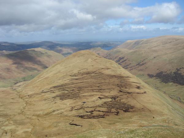
Gray Crag our first fell of the day with Hayswater and High Street on the left
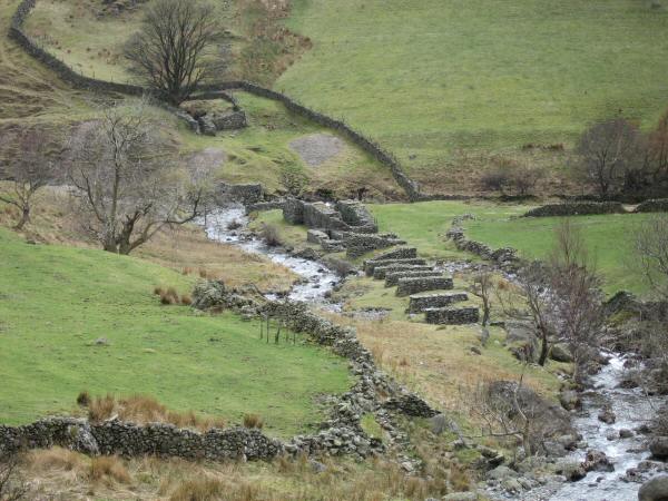
The remains of the 19th century Myers' Head Lead Mine
Previous Walk: Haycock plus from Wasdale (Sat 15 Apr 2006)
Next Walk: Wansfell (Sat 22 Apr 2006)