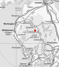
Grange Fell
Sat 14 Jan 2006
Route: Grange in Borrowdale - Troutdale - Grange Fell (King's How) - Grange Fell (Brund Fell) - Watendlath Tarn - Watendlath - Lodore Falls - Grange in Borrowdale
Distance: 5.75 miles
Ascent: 1,400ft
Time: 3 hours 20 minutes
With: Anne
Notes:
Broken cloud and some sunshine. Mild, light winds, very wet underfoot.
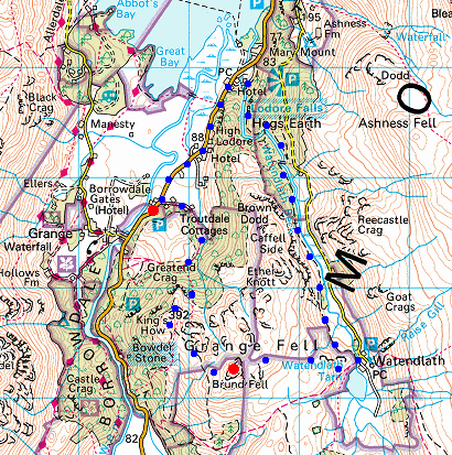
© Crown copyright. All rights reserved. Licence number AL100038401
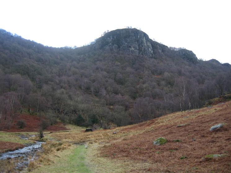
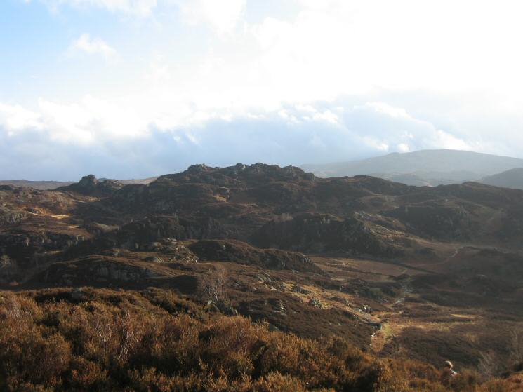
Black Crag, Troutdale
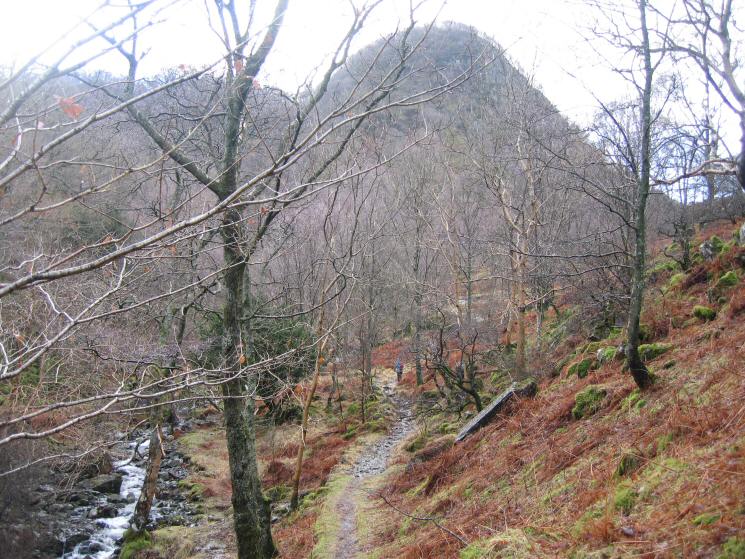
Path through the woods with Greatend Crag ahead
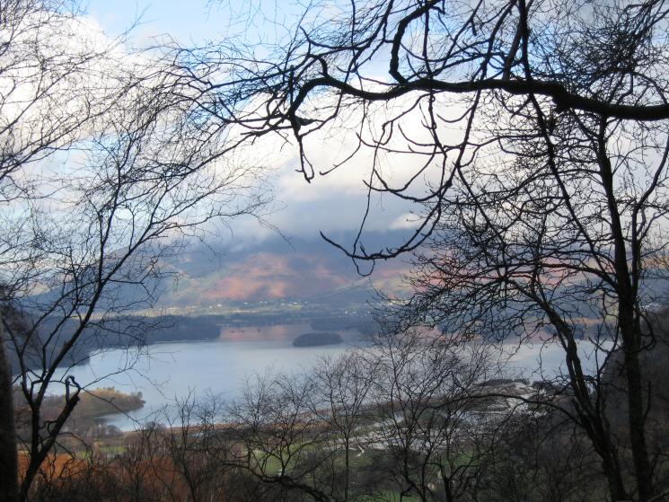
Derwent Water through the trees on the ascent of Grange Fell
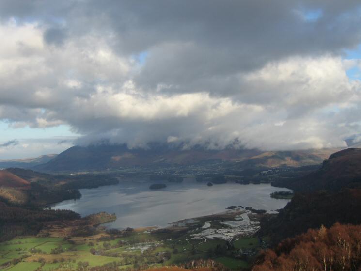
Derwent Water with Skiddaw in cloud from King's How
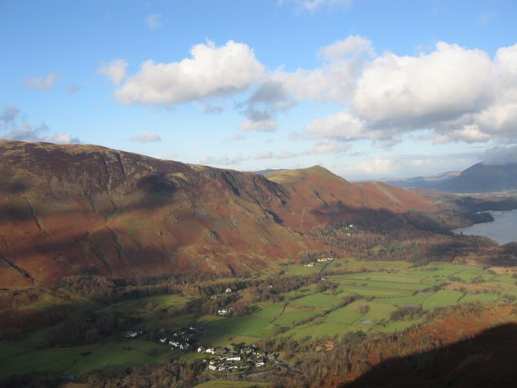
Looking down on Grange from King's How
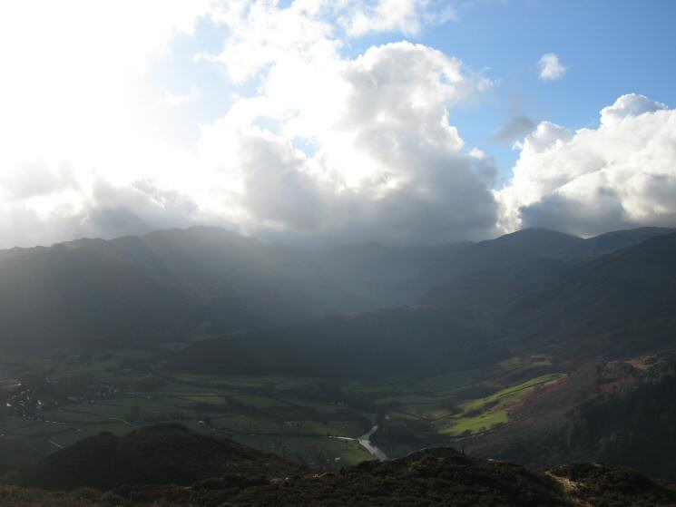
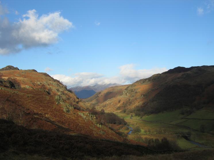
Looking south up Borrowdale
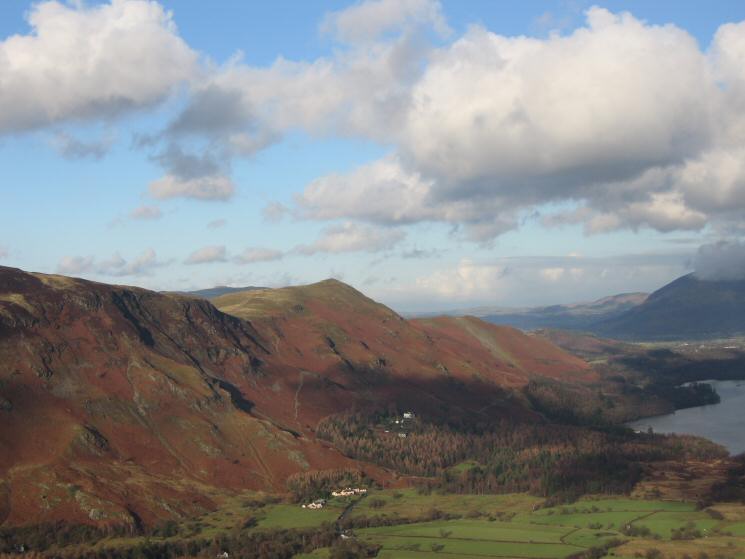
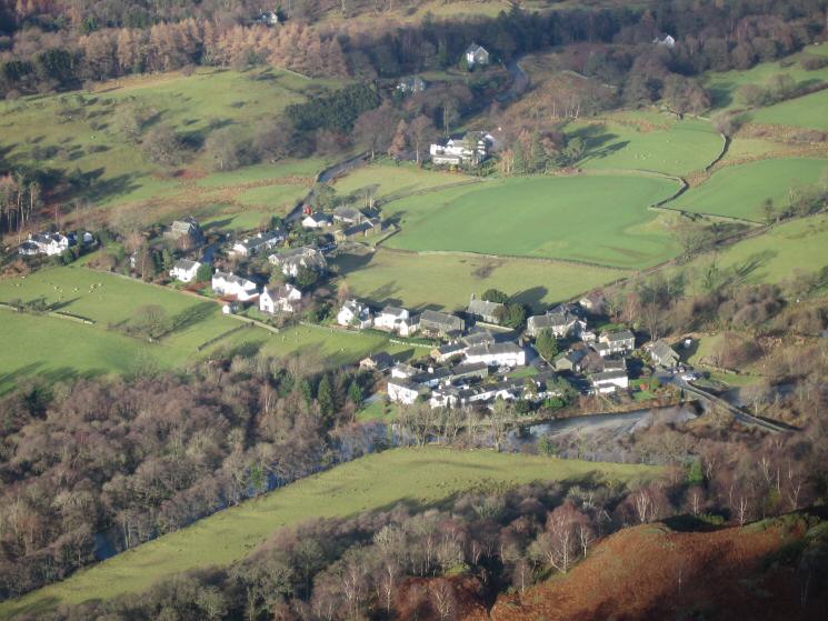
The pink houses of Manesty with Catbells behind
The Maiden Moor and Catbells ridge above Grange
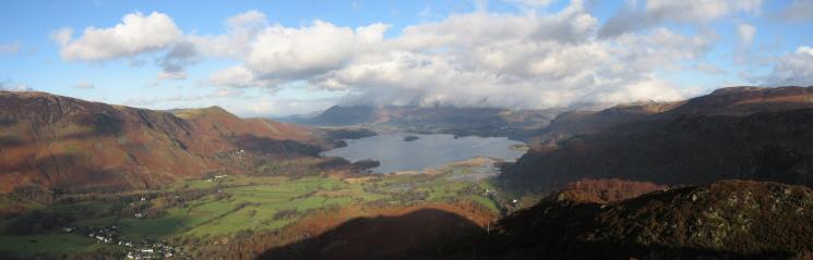
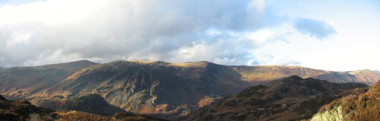
Northerly panorma from King's How (Grange Fell) summit
Looking across to Brund Fell (the highest part of Grange Fell) from King's How
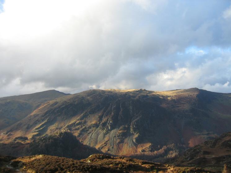
High Spy with Dale Head on the far left
Dale Head, High Spy, Maiden Moor and Catbells
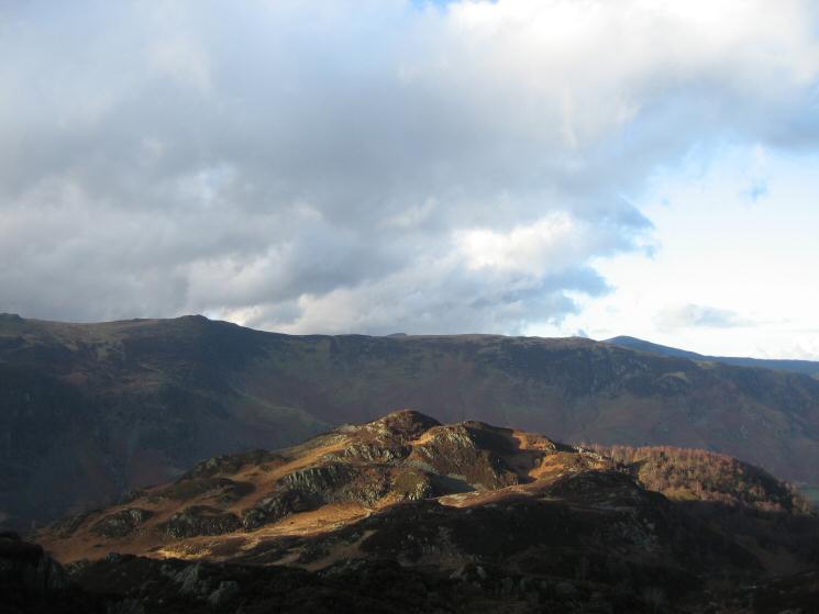
Looking back towards King's How from Brund Fell
The Watendlath valley
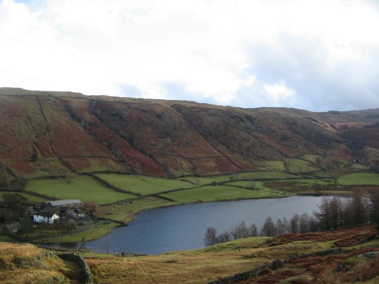
Watendlath Tarn
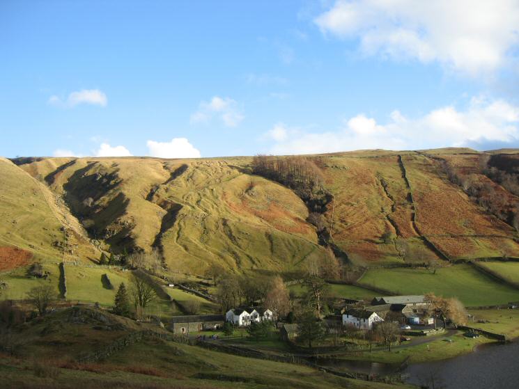
Watendlath with Raise Gill on the left
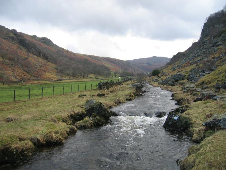
Looking back up Watendlath Beck
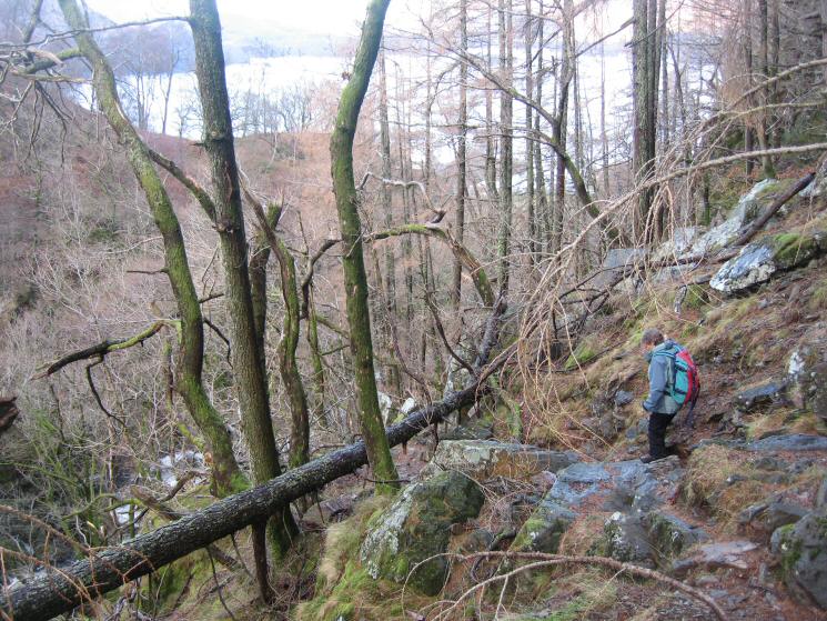
Lots of storm damage as we head down to Lodore
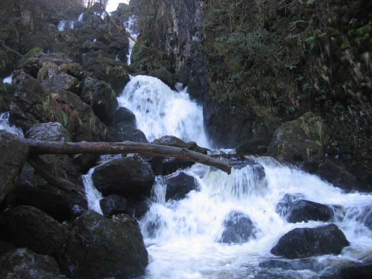
Lodore Falls
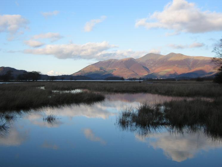
Looking across a flooded Cannon Dub to a cloud free Skiddaw
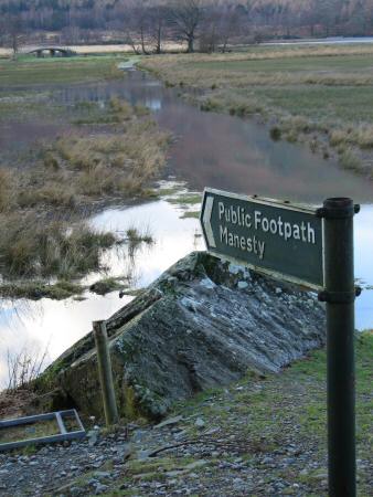
Path to Manesty. Glad we are not heading that way!
Previous Walk: Stonycroft Gill Skyline (Sun 8 Jan 2006)
Next Walk: Hallin Fell (Sun 15 Jan 2006)