Catbells
Sun 18 Sep 2005
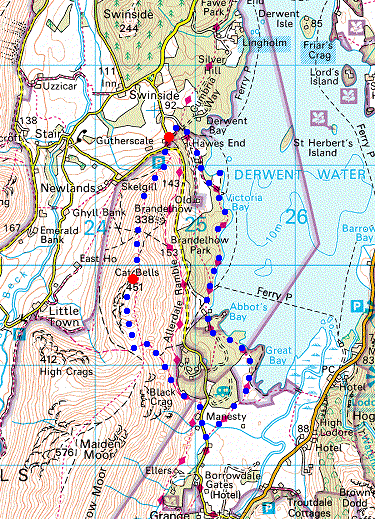
Route: Hawes End - Skelgill Bank - Catbells - Hause Gate - Manesty - Derwent Water - High Brandelhow - Low Brandelhow - Hawes End
Distance: 5.00 miles
Ascent: 1,250ft
Time: 2 hours 30 minutes
With: Anne
Notes:
Overcast
© Crown copyright. All rights reserved. Licence number AL100038401
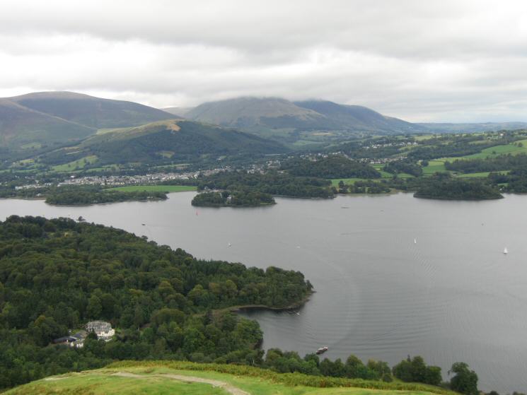
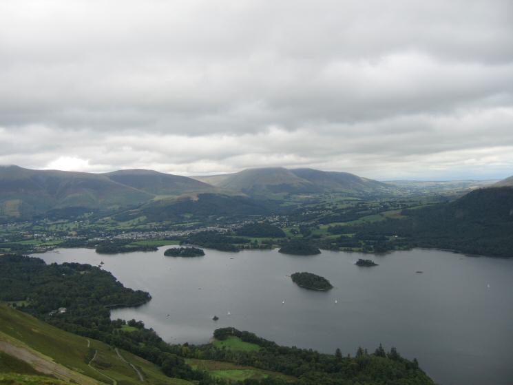
Derwent Water, Keswick and a cloud covered Blencathra from the route up Skelgill Bank
Swinside with Bassenthwaite Lake in the distance
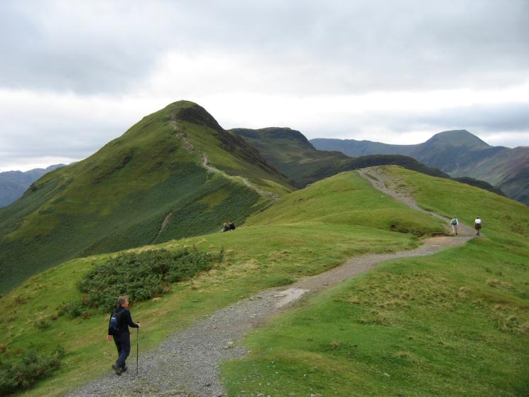
Catbells from Skelgill Bank
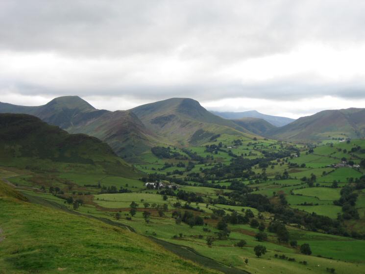
Hindscarth, Robinson and the Newlands Valley
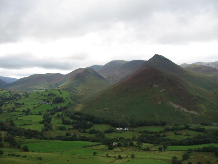
Looking across the Newlands Valley to Causey Pike
The view north from Catbells summit
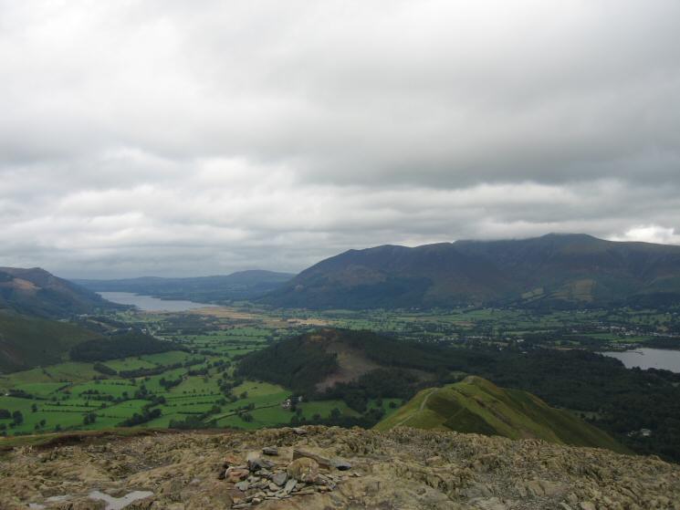
Derwent Water from Catbells summit
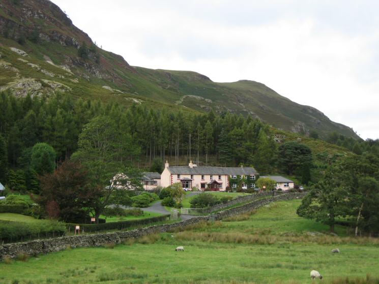
The pink cottages at Manesty
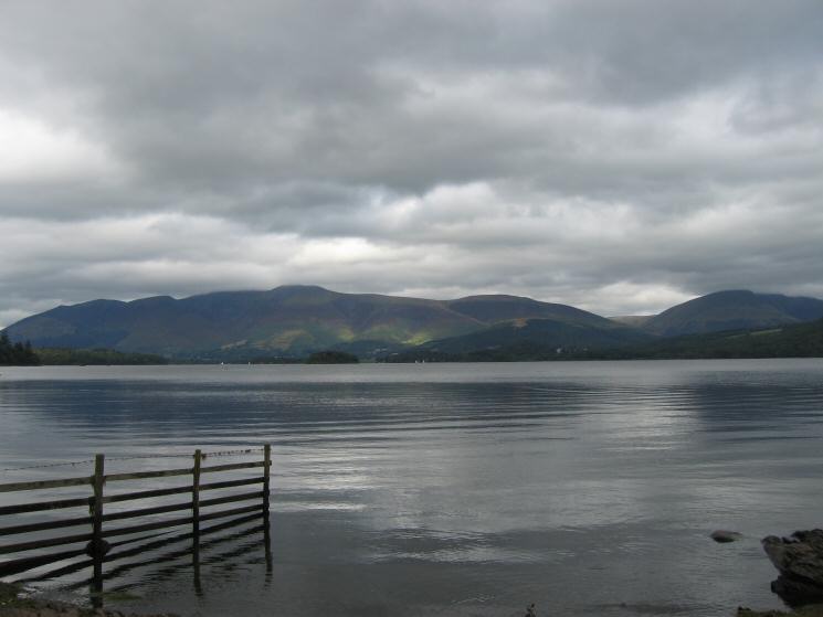
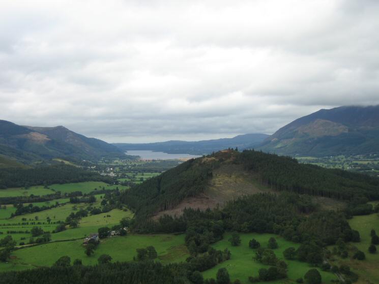
Looking down Derwent Water towards the Skiddaw fells
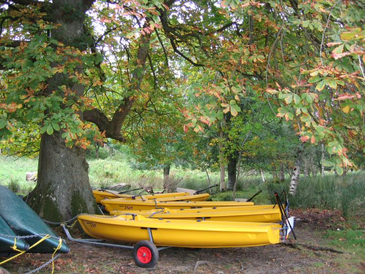
Lasers and a touch of autumn colour at Hawes End
Previous Walk: Crinkle Crags and Pike o'Blisco (Fri 16 Sep 2005)
Next Walk: Aiken Beck skyline (Sat 24 Sep 2005)