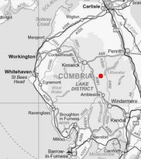
Helvellyn Ridge (White Side to Dollywaggon Pike)
Sun 19 Dec 2004
Route: Glenridding village - Greenside Road - White Side - Helvellyn Lower Man - Helvellyn - Swallow Scarth - Nethermost Pike - Dollywaggon Pike - Grisedale Tarn - Ruthwaite Lodge - Grisedale - Lanty's Tarn - Glenridding village
Distance: 12.25 miles
Ascent: 3,200ft
Time: 6 hours 15 minutes
With: Anne
Notes:
Blue sky, sunshine and some snow on the ground
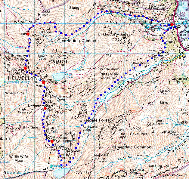
© Crown copyright. All rights reserved. Licence number AL100038401
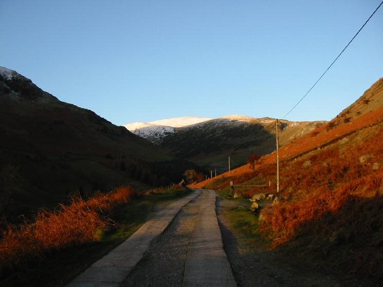
Looking up the Greenside Mines road towards Raise
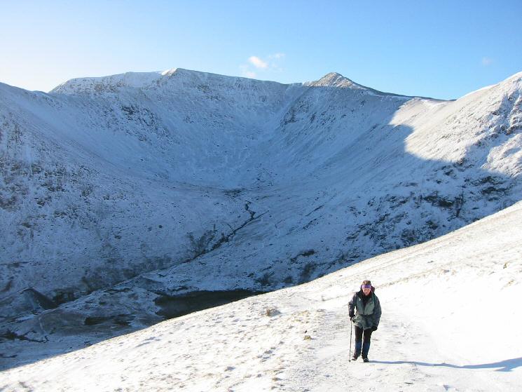
On the zig-zags above Keppel Cove with Helvellyn and Lower Man behind
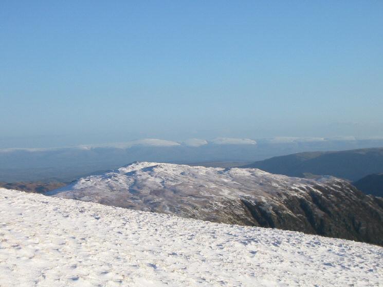
Looking over Sheffield Pike to the North Pennines
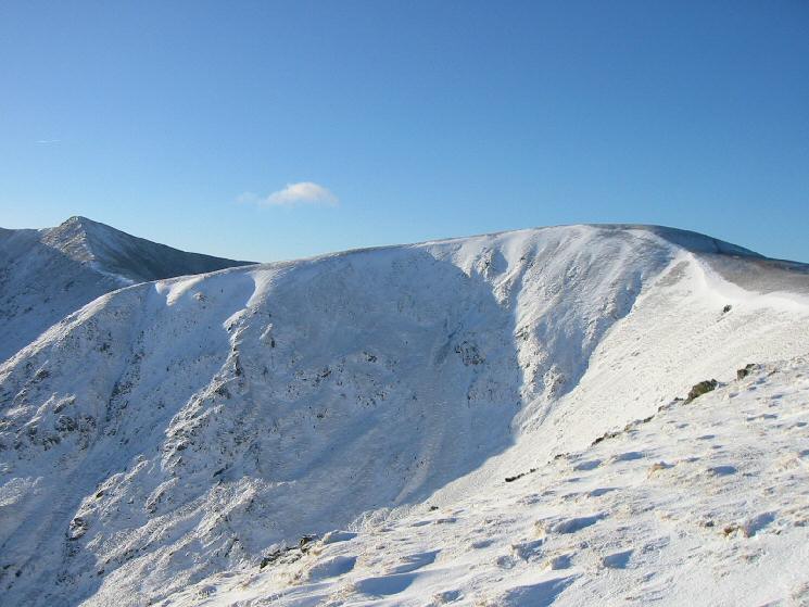
White Side with Helvellyn Lower Man on the far left
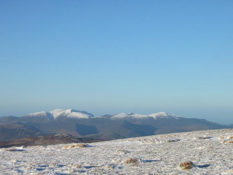
The north western fells
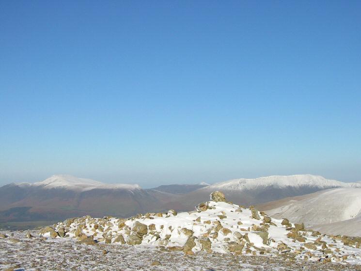
Skiddaw and Blencathra from White Side's summit

360 Panorama from White Side's summit
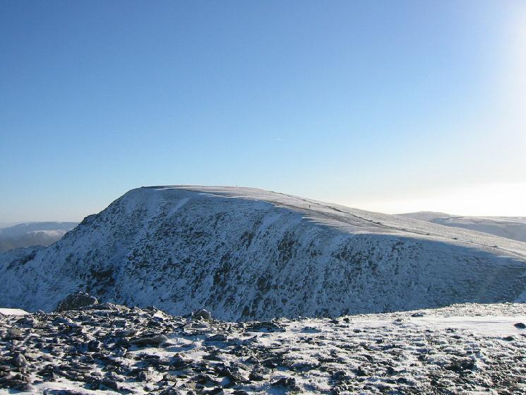
Helvellyn from Helvellyn Lower Man
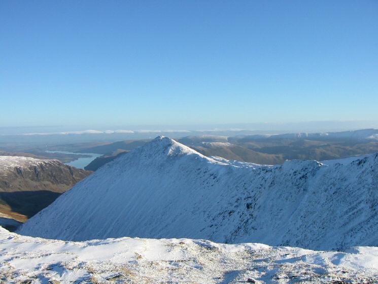
Catstycam with Ullswater in the distance
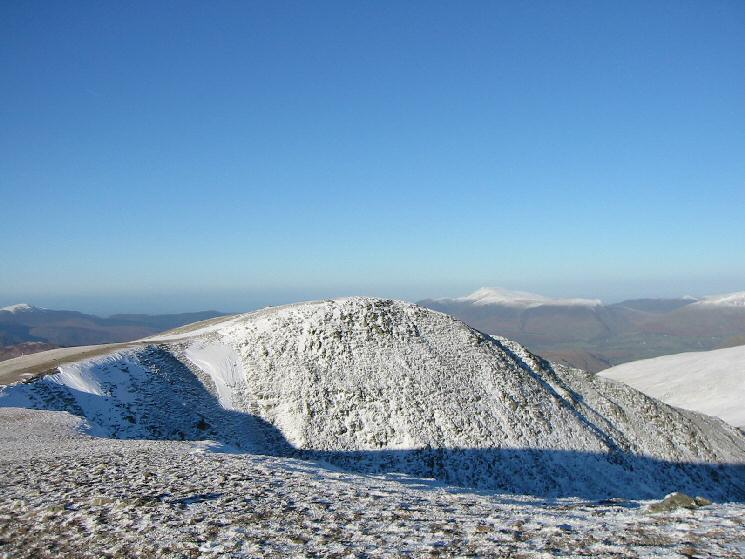
Helvellyn Lower Man with Skiddaw in the distance
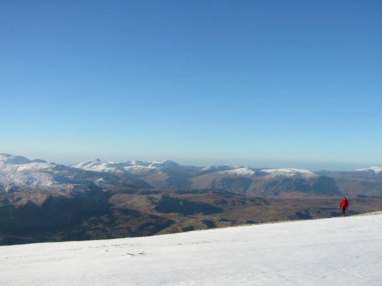
The view west from Helvellyn
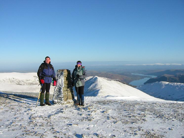
Andrew and Anne at Helvellyn's summit
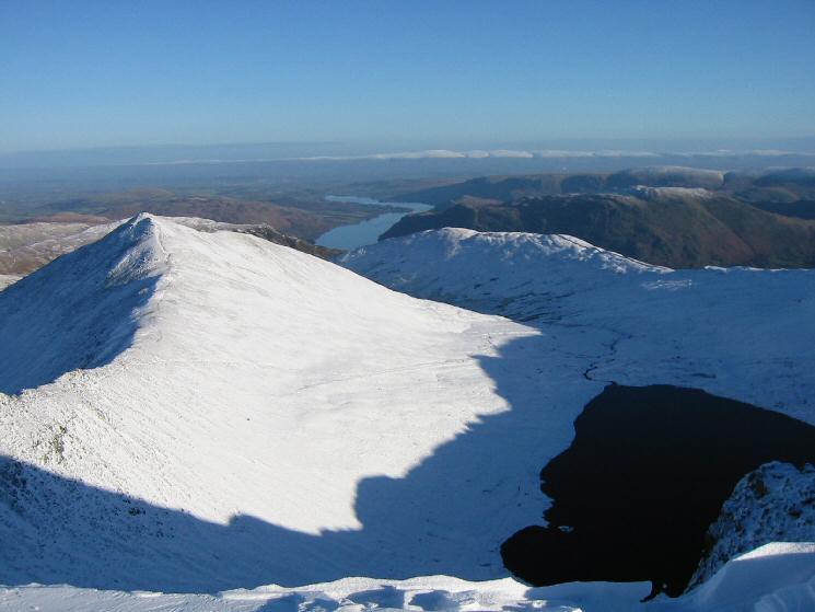
Catstycam and Red Tarn
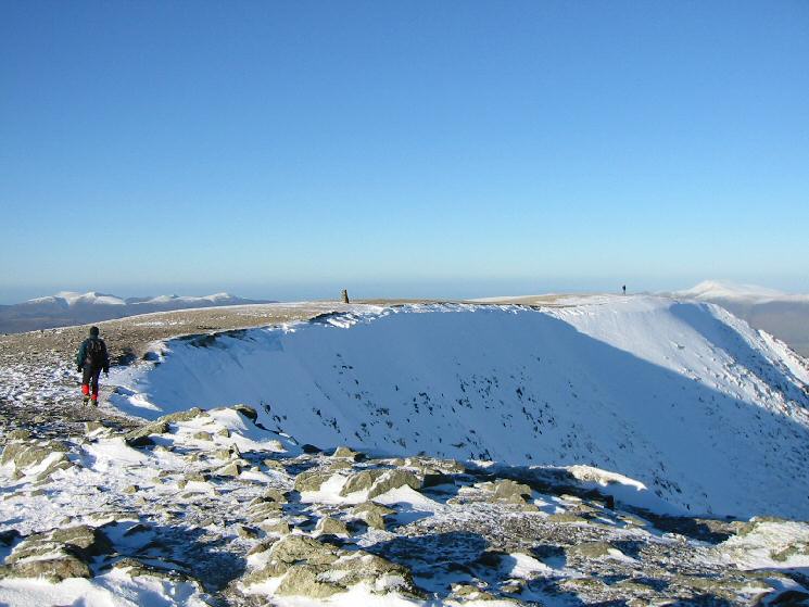
Helvellyn summit
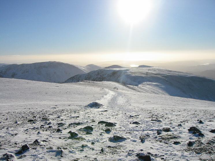
The view south from Helvellyn
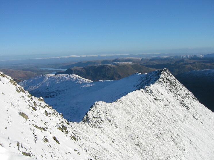
Striding Edge
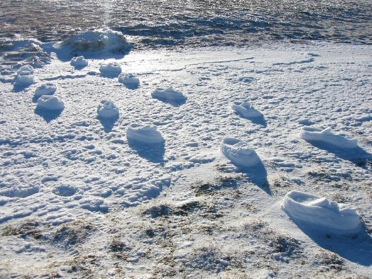
Footprints, Helvellyn
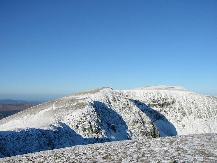
Looking back to High Crag and Nethermost Pike from Dollywaggon Pike

360 Panorama from Dollywaggon Pike's summit
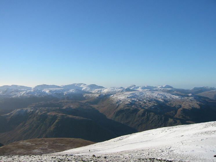
The view west from Dollywaggon Pike
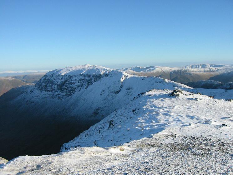
Saint Sunday Crag
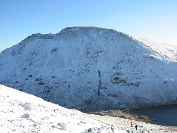
Fairfield with Grisedale Tarn bottom right
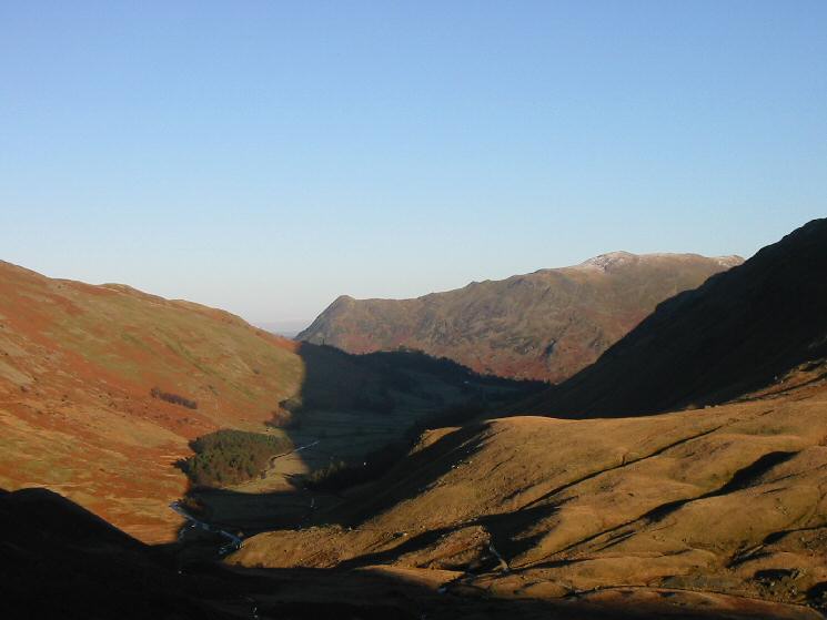
Looking down Grisedale to Place Fell
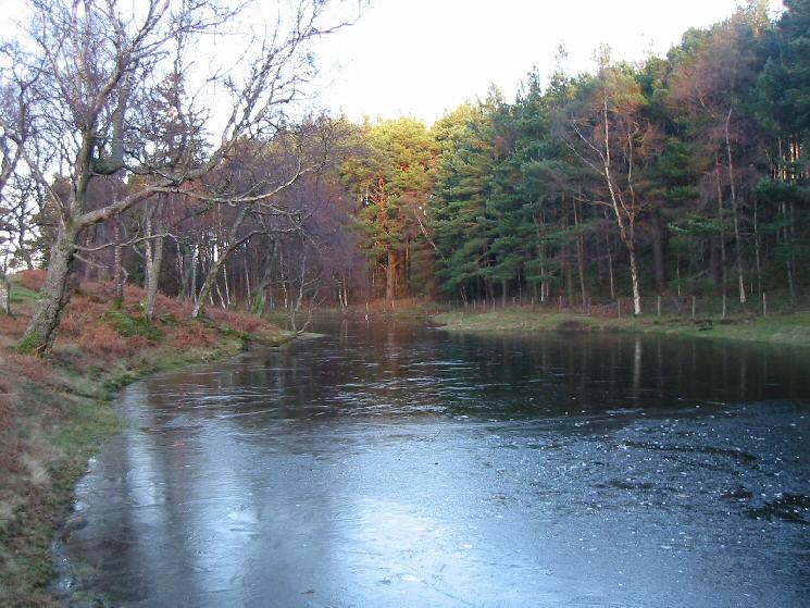
Lanty's Tarn, semi-frozen
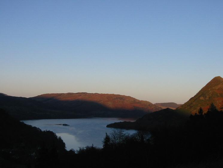
Ullswater
Previous Walk: Barrow and Outerside (Sat 18 Dec 2004)
Next Walk: Walla Crag (Sat 25 Dec 2004)
