Loughrigg Fell wander
Sat 2 Oct 2004
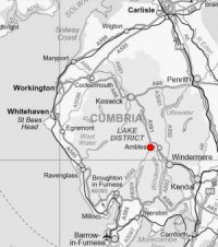
Route: White Moss Common - Grasmere - Deerbolts Wood - Loughrigg Fell - Loughrigg Cave - White Moss Common
Distance: 3.50 miles
Ascent: 1,000ft
Time: 2 hours
With: On Own
Notes:
Sunny intervals, windy
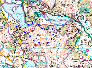
© Crown copyright. All rights reserved. Licence number AL100038401
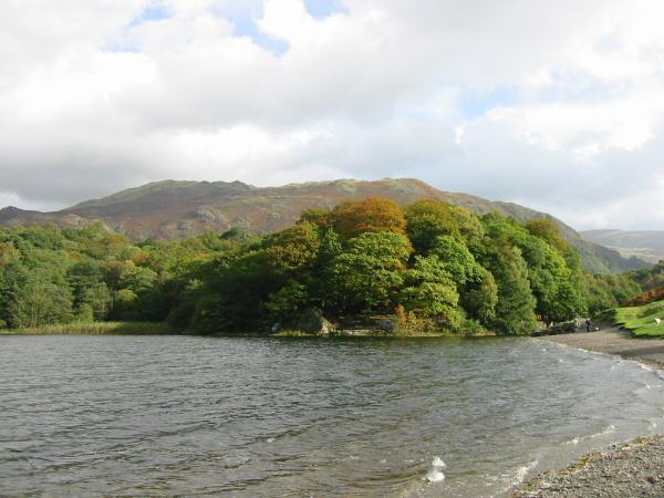
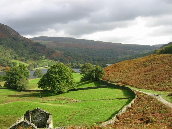
Looking back along Grasmere's shoreline to Penny Rock with Heron Pike and Nab Scar behind
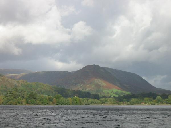
Looking across Grasmere to Helm Crag
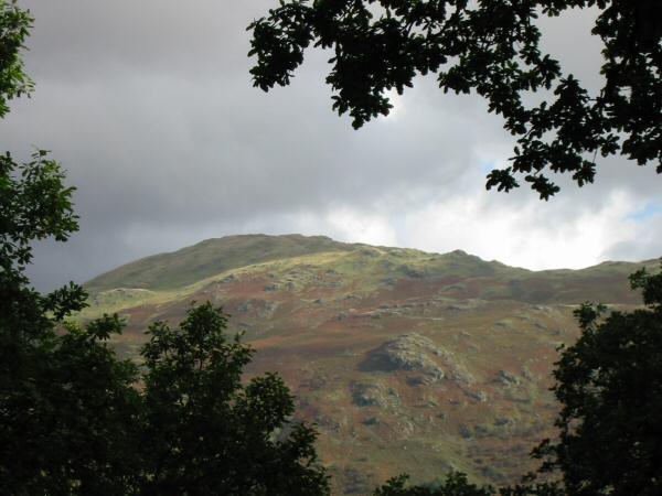
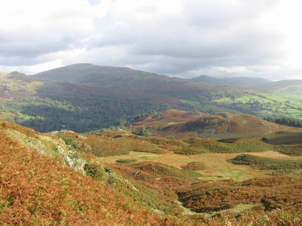
Heron Pike from Deerbolts Wood
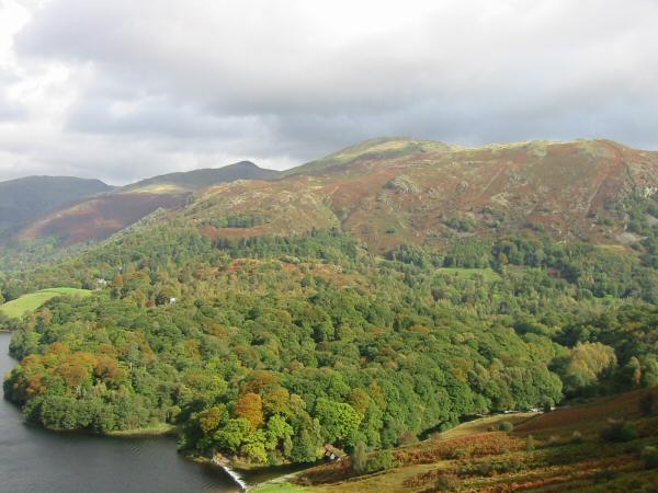
Seat Sandal, the pointed top of Great Rigg, Heron Pike and Nab Scar
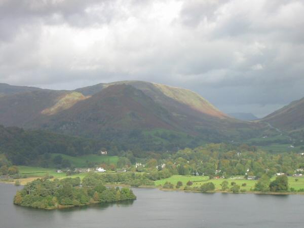
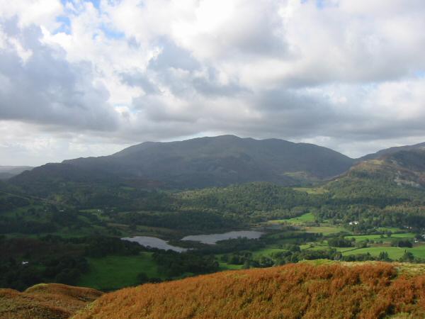
Grasmere village and Dunmail Raise from Loughrigg Fell
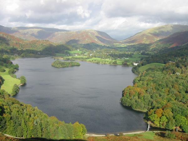
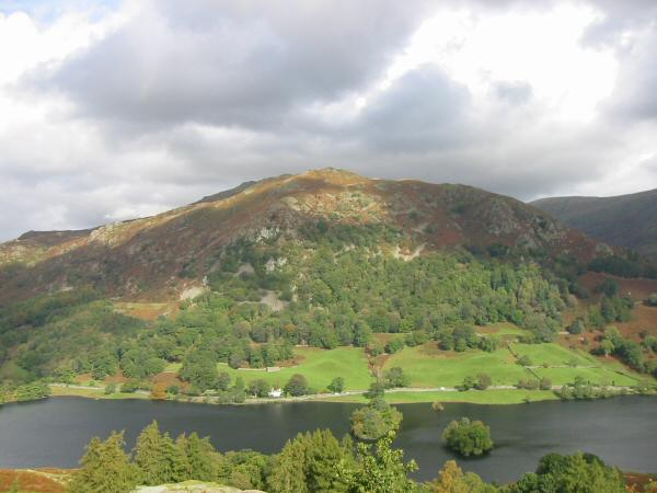
Grasmere
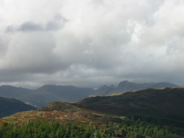
Bowfell and the Langdale Pikes
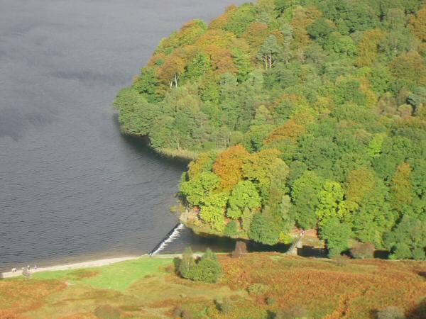
Looking down on Grasmere's weir and the footbridge across the River Rothay

Looking over High Close (YHA) to Chapel Stile and Great Langdale with Crinkle Crags, Bowfell and the Langdale Pikes on the skyline
Elter Water and the Coniston Fells from Loughrigg Fell's summit
Grasmere village and Dunmail Raise from Loughrigg Fell's summit
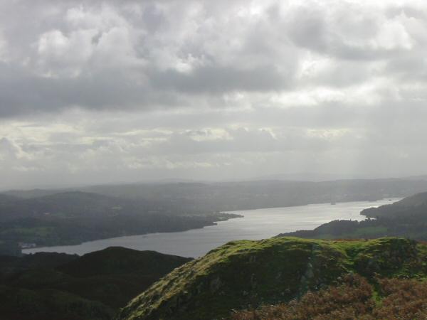
Windermere from Loughrigg Fell
Low Pike (far left), the bulk of Red Screes and the pointed top of Ill Bell from Loughrigg Fell
Silver How and Grasmere from the descent to Loughrigg Cave
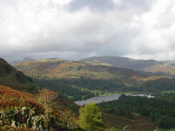
Looking across Rydal Water to Nab Scar
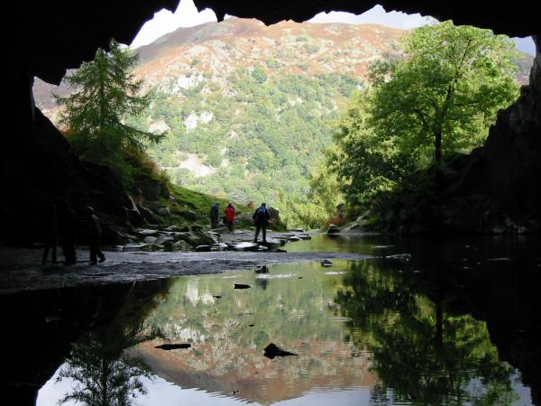
Looking out of Loughrigg Cave
A glimpse of Rydal Water and Red Screes on the skyline
Previous Walk: Angletarn Pikes, Brock Crags and Rest Dodd (Sun 19 Sep 2004)
Next Walk: Newlands Trio (Sun 10 Oct 2004)