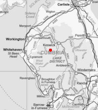
Newlands Trio
Sun 10 Oct 2004
Route: Newlands Church, Little Town - High Snab Bank - Robinson - Littledale Edge - Hindscarth - Hindscarth Edge - Dale Head - Newlands Valley (via copper mine) - Newlands Church
Distance: 9.25 miles
Ascent: 2,850ft
Time: 4 hours 20 minutes
With: Anne
Notes:
Windy, overcast with the some sunny intervals
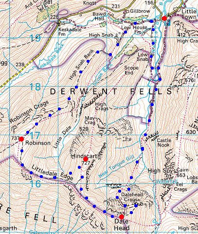
© Crown copyright. All rights reserved. Licence number AL100038401
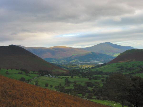
Lonscale Fell and Blencathra from the steep grassy path up onto High Snab Bank
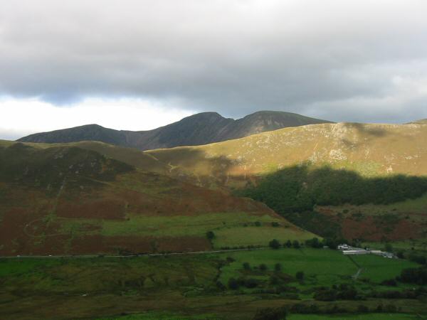
Wandope, Eel Crag, Sail and the ancient Keskadale oak wood on the side of Ard Crags from High Snab Bank
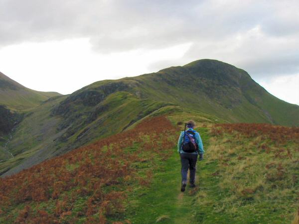
Heading along High Snab Bank towards Robinson
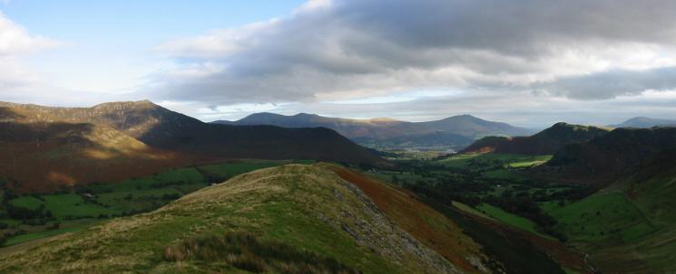
The view north from High Snab Bank - Causey Pike, Skiddaw (behind Rowling End), Blencathra and Catbells
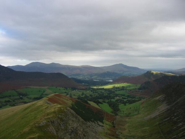
The view north from Robinson
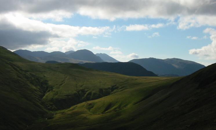
Great End, Ill Crag, Broad Crag, Scafell Pike, Great Gable, Scafell, Fleetwith Pike and Kirk Fell seen over Littledale Edge
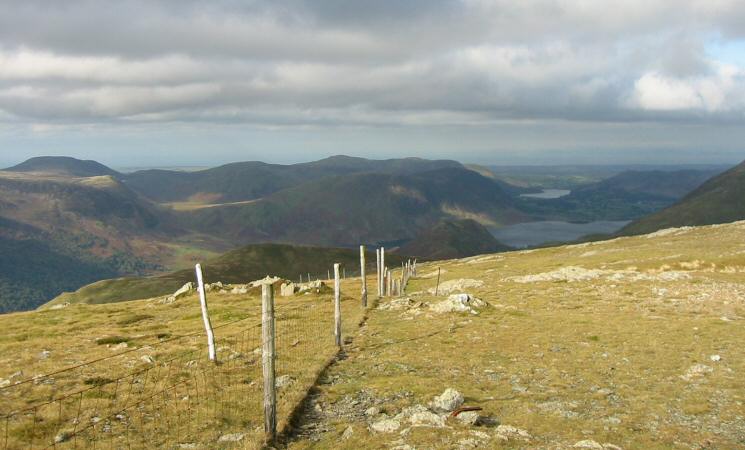
Great Borne, Mellbreak, Loweswater and Crummock Water from Robinson
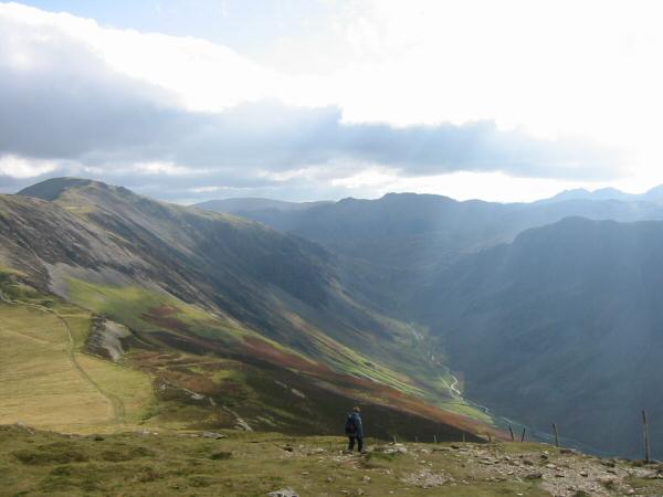
Dale Head (far left) and Honister Pass from Robinson
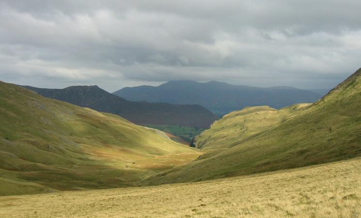
Causey Pike and Skiddaw from Littledale Edge
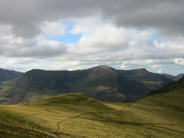
High Crag, High Stile and Red Pike from the ascent of Hindscarth
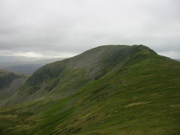
Dale Head
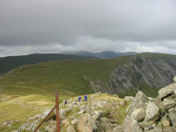
Walkers ascending Dale Head
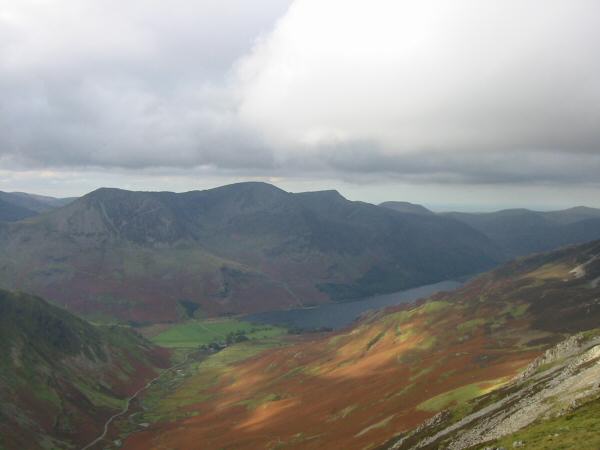
High Crag, High Stile and Red Pike above Buttermere
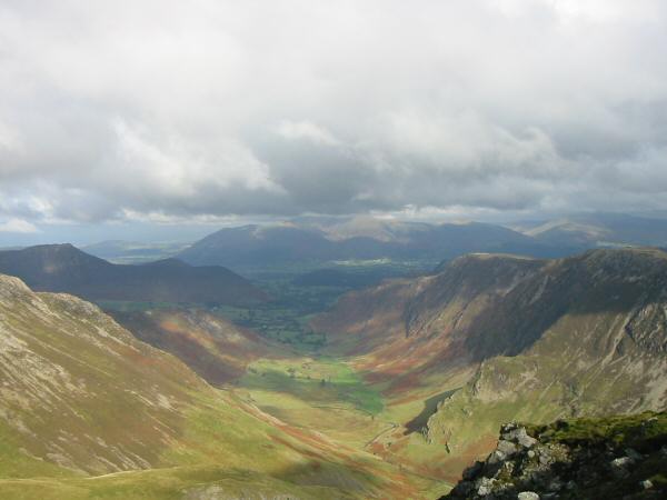
Looking down Newlands Valley to Skiddaw from Dale Head
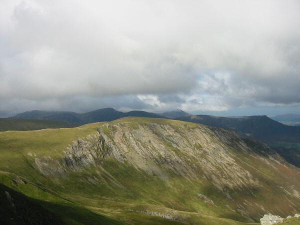
Hindscarth from Dale Head

Northerly panorama from Dale Head's summit
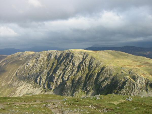
High Spy from Dale Head
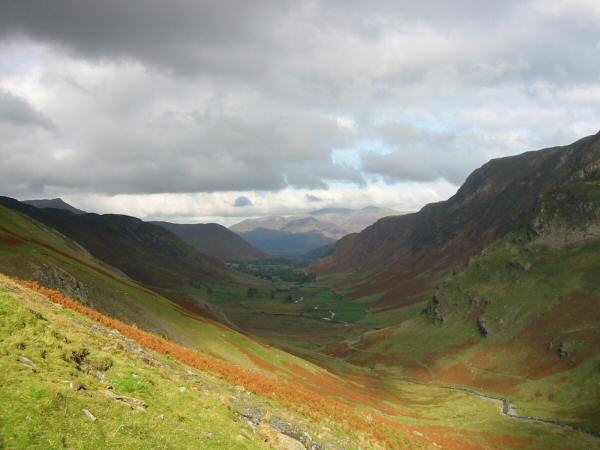
Newlands Valley
Previous Walk: Loughrigg Fell wander (Sat 2 Oct 2004)
Next Walk: Shap Abbey and Keld (Sat 16 Oct 2004)
