Angletarn Pikes, Brock Crags and Rest Dodd
Sun 19 Sep 2004
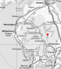
Route: Hartsop - Boredale Hause - Angletarn Pikes - Angle Tarn - Brock Crags - Satura Crag - Rest Dodd - Hayeswater - Hartsop
Distance: 7.25 miles
Ascent: 2,200ft
Time: 3 hours 30 minutes
With: Anne
Notes:
Overcast, showers, windy
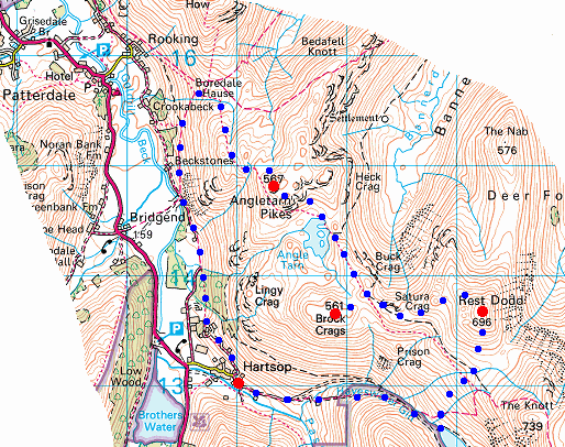
© Crown copyright. All rights reserved. Licence number AL100038401
High Hartsop Dodd and Brothers Water from above Hartsop
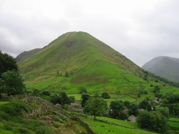
Hartsop Dodd
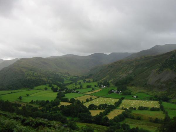
Deepdale. The white dots are bales wrapped in white plastic
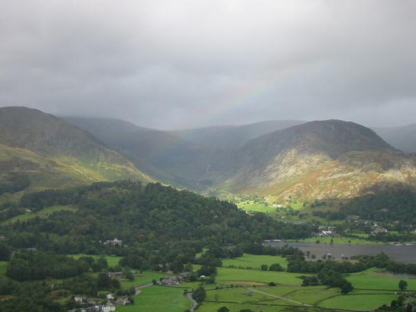
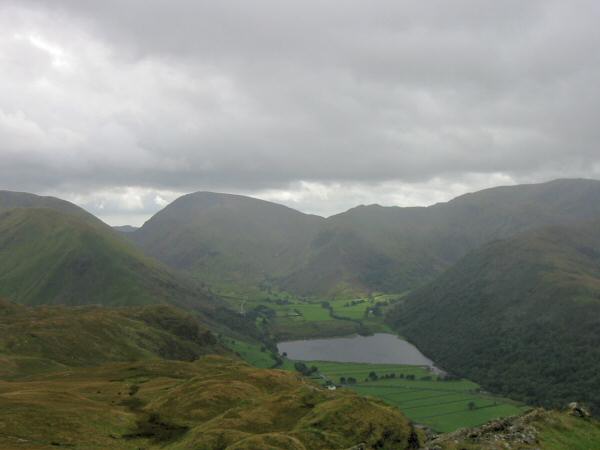
Glenridding at the head of Ullswater from below Boredale Hause
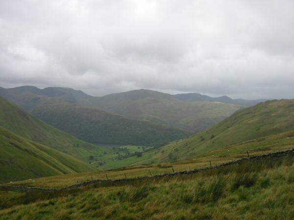
View south from the northern and higher top of Angletarn Pikes
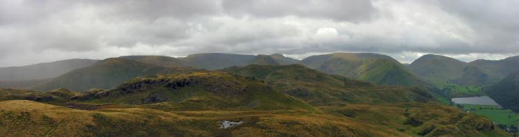
Southern panorama from the northern and higher top of Angletarn Pikes
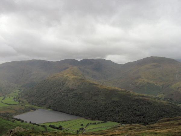
Red Screes and Brothers Water from Angletarn Pikes
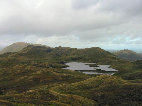
Angle Tarn from Angletarn Pikes
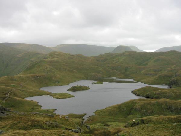
Hayeswater and Gray Crag
Brock Crags' summit
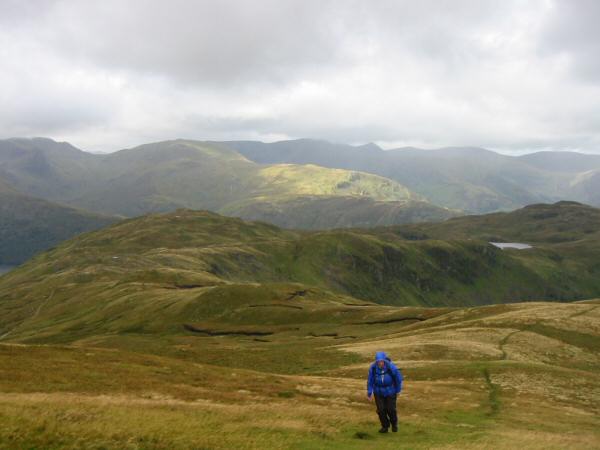
Place Fell, Angletarn Pikes and Angle Tarn from Brock Crags
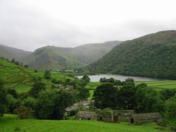
Brothers Water and Hartsop Above How
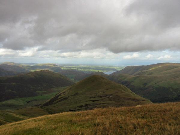
Looking back to Brock Crags from the ascent of Rest Dodd
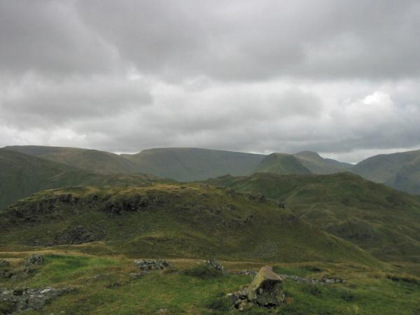
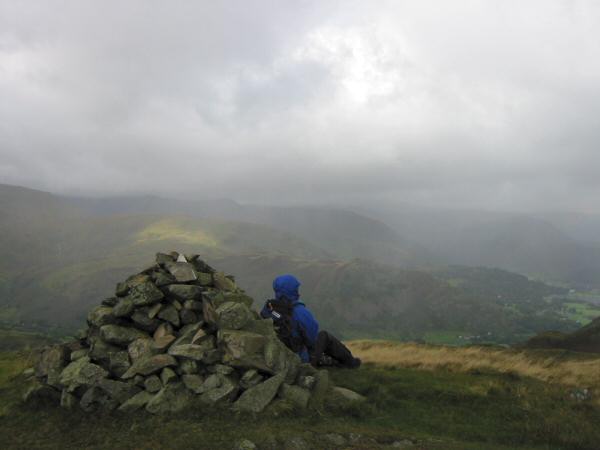
The Nab from Rest Dodd
Looking down towards Hartsop from the descent to Hayeswater
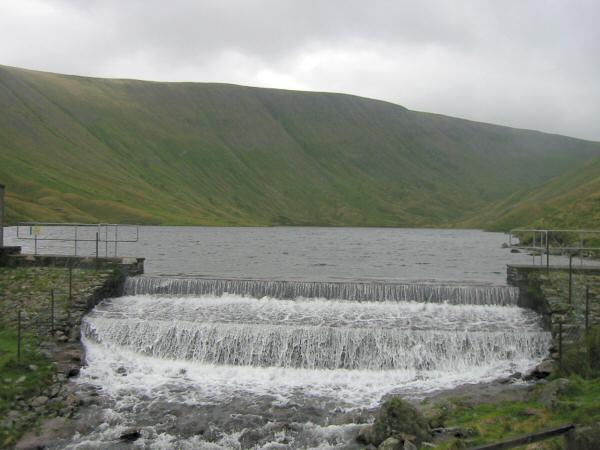
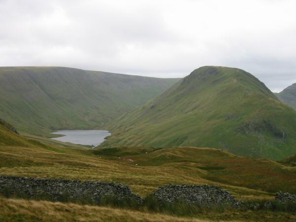
Hayeswater with High Street behind
Previous Walk: Bowfell (Wed 15 Sep 2004)
Next Walk: Loughrigg Fell wander (Sat 2 Oct 2004)