Loughrigg Fell
Fri 9 Jan 2004
Route: White Moss Common - Grasmere - Deerbolts Wood - Loughrigg Fell - Loughrigg Terrace - Loughrigg Cave - Rydal Water - White Moss Common
Distance: 4.50 miles
Ascent: 1,000ft
Time: 2 hours 10 minutes
With: On Own
Notes:
Rain showers

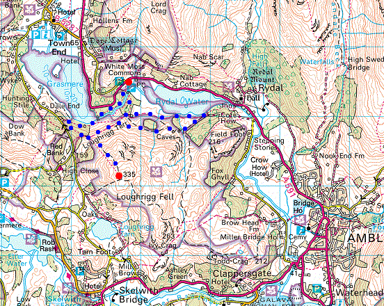
© Crown copyright. All rights reserved. Licence number AL100038401
Grasmere shoreline
Great Rigg from Deerbolts Woods
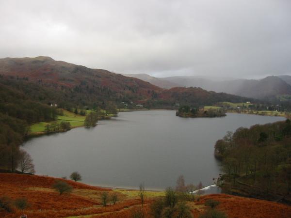
Grasmere

The bulk of Nab Scar, point of Low Pike and Red Screes with Rydal Water below from the ascent

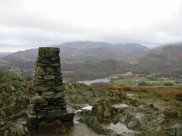
Looking towards Loughrigg Fell's summit
Wetherlam in cloud and Elter Water from Loughrigg's summit
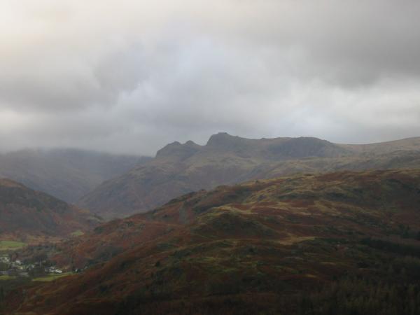
The Langdale Pikes
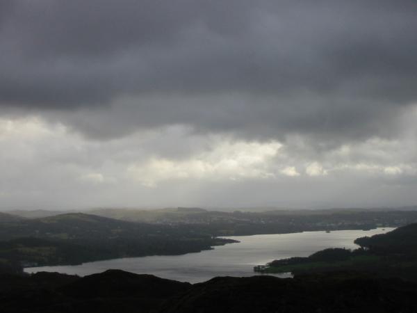
Windermere

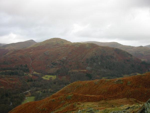
Grasmere from the descent
The ridge of Great Rigg, Heron Pike and Nab Scar with the Dove Crag, High Pike, Low Pike ridge behind

Helm Crag, Grasmere village and Dunmail Raise
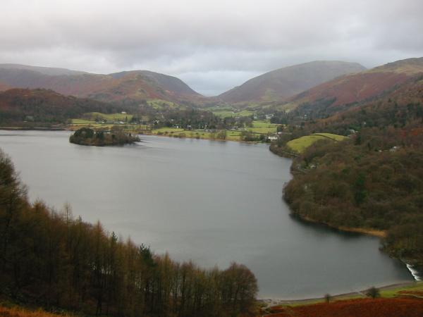
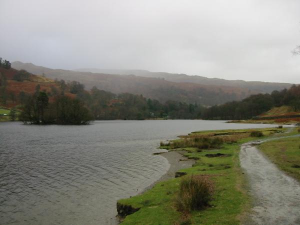
Grasmere from Loughrigg Terrace with Silver How on the left and Helm Crag on the far right
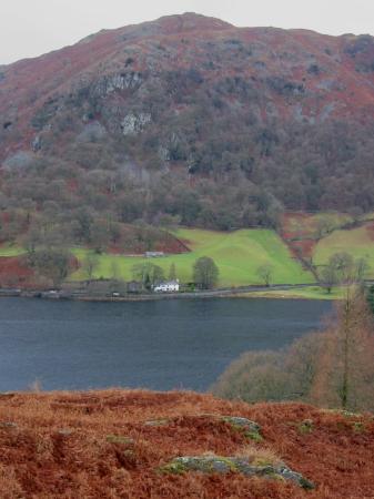
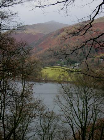
Looking across Rydal Water to Nab Scar and Nab Cottage

Rydal Water and Helm Crag
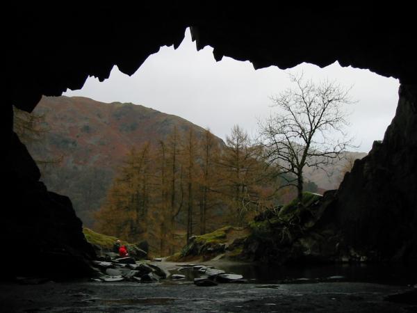
Looking out of the Loughrigg Cave (also called Rydal Cave)
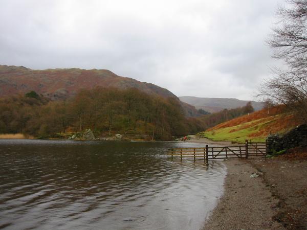
Rydal Water shoreline
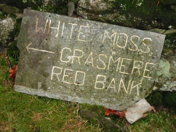
Sign on the way back to White Moss
Previous Walk: Tarn Hows, Black Crag, Hodge Close and Holme Fell (Sun 4 Jan 2004)
Next Walk: Walla Crag (Sun 11 Jan 2004)