Tarn Hows, Black Crag, Hodge Close and Holme Fell
Sun 4 Jan 2004
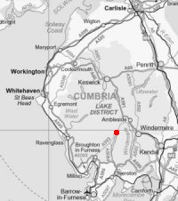
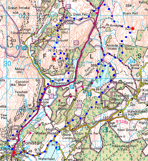
Route: Coniston village - Coniston Water - Monk Coniston - Tarn Hows - Black Fell (Black Crag) - Low Arnside - Hollin Bank - Tongue Intake - Low Oxen Fell - High Oxen Fell - Hodge Close Quarry - Holme Ground Tarns - Holme Fell - Yew Tree Farm - Coniston village
Distance: 11.25 miles
Ascent: 1,600ft
Time: 5 hours 20 minutes
With: Anne
Notes:
Overcast, mild, some snow remaining on the higher ground with many of the paths icy
© Crown copyright. All rights reserved. Licence number AL100038401
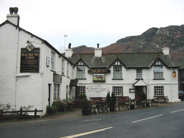
The Black Bull Inn, Coniston
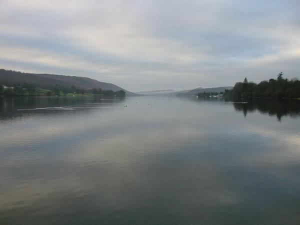
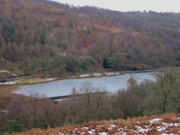
Looking down Coniston water
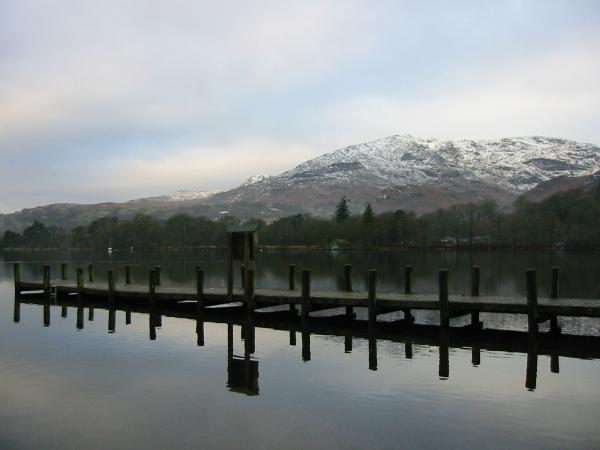
Coniston Old Man from Monk Coniston jetty
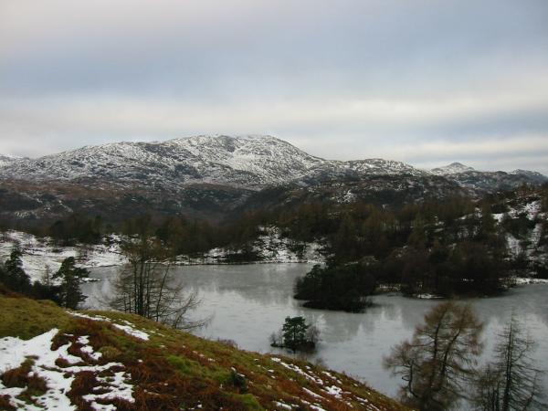
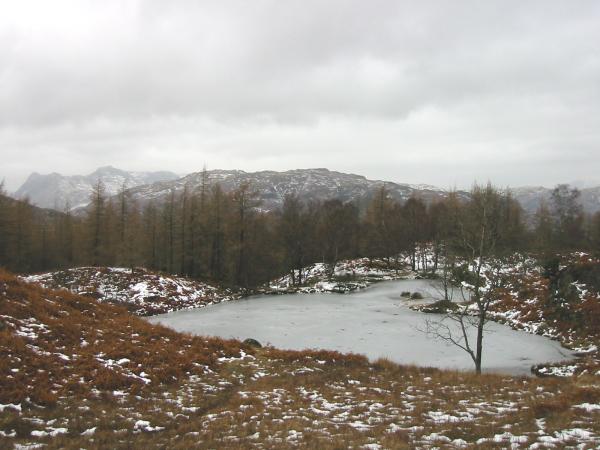
Wetherlam from a frozen Tarn Hows
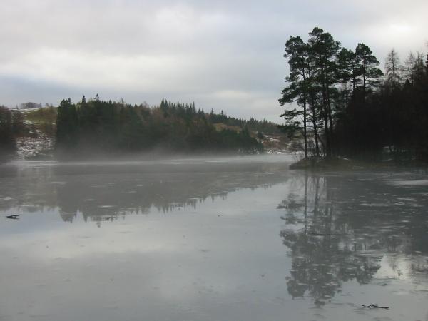
Tarn Hows
Wetherlam can just be seen through some of the remaining trees in Iron Keld Plantation
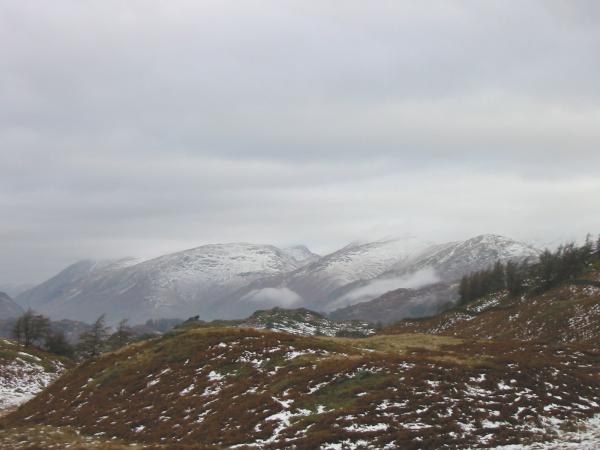
The Helvellyn and Fairfield fells from the path to Black Crag's summit
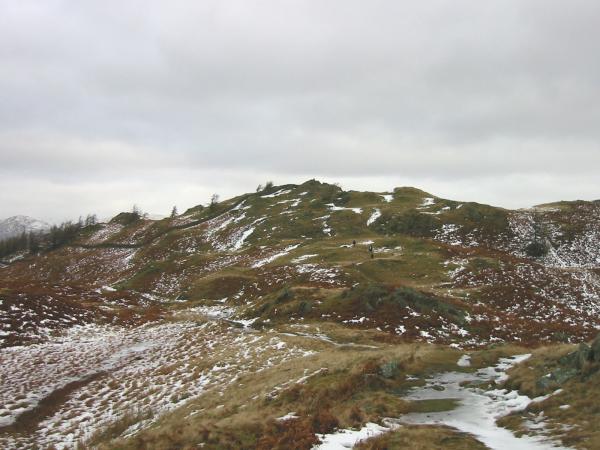
Looking towards Black Crag's summit
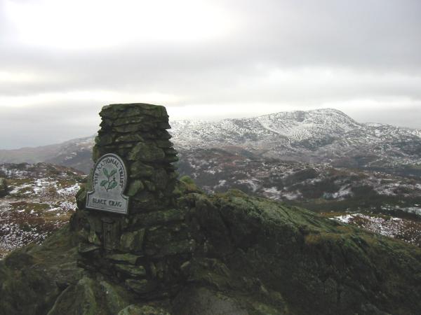
Wetherlam from Black Crag's summit
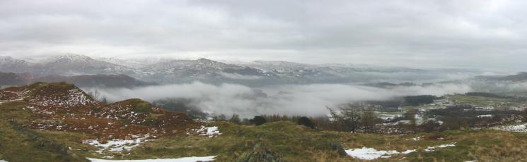
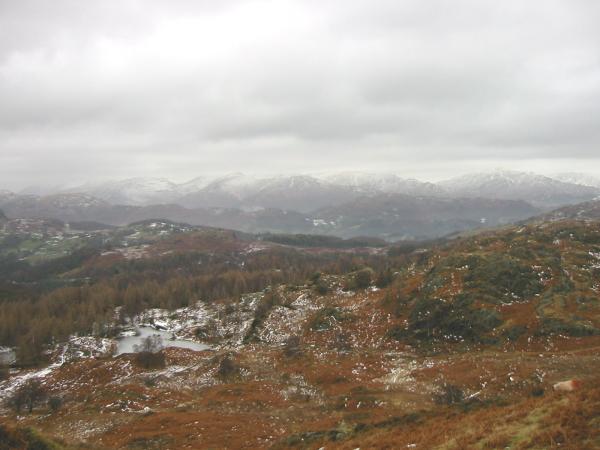
Mist over Windermere
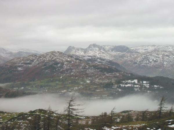
The Langdale Pikes behind Lingmoor Fell
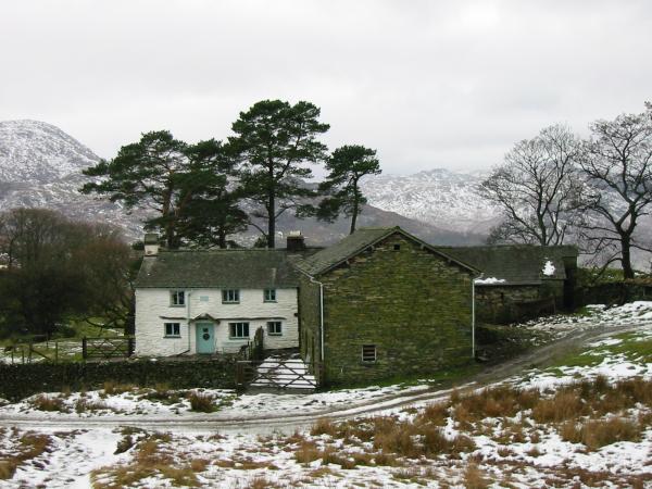
Low Arnside
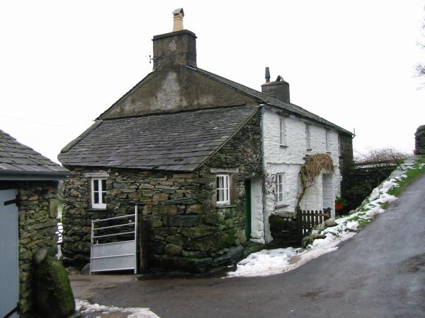
High Oxen Fell
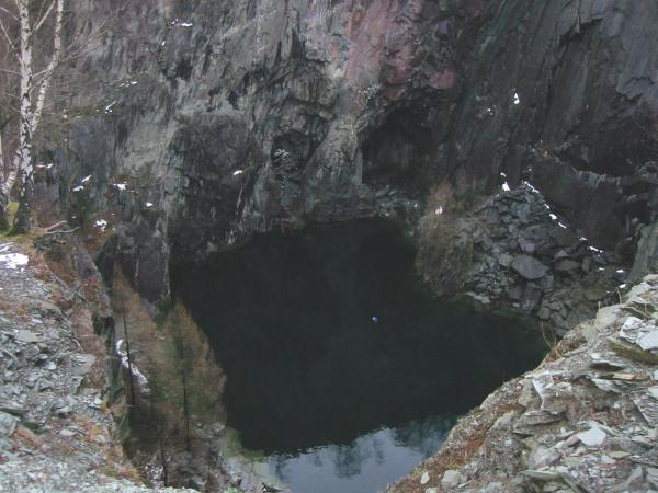
Hodge Close quarry
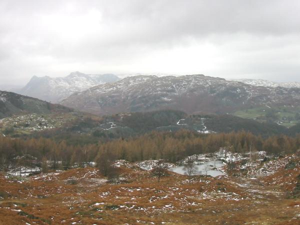
The Langdale Pikes from one of the old reservoirs, Holme Fell
The Helvellyn and Fairfield fells from high up on Holme Fell
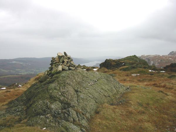
Holme Fell summit with Coniston Water in the distance
The Langdale Pikes and Lingmoor Fell
Yew Tree Tarn
Previous Walk: Greenhead Gill Round (Tue 30 Dec 2003)
Next Walk: Loughrigg Fell (Fri 9 Jan 2004)