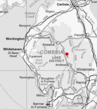
Helvellyn, Nethermost Pike and Dollywaggon Pike
Sun 23 Nov 2003
Route: Wythburn - Birk Side - Helvellyn - Swallow Scarth - Nethermost Pike - High Crag - Dollywaggon Pike - Grisedale Tarn - Raise Beck - Dunmail Raise - Wythburn
Distance: 7.25 miles
Ascent: 2,850ft
Time: 4 hours 45 minutes
With: Anne
Notes:
In and above broken cloud, with light winds and periods of sunshine
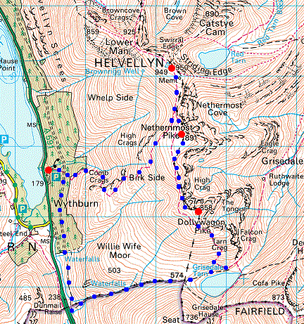
© Crown copyright. All rights reserved. Licence number AL100038401
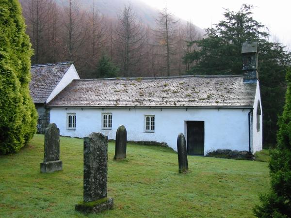
Wythburn Church
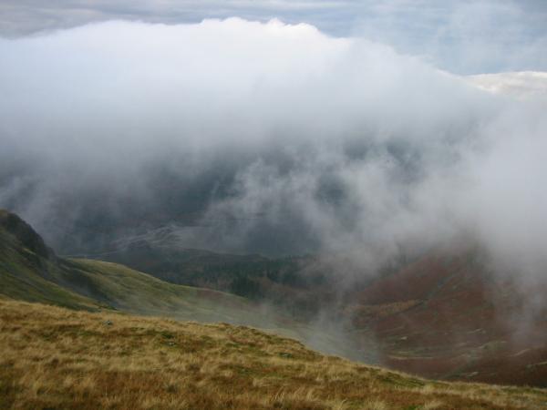
Looking down through the cloud to Thirlmere
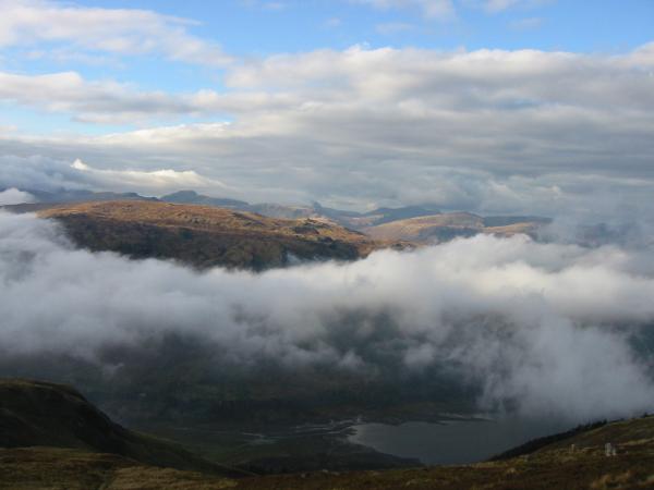
The view west from higher up with Great Gable seen above the mass of Ullscarf
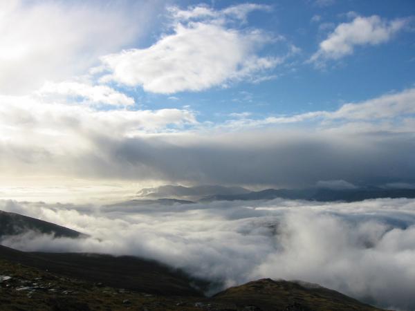
The Coniston Fells in a sea of cloud to the south west
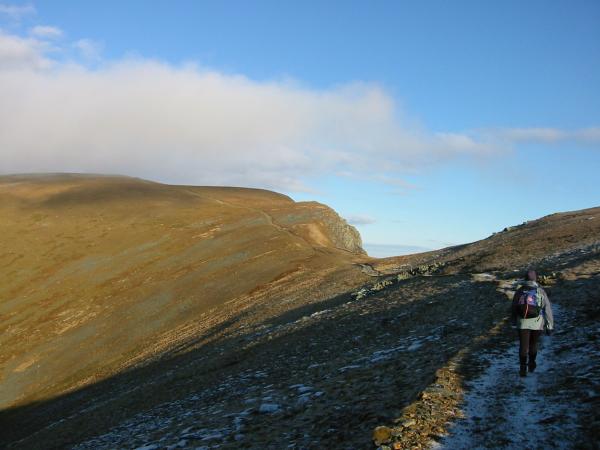
Heading for Helvellyn's summit
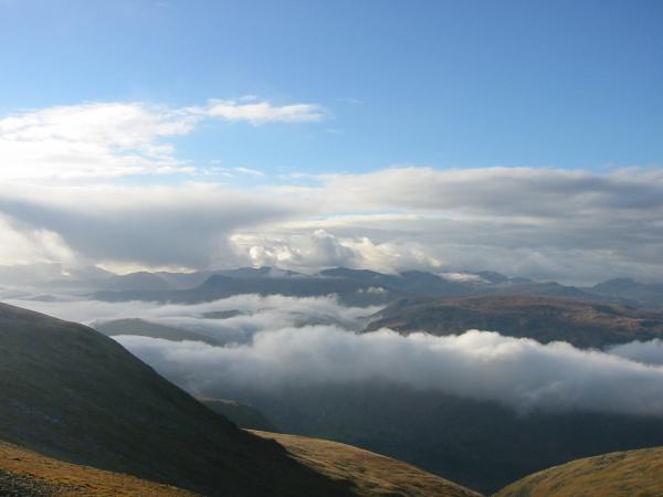
The view south west from Helvellyn
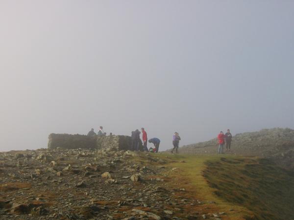
Helvellyn's summit shelter
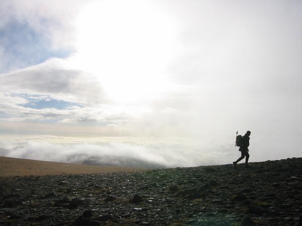
A walker approaches Helvellyn's summit
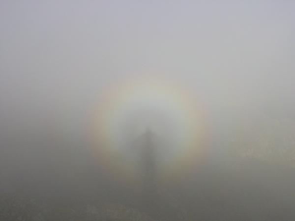
A broken spectre
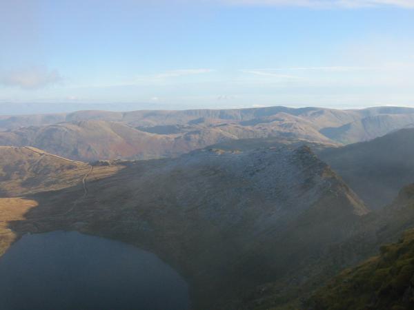
Red Tarn and Striding Edge with the High Street ridge in the distance
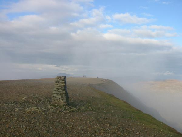
Helvellyn's trig point
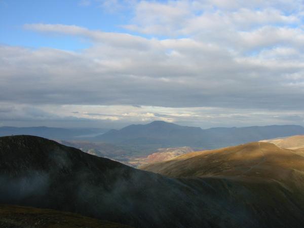
Helvellyn Lower Man and White Side with Skiddaw in the distance
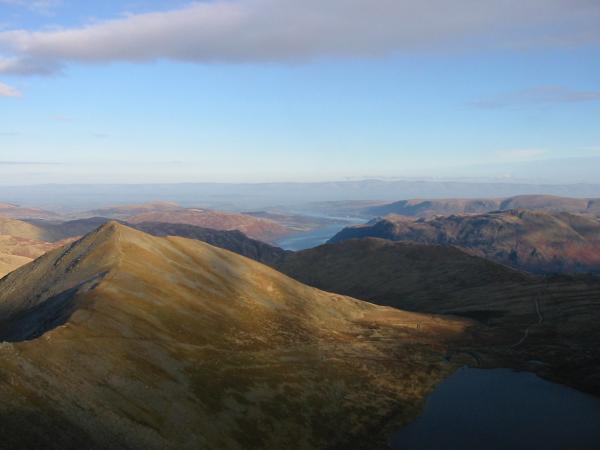
Catstycam and Ullswater

360 Panorama from Helvellyn's summit
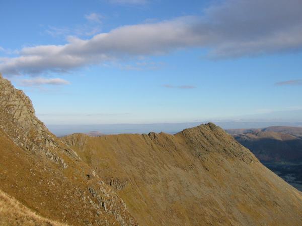
Striding Edge from the col between Helvellyn and Nethermost Pike
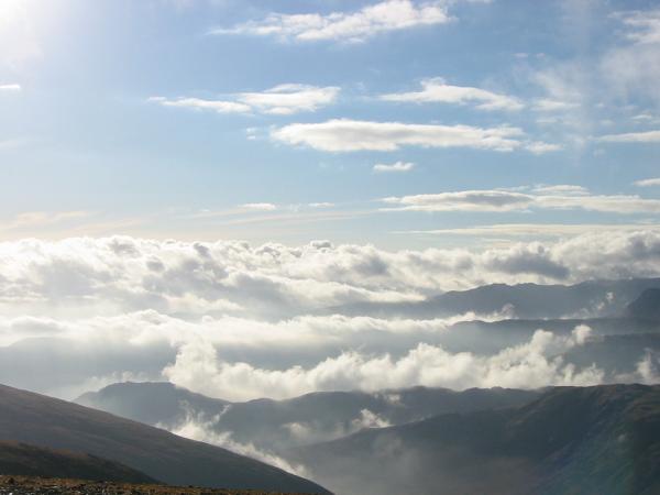
Cloud to the south west. Helm Crag is the peak on the left
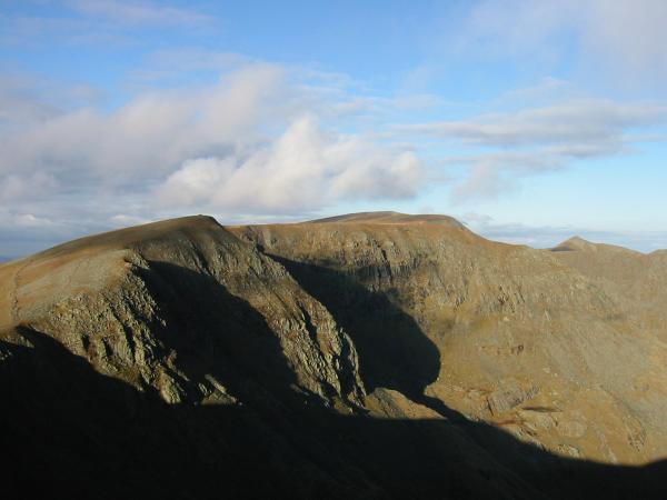
High Crag, the flat top of Nethermost Pike with Helvellyn behind and the pointed top of Catstycam from Dollywaggon Pike
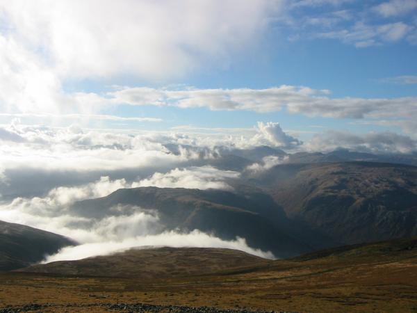
Steel Fell from Dollywaggon Pike
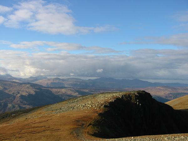
The north western fells from Dollywaggon Pike
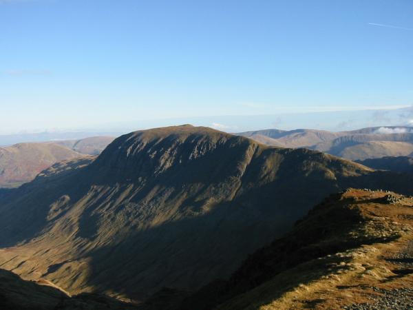
Saint Sunday Crag
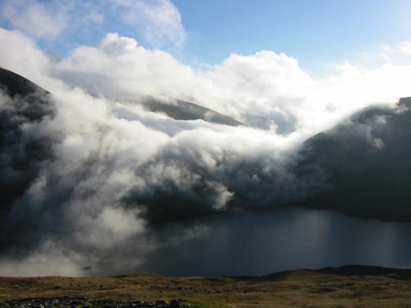
Grisedale Tarn from the Dollywaggon zig-zags
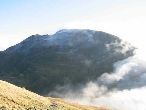
Fairfield
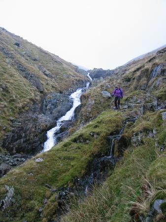
Descending the rough path by Raise Beck
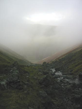
Looking down to Dunmail Raise
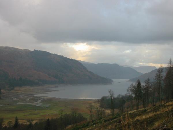
Thirlmere from the Dunmail Raise to Wythburn path
Previous Walk: Esk Pike and Bowfell (Fri 21 Nov 2003)
Next Walk: Dunmallet (Wed 26 Nov 2003)
