Ard Crags and Knott Rigg
Sun 26 Oct 2003
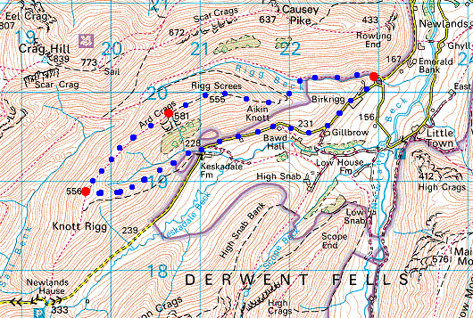
Route: Rigg Beck - Aikin Knott - Ard Crags - Knott Rigg - Keskadale - road - Rigg Beck
Distance: 5.25 miles
Ascent: 1,500ft
Time: 2 hours 40 minutes
With: Anne
Notes:
Scattered cloud, blue sky and sunshine
© Crown copyright. All rights reserved. Licence number AL100038401
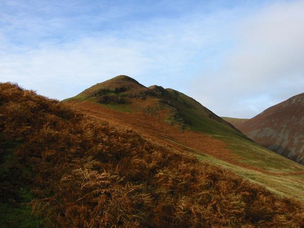
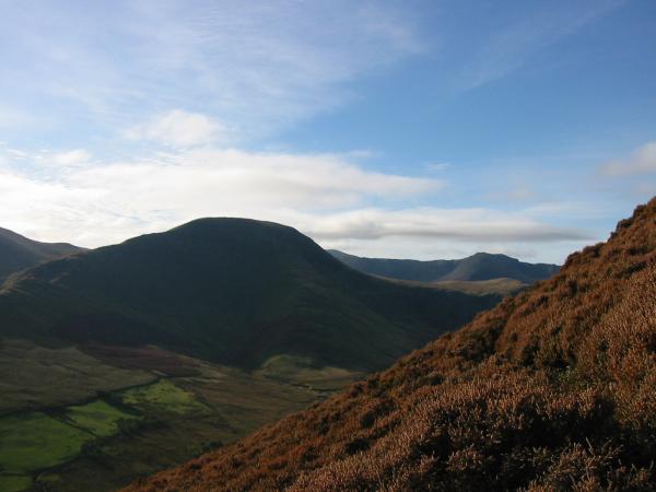
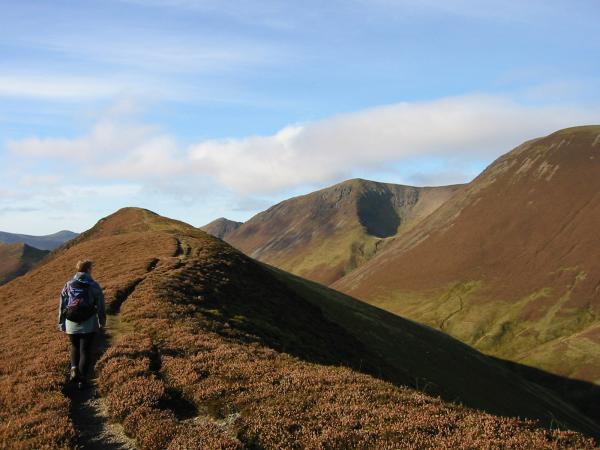
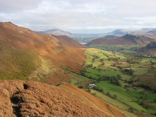
Ard Crags from above Rigg Beck
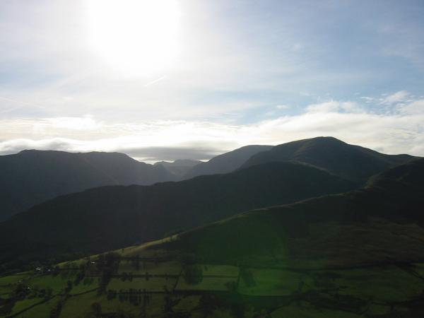
Looking into the sun. High Spy, Dale Head, Hindscarth and High Snab Bank
Robinson from the ascent of the ridge
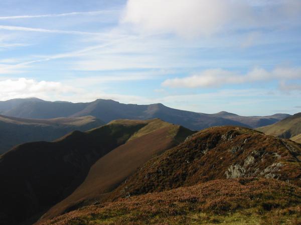
Knott Rigg and Ard Crags with the High Stile ridge in the distance
Catbells with cloud covering the top of the Helvellyn ridge beyond
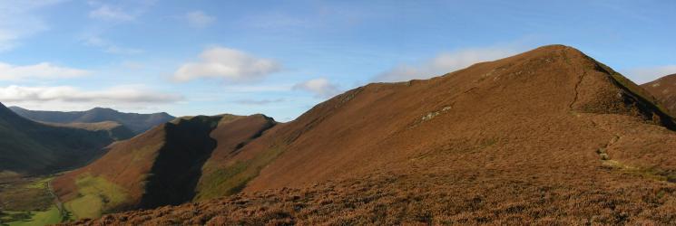
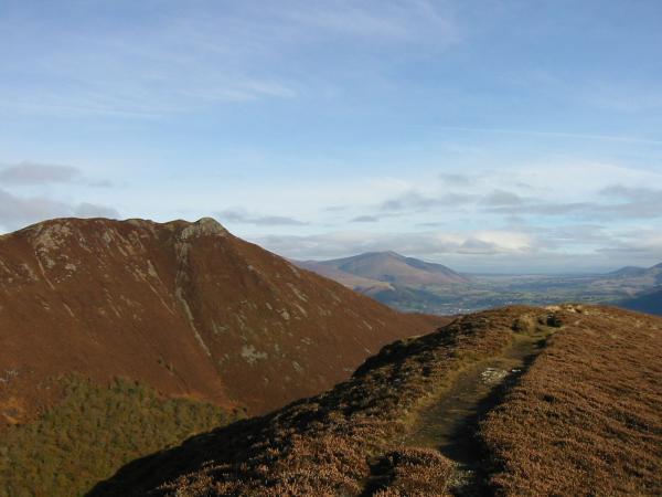
'Keskadale Edge' leading up to Knott Rigg
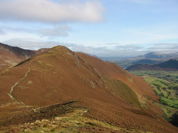
Heading for Ard Crags' summit
Causey Pike with Blencathra in the distance
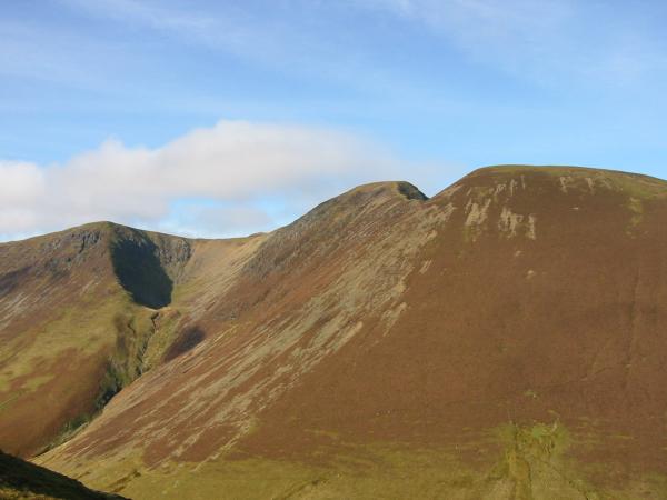
Wandope, Addacomb Hole, Eel Crag and Sail
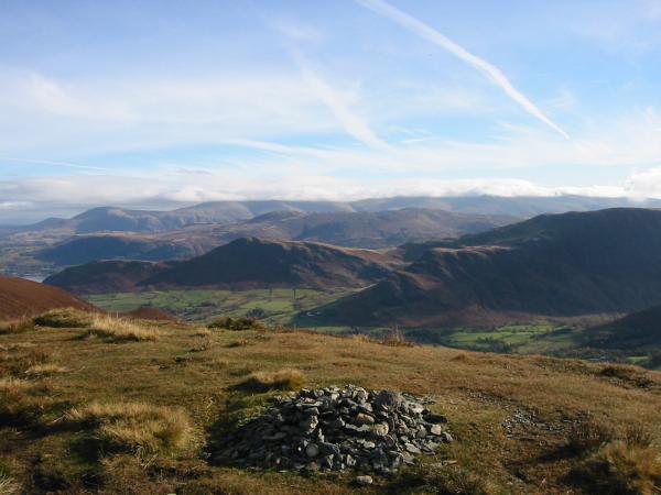
The view east from Ard Crags' summit

360 Panorama from Ard Crags' summit
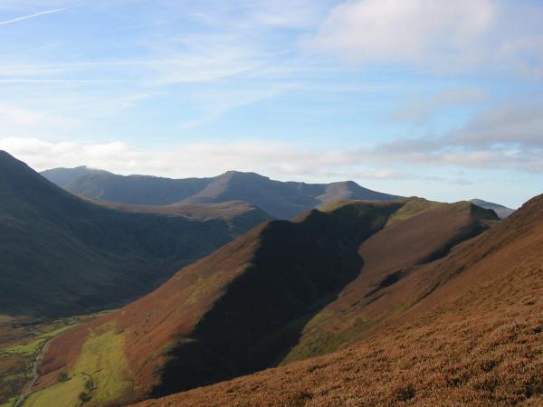
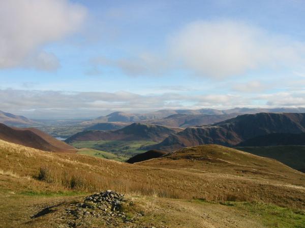
Looking over Knott Rigg to Pillar in cloud with High Crag in front, High Stile, Red Pike, Starling Dodd and Great Borne
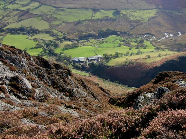
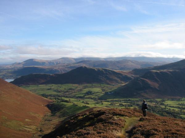
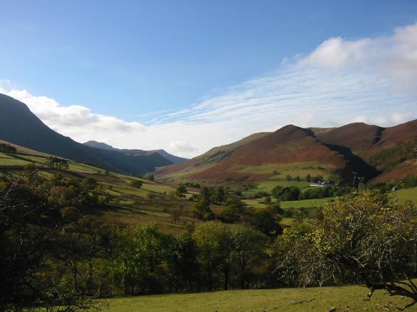
Looking down to Keskadale Farm from Ard Crags
The view back to Ard Crags with the ancient Keskadale oak wood on its eastern slopes from Knott Rigg
The view east from Knott Rigg summit

360 Panorama from Knott Rigg's summit
The ridge down to Keskadale Farm from Knott Rigg
Looking towards Newlands Hause
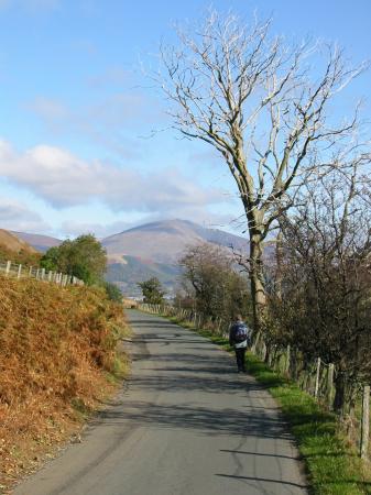
Blencathra from the road back to Rigg Beck
Previous Walk: Loughrigg Fell (Mon 20 Oct 2003)
Next Walk: Little Mell Fell (Wed 29 Oct 2003)