The spine of the central fells
Sat 29 Apr 2006
Route: Keswick - Rakefoot - Walla Crag - Bleaberry Fell - High Seat - The Pewits - High Tove - Armboth Fell - Shivery Knott - Bell Crags - Standing Crag - Ullscarf - Greenup Edge - Low White Stones - High Raise - Sergeant Man - Blea Rigg - Silver How - Wray Gill - Allan Bank - Grasmere Village
Distance: 17.00 miles
Ascent: 4,100ft
Time: 8 hours 30 minutes
With: David Hall
Notes:
Sunshine and scattered clouds, not much wind, shorts weather!
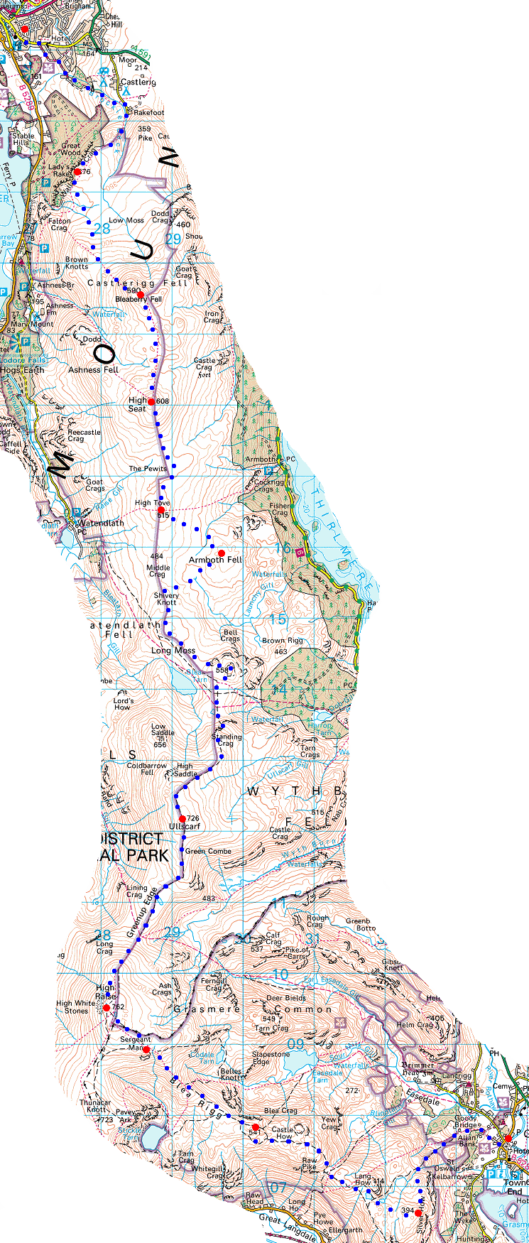
© Crown copyright. All rights reserved. Licence number AL100038401
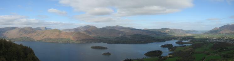
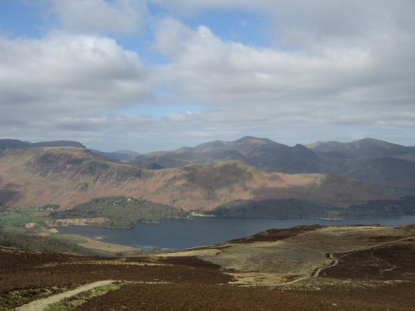
Derwent Water and the north western fells from Walla Crag
Looking south up Borrowdale from Walla Crag
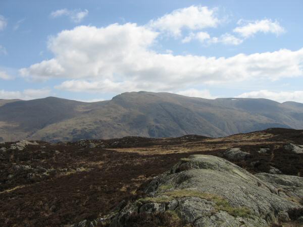
Walla Crag with Skiddaw behind from the path to Bleaberry Fell
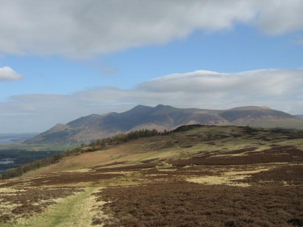
Catbells from the ascent of Bleaberry Fell
Blencathra from Bleaberry Fell

360 Panorama from Bleaberry Fell's summit
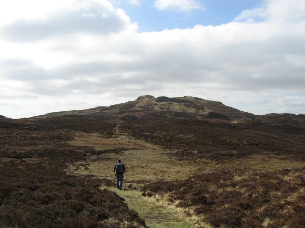
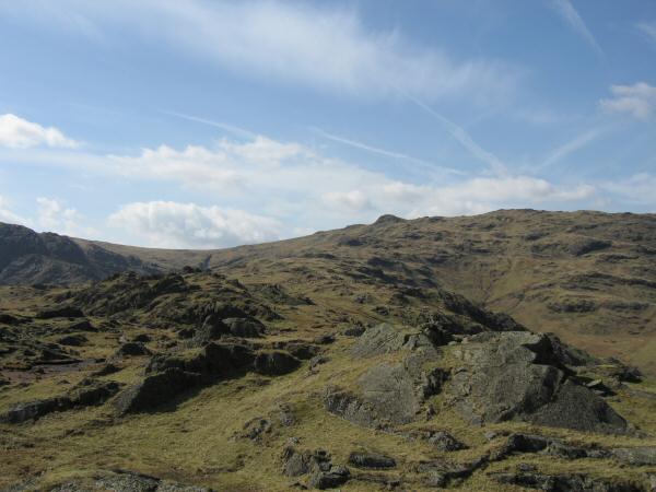
Heading for High Seat from Bleaberry Fell
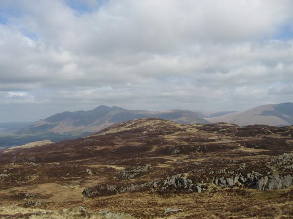
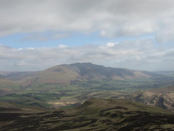
Looking back to Bleaberry Fell (with Skiddaw behind) from High Seat's summit

360 Panorama from High Seat's summit
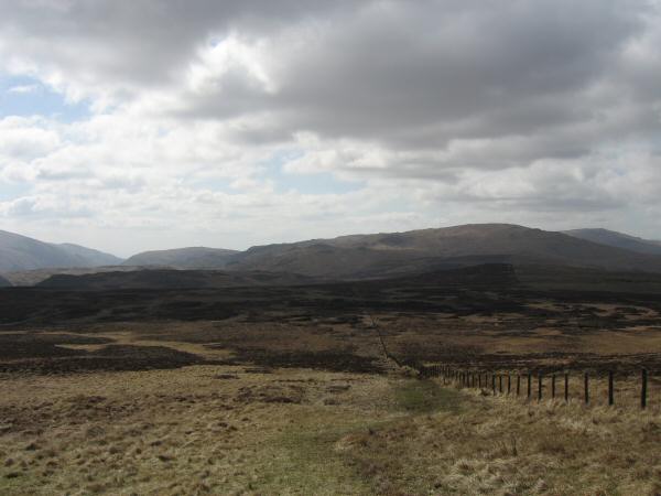
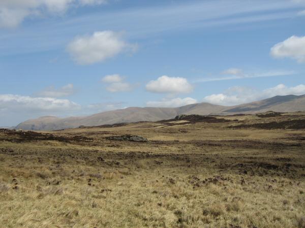
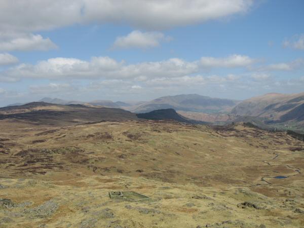
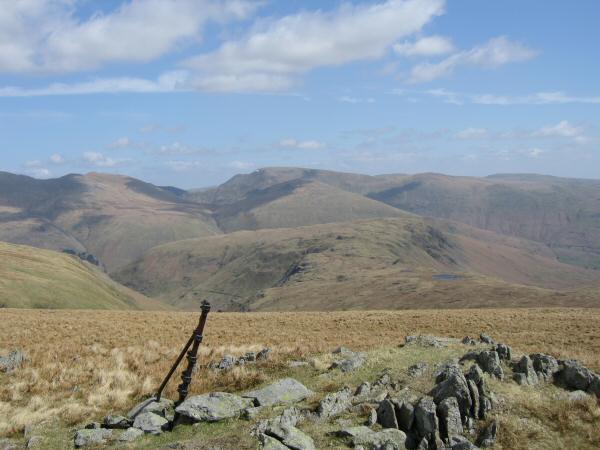
The way south from High Seat. The fell on the skyline (right of centre) is Ullscarf with High Raise on the far right
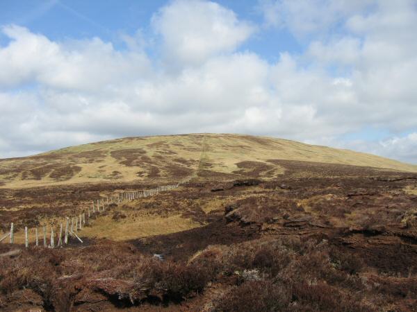
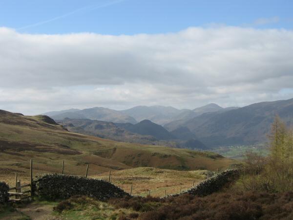
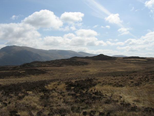
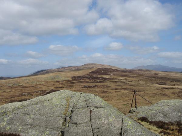
Looking back to High Seat from the middle of The Pewits
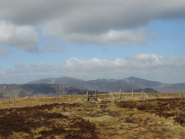
The north western fells from High Tove's summit
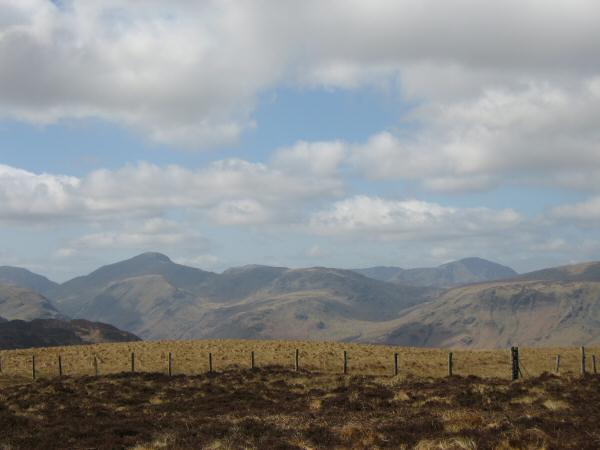
Great Gable to Pillar from High Tove's summit
Armboth Fell with the Helvellyn ridge behind
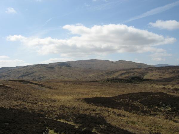
Ullscarf from Armboth Fell's summit
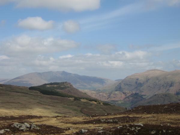
Raven Crag with Blencathra behind and Clough Head on the right from Armboth Fell's summit
Helvellyn from Armboth Fell's summit

360 Panorama from Armboth Fell's summit
Looking back to Armboth Fell with the Dodds behind as we head for Shivery Knott
Looking north to High Tove and High Seat (Blencathra is on the right and the top of Skiddaw can just be made out left of centre) from Shivery Knott
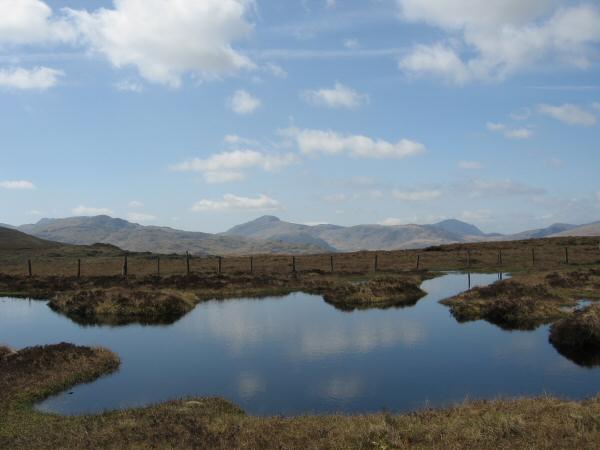
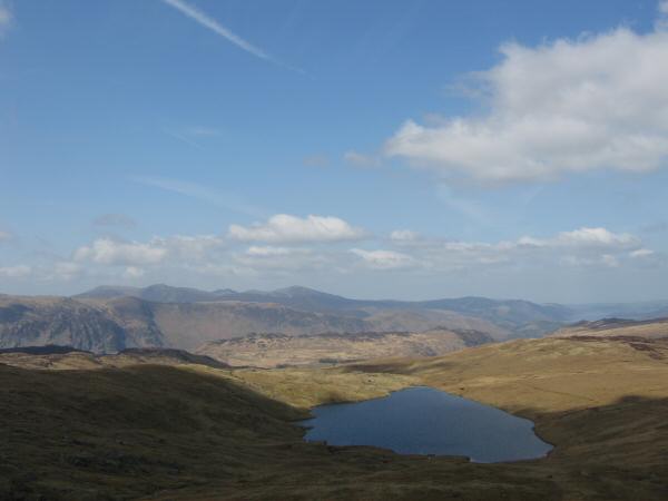
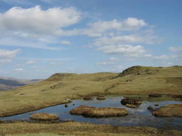
Great Gable from the small unnamed tarn on Long Moss
High Seat, Armboth Fell, the wooded Raven Crag and Skiddaw, Blencathra and Clough Head in the distance from Bell Crags' summit

360 Panorama from Bell Crags' summit
Blea Tarn and the north western fells from Standing Crag
Glaramara, Great Gable, Pillar and the High Stile ridge (behind Honister Crag) from Ullscarf's summit

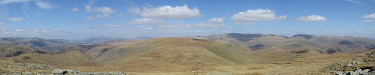
360 Panorama from Ullscarf's summit
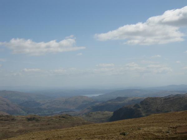
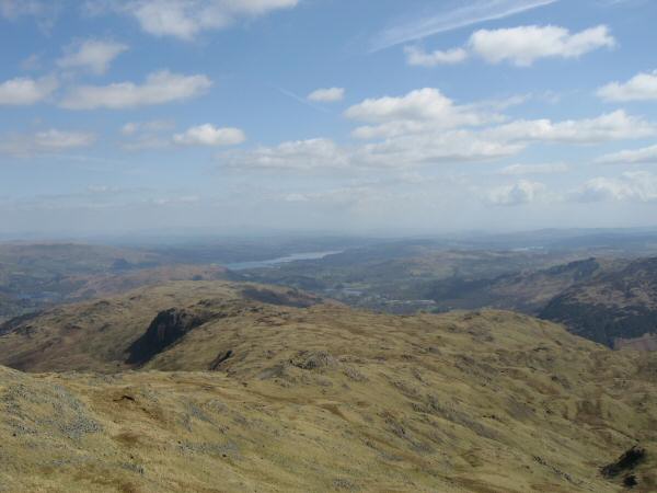
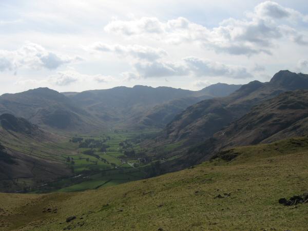
Looking south east from Ullscarf to Windermere
Looking over Steel Fell to Fairfield
Looking back to Ullscarf from the climb to Low White Stones from Greenup Edge
Northerly panorama from just below Low White Stones
South westerly panorama from High Raise's summit
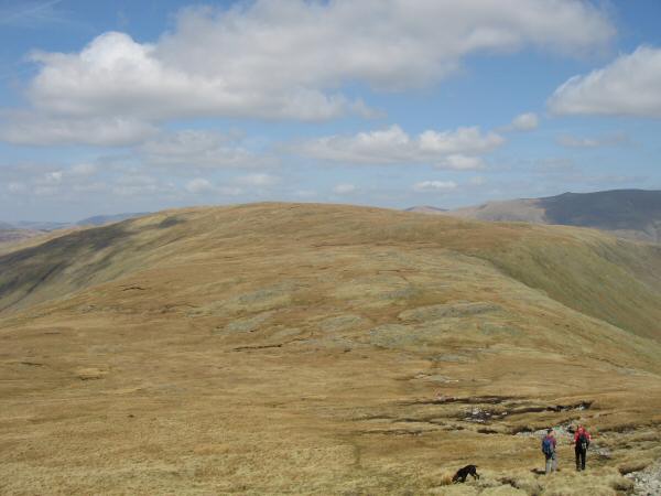
The Blea Rigg ridge from Sergeant Man's summit
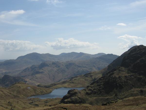
Stickle Tarn and the Coniston Fells
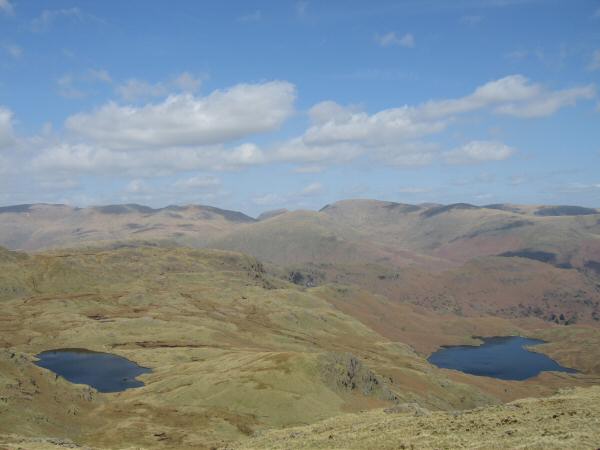
Codale Tarn and Easedale Tarn from the ridge to Blea Rigg
The ridge to Blea Rigg from Sergeant Man
Looking back to Sergeant Man (high point on the skyline) from the ridge to Blea Rigg
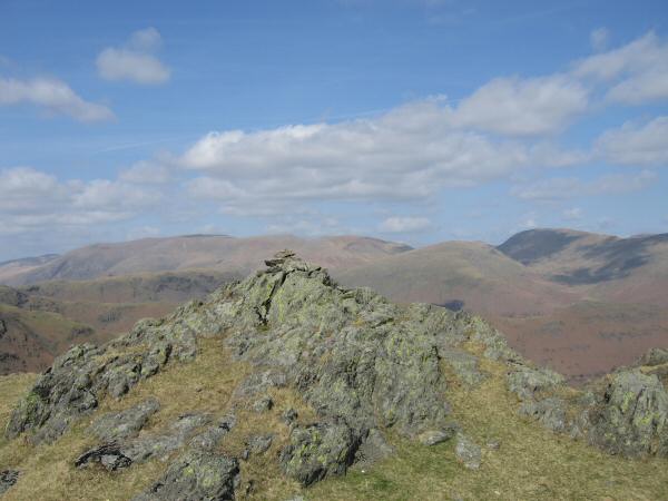
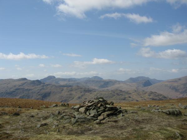
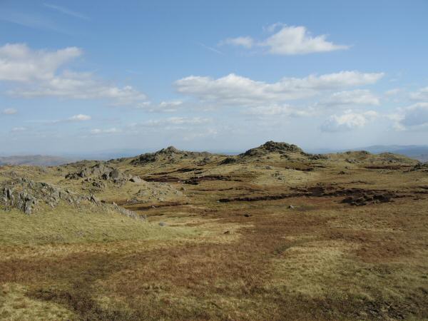
Blea Rigg's summit

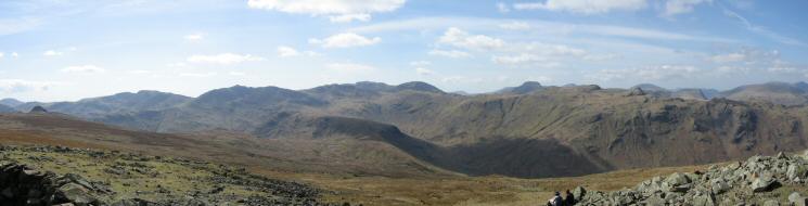
360 Panorama from Blea Rigg's summit
Great Langdale
Silver How (left) from one of the tarns near Lang How
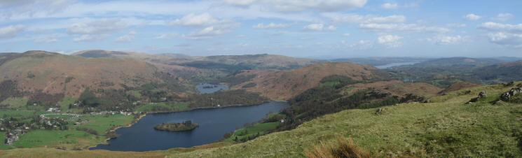
Grasmere with Rydal Water behind and Windermere on the right from Silver How's summit
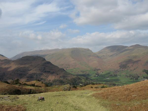
Helm Crag with the Helvellyn ridge behind, Seat Sandal, Fairfield and Great Rigg from the descent to Grasmere from Silver How
Previous Walk: Helvellyn from Swirls (Wed 26 Apr 2006)
Next Walk: Sour Howes and Sallows (Sun 30 Apr 2006)