Angletarn Pikes, Angle Tarn and Brock Crags from Patterdale
Sun 5 Feb 2012
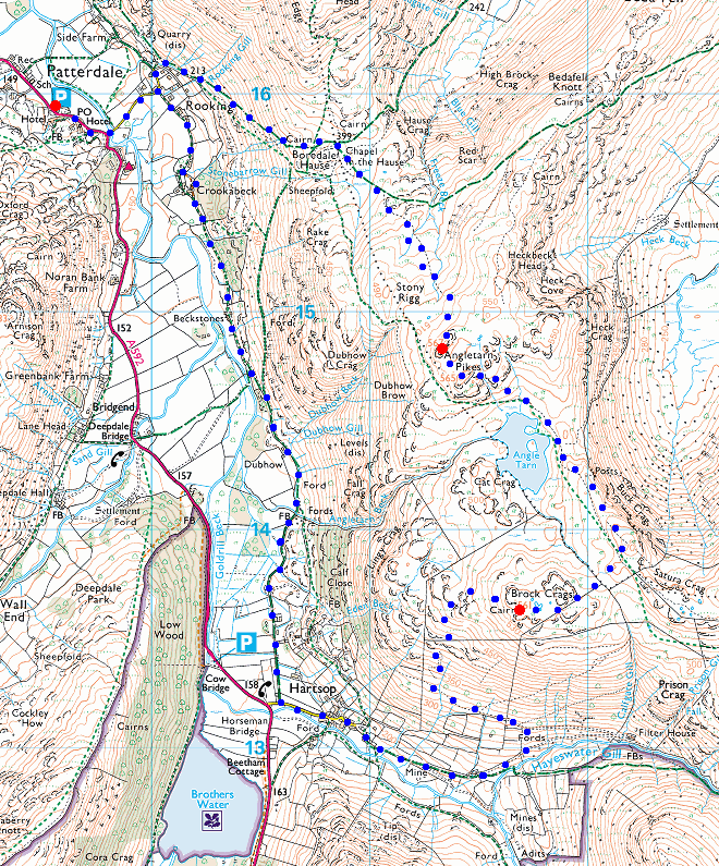
Route: Patterdale - Boredale Hause - Angletarn Pikes - Angle Tarn - Brock Crags - Hartsop - Patterdale
Distance: 7.25 miles
Ascent: 1,900ft
Time: 5 hours
With: David and Jennifer Hall
Notes:
Snowy underfoot at all levels, hardly any wind, sunny intervals
© Crown copyright. All rights reserved. Licence number AL100038401
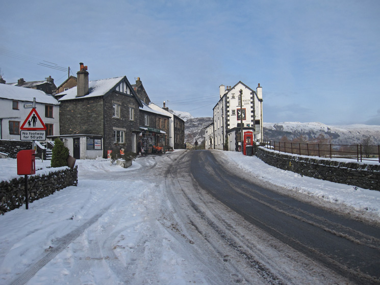
Patterdale
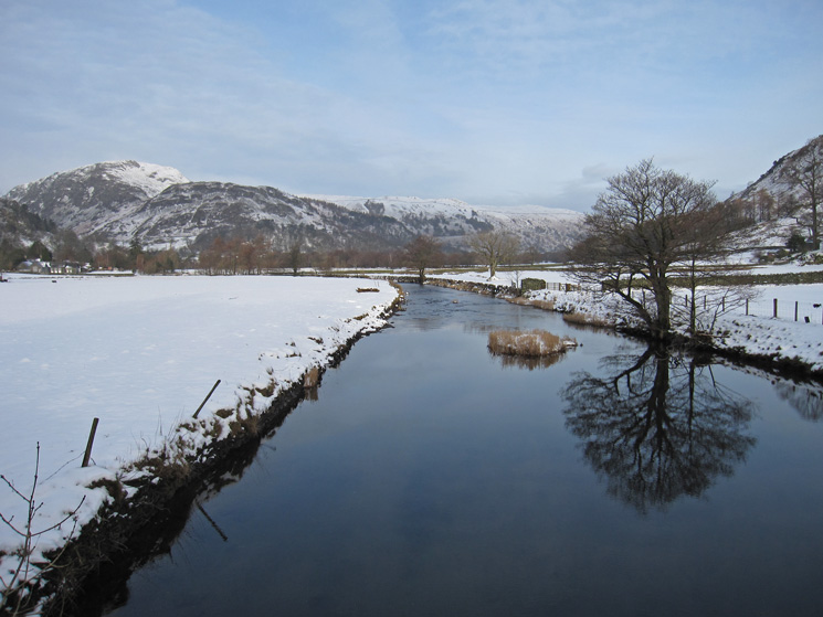
Goldrill Beck with Sheffield Pike top left
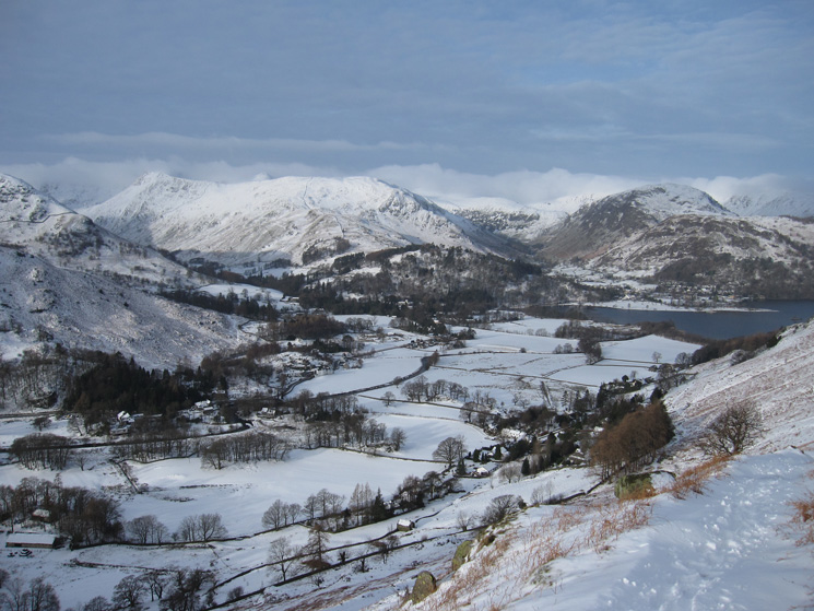
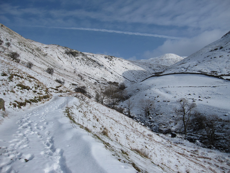
Looking back to Patterdale and the head of Ullswater as we head for Boredale Hause
Over Boredale Hause to Place Fell as we ascend Angletarn Pikes
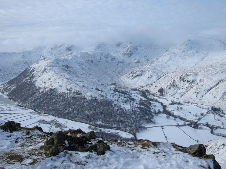
Boredale with Hallin Fell at the far end
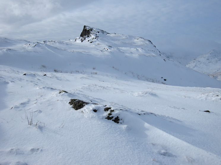
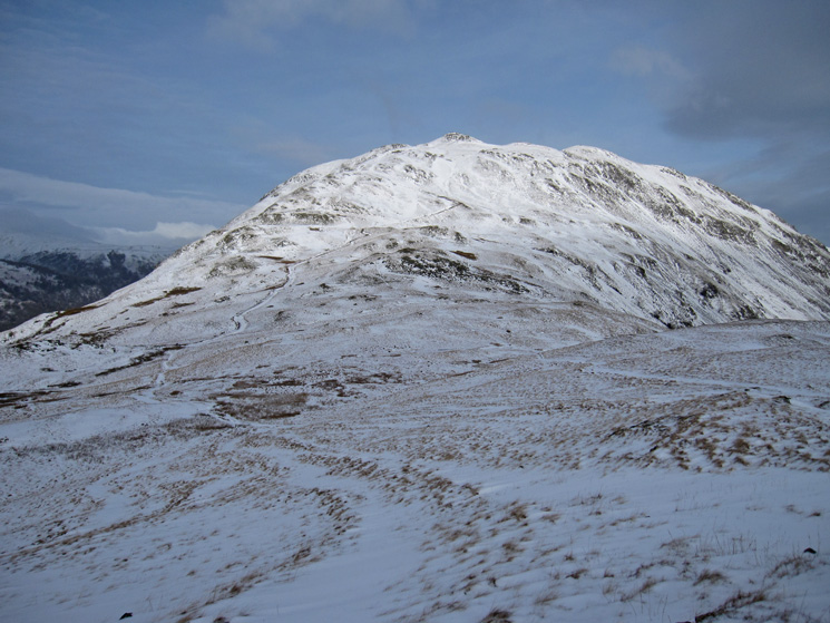
Angletarn Pikes, north top
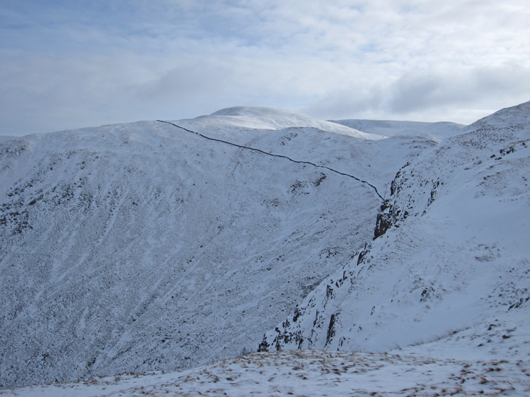
The long ridge of Hartsop Above How from Angletarn Pikes' north top
Brothers Water, partly frozen. Red Screes left of centre, skyline
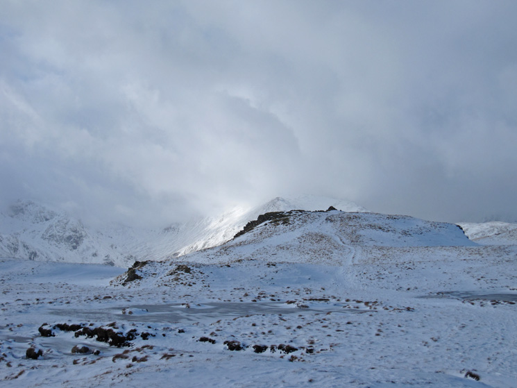
Saint Sunday Crag (left) with High Spying How (start of Striding Edge, right) and a bit of sun on Catstycam (further right) from the southern top
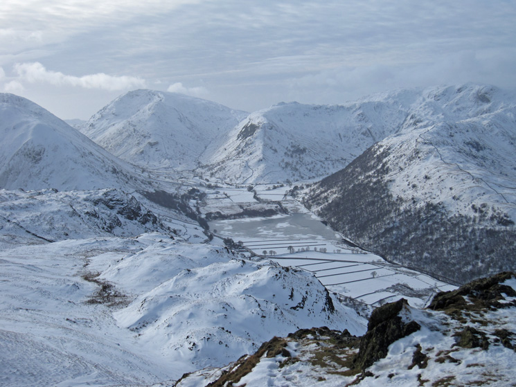
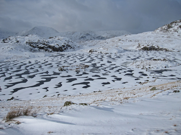
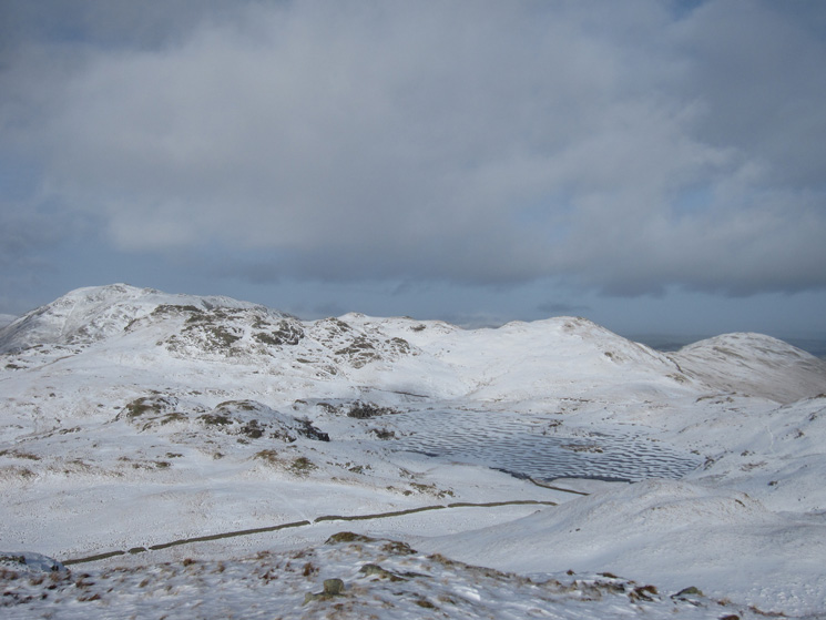
Over a frozen Angle Tarn to High Street in the distance from Angletarn Pikes' southern top
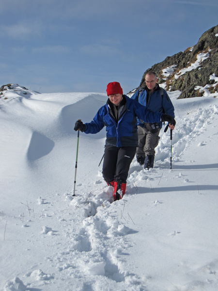
Mr and Mrs H
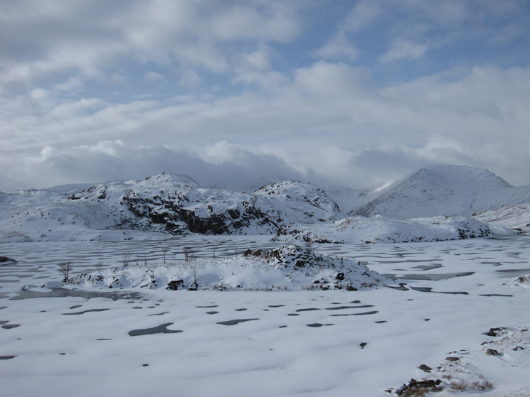
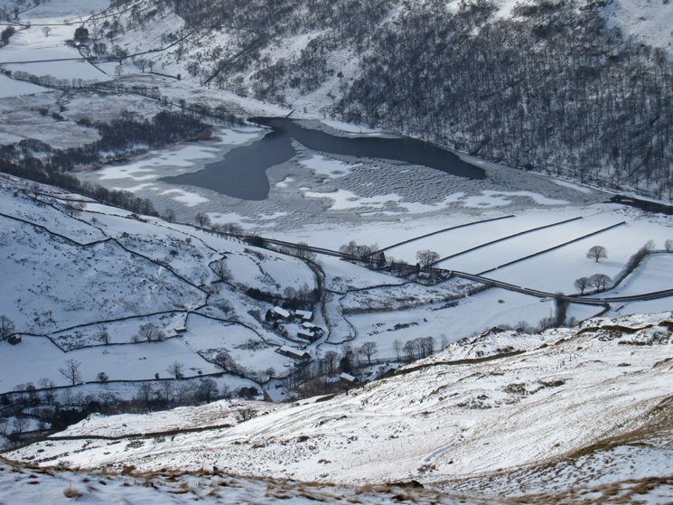
Angle Tarn
Angle Tarn
Bannerdale
Rest Dodd
Approaching Brock Crags' summit
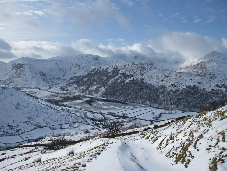
Angle Tarn with its pikes behind from Brock Crags. Place Fell behind again on the far left. Beda Head on the far right.
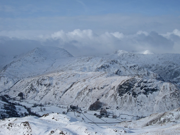
The tops of Hart Crag, Fairfield and Saint Sunday Crag are in cloud
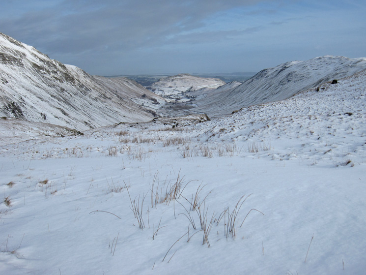
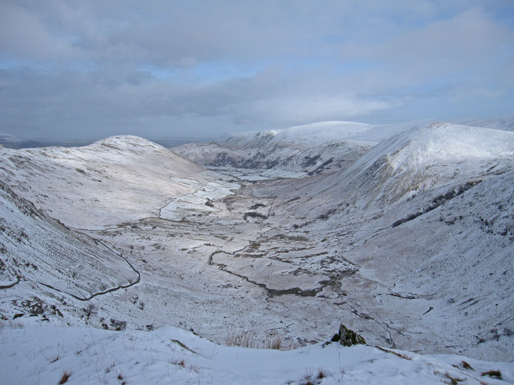
Down on Brothers Water and Hartsop
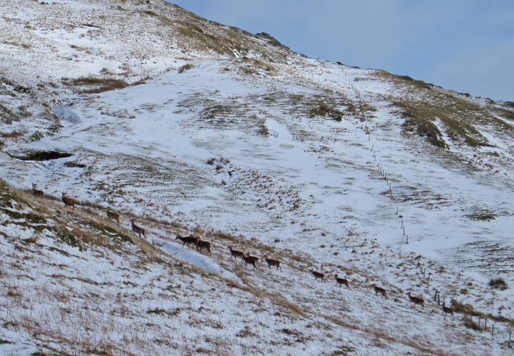
Deer spotted on our descent
Gray Crag and Pasture Bottom
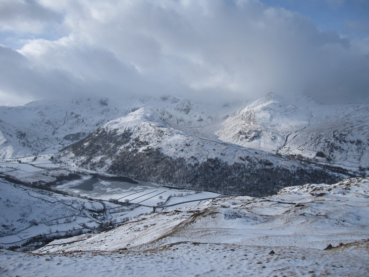
Brothers Water with the Hartsop Above How ridge behind from our descent to Hartsop
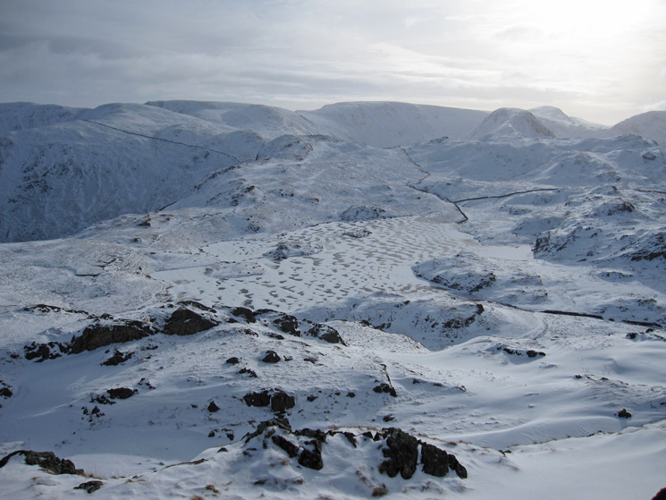
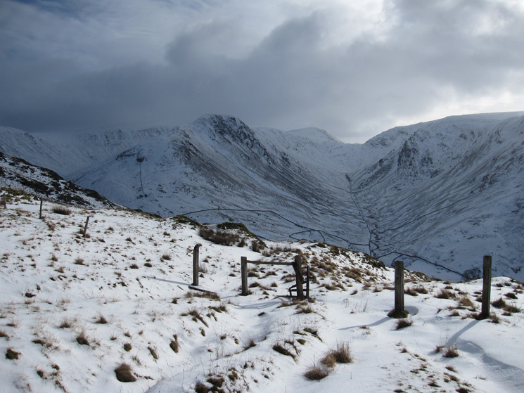
Down on the Filter House road, looking up Hayeswater Gill to The Knott
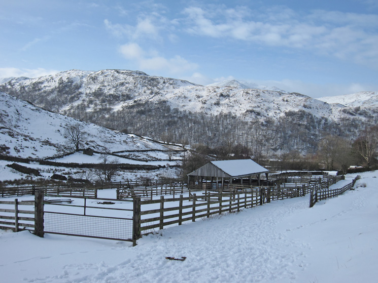
Hartsop sheep pens
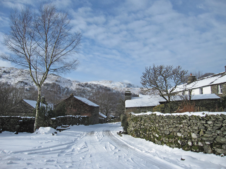
Heading through Hartsop
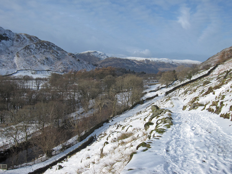
On the way back to Patterdale from Hartsop
Previous Walk: Fells around the foot of Thirlmere (Sat 4 Feb 2012)
Next Walk: Whiteside to Whiteless Pike (Tue 7 Feb 2012)