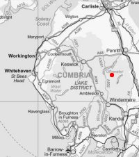
The Nab plus ten (A Martindale Round)
Sat 14 May 2005
Route: St. Peter's Church (Martindale) - Steel Knotts - Wether Hill - Red Crag - Redcrag Tarn - Raven Howe - High Raise - Kidsty Pike - Rampsgill Head - The Knott - Rest Dodd - The Nab - Satura Crag - Brock Crags - Angle Tarn - Angletarn Pikes - Beda Fell - Winter Crag - St. Peter's Church
Distance: 14.25 miles
Ascent: 4,400ft
Time: 7 hours 35 minutes
With: David Hall
Notes:
Sunshine and blue sky with a strong wind on the tops.
The Wainwright Society's Great Lakeland Challenge is to climb all the Wainwrights including the Outlying Fells (214 plus 56) in one week. I signed up for The Nab.
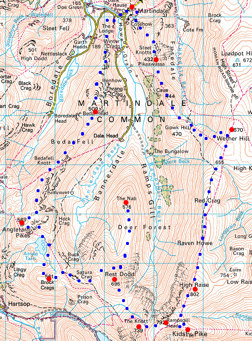
© Crown copyright. All rights reserved. Licence number AL100038401
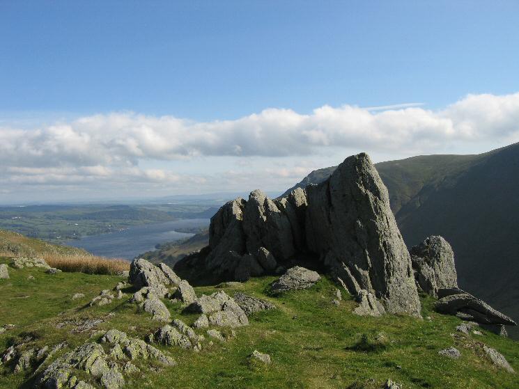
Pikeawassa, Steel Knotts' summit with Ullswater in the distance

Martindale panorama from Steel Knotts summit
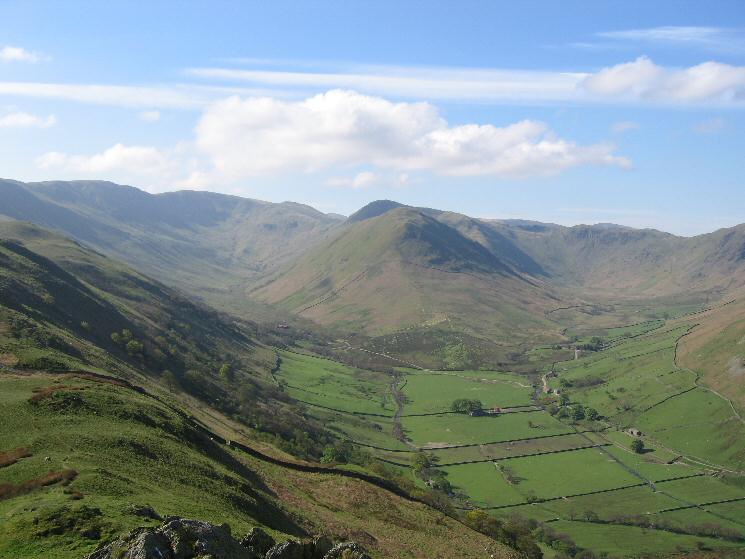
The Nab with Ramps Gill to the left and Bannerdale to the right
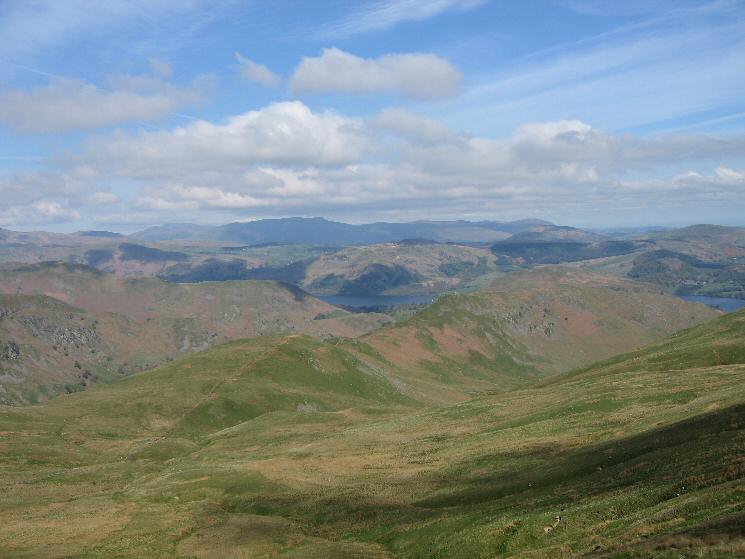
Looking back down on Steel Knotts from our ascent of Wether Hill
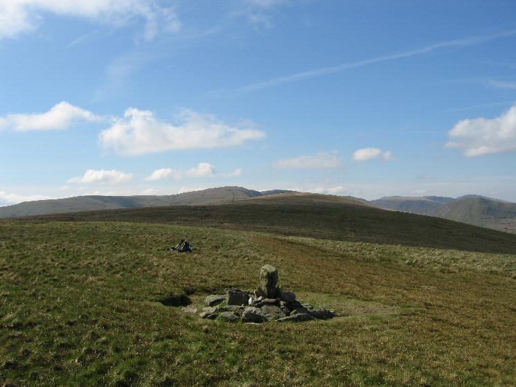
The view south (High Street Roman Road) from Wether Hill's summit cairn
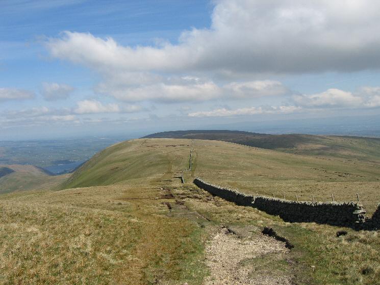
Looking back to Raven Howe from High Raise
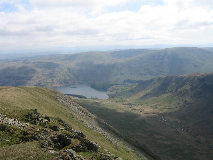
Haweswater and Riggindale from Kidsty Pike
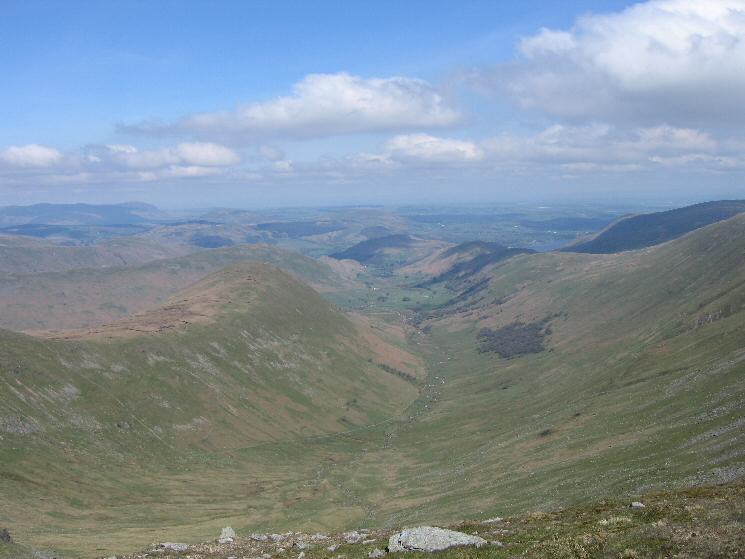
The Nab and Ramps Gill from Rampsgill Head

Westerly panorama from Rampsgill Head
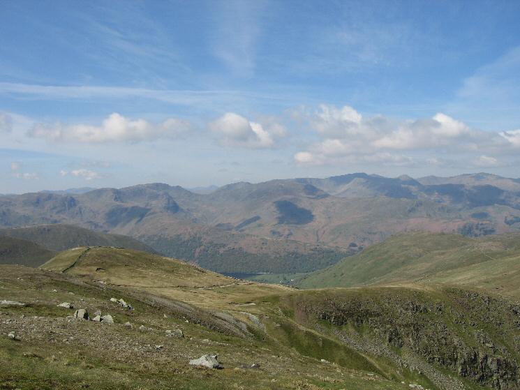
The Knott (near left) with the Fairfield and Helvellyn Fells from Rampsgill Head
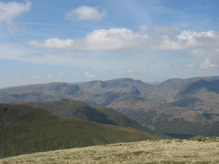
Fairfield from The Knott
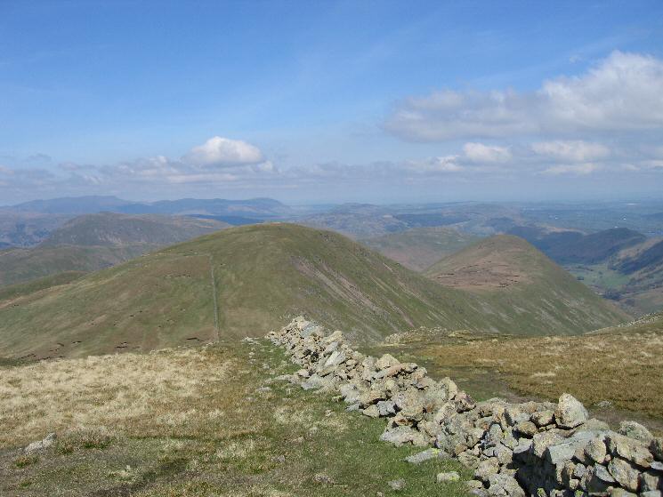
Rest Dodd and The Nab from The Knott
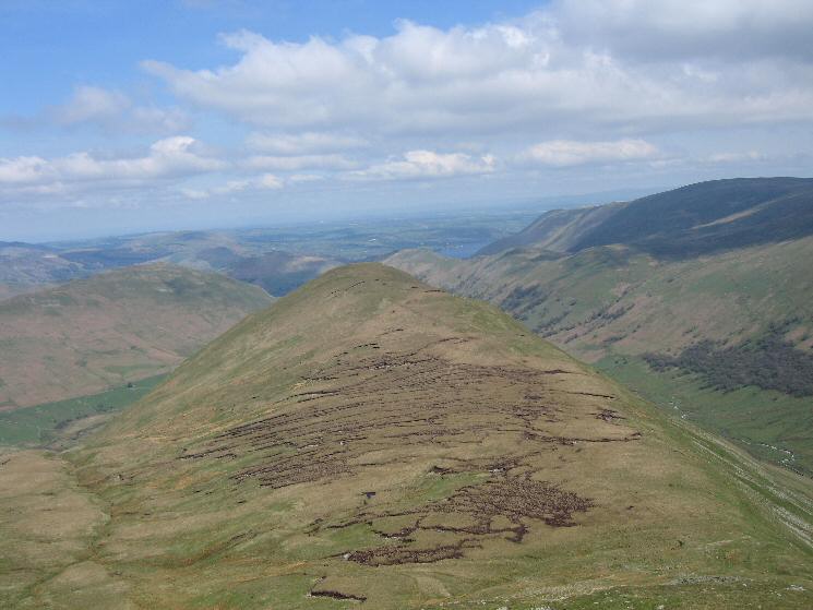
The Nab from Rest Dodd
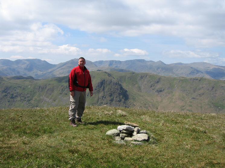
The Nab's summit
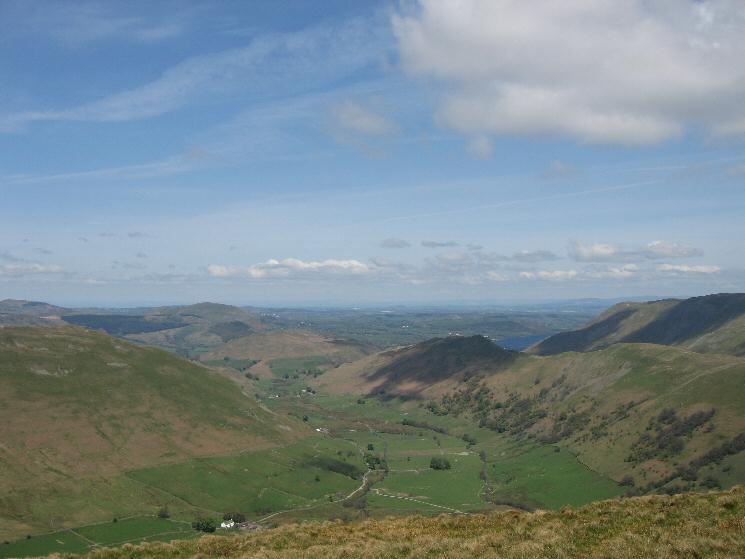
Martindale from The Nab
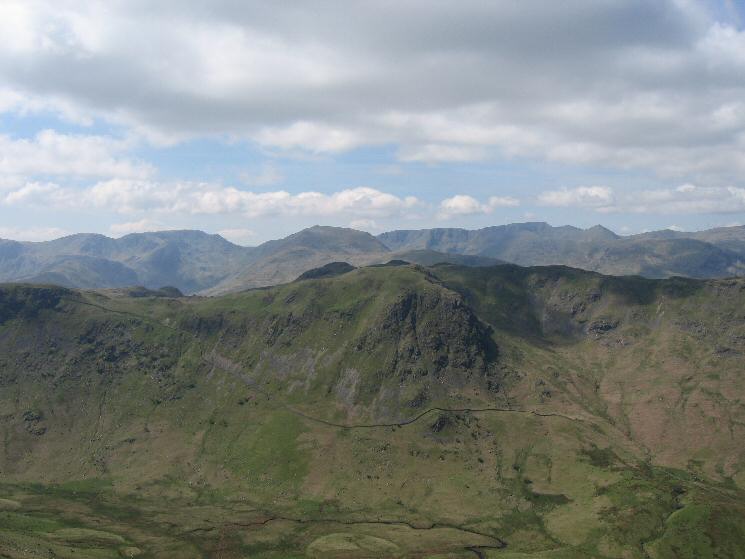
Heck Crag with Fairfield, Saint Sunday Crag, Helvellyn and the pointed Catstycam on the skyline from The Nab's summit
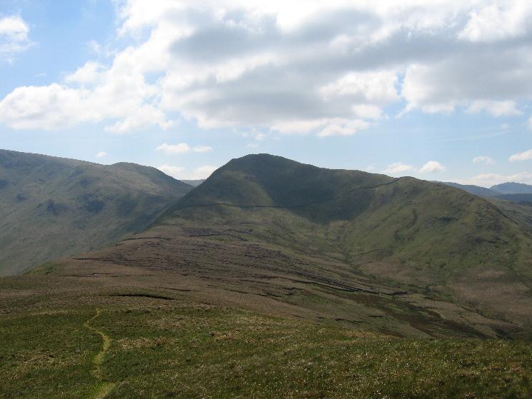
Rest Dodd from The Nab
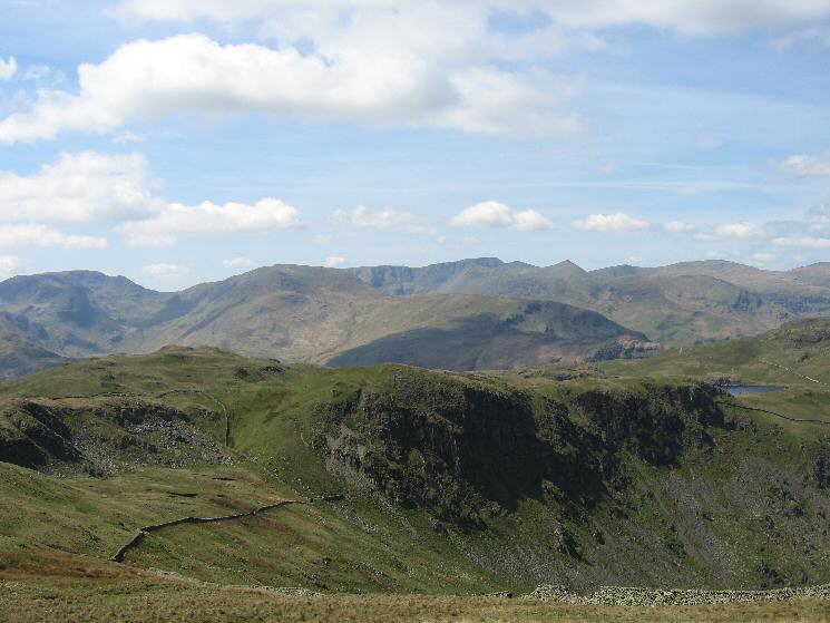
Brock Crags, Buck Crag and a glimpse of Angle Tarn
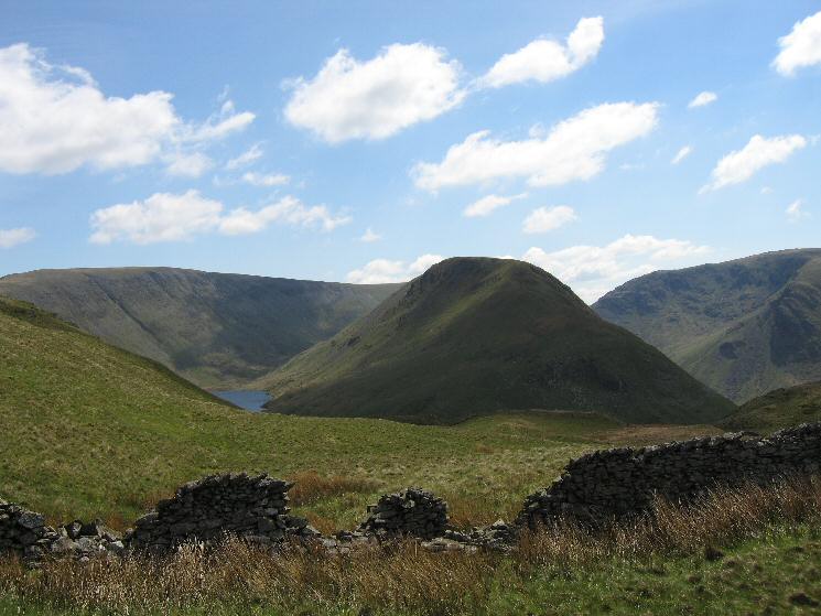
High Street, a bit of Hayeswater and Gray Crag from our route across to Brock Crags
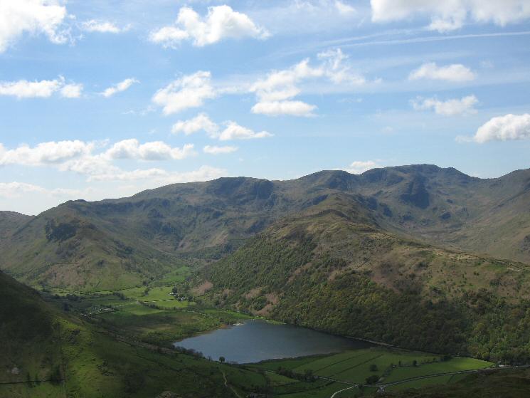
Brothers Water with High Hartsop Dodd, Little Hart Crag, Dove Crag, the Hartsop Above How ridge leading to Hart Crag and Fairfield from Brock Crags
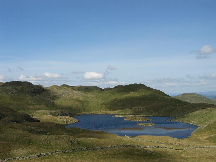
Angle Tarn from the descent off Brock Crags
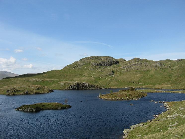
Angle Tarn and the southern (and lower) top of Angletarn Pikes
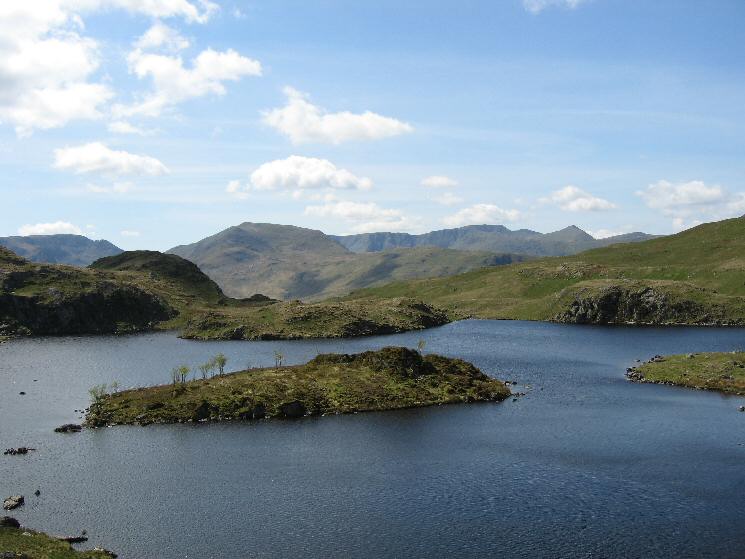
Looking across Angle Tarn to Fairfield, Saint Sunday Crag, Helvellyn and Catstycam
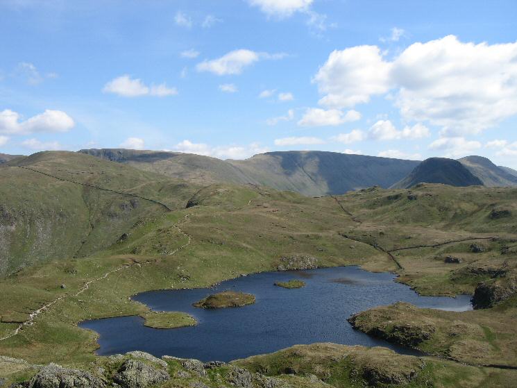
Angle Tarn from Angletarn Pikes south top with l-to-r skyline: Rest Dodd, Rampsgill Head, The Knott, High Street, Gray Crag and Thornthwaite Beacon

Northwesterly panorama from Angletarn Pikes' northern top
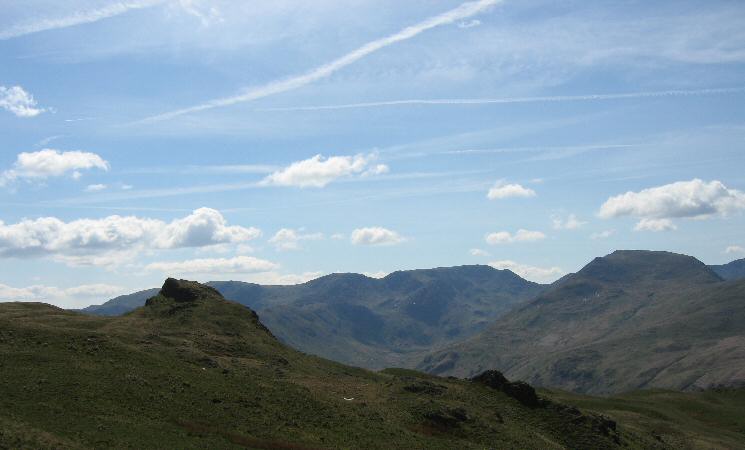
Angletarn Pikes' north top, Fairfield and Saint Sunday Crag
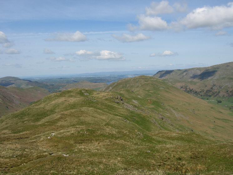
The ridge to Beda Fell
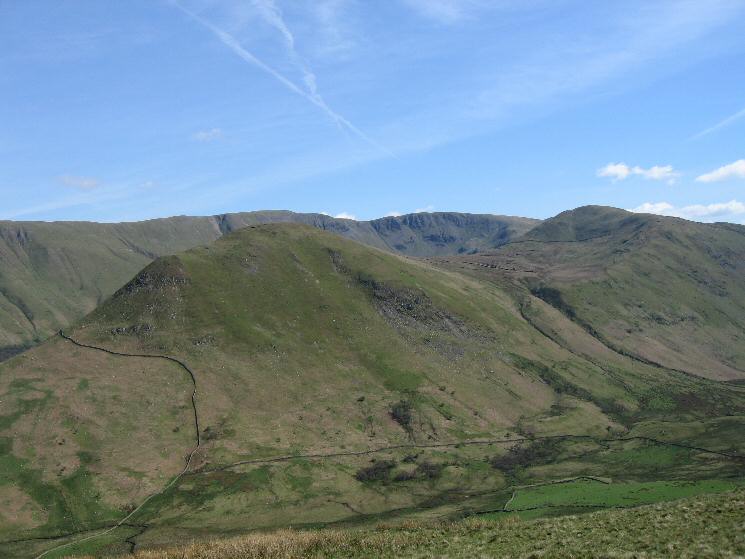
The Nab from Beda Fell
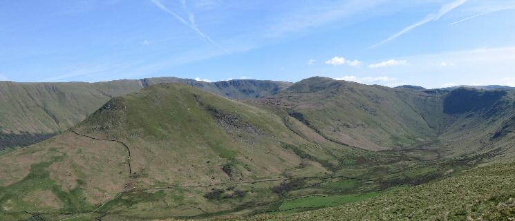
The Nab and Rest Dodd seen across Bannerdale with High Raise and Rampsgill Head behind
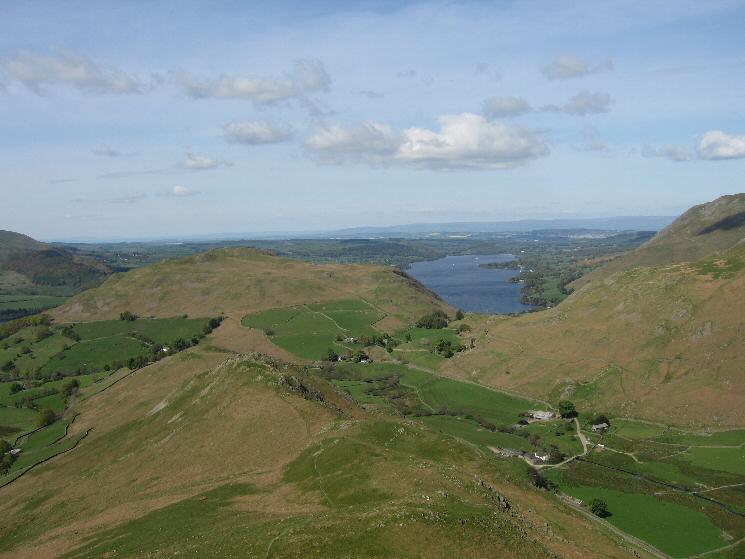
Hallin Fell and Ullswater from the descent from Beda Head
Previous Walk: Carrock Fell and High Pike (Thu 12 May 2005)
Next Walk: Branstree and Selside Pike (Sun 15 May 2005)
