Causey Pike plus
Sat 14 Sep 2002
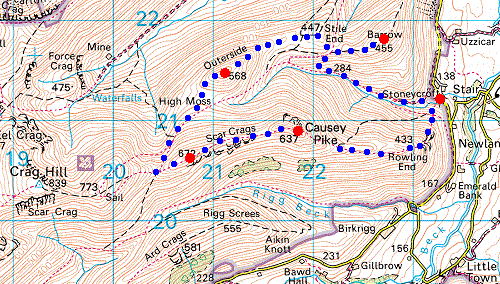
Route: Stonycroft near Stair - Rowling End - Causey Pike - Scar Crags - Sail Pass - High Moss - Outerside - Stile End - Barrow - Stonycroft near Stair
Distance: 6.50 miles
Ascent: 2,700ft
Time: 3 hours
With: Anne
Notes:
Hot, sunny, hazy
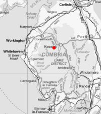
© Crown copyright. All rights reserved. Licence number AL100038401
Swinside
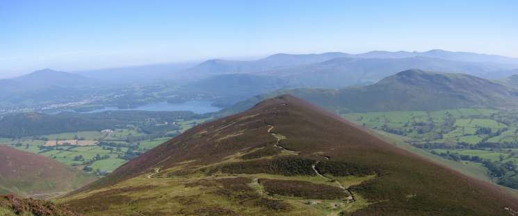
Derwent Water from Rowling End
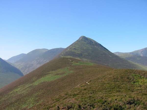
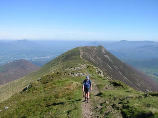
The ridge to Causey Pike from Rowling End
Looking back down on Rowling End
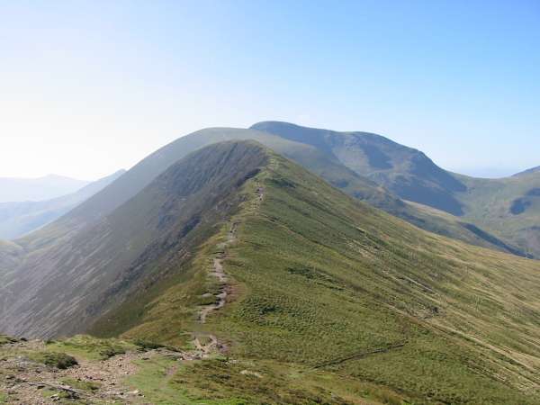
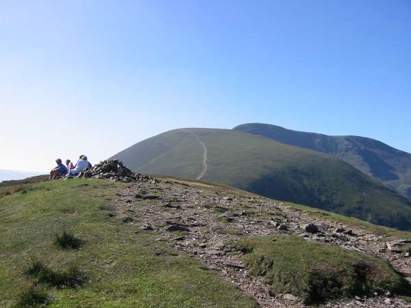
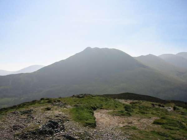
Causey Pike summit with the ridge to Scar Crags, Sail and Eel Crag

360 Panorama from Causey Pike's summit
Scar Crags
Heading up Scar Crags from Causey Pike
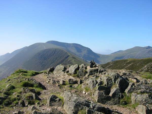
Scar Crags summit
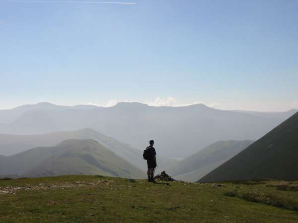
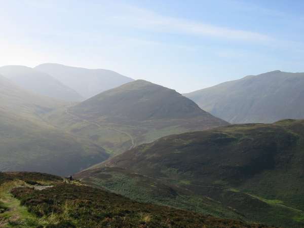
A hazy High Stile ridge from Scar Crags
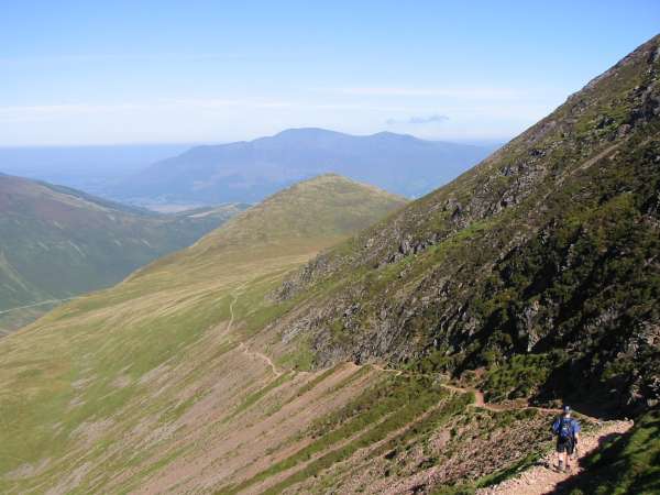
Outerside with Skiddaw in the distance from the Sail Pass path
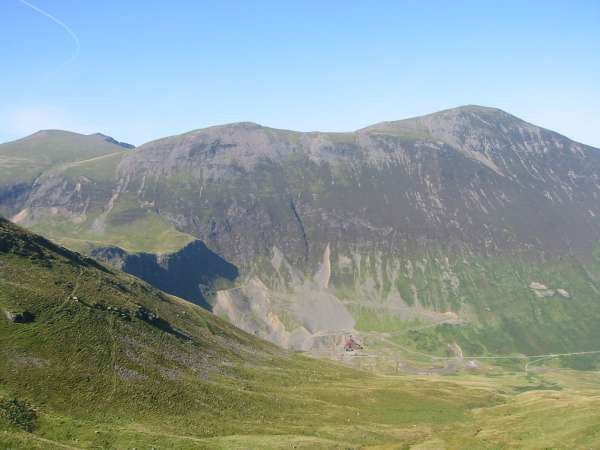
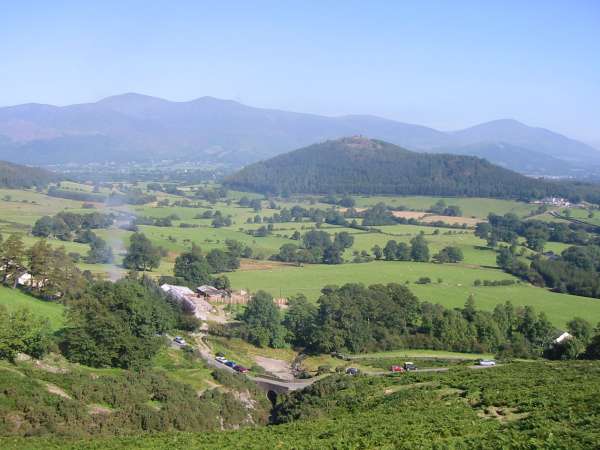
Grisedale Pike and Force Crag Mine
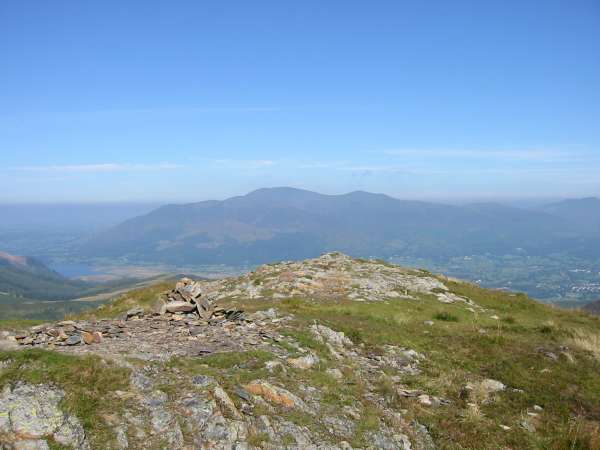
Skiddaw from Outerside's summit
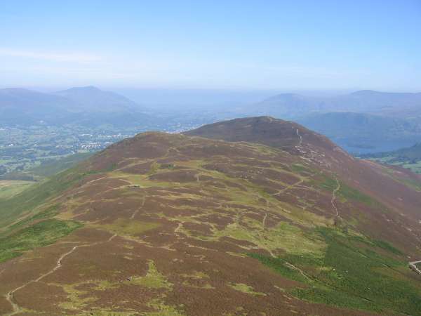
Stile End and Barrow from Outerside
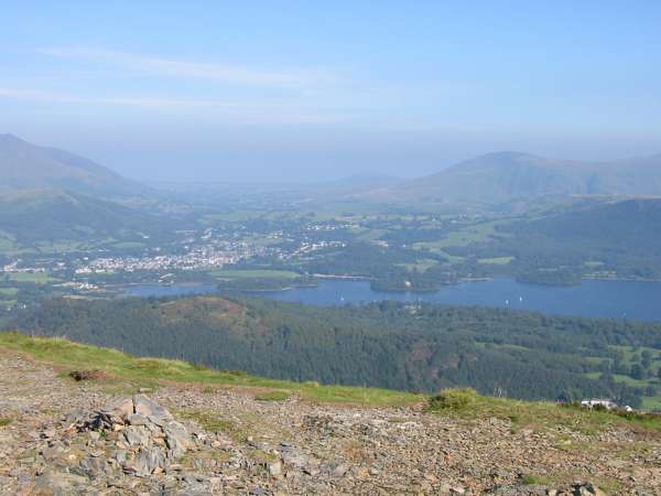
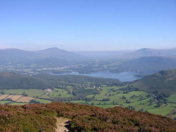
Keswick from Barrow's summit
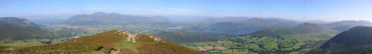
Panorama from Barrow's summit
Causey Pike from Barrow
Outerside from Barrow
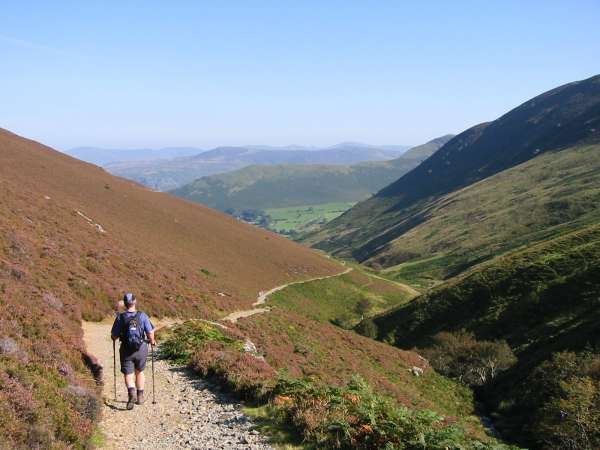
The mine road by Stonycroft Gill
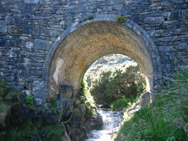
Stonycroft Bridge
Previous Walk: Helvellyn Ridge (Dollywaggon Pike to White Side) (Fri 13 Sep 2002)
Next Walk: Potter Fell (Fri 20 Sep 2002)